Wichenford Court

Heritage Site in Worcestershire Malvern Hills

England

Wichenford Court

Cob House Fisheries This is the nearly new Mayfly Cafe and reception area. The fisheries now boast various animals and walks to delight the visitor.
Cob House Fisheries Credit: Chris Allen

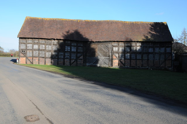
Wichenford Court, located in Worcestershire, England, is a historic heritage site that holds significant architectural and historical value. The Court is a Grade II listed building and is known for its stunning Jacobean-style architecture. It was constructed in the early 17th century and has retained much of its original charm and character.

The building is constructed of red brick with stone dressings, giving it a distinctive and elegant appearance. It features a symmetrical façade with mullioned and transomed windows, projecting gables, and a central porch with a classical entrance. The interior of Wichenford Court is equally impressive, with its grand oak staircase, intricately carved fireplaces, and ornate plasterwork.

Throughout its history, Wichenford Court has been associated with several notable figures, including the Talbot family, who owned the estate for many generations. The Court was also a frequent meeting place for local dignitaries and played a role in the social and political life of the region.

The site is surrounded by picturesque gardens and grounds, offering visitors a peaceful and scenic environment. The gardens feature well-manicured lawns, mature trees, and flower beds, making it an ideal spot for a leisurely stroll or a picnic.

Today, Wichenford Court serves as a private residence, but it has also been utilized for various events and functions. Its historical significance, combined with its architectural beauty, make it a cherished heritage site in Worcestershire, attracting visitors interested in exploring the region's rich history and cultural heritage.

If you have any feedback on the listing, please let us know in the comments section below.

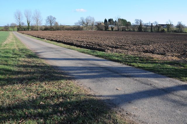
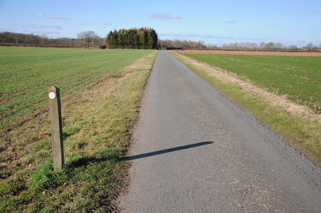
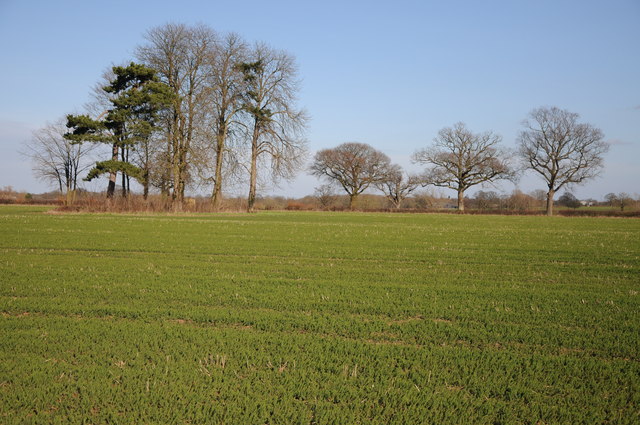
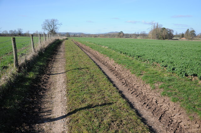
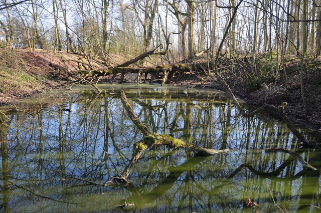
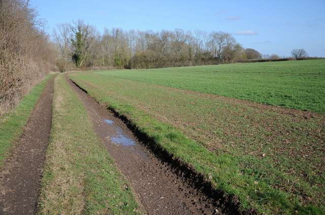
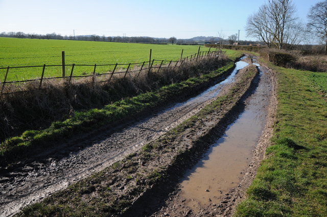
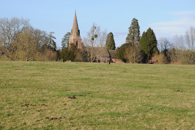
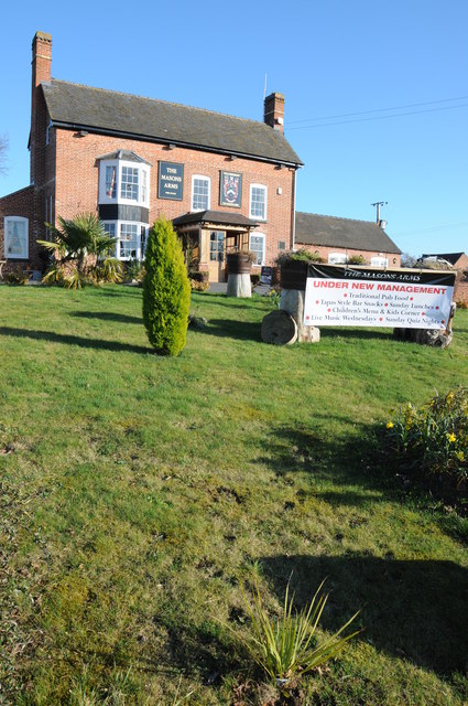
Wichenford Court Images

Images are sourced within 2km of 52.233/-2.315 or Grid Reference SO7859. Thanks to Geograph Open Source API. All images are credited.

Cob House Fisheries This is the nearly new Mayfly Cafe and reception area. The fisheries now boast various animals and walks to delight the visitor.
Cob House Fisheries
This is the nearly new Mayfly Cafe and reception area. The fisheries now boast various animals and walks to delight the visitor.
Cob House Fisheries - Robin On the edge of the fishing pond called Wyatts. Very often there are fishing competitions at the weekend and the public are kept out of this area. But not today - the lakes were largely frozen.
Cob House Fisheries - Robin
On the edge of the fishing pond called Wyatts. Very often there are fishing competitions at the weekend and the public are kept out of this area. But not today - the lakes were largely frozen.
Laurel Pool - Cob House Fisheries
Potential life saver - Cob House Fisheries This pool is called Pear and is a no fishing area.
Potential life saver - Cob House Fisheries
This pool is called Pear and is a no fishing area.
Ducks walk on water - Cob House Fisheries Well it is frozen! The fishing lake called Wyatts with 30 pegs.
Ducks walk on water - Cob House Fisheries
Well it is frozen! The fishing lake called Wyatts with 30 pegs.
Thirsty reindeer - Cob House Fisheries The position and direction are approximate because this development is not on the aerial photograph.
Thirsty reindeer - Cob House Fisheries
The position and direction are approximate because this development is not on the aerial photograph.
Who're you looking at? Cob House Fisheries Position and direction approximate. The Fisheries now have goats, Alpacas (this is one), Reindeer and Kune Kune pigs to delight the visitor. I'm no Peter Trimming though.
Who're you looking at? Cob House Fisheries
Position and direction approximate. The Fisheries now have goats, Alpacas (this is one), Reindeer and Kune Kune pigs to delight the visitor. I'm no Peter Trimming though.
Footpath to Greenstreet Farm Footpath through an arable field to Greenstreet Farm to the south-east of Wichenford.
Footpath to Greenstreet Farm
Footpath through an arable field to Greenstreet Farm to the south-east of Wichenford.
Track near Wichenford Court Track near Wichenford Court with Hill Farm visible in the background on the right.
Track near Wichenford Court
Track near Wichenford Court with Hill Farm visible in the background on the right.
Road to Hill Farm, Wichenford The post on the left indicating the route of the public footpath suggests it has been rerouted and now follows the drive rather than running parallel with the road for a short distance.
Road to Hill Farm, Wichenford
The post on the left indicating the route of the public footpath suggests it has been rerouted and now follows the drive rather than running parallel with the road for a short distance.
Trees near Kenswick Manor First impressions suggest the clump of trees on the left are on the site of a tumulus, I thought I could even see a standing stone.  A quick look at the OS map reveals nothing and then I look through my binoculars and realise what I think is a standing stone is the stump of a large felled dead tree.
Trees near Kenswick Manor
First impressions suggest the clump of trees on the left are on the site of a tumulus, I thought I could even see a standing stone. A quick look at the OS map reveals nothing and then I look through my binoculars and realise what I think is a standing stone is the stump of a large felled dead tree.
Farm track and arable land Farm track to the south of Kenswick Manor.
Farm track and arable land
Farm track to the south of Kenswick Manor.
Pool in a wood Trees reflected in a pool in a small wood near Kenswick Manor.
Pool in a wood
Trees reflected in a pool in a small wood near Kenswick Manor.
Track and arable field Track and arable field near Kenswick Mill.
Track and arable field
Track and arable field near Kenswick Mill.
Track to Woodhall Farm Track to Woodhall Farm near Blackpool Coppice.
Track to Woodhall Farm
Track to Woodhall Farm near Blackpool Coppice.
Barn at Wichenford Court
Wichenford church Wichenford church viewed from near Wichenford Court.
Wichenford church
Wichenford church viewed from near Wichenford Court.
The Masons Arms The Masons Arms on the B4204 to the east of Martley.
The Masons Arms
The Masons Arms on the B4204 to the east of Martley.
Show me another place!

Wichenford Court is located at Grid Ref: SO7859 (Lat: 52.233, Lng: -2.315)

Administrative County: Worcestershire

District: Malvern Hills

Police Authority: West Mercia

What 3 Words

///test.royal.gobbling. Near Lower Broadheath, Worcestershire

Related Wikis

Wichenford

Wichenford is a village and civil parish (with Kenswick) in the Malvern Hills District in the county of Worcestershire, England. It lies 7 miles (11km...

Kenswick, Worcestershire

Kenswick is a village and civil parish (with Wichenford) in the Malvern Hills District in the county of Worcestershire, England. == External links... ==

The Chantry School

The Chantry School is a mixed gender secondary school with academy status located in Martley, Worcestershire, England. The school has about 700 students...

Martley

Martley is a village and civil parish in the Malvern Hills district of the English county of Worcestershire. It is approximately nine miles north-west...

Related Videos

Monk woods

Monk woods Monk woods in Worcestershire near Sinton Green, taken with GoPro hero 7 and Dji Mavic pro.

Monkwood - a Worcestershire tune writing and arranging project

Worcestershire based local musicians Andrew Rothery and Kathryn Wheeler have spent the last year encouraging each other to ...

Wichenford's Big Dig: What did we find?

In spring 2022, a series of archaeological 'test pits' were excavated in gardens across Wichenford, Worcestershire (UK).

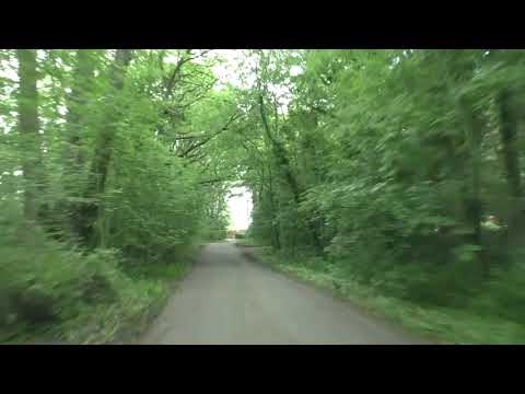
Driving From Hallow Through Sinton Green To Little Witley, Worcestershire, England 3rd June 2021

Driving from Hallow through Sinton Green to Little Witley, Worcestershire, England. Route; starting on the A433 & turning left onto ...

Nearby Amenities

Located within 500m of 52.233,-2.315
Power: pole
Lat/Long: 52.2340733/-2.3089365
Power: pole
Lat/Long: 52.233336/-2.3099985
Power: pole
Lat/Long: 52.2326492/-2.3110607
Power: pole
Lat/Long: 52.2303985/-2.3111037
Power: pole
Lat/Long: 52.231529/-2.3110982
Wichenford Court
Power: pole
Transformer: distribution
Voltage Primary: 11000
Lat/Long: 52.2368493/-2.3117906
Keepers Cottage
Power: pole
Transformer: distribution
Voltage Primary: 11000
Lat/Long: 52.2359894/-2.3174702
Power: pole
Lat/Long: 52.2359574/-2.3186477
Power: pole
Lat/Long: 52.2359385/-2.3198278
The data included in this document is from www.openstreetmap.org. The data is made available under ODbL.

Have you been to Wichenford Court?

Leave your review of Wichenford Court below (or comments, questions and feedback).