Whytbank Tower

Heritage Site in Selkirkshire

Scotland

Whytbank Tower

View from Bowshank Hill Looking over surviving conifers towards smoke from a fire at Laidlawshiel. Laidlawshiel Hill, east of the smoke was my next destination.
View from Bowshank Hill Credit: Richard Webb

Whytbank Tower is a historically significant heritage site located in Selkirkshire, Scotland. This tower is a well-preserved example of a 16th-century fortified house, showcasing the architectural style and defensive features of the time.

Originally constructed as a defensive structure, Whytbank Tower was built with thick stone walls and narrow windows, providing protection for its inhabitants during times of conflict. The tower rises to a height of three stories and features a vaulted basement, which was likely used for storage. The upper floors would have served as living quarters, with evidence of fireplaces and sleeping chambers still visible today.

One notable feature of Whytbank Tower is its spiral staircase, which winds its way up through the building, connecting the different levels. This architectural detail demonstrates the practicality and efficiency of space utilization in the design of the tower.

Over the centuries, Whytbank Tower has undergone various modifications and renovations. In the 18th century, a new wing was added to the tower, expanding its living space. However, the tower retains its original character and charm, offering visitors a glimpse into the past.

Today, Whytbank Tower is recognized as a protected heritage site and is open to the public for guided tours. Visitors can explore the tower's interior, admiring its sturdy construction and imagining what life was like for its inhabitants centuries ago. The tower's location amidst picturesque Scottish countryside adds to its appeal, making it a popular destination for history enthusiasts and architecture lovers alike.

If you have any feedback on the listing, please let us know in the comments section below.

Whytbank Tower Images

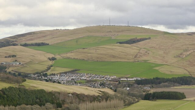
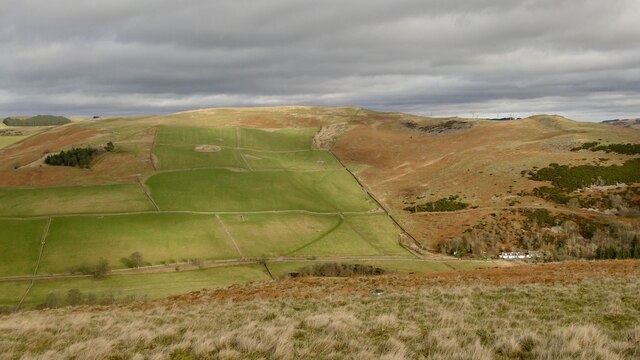
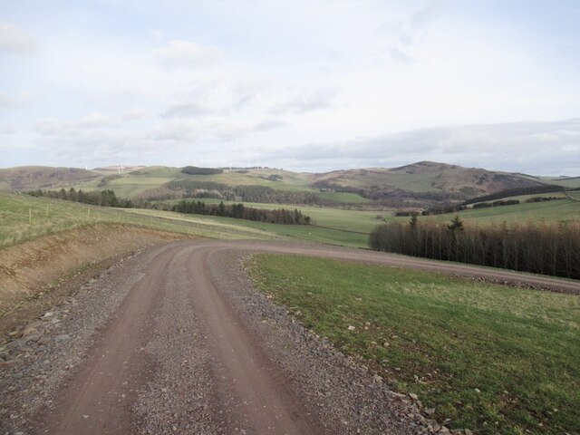
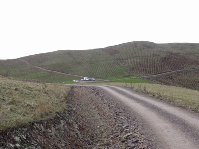
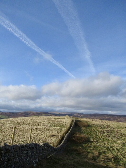
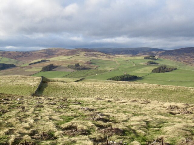
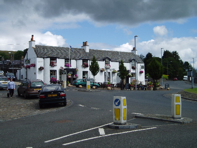
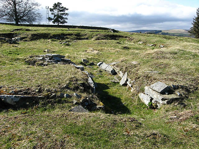
Images are sourced within 2km of 55.628/-2.882 or Grid Reference NT4437. Thanks to Geograph Open Source API. All images are credited.

View from Bowshank Hill Looking over surviving conifers towards smoke from a fire at Laidlawshiel. Laidlawshiel Hill, east of the smoke was my next destination.
View from Bowshank Hill
Looking over surviving conifers towards smoke from a fire at Laidlawshiel. Laidlawshiel Hill, east of the smoke was my next destination.
Southern side of Knowes Hill
Summit, Laidlawstiel Hill There is an irregular ruined dyke here, believed to be a sheep shelter.
Summit, Laidlawstiel Hill
There is an irregular ruined dyke here, believed to be a sheep shelter.
Ruined dyke on the summit of Laidlawstiel Hill An irregular wall which is not an enclosure. Believed to be a sheep shelter, but why at the top of the hill? Sheep go downhill in bad weather.
Ruined dyke on the summit of Laidlawstiel Hill
An irregular wall which is not an enclosure. Believed to be a sheep shelter, but why at the top of the hill? Sheep go downhill in bad weather.
Caddonfoot and Meigle Hill View from Laidlawstiel Hill.
Caddonfoot and Meigle Hill
View from Laidlawstiel Hill.
Knowes Hill Trees were being planted on Knowes Hill. The big green area is remaining as farmland.
Knowes Hill
Trees were being planted on Knowes Hill. The big green area is remaining as farmland.
New road, Dunlee Hill Associated with tree planting on Knowes Hill, the road continues almost all the way to the summit. It is quite gently graded and easy to ride up. Tree planting was taking place at the time.
New road, Dunlee Hill
Associated with tree planting on Knowes Hill, the road continues almost all the way to the summit. It is quite gently graded and easy to ride up. Tree planting was taking place at the time.
Road, Dunlee Hill Associated with tree planting on Knowes Hill, the road continues almost all the way to the summit. It is quite gently graded and easy to ride up. Tree planting was taking place at the time.
Road, Dunlee Hill
Associated with tree planting on Knowes Hill, the road continues almost all the way to the summit. It is quite gently graded and easy to ride up. Tree planting was taking place at the time.
Knowes Hill Trees had just been planted here, the team were at work at the time a short distance to the south.
Knowes Hill
Trees had just been planted here, the team were at work at the time a short distance to the south.
Newly planted trees, Knowes Hill View towards Windydoora and the Moorfoot Hills from a new road which goes almost to the top of Knowes Hill.
Newly planted trees, Knowes Hill
View towards Windydoora and the Moorfoot Hills from a new road which goes almost to the top of Knowes Hill.
Newly planted trees, Knowes Hill
Summit ridge, Knowe Hill There is a gate out of the deer fence enclosed woodland here. The summit is this side of the fence.
Summit ridge, Knowe Hill
There is a gate out of the deer fence enclosed woodland here. The summit is this side of the fence.
Deer fence, Knowes Hill A new fence surrounding the woodland which was being planted at the time. There were two gales the previous weekend and the wind was strong enough to move moss about, some of it got caught up in the wires.
Deer fence, Knowes Hill
A new fence surrounding the woodland which was being planted at the time. There were two gales the previous weekend and the wind was strong enough to move moss about, some of it got caught up in the wires.
Newly planted trees, Knowes Hill Supplied by Alba Nurseries, East Lothian.
Newly planted trees, Knowes Hill
Supplied by Alba Nurseries, East Lothian.
Tree planting, Knowes Hill
Summit, Knowes Hill Marked by a small cairn just inside the new plantation.
Summit, Knowes Hill
Marked by a small cairn just inside the new plantation.
Summit ridge, Knowes Hill The edge of the new woodland.
Summit ridge, Knowes Hill
The edge of the new woodland.
Newly planted trees, Knowes Hill
Show me another place!

Whytbank Tower is located at Grid Ref: NT4437 (Lat: 55.628, Lng: -2.882)

Unitary Authority: The Scottish Borders

Police Authority: The Lothians and Scottish Borders

What 3 Words

///nylon.enjoyable.comfort. Near Galashiels, Scottish Borders

Nearby Locations

Whytbank Tower

Related Wikis

Clovenfords railway station

Clovenfords railway station served the village of Clovenfords, Scottish Borders, Scotland from 1866 to 1962 on the Peebles Railway. == History == The station...

Clovenfords

Clovenfords is a village in the Scottish Borders area of Scotland, 1 mile (2 kilometres) north of the hamlet of Caddonfoot and 4 miles (6 kilometres) west...

Torwoodlee Broch

Torwoodlee Broch is the remains of an iron-age broch located near the town of Galashiels in the Scottish Borders. == Description == Torwoodlee Broch...

Angling Club Cottage Platform railway station

Angling Club Cottage Platform served the Edinburgh Angling Club in Selkirk, Scottish Borders, Scotland from 1898 to the late 1940s. == History == The station...

Nearby Amenities

Located within 500m of 55.628,-2.882
Whytbank Tower
Historic: castle
Lat/Long: 55.6293055/-2.8879099
Noexit: yes
Lat/Long: 55.6240441/-2.8810368
Give Way
Direction: forward
Lat/Long: 55.6239553/-2.8798138
The data included in this document is from www.openstreetmap.org. The data is made available under ODbL.

Have you been to Whytbank Tower?

Leave your review of Whytbank Tower below (or comments, questions and feedback).