Wichenford Dovecote

Heritage Site in Worcestershire Malvern Hills

England

Wichenford Dovecote

Cob House Fisheries This is the nearly new Mayfly Cafe and reception area. The fisheries now boast various animals and walks to delight the visitor.
Cob House Fisheries Credit: Chris Allen

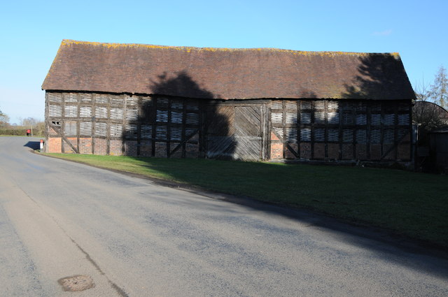
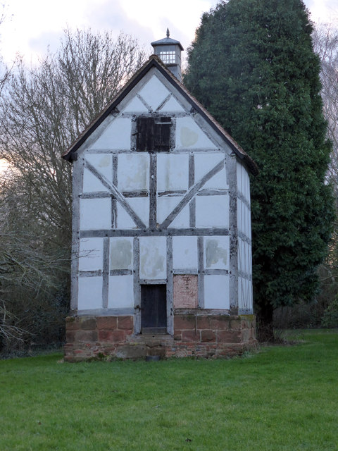
Wichenford Dovecote, located in Worcestershire, England, is a remarkable heritage site that dates back to the 16th century. This well-preserved dovecote stands as a testament to the agricultural traditions of the region and is a testament to the historical significance of this area.

The dovecote is built from timber and brick, with a conical thatched roof that adds to its unique charm. It is circular in shape and stands at an impressive height of around 6 meters. The interior of the dovecote is equally fascinating, with its walls lined with over 600 nesting holes, providing ample space for the doves that once called this place home.

Dovecotes were crucial in medieval times for providing a source of fresh meat and eggs, as well as valuable fertilizer in the form of droppings. The Wichenford Dovecote served these purposes for the surrounding estate, and its construction showcases the skills of the craftsmen of that era.

Today, the dovecote is maintained by the National Trust and is open to the public. Visitors can explore the interior and admire the intricate design and craftsmanship that went into its construction. The surrounding grounds offer a tranquil setting, with beautiful views of the Worcestershire countryside.

Wichenford Dovecote is not only a heritage site but also a symbol of the region's rich agricultural history. Its historical significance, architectural beauty, and serene surroundings make it a must-visit location for history enthusiasts and nature lovers alike.

If you have any feedback on the listing, please let us know in the comments section below.

Wichenford Dovecote Images

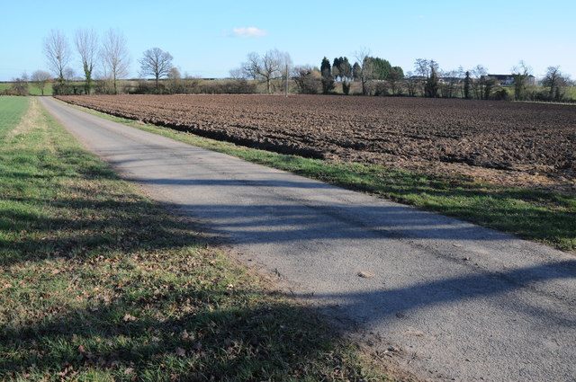
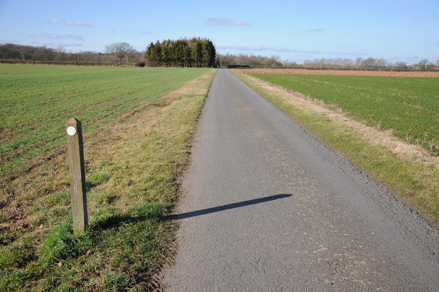
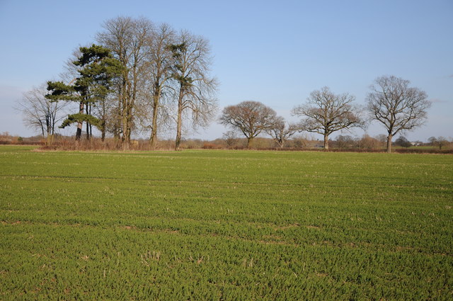
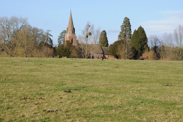
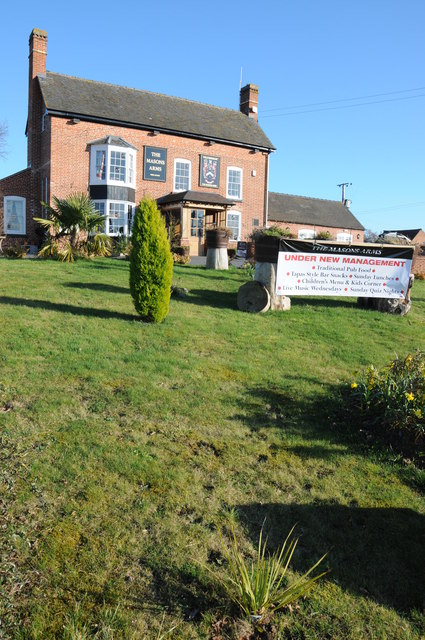
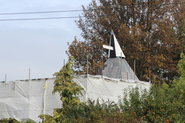
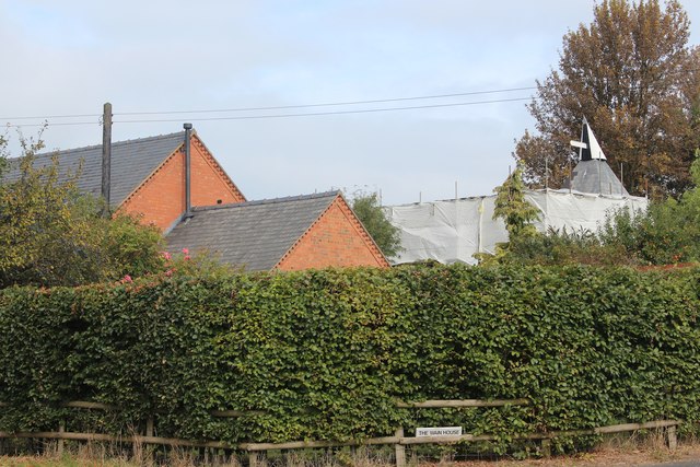
Images are sourced within 2km of 52.237/-2.313 or Grid Reference SO7859. Thanks to Geograph Open Source API. All images are credited.

Cob House Fisheries This is the nearly new Mayfly Cafe and reception area. The fisheries now boast various animals and walks to delight the visitor.
Cob House Fisheries
This is the nearly new Mayfly Cafe and reception area. The fisheries now boast various animals and walks to delight the visitor.
Cob House Fisheries - Robin On the edge of the fishing pond called Wyatts. Very often there are fishing competitions at the weekend and the public are kept out of this area. But not today - the lakes were largely frozen.
Cob House Fisheries - Robin
On the edge of the fishing pond called Wyatts. Very often there are fishing competitions at the weekend and the public are kept out of this area. But not today - the lakes were largely frozen.
Laurel Pool - Cob House Fisheries
Potential life saver - Cob House Fisheries This pool is called Pear and is a no fishing area.
Potential life saver - Cob House Fisheries
This pool is called Pear and is a no fishing area.
Ducks walk on water - Cob House Fisheries Well it is frozen! The fishing lake called Wyatts with 30 pegs.
Ducks walk on water - Cob House Fisheries
Well it is frozen! The fishing lake called Wyatts with 30 pegs.
Thirsty reindeer - Cob House Fisheries The position and direction are approximate because this development is not on the aerial photograph.
Thirsty reindeer - Cob House Fisheries
The position and direction are approximate because this development is not on the aerial photograph.
Who're you looking at? Cob House Fisheries Position and direction approximate. The Fisheries now have goats, Alpacas (this is one), Reindeer and Kune Kune pigs to delight the visitor. I'm no Peter Trimming though.
Who're you looking at? Cob House Fisheries
Position and direction approximate. The Fisheries now have goats, Alpacas (this is one), Reindeer and Kune Kune pigs to delight the visitor. I'm no Peter Trimming though.
Footpath to Greenstreet Farm Footpath through an arable field to Greenstreet Farm to the south-east of Wichenford.
Footpath to Greenstreet Farm
Footpath through an arable field to Greenstreet Farm to the south-east of Wichenford.
Track near Wichenford Court Track near Wichenford Court with Hill Farm visible in the background on the right.
Track near Wichenford Court
Track near Wichenford Court with Hill Farm visible in the background on the right.
Road to Hill Farm, Wichenford The post on the left indicating the route of the public footpath suggests it has been rerouted and now follows the drive rather than running parallel with the road for a short distance.
Road to Hill Farm, Wichenford
The post on the left indicating the route of the public footpath suggests it has been rerouted and now follows the drive rather than running parallel with the road for a short distance.
Trees near Kenswick Manor First impressions suggest the clump of trees on the left are on the site of a tumulus, I thought I could even see a standing stone.  A quick look at the OS map reveals nothing and then I look through my binoculars and realise what I think is a standing stone is the stump of a large felled dead tree.
Trees near Kenswick Manor
First impressions suggest the clump of trees on the left are on the site of a tumulus, I thought I could even see a standing stone. A quick look at the OS map reveals nothing and then I look through my binoculars and realise what I think is a standing stone is the stump of a large felled dead tree.
Barn at Wichenford Court
Wichenford church Wichenford church viewed from near Wichenford Court.
Wichenford church
Wichenford church viewed from near Wichenford Court.
The Masons Arms The Masons Arms on the B4204 to the east of Martley.
The Masons Arms
The Masons Arms on the B4204 to the east of Martley.
Oast House at Laugherne Farm, Martley Currently under scaffold.
Oast House at Laugherne Farm, Martley
Currently under scaffold.
Oast House at Laugherne Farm, Martley Seen whilst under scaffold.
Oast House at Laugherne Farm, Martley
Seen whilst under scaffold.
B4204 from Martley
B4204 from Martley
Wichenford Dovecote A National Trust Property that is always accessible. It was decidedly dusk when I visited. The little door at the bottom can be unchained to give access to the interior.
Wichenford Dovecote
A National Trust Property that is always accessible. It was decidedly dusk when I visited. The little door at the bottom can be unchained to give access to the interior.
Show me another place!

Wichenford Dovecote is located at Grid Ref: SO7859 (Lat: 52.237, Lng: -2.313)

Administrative County: Worcestershire

District: Malvern Hills

Police Authority: West Mercia

What 3 Words

///tangling.trend.refuse. Near Lower Broadheath, Worcestershire

Related Wikis

Wichenford

Wichenford is a village and civil parish (with Kenswick) in the Malvern Hills District in the county of Worcestershire, England. It lies 7 miles (11km...

Kenswick, Worcestershire

Kenswick is a village and civil parish (with Wichenford) in the Malvern Hills District in the county of Worcestershire, England. == External links... ==

The Chantry School

The Chantry School is a mixed gender secondary school with academy status located in Martley, Worcestershire, England. The school has about 700 students...

Martley

Martley is a village and civil parish in the Malvern Hills district of the English county of Worcestershire. It is approximately nine miles north-west...

Nearby Amenities

Located within 500m of 52.237,-2.313
Power: pole
Lat/Long: 52.2340733/-2.3089365
Power: pole
Lat/Long: 52.2347386/-2.3079684
Power: pole
Lat/Long: 52.233336/-2.3099985
Power: pole
Lat/Long: 52.2373211/-2.3062327
Power: pole
Lat/Long: 52.2353959/-2.3071715
Power: pole
Lat/Long: 52.2364045/-2.3066833
Power: pole
Lat/Long: 52.2369104/-2.3078858
Power: pole
Lat/Long: 52.2374443/-2.3082774
Power: pole
Lat/Long: 52.2376722/-2.3098837
Power: pole
Lat/Long: 52.2400982/-2.3097497
Power: pole
Lat/Long: 52.2409702/-2.310053
Power: pole
Lat/Long: 52.2394905/-2.3094842
Power: pole
Lat/Long: 52.2389961/-2.3092319
Power: pole
Lat/Long: 52.2379575/-2.3086639
Power: pole
Lat/Long: 52.2360259/-2.307344
Post Box
Collection Times: Mo-Fr 09:00; Sa 07:00
Post Box Type: lamp
Ref: WR6 107D
Royal Cypher: EIIR
Royal Cypher Wikidata: Q33102113
Lat/Long: 52.2373494/-2.3128487
Wichenford Court
Power: pole
Transformer: distribution
Voltage Primary: 11000
Lat/Long: 52.2368493/-2.3117906
Power: pole
Lat/Long: 52.2373864/-2.3105434
Power: pole
Lat/Long: 52.2353998/-2.3069774
Power: pole
Lat/Long: 52.2347648/-2.3072094
Wichenford Church
Power: pole
Transformer: distribution
Voltage Primary: 11000
Lat/Long: 52.2393961/-2.3115908
Keepers Cottage
Power: pole
Transformer: distribution
Voltage Primary: 11000
Lat/Long: 52.2359894/-2.3174702
Power: pole
Lat/Long: 52.2359574/-2.3186477
Power: pole
Lat/Long: 52.2359385/-2.3198278
The data included in this document is from www.openstreetmap.org. The data is made available under ODbL.

Have you been to Wichenford Dovecote?

Leave your review of Wichenford Dovecote below (or comments, questions and feedback).