Kedges Wood

Wood, Forest in Worcestershire Malvern Hills

England

Kedges Wood

Cob House Fisheries This is the nearly new Mayfly Cafe and reception area. The fisheries now boast various animals and walks to delight the visitor.
Cob House Fisheries Credit: Chris Allen

Kedges Wood is a picturesque woodland located in the county of Worcestershire, England. It covers an area of approximately 50 acres and is situated on the outskirts of the village of Kedges, nestled in the heart of the county's countryside. The wood is known for its diverse range of flora and fauna, making it a haven for nature enthusiasts and wildlife lovers.

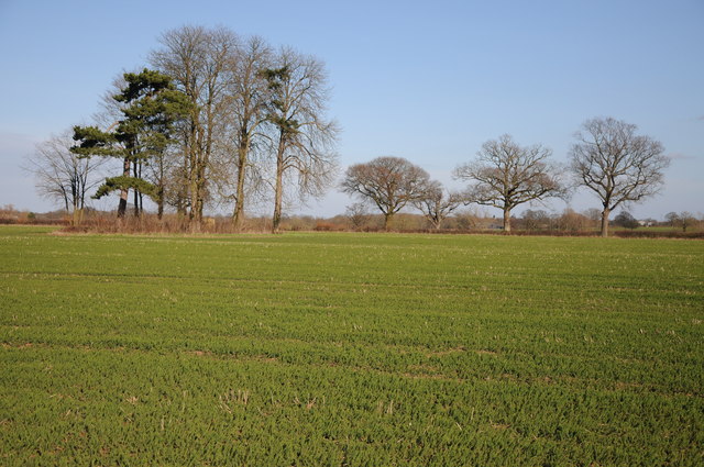
The woodland consists of a mixture of deciduous and coniferous trees, including oak, beech, and pine, creating a rich tapestry of colors throughout the seasons. The forest floor is adorned with a vibrant carpet of bluebells in the spring, while the autumn brings a stunning display of golden hues as the leaves change.

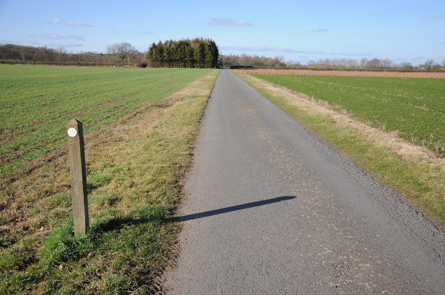
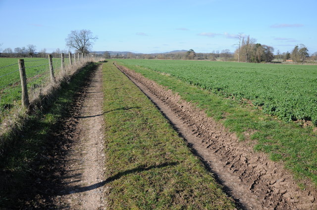
Kedges Wood is crisscrossed by a network of well-maintained footpaths and trails, making it easily accessible for visitors who wish to explore its beauty. These paths lead visitors through enchanting glades, peaceful meadows, and babbling brooks, offering a tranquil retreat from the hustle and bustle of everyday life.

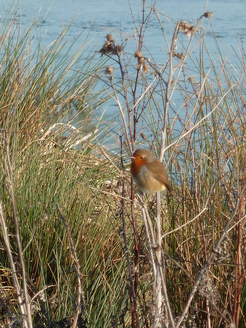
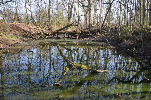
Wildlife thrives within the wood, with sightings of deer, badgers, and various species of birds being commonplace. It is also home to a diverse range of plant life, including rare orchids and ferns. The wood's rich biodiversity has led to its designation as a Site of Special Scientific Interest (SSSI), ensuring its protection and preservation for future generations to enjoy.

Kedges Wood is a true gem of Worcestershire, offering a serene escape into nature's embrace. Whether visitors seek a peaceful walk, wildlife spotting, or simply a chance to reconnect with the great outdoors, this woodland provides a perfect setting for all.

If you have any feedback on the listing, please let us know in the comments section below.

Kedges Wood Images

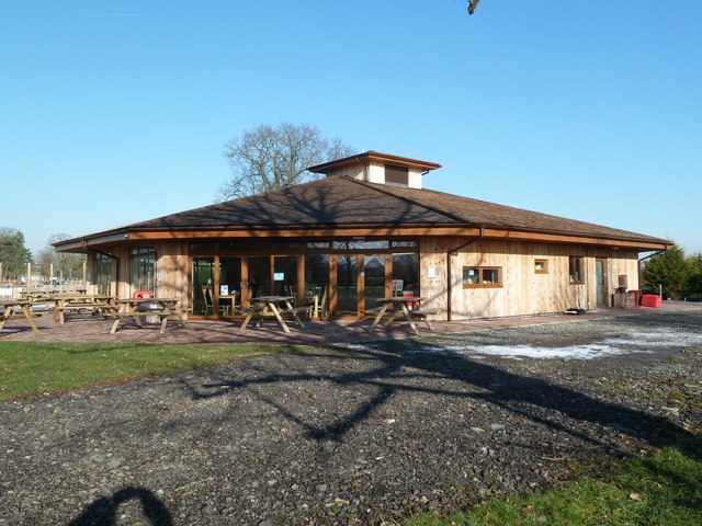
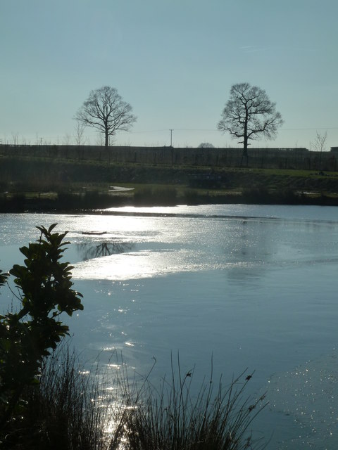
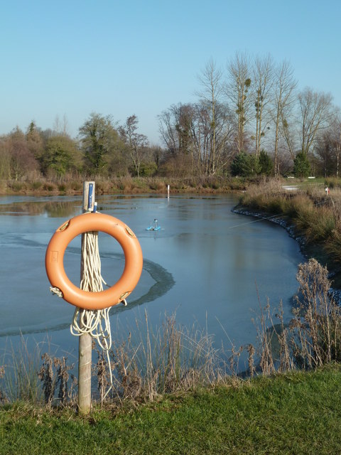
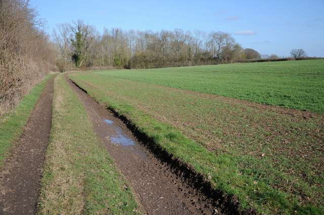
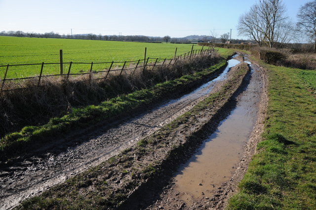
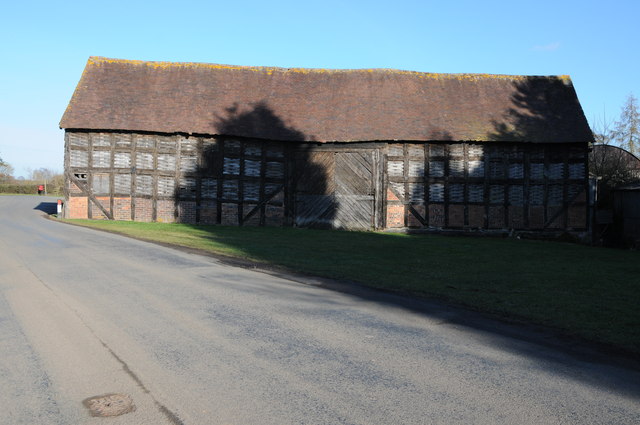
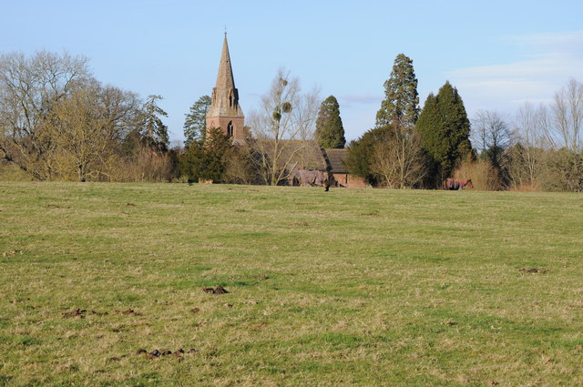
Images are sourced within 2km of 52.229126/-2.3162734 or Grid Reference SO7859. Thanks to Geograph Open Source API. All images are credited.

Cob House Fisheries This is the nearly new Mayfly Cafe and reception area. The fisheries now boast various animals and walks to delight the visitor.
Cob House Fisheries
This is the nearly new Mayfly Cafe and reception area. The fisheries now boast various animals and walks to delight the visitor.
Cob House Fisheries - Robin On the edge of the fishing pond called Wyatts. Very often there are fishing competitions at the weekend and the public are kept out of this area. But not today - the lakes were largely frozen.
Cob House Fisheries - Robin
On the edge of the fishing pond called Wyatts. Very often there are fishing competitions at the weekend and the public are kept out of this area. But not today - the lakes were largely frozen.
Laurel Pool - Cob House Fisheries
Potential life saver - Cob House Fisheries This pool is called Pear and is a no fishing area.
Potential life saver - Cob House Fisheries
This pool is called Pear and is a no fishing area.
Ducks walk on water - Cob House Fisheries Well it is frozen! The fishing lake called Wyatts with 30 pegs.
Ducks walk on water - Cob House Fisheries
Well it is frozen! The fishing lake called Wyatts with 30 pegs.
Thirsty reindeer - Cob House Fisheries The position and direction are approximate because this development is not on the aerial photograph.
Thirsty reindeer - Cob House Fisheries
The position and direction are approximate because this development is not on the aerial photograph.
Who're you looking at? Cob House Fisheries Position and direction approximate. The Fisheries now have goats, Alpacas (this is one), Reindeer and Kune Kune pigs to delight the visitor. I'm no Peter Trimming though.
Who're you looking at? Cob House Fisheries
Position and direction approximate. The Fisheries now have goats, Alpacas (this is one), Reindeer and Kune Kune pigs to delight the visitor. I'm no Peter Trimming though.
Footpath to Greenstreet Farm Footpath through an arable field to Greenstreet Farm to the south-east of Wichenford.
Footpath to Greenstreet Farm
Footpath through an arable field to Greenstreet Farm to the south-east of Wichenford.
Track near Wichenford Court Track near Wichenford Court with Hill Farm visible in the background on the right.
Track near Wichenford Court
Track near Wichenford Court with Hill Farm visible in the background on the right.
Road to Hill Farm, Wichenford The post on the left indicating the route of the public footpath suggests it has been rerouted and now follows the drive rather than running parallel with the road for a short distance.
Road to Hill Farm, Wichenford
The post on the left indicating the route of the public footpath suggests it has been rerouted and now follows the drive rather than running parallel with the road for a short distance.
Trees near Kenswick Manor First impressions suggest the clump of trees on the left are on the site of a tumulus, I thought I could even see a standing stone.  A quick look at the OS map reveals nothing and then I look through my binoculars and realise what I think is a standing stone is the stump of a large felled dead tree.
Trees near Kenswick Manor
First impressions suggest the clump of trees on the left are on the site of a tumulus, I thought I could even see a standing stone. A quick look at the OS map reveals nothing and then I look through my binoculars and realise what I think is a standing stone is the stump of a large felled dead tree.
Farm track and arable land Farm track to the south of Kenswick Manor.
Farm track and arable land
Farm track to the south of Kenswick Manor.
Pool in a wood Trees reflected in a pool in a small wood near Kenswick Manor.
Pool in a wood
Trees reflected in a pool in a small wood near Kenswick Manor.
Track and arable field Track and arable field near Kenswick Mill.
Track and arable field
Track and arable field near Kenswick Mill.
Track to Woodhall Farm Track to Woodhall Farm near Blackpool Coppice.
Track to Woodhall Farm
Track to Woodhall Farm near Blackpool Coppice.
Barn at Wichenford Court
Wichenford church Wichenford church viewed from near Wichenford Court.
Wichenford church
Wichenford church viewed from near Wichenford Court.
The Masons Arms The Masons Arms on the B4204 to the east of Martley.
The Masons Arms
The Masons Arms on the B4204 to the east of Martley.
Show me another place!

Kedges Wood is located at Grid Ref: SO7859 (Lat: 52.229126, Lng: -2.3162734)

Administrative County: Worcestershire

District: Malvern Hills

Police Authority: West Mercia

What 3 Words

///impresses.harps.rich. Near Lower Broadheath, Worcestershire

Related Wikis

Kenswick, Worcestershire

Kenswick is a village and civil parish (with Wichenford) in the Malvern Hills District in the county of Worcestershire, England. == External links... ==

Wichenford

Wichenford is a village and civil parish (with Kenswick) in the Malvern Hills District in the county of Worcestershire, England. It lies 7 miles (11km...

The Chantry School

The Chantry School is a mixed gender secondary school with academy status located in Martley, Worcestershire, England. The school has about 700 students...

Martley

Martley is a village and civil parish in the Malvern Hills district of the English county of Worcestershire. It is approximately nine miles north-west...

Nearby Amenities

Located within 500m of 52.229126,-2.3162734
Power: pole
Lat/Long: 52.2281429/-2.3111922
Power: pole
Lat/Long: 52.2289759/-2.3111869
Power: pole
Lat/Long: 52.2303985/-2.3111037
Power: pole
Lat/Long: 52.231529/-2.3110982
Power: pole
Lat/Long: 52.2263305/-2.3112202
Location Transition: yes
Power: pole
Lat/Long: 52.2278422/-2.3112514
Power: pole
Lat/Long: 52.228418/-2.3140517
Location Transition: yes
Power: pole
Lat/Long: 52.2281132/-2.3110221
Location Transition: yes
Power: pole
Lat/Long: 52.2273323/-2.3109361
Power: pole
Lat/Long: 52.2281779/-2.3120759
Location Transition: yes
Power: pole
Lat/Long: 52.2280178/-2.3112028
Power: pole
Lat/Long: 52.2285412/-2.3095321
Power: pole
Lat/Long: 52.2264547/-2.3113654
Location Transition: yes
Power: pole
Lat/Long: 52.2280557/-2.3165756
Location Transition: yes
Power: pole
Lat/Long: 52.2282414/-2.3184049
Power: pole
Lat/Long: 52.2281576/-2.3192686
Power: pole
Lat/Long: 52.2280672/-2.3201832
Power: pole
Lat/Long: 52.2281247/-2.3211783
Power: pole
Lat/Long: 52.2281641/-2.3221627
Power: pole
Lat/Long: 52.2281921/-2.3231497
The data included in this document is from www.openstreetmap.org. The data is made available under ODbL.

Have you been to Kedges Wood?

Leave your review of Kedges Wood below (or comments, questions and feedback).