Ullswater
Heritage Site in Cumberland Eden
England
Ullswater

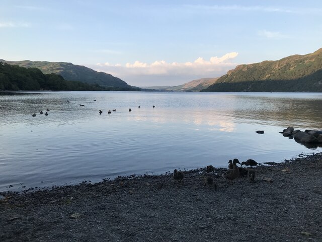
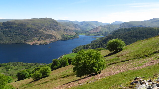
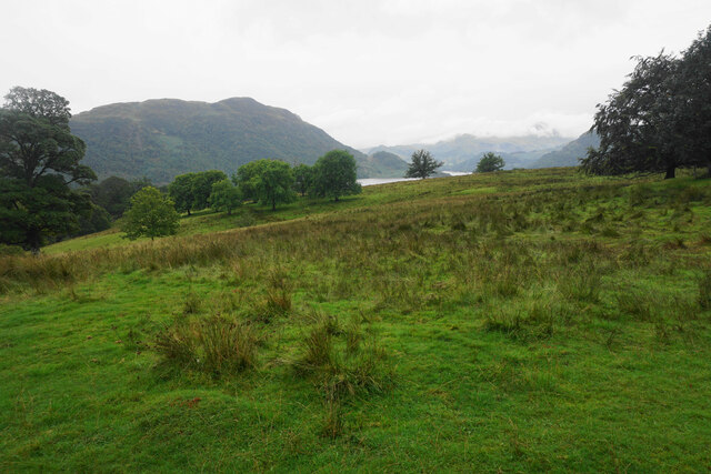
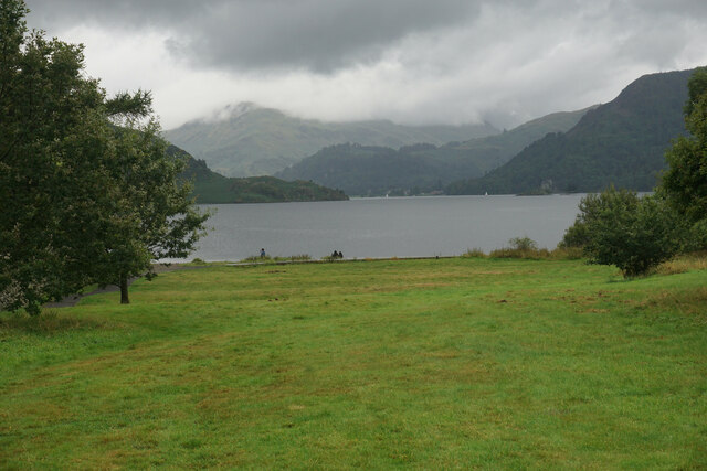
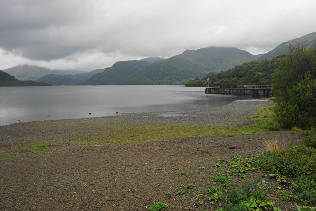
Ullswater, located in the historic county of Cumberland in northwest England, is a picturesque lake and surrounding area that boasts a rich heritage and is renowned for its outstanding natural beauty. As one of the largest lakes in the Lake District National Park, Ullswater has become a popular tourist destination and a designated UNESCO World Heritage Site.
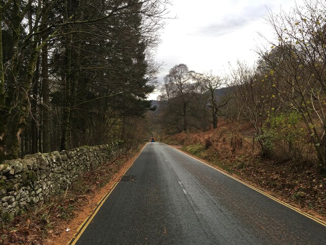
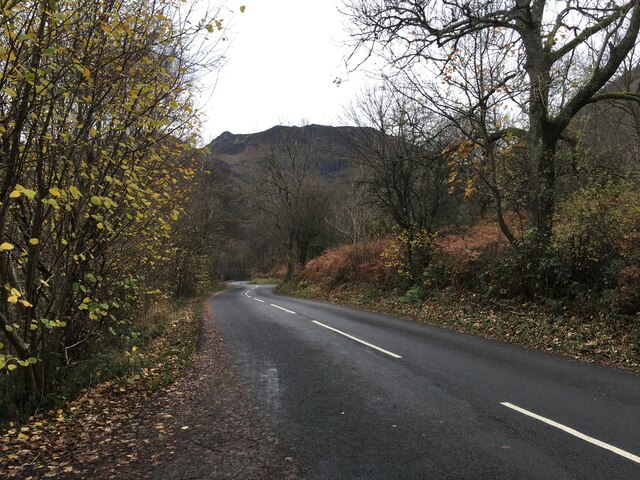
Spanning approximately nine miles in length, Ullswater is nestled amidst the stunning fells and mountains of the Lake District, offering visitors breathtaking panoramic views. The lake is fed by numerous streams and is surrounded by picturesque villages, such as Glenridding and Pooley Bridge, which provide access to various recreational activities and amenities.
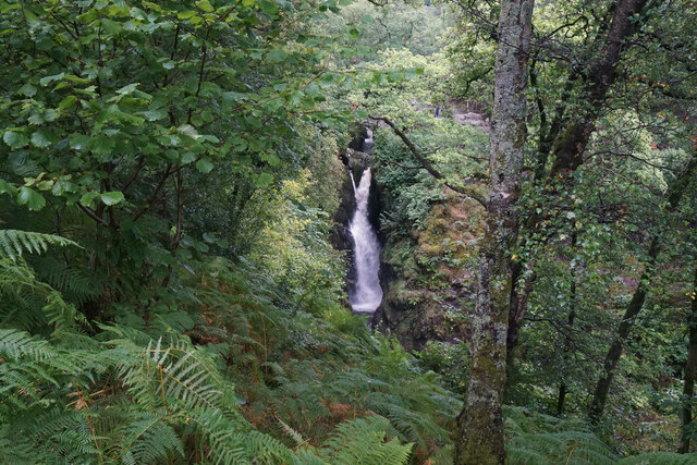
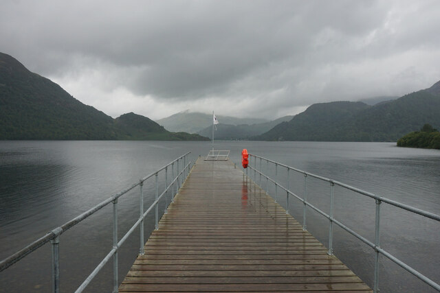
The area surrounding Ullswater is steeped in history, with evidence of human settlement dating back to prehistoric times. The region has been inhabited by various Celtic tribes, Romans, and Vikings, leaving behind a rich tapestry of historical sites and artifacts. For instance, the ancient stone circle of "The Cockpit" and the intriguing Ullswater Steamers, which have been operating since 1859, are just a couple of the many historical attractions that can be explored in the area.
Ullswater is also a haven for outdoor enthusiasts, offering a wide range of activities such as hiking, sailing, kayaking, and fishing. The surrounding landscape provides a diverse range of walking trails, including the renowned Ullswater Way, which encircles the lake and offers stunning views at every turn.
Overall, Ullswater in Cumberland is a captivating heritage site that seamlessly blends natural beauty and historical significance, offering visitors a unique and memorable experience amidst the enchanting landscape of the Lake District.
If you have any feedback on the listing, please let us know in the comments section below.
Ullswater Images
Images are sourced within 2km of 54.572/-2.93 or Grid Reference NY3920. Thanks to Geograph Open Source API. All images are credited.


Ullswater is located at Grid Ref: NY3920 (Lat: 54.572, Lng: -2.93)
Administrative County: Cumbria
District: Eden
Police Authority: Cumbria
What 3 Words
///strictly.light.digesting. Near Keswick, Cumbria
Nearby Locations
Related Wikis

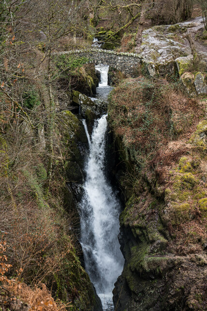
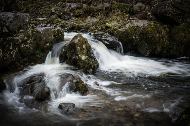
Aira Force
Aira Force is a waterfall in the English Lake District, in the civil parish of Matterdale and the county of Cumbria. The site of the waterfall is owned...
Dockray, Eden
Dockray (traditionally Dockwray) is a village in the civil parish of Matterdale, in the Eden district, in the county of Cumbria, England. In the 2011 census...

Gowbarrow Fell
Gowbarrow Fell (Windy hill) is a low fell in the English Lake District. It is an outlier of the Eastern Fells, standing to the north of Ullswater, bounded...

Ulcat Row
Ulcat Row (also Ulcatrow) is a village in the civil parish of Matterdale, in the Eden district, in the county of Cumbria, England. In the 2011 census,...
Nearby Amenities
Located within 500m of 54.572,-2.93Have you been to Ullswater?
Leave your review of Ullswater below (or comments, questions and feedback).