Round How
Hill, Mountain in Cumberland Eden
England
Round How

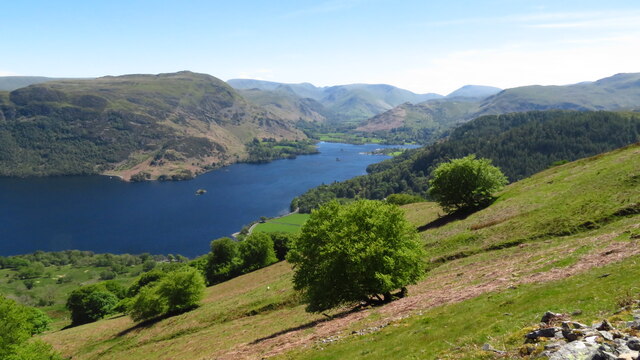
Round How is a prominent hill located in the county of Cumberland, England. Rising to an elevation of 481 meters (1,578 feet), it is a notable feature within the Cumbrian landscape. Situated in the western part of the Lake District National Park, it forms part of the fells that surround the picturesque Ennerdale Valley.
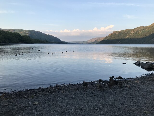
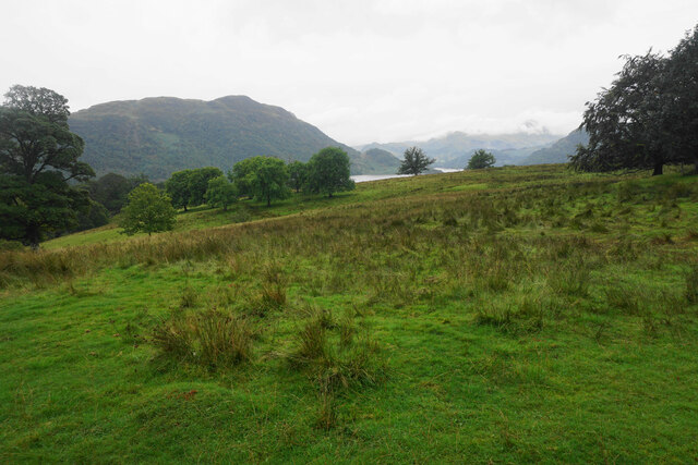
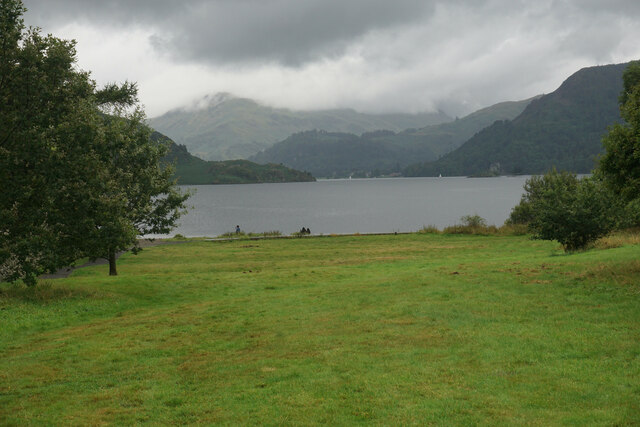
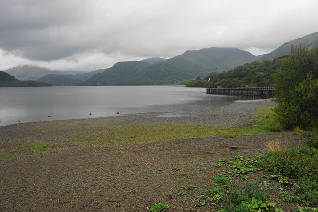
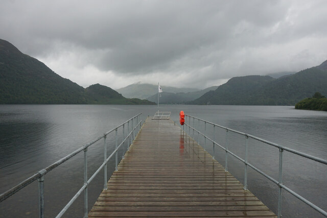
The hill offers breathtaking panoramic views of the surrounding countryside, including the nearby Ennerdale Water, which is the most westerly lake in the Lake District. The summit of Round How provides a vantage point to observe the rugged beauty of the region, with its rolling hills, dense forests, and tranquil waters.
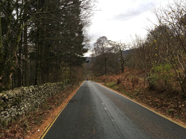
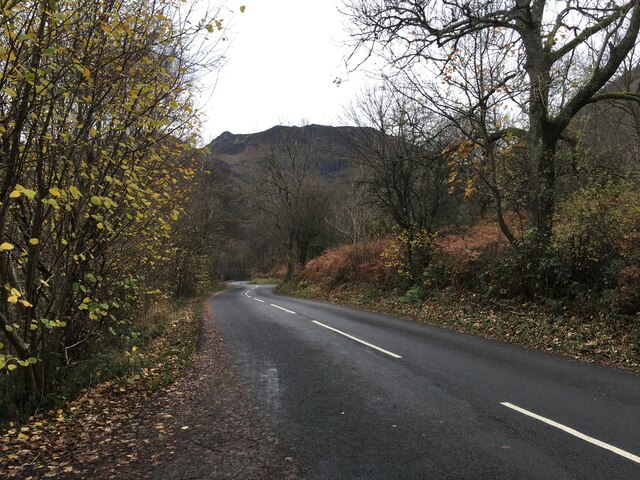
Round How is a popular destination for outdoor enthusiasts, hikers, and nature lovers. It is accessible via various footpaths that traverse the surrounding fells, with some routes offering challenging terrain for experienced walkers. The hill is also a notable landmark along the Coast to Coast Walk, a long-distance footpath that spans from St Bees to Robin Hood's Bay.
The area surrounding Round How is rich in biodiversity, supporting a variety of plant and animal species. The hill is home to heather moorland, grassland, and pockets of woodland, providing habitats for numerous bird species, including buzzards, ravens, and peregrine falcons. Rare alpine plants such as the Small Alpine Lady's Mantle can also be found on its slopes.
Round How, with its natural beauty and stunning vistas, offers visitors an opportunity to immerse themselves in the unspoiled wilderness of the Lake District, making it a cherished destination for both locals and tourists alike.
If you have any feedback on the listing, please let us know in the comments section below.
Round How Images
Images are sourced within 2km of 54.578885/-2.9423893 or Grid Reference NY3920. Thanks to Geograph Open Source API. All images are credited.


Round How is located at Grid Ref: NY3920 (Lat: 54.578885, Lng: -2.9423893)
Administrative County: Cumbria
District: Eden
Police Authority: Cumbria
What 3 Words
///chew.cubed.outfit. Near Keswick, Cumbria
Nearby Locations
Related Wikis

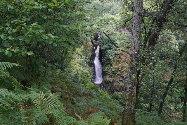
Aira Force
Aira Force is a waterfall in the English Lake District, in the civil parish of Matterdale and the county of Cumbria. The site of the waterfall is owned...
Dockray, Eden
Dockray (traditionally Dockwray) is a village in the civil parish of Matterdale, in the Eden district, in the county of Cumbria, England. In the 2011 census...

Gowbarrow Fell
Gowbarrow Fell (Windy hill) is a low fell in the English Lake District. It is an outlier of the Eastern Fells, standing to the north of Ullswater, bounded...

Ulcat Row
Ulcat Row (also Ulcatrow) is a village in the civil parish of Matterdale, in the Eden district, in the county of Cumbria, England. In the 2011 census,...
Nearby Amenities
Located within 500m of 54.578885,-2.9423893Have you been to Round How?
Leave your review of Round How below (or comments, questions and feedback).