Glencoyne Park
Downs, Moorland in Cumberland Eden
England
Glencoyne Park

Glencoyne Park is a picturesque and expansive natural area located in Cumberland, England. Situated amidst the breathtaking Cumberland Downs and Moorland, the park covers a vast expanse of land, providing visitors with a unique and serene outdoor experience.
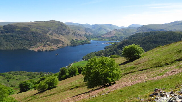
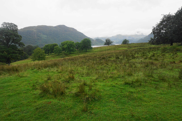
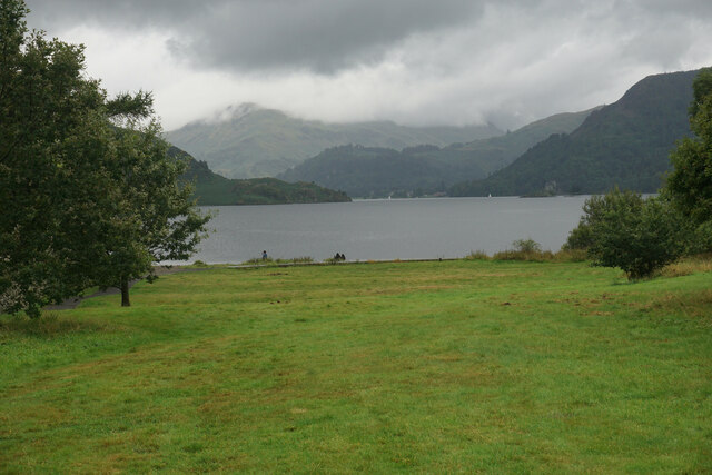
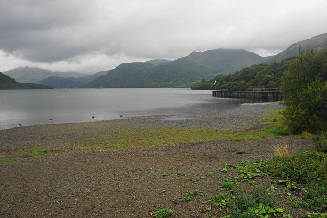
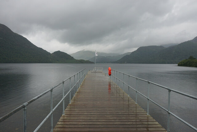
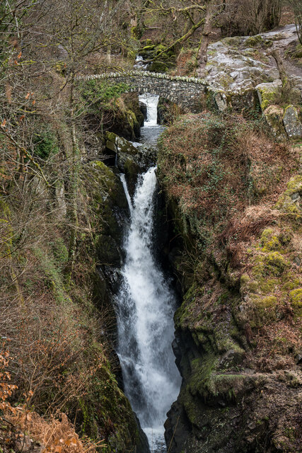
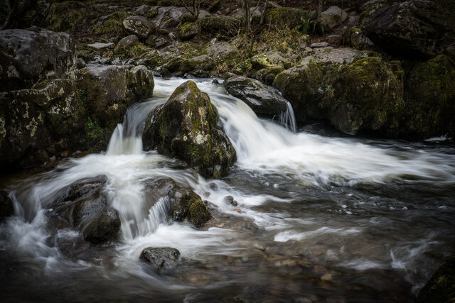
The park is renowned for its stunning landscapes, characterized by rolling hills, lush green meadows, and scattered woodlands. Glencoyne Park offers a diverse range of habitats, making it an ideal destination for nature enthusiasts and wildlife lovers. The moorland areas are home to a variety of bird species, including curlews, lapwings, and skylarks, while the woodlands provide shelter to an array of mammals such as red squirrels and deer.
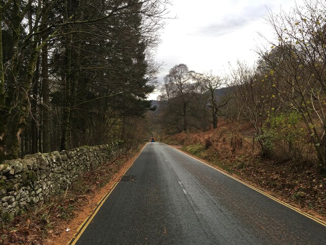
Visitors can explore numerous walking trails that wind through the park, allowing them to immerse themselves in the tranquility of the surroundings. The Cumberland Downs offer breathtaking panoramic views, making it an excellent spot for picnics or simply soaking in the beauty of nature.
Glencoyne Park is also rich in historical significance. The area is dotted with ancient ruins and archaeological sites, providing a glimpse into the region's past. Ruins of old farmhouses and stone circles can be found scattered throughout the park, giving visitors a sense of the area's historical and cultural heritage.
Overall, Glencoyne Park is a haven of natural beauty, offering visitors a chance to reconnect with nature, explore its diverse habitats, and discover the rich history of Cumberland. Whether it's for a leisurely stroll, wildlife observation, or a peaceful retreat, Glencoyne Park is a must-visit destination for anyone seeking solace in the midst of nature.
If you have any feedback on the listing, please let us know in the comments section below.
Glencoyne Park Images
Images are sourced within 2km of 54.580353/-2.9361571 or Grid Reference NY3920. Thanks to Geograph Open Source API. All images are credited.


Glencoyne Park is located at Grid Ref: NY3920 (Lat: 54.580353, Lng: -2.9361571)
Administrative County: Cumbria
District: Eden
Police Authority: Cumbria
What 3 Words
///ignites.panoramic.performs. Near Keswick, Cumbria
Nearby Locations
Related Wikis

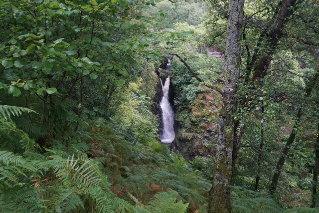
Aira Force
Aira Force is a waterfall in the English Lake District, in the civil parish of Matterdale and the county of Cumbria. The site of the waterfall is owned...
Dockray, Eden
Dockray (traditionally Dockwray) is a village in the civil parish of Matterdale, in the Eden district, in the county of Cumbria, England. In the 2011 census...

Gowbarrow Fell
Gowbarrow Fell (Windy hill) is a low fell in the English Lake District. It is an outlier of the Eastern Fells, standing to the north of Ullswater, bounded...

Ulcat Row
Ulcat Row (also Ulcatrow) is a village in the civil parish of Matterdale, in the Eden district, in the county of Cumbria, England. In the 2011 census,...
Nearby Amenities
Located within 500m of 54.580353,-2.9361571Have you been to Glencoyne Park?
Leave your review of Glencoyne Park below (or comments, questions and feedback).