Ulnaby Village

Heritage Site in Durham

England

Ulnaby Village

Pasture, Denton Some ridge and furrow is just about discernible here in this field to the south of the small village.
Pasture, Denton Credit: Andrew Smith

Ulnaby Village is a charming heritage site located in County Durham, England. Situated in the Teesdale district, this picturesque village is steeped in history and offers a glimpse into the past. With its well-preserved medieval layout and traditional stone buildings, Ulnaby Village provides visitors with an authentic experience of rural life in the region.

The village is renowned for its historic significance, dating back to the 12th century. It was originally a medieval farming community, and many of the original features and structures still remain intact. One of the highlights of Ulnaby Village is the Ulnaby Hall, a grand manor house constructed in the 17th century. The hall boasts stunning architecture and beautiful gardens, which are open to the public during certain times of the year.

Another notable feature of Ulnaby Village is its ancient church, St. Lawrence's Church. This Norman church is known for its beautiful stained glass windows and intricate stone carvings. Inside, visitors can explore the well-preserved interior, which showcases the village's rich religious heritage.

Ulnaby Village is also surrounded by picturesque countryside, offering visitors the opportunity to enjoy scenic walks and take in the natural beauty of the area. The village is located near the River Tees, providing a tranquil setting for outdoor enthusiasts.

Overall, Ulnaby Village is a must-visit destination for history buffs and those seeking a peaceful retreat in the heart of Durham. With its historic buildings, charming atmosphere, and stunning surroundings, Ulnaby Village offers a unique glimpse into the region's heritage.

If you have any feedback on the listing, please let us know in the comments section below.

Ulnaby Village Images

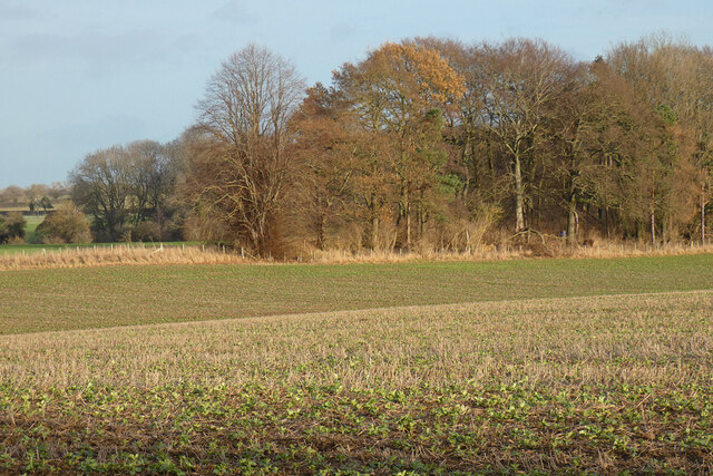
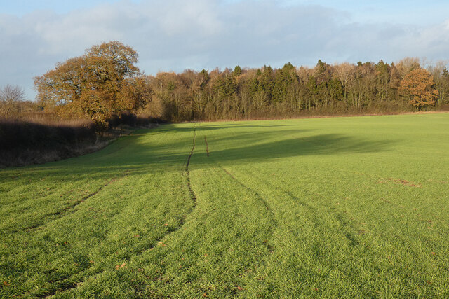
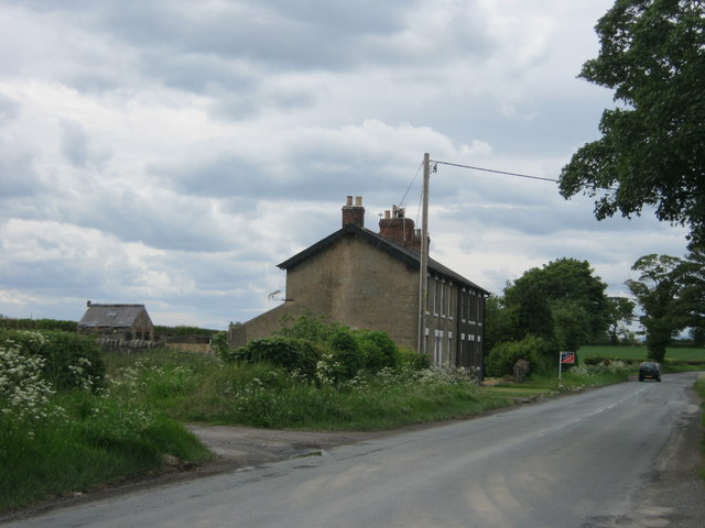
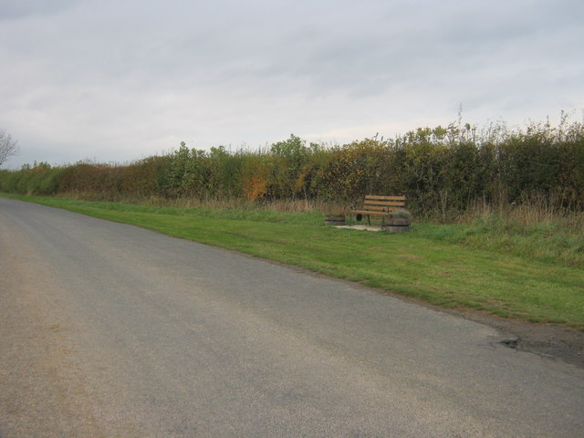
Images are sourced within 2km of 54.552/-1.652 or Grid Reference NZ2217. Thanks to Geograph Open Source API. All images are credited.

Pasture, Denton Some ridge and furrow is just about discernible here in this field to the south of the small village.
Pasture, Denton
Some ridge and furrow is just about discernible here in this field to the south of the small village.
Farmland, Denton Arable fields viewed from the footpath north of High Carlbury.
Farmland, Denton
Arable fields viewed from the footpath north of High Carlbury.
Farmland, Walworth A crop of beans growing amongst stubble beside the footpath between Ulnaby and Walworth.
Farmland, Walworth
A crop of beans growing amongst stubble beside the footpath between Ulnaby and Walworth.
Farmland, Walworth An arable field crossed by a footpath to the east of Low Walworth.
Farmland, Walworth
An arable field crossed by a footpath to the east of Low Walworth.
Ploughed field adjacent to Ulnaby Lane Ulnaby Lane is to the left of the hedge, heading north approaching Ulnaby Hall close to which there's the site of a medieval village.
Ploughed field adjacent to Ulnaby Lane
Ulnaby Lane is to the left of the hedge, heading north approaching Ulnaby Hall close to which there's the site of a medieval village.
Ulnaby Lane heading north Ulnaby Lane just outside the small village of High Coniscliffe close to Darlington.
Ulnaby Lane heading north
Ulnaby Lane just outside the small village of High Coniscliffe close to Darlington.
Thornton Hall Cottages Staindrop Road Darlington
Road to Denton
Road to Denton
Kilnfield Plantation Denton
Junction on Staindrop Road Darlington
Houghton Lane entering Denton from the north
Roadside seat just south east of Walworth
Ulnaby Lane with minor road to the west
Carlbury Crossing Cottage
Farm access road leading to High Carlbury The road to the farm at High Carlbury leaves the B6275 to the east.
Farm access road leading to High Carlbury
The road to the farm at High Carlbury leaves the B6275 to the east.
Field east of B6275 The field lies to the east of the B6275, north of the village of Piercebridge.
Field east of B6275
The field lies to the east of the B6275, north of the village of Piercebridge.
The entrance to Sam Turners Garden Centre
The entrance to High Carlbury Farm
Show me another place!

Ulnaby Village is located at Grid Ref: NZ2217 (Lat: 54.552, Lng: -1.652)

What 3 Words

///apprehend.jump.audio. Near Walworth, Co. Durham

Nearby Locations

Ulnaby Village

Related Wikis

Ulnaby

Ulnaby is an abandoned village and scheduled ancient monument in the grounds of Ulnaby Hall Farm, near High Coniscliffe, County Durham, England. The toft...
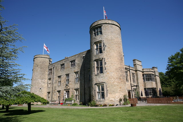
Walworth Castle

Walworth Castle is a castle of 11th-century origins, situated at Walworth, near Darlington, County Durham, England. It is a Grade 1 listed building. It...

Thornton Hall, High Coniscliffe

Thornton Hall is a privately owned 16th century manor house (now a farmhouse) at High Coniscliffe, near Darlington, County Durham. It is a Grade I listed...

Denton, County Durham

Denton is a village in the borough of Darlington and the ceremonial county of County Durham, England. The population of Denton taken at the 2011 Census...

Nearby Amenities

Located within 500m of 54.552,-1.652
Deserted medieval village of Ulnaby
HE Ref: 1008972
Archaeological Site: settlement
Designation: scheduled_monument
Historic: archaeological_site
Wikidata: Q17646943
Wikipedia: en:Ulnaby
Lat/Long: 54.5497843/-1.6504651
Shop: farm
Lat/Long: 54.5494063/-1.6521013
Cafe
Fhrs Id: 232843
Outdoor Seating: yes
Lat/Long: 54.5494312/-1.6519243
The data included in this document is from www.openstreetmap.org. The data is made available under ODbL.

Have you been to Ulnaby Village?

Leave your review of Ulnaby Village below (or comments, questions and feedback).