Teampull Pheadair

Heritage Site in Ross-shire

Scotland

Teampull Pheadair

Cnoc Còrr & Tràigh Chumail The northwest coast of Nis, Isle of Lewis.
Cnoc Còrr & Tràigh Chumail Credit: Alan Reid

Teampull Pheadair, also known as St. Peter's Church, is a historic site located in the region of Ross-shire, Scotland. This heritage site holds great significance as it is one of the few surviving medieval churches in the area, dating back to the 16th century.

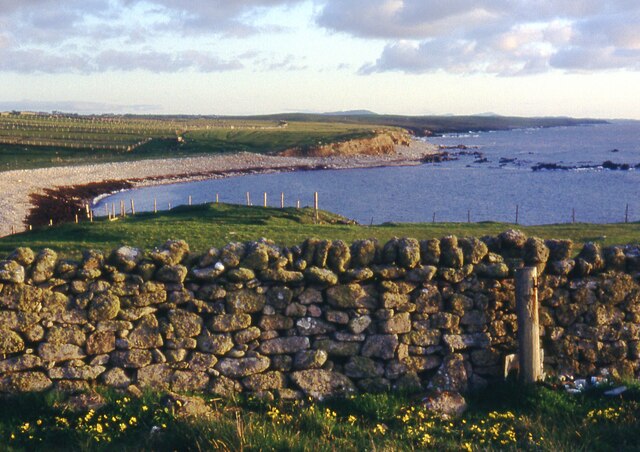
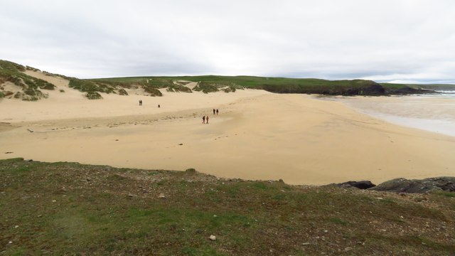
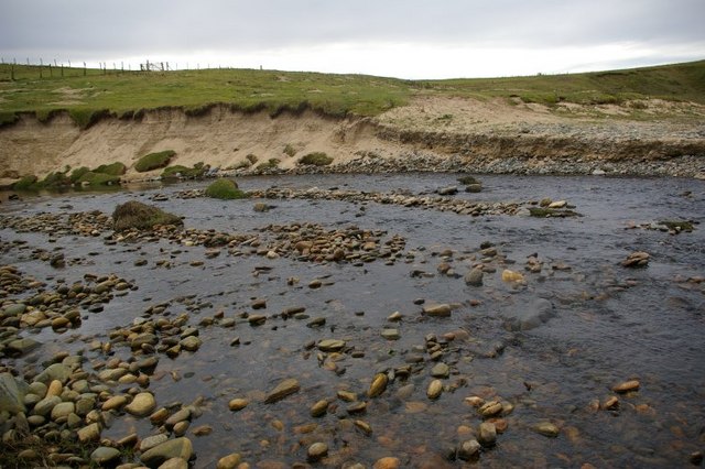
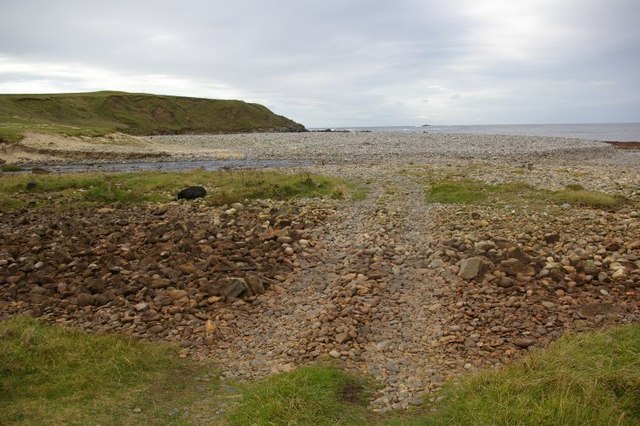
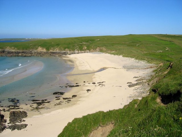
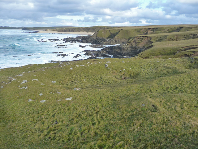
The church is situated on a small peninsula known as the Rubha Ghleannain, overlooking the stunning Loch Broom. Its strategic location offers visitors breathtaking views of the surrounding natural beauty, making it a popular tourist attraction.

Teampull Pheadair boasts a remarkable architectural style, showcasing a mix of Gothic and Romanesque influences. The exterior of the church is characterized by its sturdy stone walls, pointed arches, and a conspicuous bell tower that stands tall against the skyline. The interior is equally compelling, with its intricately carved stone features and a vaulted ceiling that adds to the grandeur of the space.

Despite centuries of weathering and deterioration, significant efforts have been made to preserve and restore the church. The ruins of Teampull Pheadair serve as a testament to the rich history and religious importance of the area. Visitors can explore the site and imagine the vibrant community that once thrived within its walls.

Teampull Pheadair is not only a heritage site but also a place of tranquility and reflection. Its serene surroundings invite visitors to pause and appreciate the historical significance and natural beauty that make this site an unforgettable destination in Ross-shire.

If you have any feedback on the listing, please let us know in the comments section below.

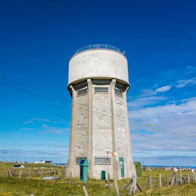
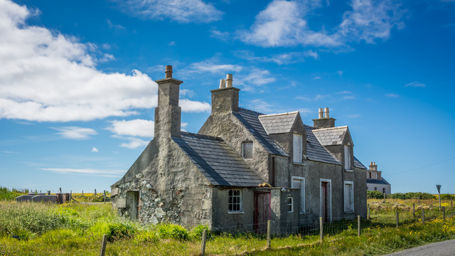
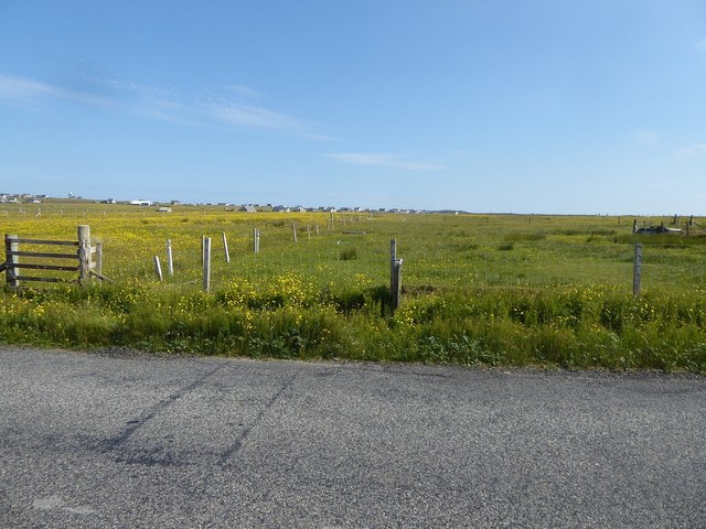
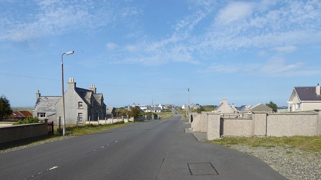
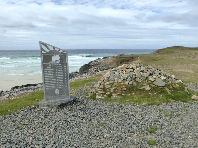
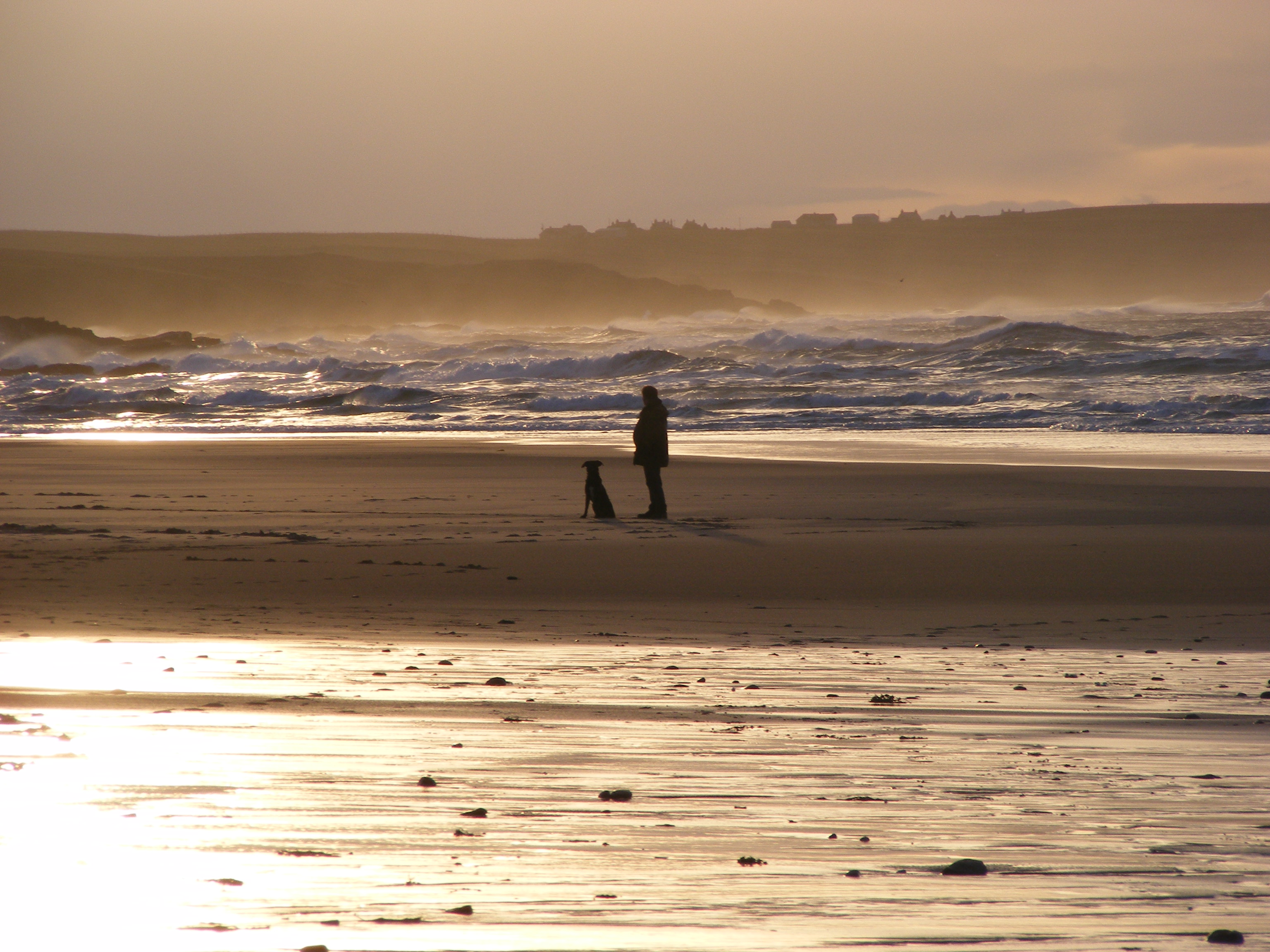
Teampull Pheadair Images

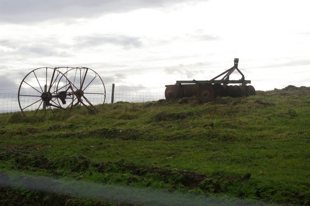
Images are sourced within 2km of 58.488/-6.282 or Grid Reference NB5063. Thanks to Geograph Open Source API. All images are credited.

Cnoc Còrr & Tràigh Chumail The northwest coast of Nis, Isle of Lewis.
Cnoc Còrr & Tràigh Chumail
The northwest coast of Nis, Isle of Lewis.
Cunndal Drownings Memorial, Eoropie This is a memorial to the men lost here on 5th March 1885, when the local fishing fleet was caught in a terrible gale. Two boats attempted to seek shelter at Cunndal, just north of this point. Both boats and twelve men – all from Eoropie - were lost.
Cunndal Drownings Memorial, Eoropie
This is a memorial to the men lost here on 5th March 1885, when the local fishing fleet was caught in a terrible gale. Two boats attempted to seek shelter at Cunndal, just north of this point. Both boats and twelve men – all from Eoropie - were lost.
Traigh Shanndaigh, Eoropie
View along footpath Footpath leading to the beach at North Dell.
View along footpath
Footpath leading to the beach at North Dell.
View across fields Taken from the footpath leading to the beach at North Dell.
View across fields
Taken from the footpath leading to the beach at North Dell.
The River Dell / Abhainn Dhail Taken from North Dell beach.
The River Dell / Abhainn Dhail
Taken from North Dell beach.
North Dell beach / Tràigh Dhail Looking out to sea, and to the neighbouring headlands.
North Dell beach / Tràigh Dhail
Looking out to sea, and to the neighbouring headlands.
Rusting agricultural machinery in field Quite an impressive sight against the lowering sky.
Rusting agricultural machinery in field
Quite an impressive sight against the lowering sky.
Tràigh Chrois
Tràigh Chrois
Dùn Mara The remains of the inner and outer walls of Dùn Mara are visible in the foreground. The coastal view is across Tràigh Chumail.
Dùn Mara
The remains of the inner and outer walls of Dùn Mara are visible in the foreground. The coastal view is across Tràigh Chumail.
Farm hut below Cros An old stone building with modern additions makes an attractive shed.
Farm hut below Cros
An old stone building with modern additions makes an attractive shed.
World War I mural On the gable end of the old school at Cros, which is now the premises of Comunn Eachdraidh Nis (the Ness Historical Society).
World War I mural
On the gable end of the old school at Cros, which is now the premises of Comunn Eachdraidh Nis (the Ness Historical Society).
Water tower at Swainbost
Derelict house at Habost
Looking from the A857 across fields towards scattered houses in Habost
The village of Cros, from outside the church
Cunndal Fishing Fleet Disaster memorial Overlooking the Eoropie Sands, a memorial to the twelve men from two fishing boats who were drowned on 5th March, 1885.
Cunndal Fishing Fleet Disaster memorial
Overlooking the Eoropie Sands, a memorial to the twelve men from two fishing boats who were drowned on 5th March, 1885.
Show me another place!

Teampull Pheadair is located at Grid Ref: NB5063 (Lat: 58.488, Lng: -6.282)

Unitary Authority: Na h-Eileanan an Iar

Police Authority: Highlands and Islands

What 3 Words

///workers.charge.jubilant. Near North Tolsta, Na h-Eileanan Siar

Related Wikis

Swainbost

Swainbost (Scottish Gaelic: Suaineabost) is a village on the Isle of Lewis in the district of Ness, in the Outer Hebrides, Scotland. The name Swainbost...

Cross, Lewis

Cross (Scottish Gaelic: Cros) is a township on the Isle of Lewis in the community of Ness, in the Outer Hebrides, Scotland. Cross is within the parish...

Eoropie

Eoropie (Scottish Gaelic: Eòrapaidh) is the most northerly village on the Isle of Lewis in the parish of Ness, in the Outer Hebrides, Scotland. Eoropie...

North Dell

North Dell (Scottish Gaelic: Dail bho Thuath) is a village on the Isle of Lewis in the community of Ness, in the Outer Hebrides, Scotland. North Dell is...

Nearby Amenities

Located within 500m of 58.488,-6.282
Barrier: cattle_grid
Lat/Long: 58.4885999/-6.2780959
Power: pole
Lat/Long: 58.4860838/-6.2745168
Cnoc a' Ghortain
Place: locality
Lat/Long: 58.4891907/-6.2756067
Teampall Pheadair
Historic: archaeological_site
Lat/Long: 58.4914785/-6.2773233
Cnoc Còrr
Place: locality
Lat/Long: 58.4862634/-6.2884813
The data included in this document is from www.openstreetmap.org. The data is made available under ODbL.

Have you been to Teampull Pheadair?

Leave your review of Teampull Pheadair below (or comments, questions and feedback).