Cnoc a' Ghortain

Hill, Mountain in Ross-shire

Scotland

Cnoc a' Ghortain

Cnoc Còrr & Tràigh Chumail The northwest coast of Nis, Isle of Lewis.
Cnoc Còrr & Tràigh Chumail Credit: Alan Reid

Cnoc a' Ghortain is a prominent hill located in Ross-shire, Scotland. With an elevation of approximately 555 meters (1,821 feet), it stands as a prominent feature in the stunning Highland landscape.

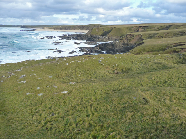
Situated near the village of Strathpeffer, Cnoc a' Ghortain offers breathtaking panoramic views of the surrounding countryside. Its position grants visitors an opportunity to marvel at the diverse and picturesque landscapes that encompass the area. From the summit, one can observe rolling green hills, deep valleys, and rugged mountains stretching into the distance.

The hill is accessible via well-defined paths, making it a popular destination for hikers and nature enthusiasts. The journey to the top is relatively moderate, offering a pleasant and rewarding experience for both experienced and novice walkers. Along the way, visitors may encounter an array of flora and fauna, including wildflowers, heather, and various bird species.

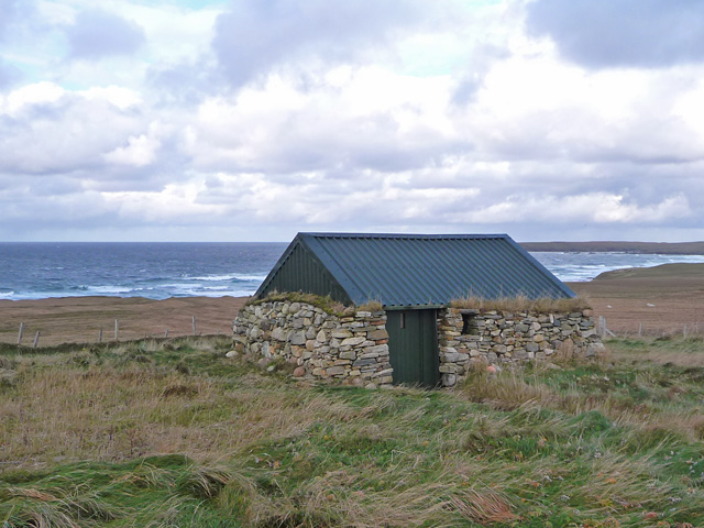
Cnoc a' Ghortain is not only a site of natural beauty but also holds historical significance. It is believed to have been inhabited by humans dating back to prehistoric times, with remnants of ancient settlements and burial sites discovered in the area.

Overall, Cnoc a' Ghortain offers a fantastic opportunity for outdoor exploration and appreciation of the Scottish Highlands. Its combination of stunning views, accessibility, and historical significance make it a must-visit destination for those seeking a taste of the natural and cultural wonders of Ross-shire.

If you have any feedback on the listing, please let us know in the comments section below.

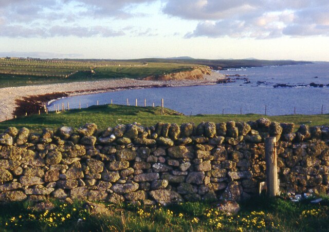
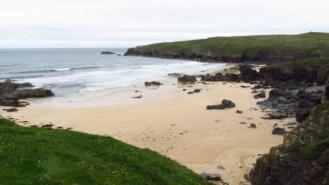
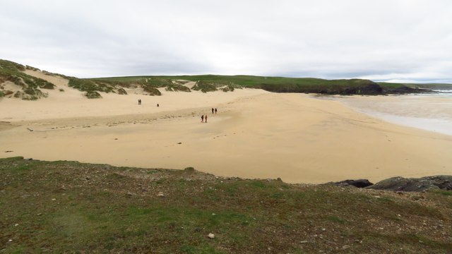
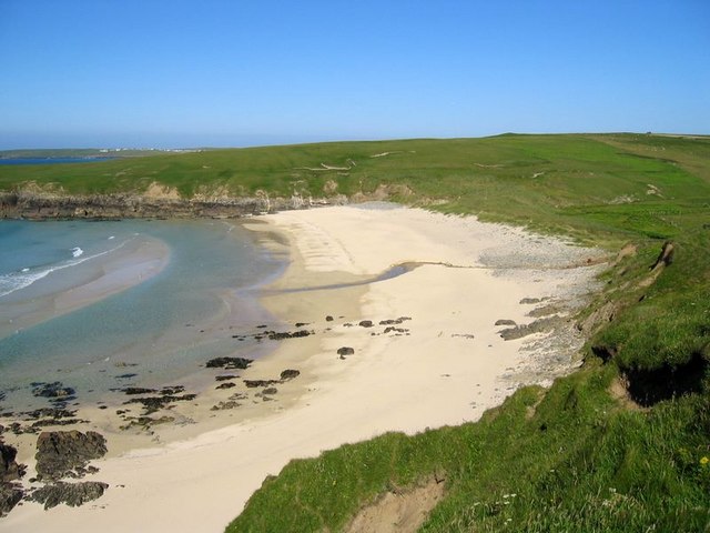
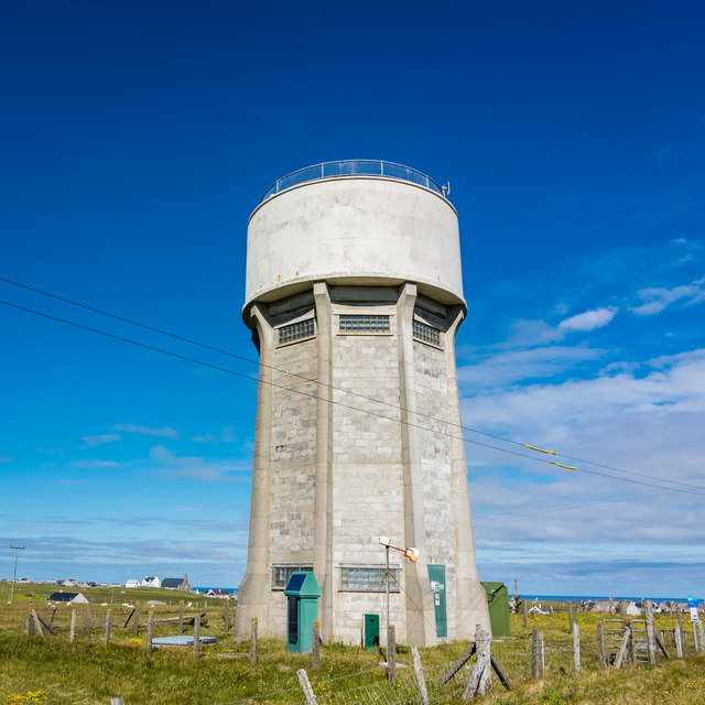
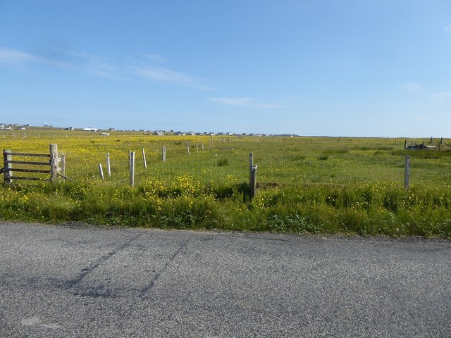
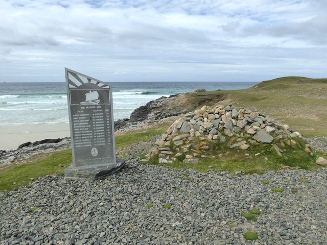
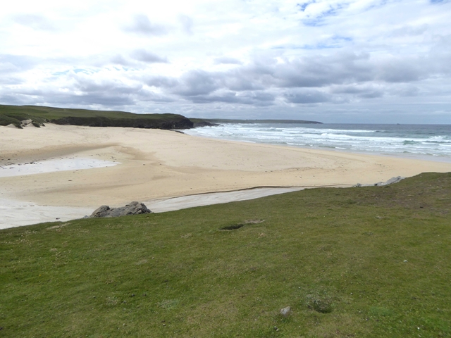
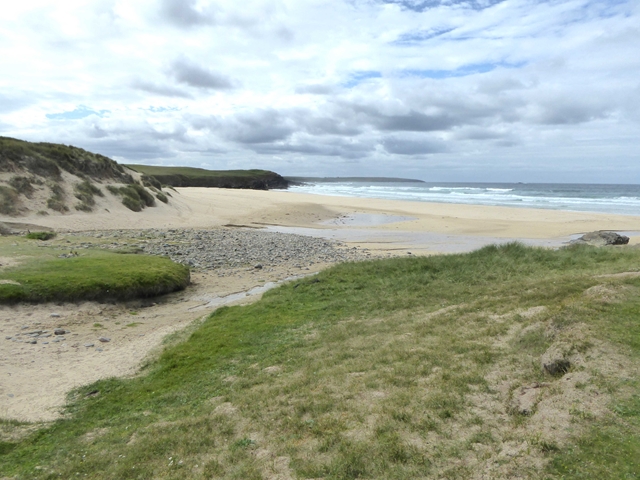
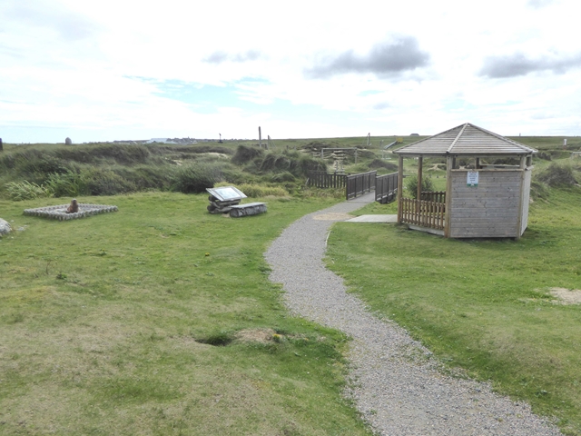
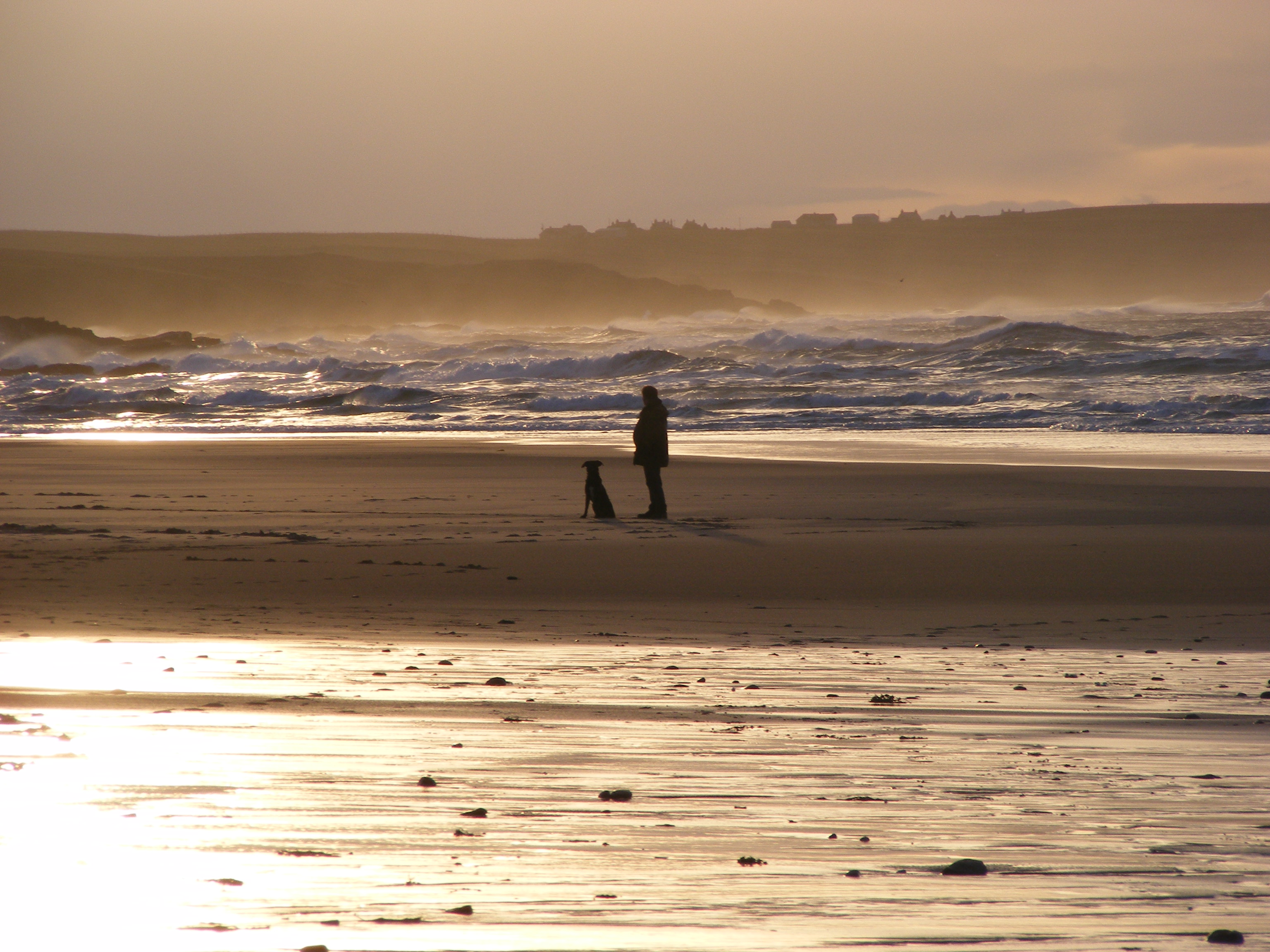
Cnoc a' Ghortain Images

Images are sourced within 2km of 58.489425/-6.2758823 or Grid Reference NB5063. Thanks to Geograph Open Source API. All images are credited.

Cnoc Còrr & Tràigh Chumail The northwest coast of Nis, Isle of Lewis.
Cnoc Còrr & Tràigh Chumail
The northwest coast of Nis, Isle of Lewis.
St Molveg's Church, Eoropie
Beach at Cunndal, Eoropie
Cunndal Drownings Memorial, Eoropie This is a memorial to the men lost here on 5th March 1885, when the local fishing fleet was caught in a terrible gale. Two boats attempted to seek shelter at Cunndal, just north of this point. Both boats and twelve men – all from Eoropie - were lost.
Cunndal Drownings Memorial, Eoropie
This is a memorial to the men lost here on 5th March 1885, when the local fishing fleet was caught in a terrible gale. Two boats attempted to seek shelter at Cunndal, just north of this point. Both boats and twelve men – all from Eoropie - were lost.
Traigh Shanndaigh, Eoropie
Tràigh Chrois
Tràigh Chrois
Dùn Mara The remains of the inner and outer walls of Dùn Mara are visible in the foreground. The coastal view is across Tràigh Chumail.
Dùn Mara
The remains of the inner and outer walls of Dùn Mara are visible in the foreground. The coastal view is across Tràigh Chumail.
Farm hut below Cros An old stone building with modern additions makes an attractive shed.
Farm hut below Cros
An old stone building with modern additions makes an attractive shed.
Eoropaidh View Common grazing land at Eoropaidh on the Isle of Lewis.
Eoropaidh View
Common grazing land at Eoropaidh on the Isle of Lewis.
Water tower at Swainbost
Derelict house at Habost
Looking from the A857 across fields towards scattered houses in Habost
The village of Cros, from outside the church
Cunndal Fishing Fleet Disaster memorial Overlooking the Eoropie Sands, a memorial to the twelve men from two fishing boats who were drowned on 5th March, 1885.
Cunndal Fishing Fleet Disaster memorial
Overlooking the Eoropie Sands, a memorial to the twelve men from two fishing boats who were drowned on 5th March, 1885.
The beach at Eoropie Bay
Eoropie Dunes Playpark Extensive and imaginative adventure play park for children.
Eoropie Dunes Playpark
Extensive and imaginative adventure play park for children.
Show me another place!

Cnoc a' Ghortain is located at Grid Ref: NB5063 (Lat: 58.489425, Lng: -6.2758823)

Unitary Authority: Na h-Eileanan an Iar

Police Authority: Highlands and Islands

What 3 Words

///overtime.accent.rejoined. Near North Tolsta, Na h-Eileanan Siar

Related Wikis

Swainbost

Swainbost (Scottish Gaelic: Suaineabost) is a village on the Isle of Lewis in the district of Ness, in the Outer Hebrides, Scotland. The name Swainbost...

Eoropie

Eoropie (Scottish Gaelic: Eòrapaidh) is the most northerly village on the Isle of Lewis in the parish of Ness, in the Outer Hebrides, Scotland. Eoropie...

Cross, Lewis

Cross (Scottish Gaelic: Cros) is a township on the Isle of Lewis in the community of Ness, in the Outer Hebrides, Scotland. Cross is within the parish...

Teampall Mholuaidh

St Moluag's church (Scottish Gaelic: Teampall Mholuaidh) is a church in the village of Eoropie in Ness in the Isle of Lewis in Scotland. It is one of the...

Nearby Amenities

Located within 500m of 58.489425,-6.2758823
Barrier: cattle_grid
Lat/Long: 58.4885999/-6.2780959
Power: pole
Lat/Long: 58.4860838/-6.2745168
Power: pole
Lat/Long: 58.4858089/-6.2738703
Power: pole
Lat/Long: 58.4852255/-6.2732434
Cnoc a' Ghortain
Place: locality
Lat/Long: 58.4891907/-6.2756067
Teampall Pheadair
Historic: archaeological_site
Lat/Long: 58.4914785/-6.2773233
The data included in this document is from www.openstreetmap.org. The data is made available under ODbL.

Have you been to Cnoc a' Ghortain?

Leave your review of Cnoc a' Ghortain below (or comments, questions and feedback).