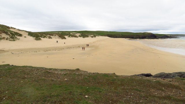
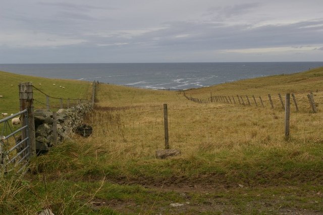
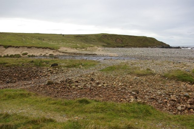
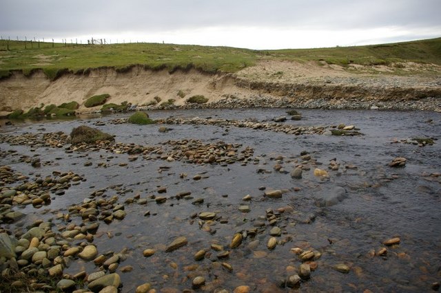
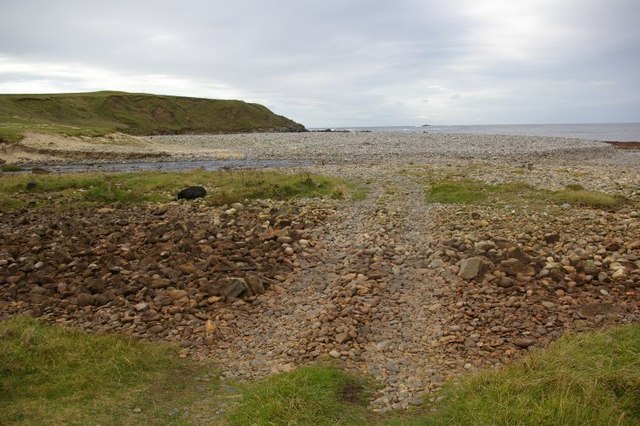
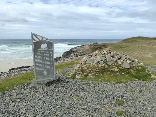
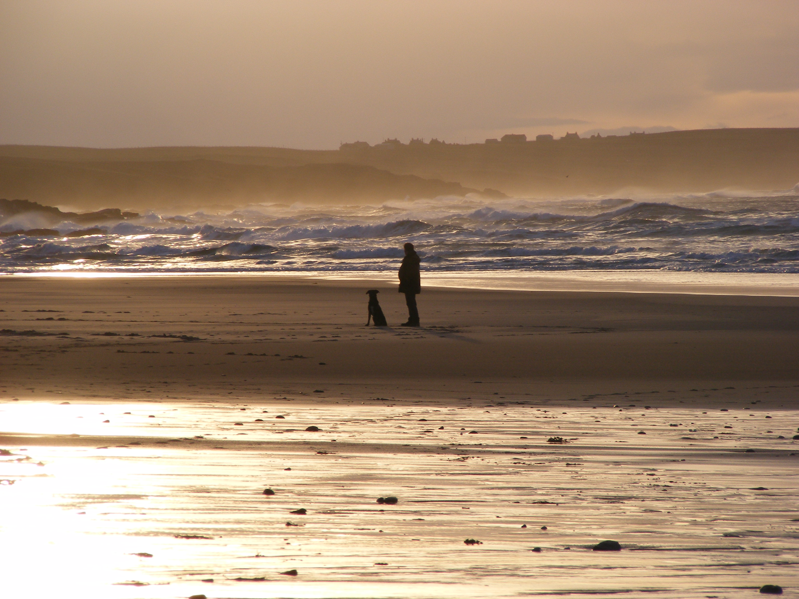
Tràigh Chumail

Beach in Ross-shire

Scotland

Tràigh Chumail

Croftland above Tràigh Dhail, Isle of Lewis The land is fenced into narrow strips running from behind the houses of Dail bho Dheas/South Dell to near the coast.
Croftland above Tràigh Dhail, Isle of Lewis Credit: Claire Pegrum

The requested URL returned error: 429 Too Many Requests

If you have any feedback on the listing, please let us know in the comments section below.

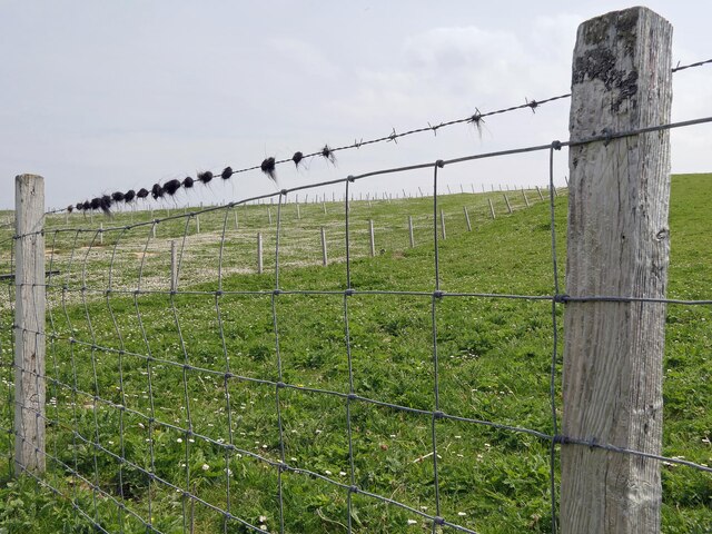
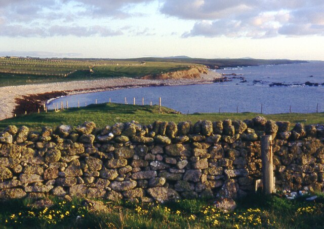
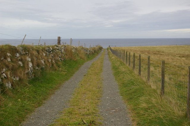
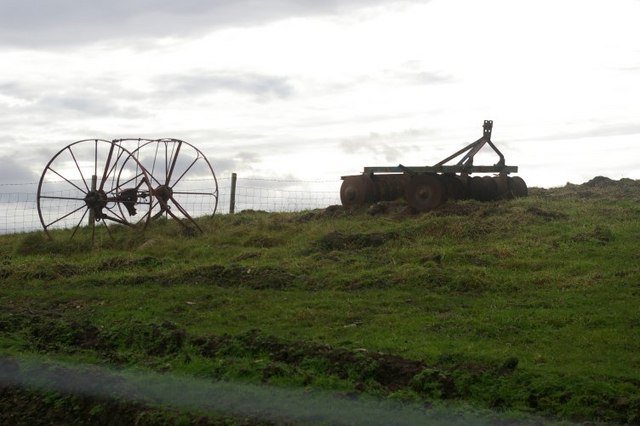
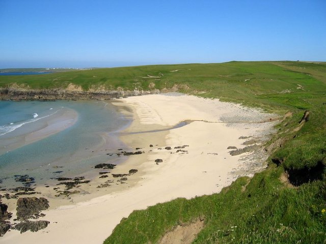
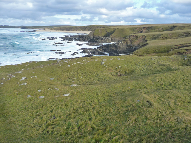
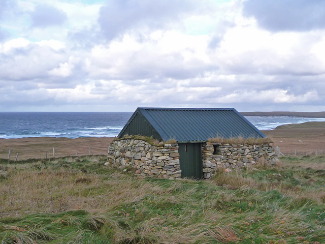
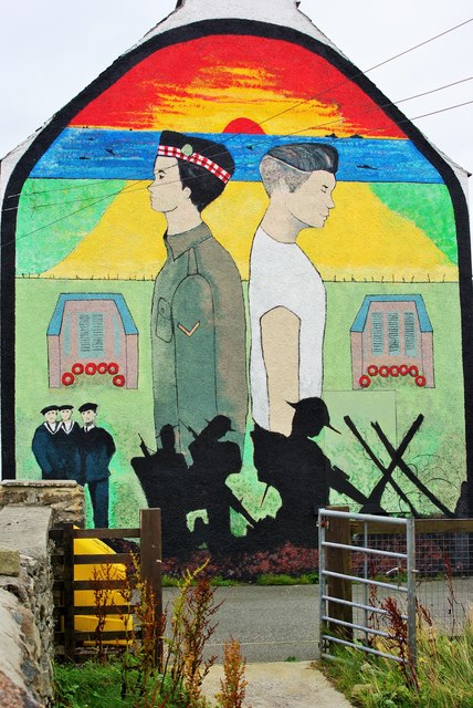
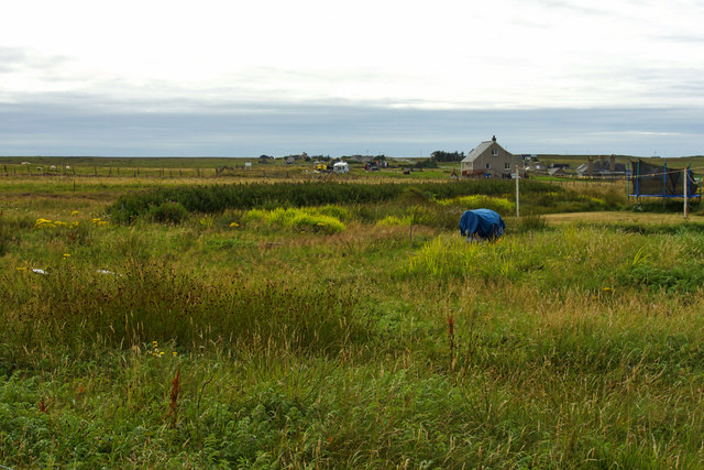
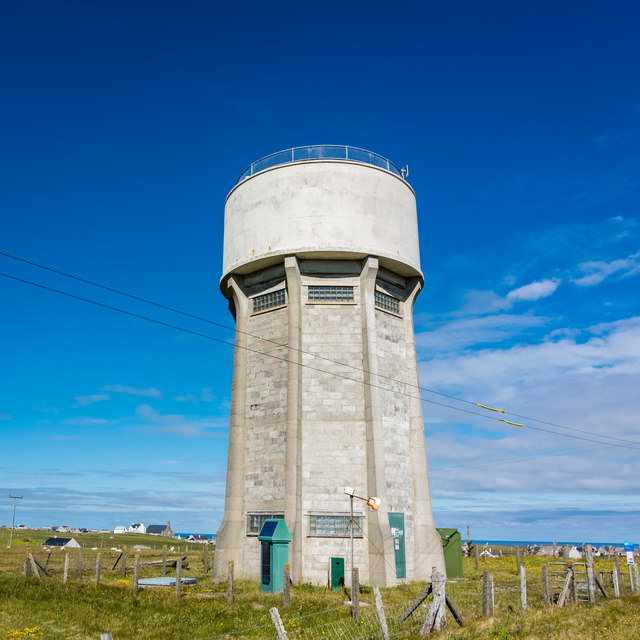
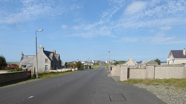
Tràigh Chumail Images

Images are sourced within 2km of 58.487579/-6.2896707 or Grid Reference NB5063. Thanks to Geograph Open Source API. All images are credited.

Croftland above Tràigh Dhail, Isle of Lewis The land is fenced into narrow strips running from behind the houses of Dail bho Dheas/South Dell to near the coast.
Croftland above Tràigh Dhail, Isle of Lewis
The land is fenced into narrow strips running from behind the houses of Dail bho Dheas/South Dell to near the coast.
Cnoc Còrr & Tràigh Chumail The northwest coast of Nis, Isle of Lewis.
Cnoc Còrr & Tràigh Chumail
The northwest coast of Nis, Isle of Lewis.
Cunndal Drownings Memorial, Eoropie This is a memorial to the men lost here on 5th March 1885, when the local fishing fleet was caught in a terrible gale. Two boats attempted to seek shelter at Cunndal, just north of this point. Both boats and twelve men – all from Eoropie - were lost.
Cunndal Drownings Memorial, Eoropie
This is a memorial to the men lost here on 5th March 1885, when the local fishing fleet was caught in a terrible gale. Two boats attempted to seek shelter at Cunndal, just north of this point. Both boats and twelve men – all from Eoropie - were lost.
Traigh Shanndaigh, Eoropie
View along footpath Footpath leading to the beach at North Dell.
View along footpath
Footpath leading to the beach at North Dell.
View across fields Taken from the footpath leading to the beach at North Dell.
View across fields
Taken from the footpath leading to the beach at North Dell.
View from North Dell beach / Sealladh bho Thràigh Dhail Looking across the River Dell towards the headlands beyond.  It looks from the map as if the River Dell ought to be fordable but it just wasn't quite manageable when we went so we had to retrace our steps.
View from North Dell beach / Sealladh bho Thràigh Dhail
Looking across the River Dell towards the headlands beyond. It looks from the map as if the River Dell ought to be fordable but it just wasn't quite manageable when we went so we had to retrace our steps.
The River Dell / Abhainn Dhail Taken from North Dell beach.
The River Dell / Abhainn Dhail
Taken from North Dell beach.
North Dell beach / Tràigh Dhail Looking out to sea, and to the neighbouring headlands.
North Dell beach / Tràigh Dhail
Looking out to sea, and to the neighbouring headlands.
Rusting agricultural machinery in field Quite an impressive sight against the lowering sky.
Rusting agricultural machinery in field
Quite an impressive sight against the lowering sky.
Tràigh Chrois
Tràigh Chrois
Dùn Mara The remains of the inner and outer walls of Dùn Mara are visible in the foreground. The coastal view is across Tràigh Chumail.
Dùn Mara
The remains of the inner and outer walls of Dùn Mara are visible in the foreground. The coastal view is across Tràigh Chumail.
Farm hut below Cros An old stone building with modern additions makes an attractive shed.
Farm hut below Cros
An old stone building with modern additions makes an attractive shed.
World War I mural On the gable end of the old school at Cros, which is now the premises of Comunn Eachdraidh Nis (the Ness Historical Society).
World War I mural
On the gable end of the old school at Cros, which is now the premises of Comunn Eachdraidh Nis (the Ness Historical Society).
Water tower at Swainbost
The village of Cros, from outside the church
Cunndal Fishing Fleet Disaster memorial Overlooking the Eoropie Sands, a memorial to the twelve men from two fishing boats who were drowned on 5th March, 1885.
Cunndal Fishing Fleet Disaster memorial
Overlooking the Eoropie Sands, a memorial to the twelve men from two fishing boats who were drowned on 5th March, 1885.
Show me another place!

Tràigh Chumail is located at Grid Ref: NB5063 (Lat: 58.487579, Lng: -6.2896707)

Unitary Authority: Na h-Eileanan an Iar

Police Authority: Highlands and Islands

What 3 Words

///drumbeat.bypassed.feel. Near North Tolsta, Na h-Eileanan Siar

Related Wikis

Swainbost

Swainbost (Scottish Gaelic: Suaineabost) is a village on the Isle of Lewis in the district of Ness, in the Outer Hebrides, Scotland. The name Swainbost...

Cross, Lewis

Cross (Scottish Gaelic: Cros) is a township on the Isle of Lewis in the community of Ness, in the Outer Hebrides, Scotland. Cross is within the parish...

North Dell

North Dell (Scottish Gaelic: Dail bho Thuath) is a village on the Isle of Lewis in the community of Ness, in the Outer Hebrides, Scotland. North Dell is...

Eoropie

Eoropie (Scottish Gaelic: Eòrapaidh) is the most northerly village on the Isle of Lewis in the parish of Ness, in the Outer Hebrides, Scotland. Eoropie...

Nearby Amenities

Located within 500m of 58.487579,-6.2896707
Cnoc Còrr
Place: locality
Lat/Long: 58.4862634/-6.2884813
The data included in this document is from www.openstreetmap.org. The data is made available under ODbL.

Have you been to Tràigh Chumail?

Leave your review of Tràigh Chumail below (or comments, questions and feedback).