Tràigh Shuaineboist
Beach in Ross-shire
Scotland
Tràigh Shuaineboist
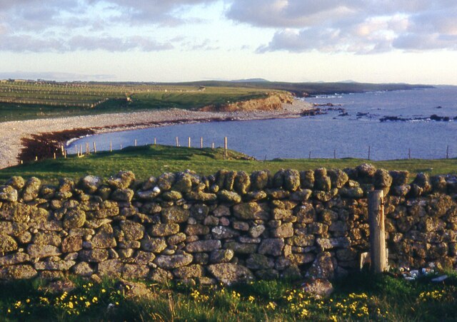
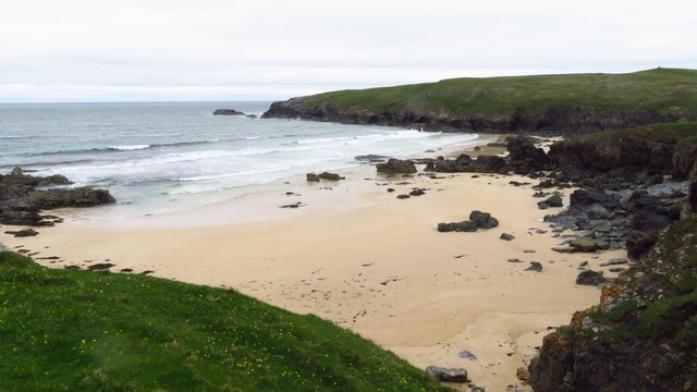
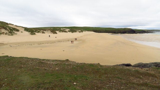
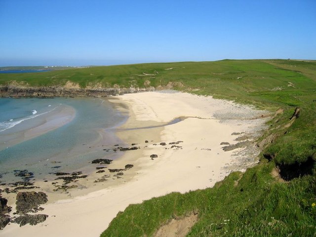
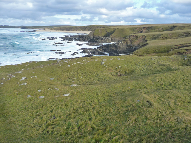
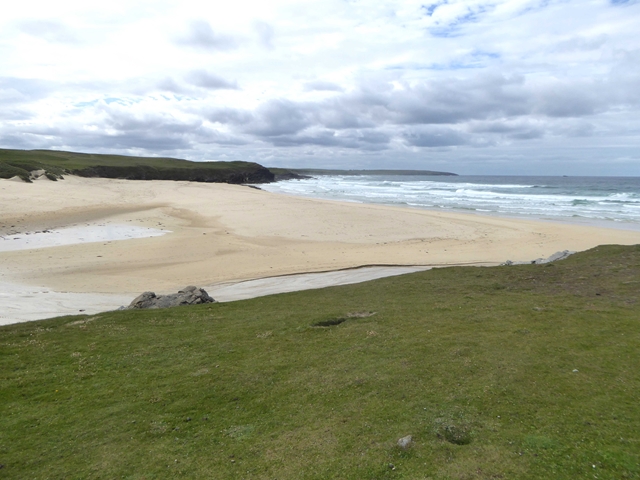
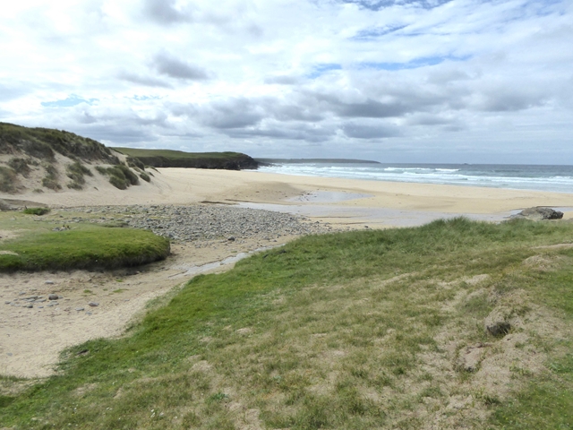
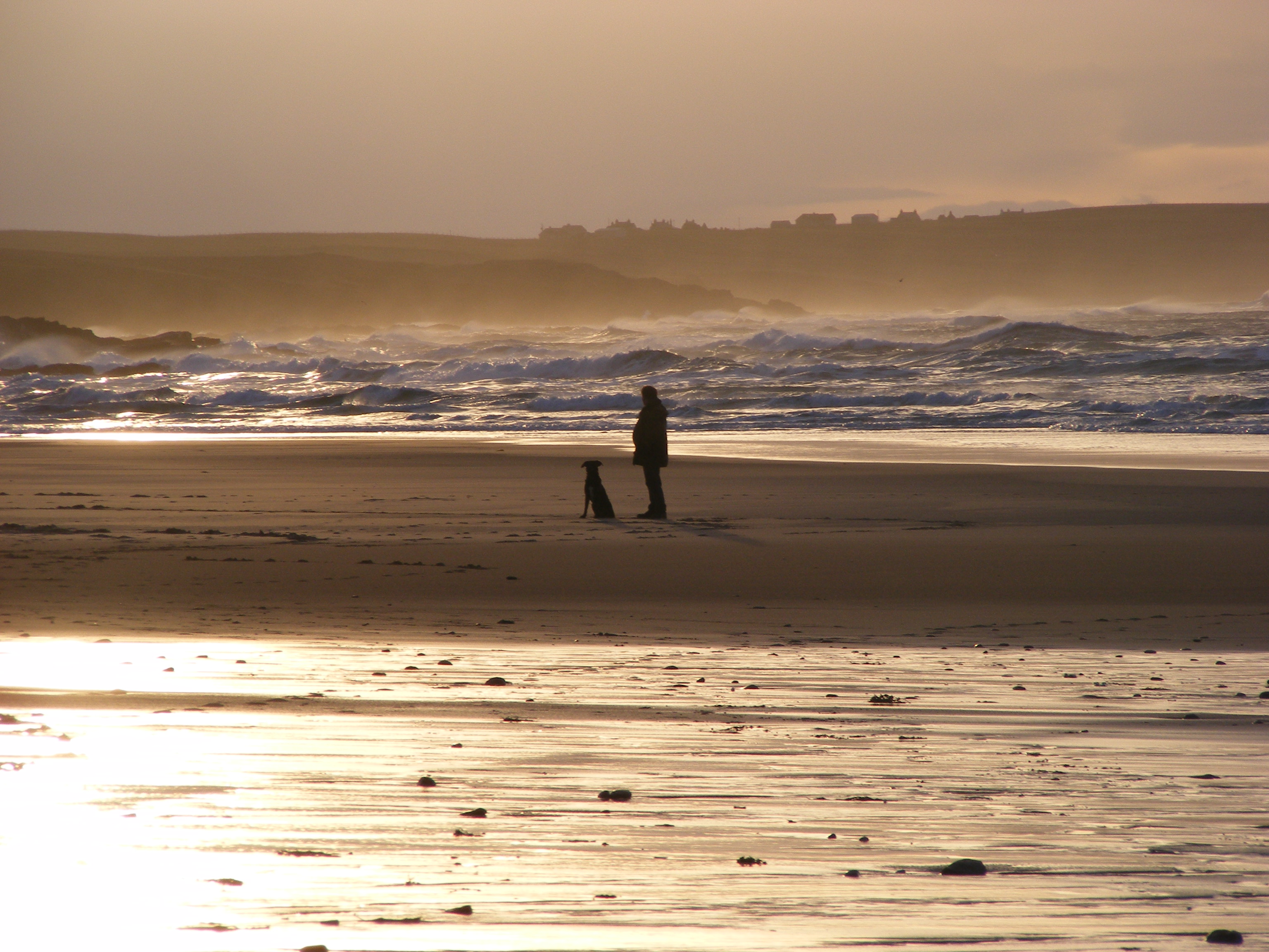
Tràigh Shuaineboist, located in Ross-shire, Scotland, is a picturesque beach renowned for its stunning natural beauty and tranquil atmosphere. Situated on the west coast of the Highlands, it stretches along the coastline near the village of Gairloch. Tràigh Shuaineboist, also known as Suainebost Beach, is a hidden gem that offers visitors a peaceful and unspoiled retreat.
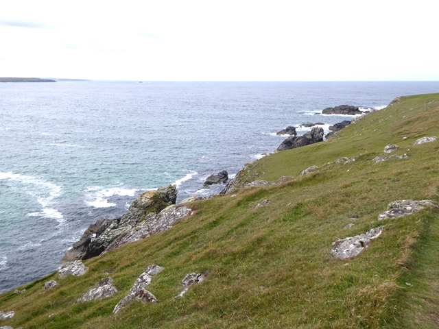
This idyllic sandy beach boasts pristine turquoise waters and is surrounded by breathtaking scenery. The beach is backed by rolling sand dunes, covered in vibrant grasses and wildflowers, creating a picturesque backdrop for beachgoers. The area is also frequented by various bird species, making it a haven for birdwatchers and nature enthusiasts.
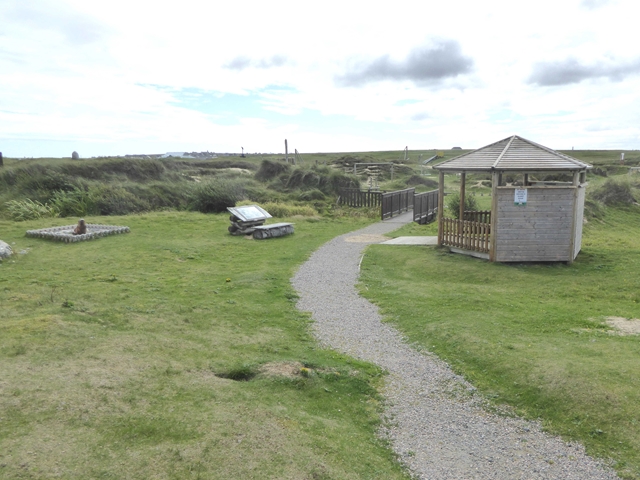
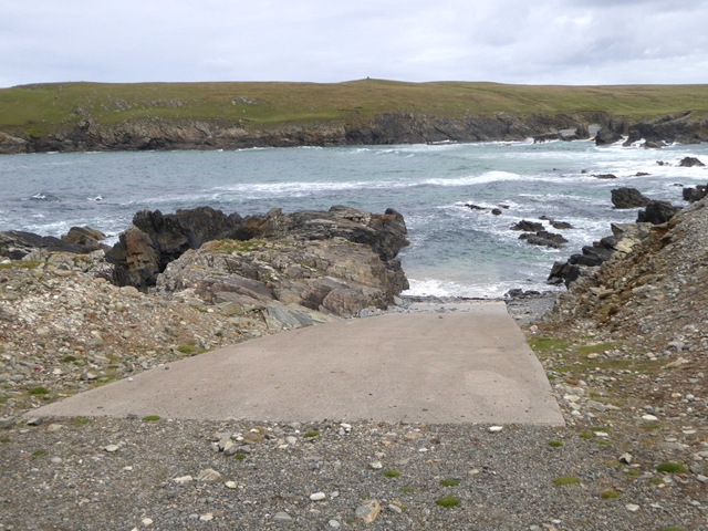
Tràigh Shuaineboist is known for its remote and secluded location, providing a sense of serenity and calmness. The absence of large crowds and commercial development allows visitors to enjoy the pure natural beauty of the beach in peace. The beach is an ideal spot for a leisurely stroll, picnicking, or simply basking in the sun.
Additionally, Tràigh Shuaineboist offers stunning panoramic views of the surrounding mountains, including the majestic Torridon hills. Its location also makes it an ideal starting point for exploring the nearby attractions, such as the stunning Isle of Skye and the picturesque Loch Maree.
In summary, Tràigh Shuaineboist is a hidden gem along Scotland's west coast, offering visitors a peaceful and unspoiled beach experience. With its pristine waters, stunning backdrop, and serene ambiance, the beach is a must-visit for nature lovers and those seeking a tranquil escape.
If you have any feedback on the listing, please let us know in the comments section below.
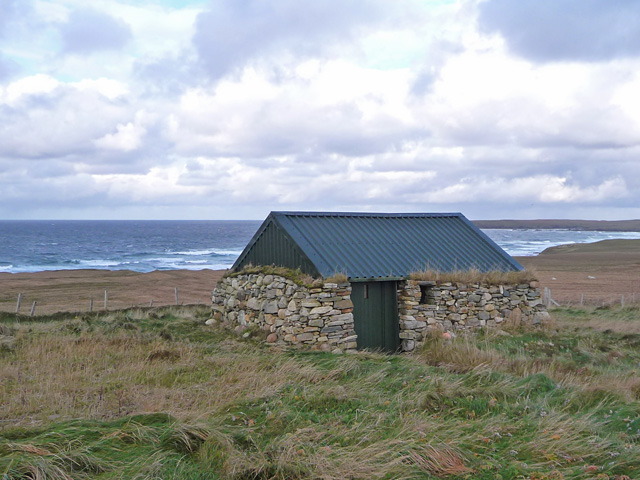
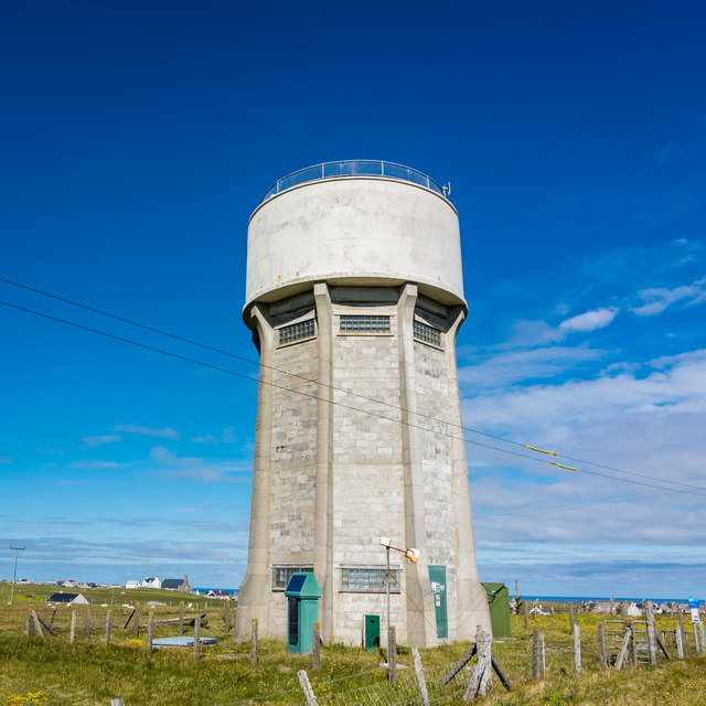
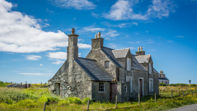
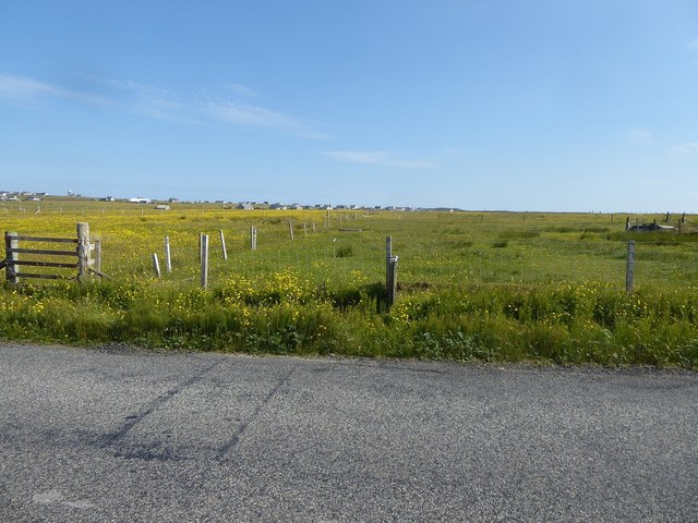
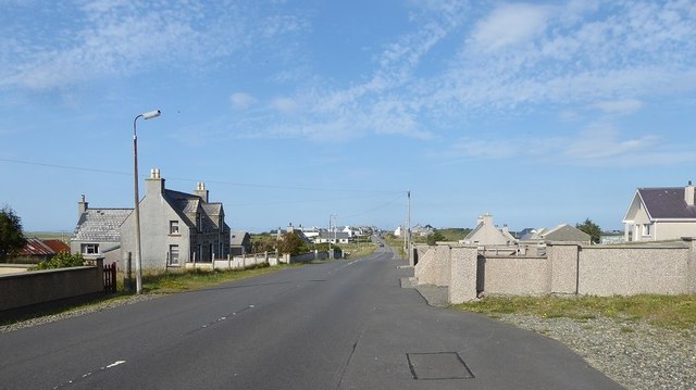
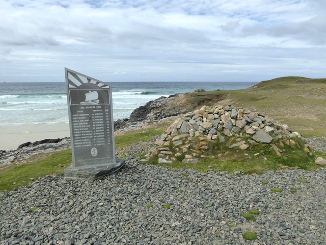
Tràigh Shuaineboist Images
Images are sourced within 2km of 58.491299/-6.2827913 or Grid Reference NB5063. Thanks to Geograph Open Source API. All images are credited.


Tràigh Shuaineboist is located at Grid Ref: NB5063 (Lat: 58.491299, Lng: -6.2827913)
Unitary Authority: Na h-Eileanan an Iar
Police Authority: Highlands and Islands
What 3 Words
///promising.flaking.computers. Near North Tolsta, Na h-Eileanan Siar
Nearby Locations
Related Wikis

Swainbost
Swainbost (Scottish Gaelic: Suaineabost) is a village on the Isle of Lewis in the district of Ness, in the Outer Hebrides, Scotland. The name Swainbost...
Eoropie
Eoropie (Scottish Gaelic: Eòrapaidh) is the most northerly village on the Isle of Lewis in the parish of Ness, in the Outer Hebrides, Scotland. Eoropie...

Teampall Mholuaidh
St Moluag's church (Scottish Gaelic: Teampall Mholuaidh) is a church in the village of Eoropie in Ness in the Isle of Lewis in Scotland. It is one of the...

Cross, Lewis
Cross (Scottish Gaelic: Cros) is a township on the Isle of Lewis in the community of Ness, in the Outer Hebrides, Scotland. Cross is within the parish...
Nearby Amenities
Located within 500m of 58.491299,-6.2827913Have you been to Tràigh Shuaineboist?
Leave your review of Tràigh Shuaineboist below (or comments, questions and feedback).