Teampall Challuim Chille
Heritage Site in Inverness-shire
Scotland
Teampall Challuim Chille
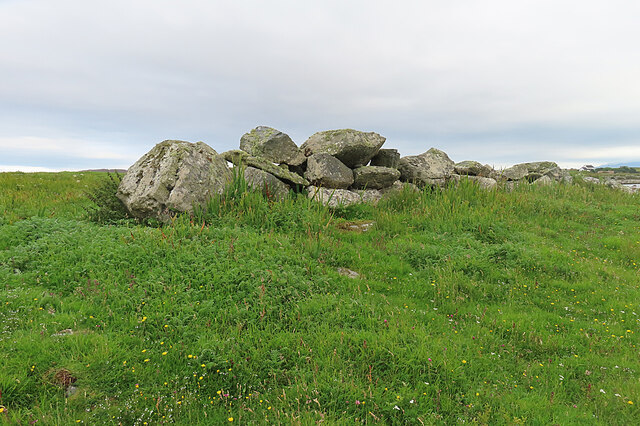
Teampall Challuim Chille, also known as St. Columba's Church, is a historic site located in Inverness-shire, Scotland. The church dates back to the 16th century and is considered a significant heritage site in the area.
The church is made of stone and features traditional Scottish architectural elements, such as a pointed roof and arched windows. The interior of the church is simple yet elegant, with wooden pews and a small altar at the front of the building.
Teampall Challuim Chille is surrounded by a peaceful graveyard, where many of the local community members have been laid to rest over the centuries. The site offers visitors a chance to explore the rich history of the area and pay their respects to those who have come before.
In addition to its historical significance, Teampall Challuim Chille is also a place of worship for the local community, with regular services held throughout the year. The church is a popular destination for tourists and locals alike, seeking to experience the beauty and tranquility of this ancient Scottish landmark.
If you have any feedback on the listing, please let us know in the comments section below.
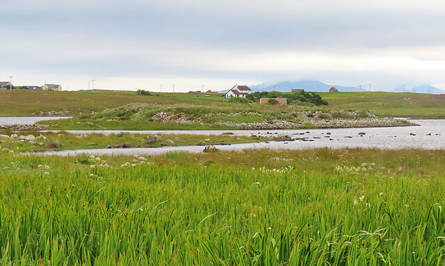
Teampall Challuim Chille Images
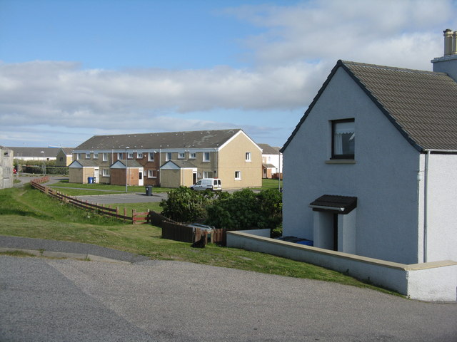
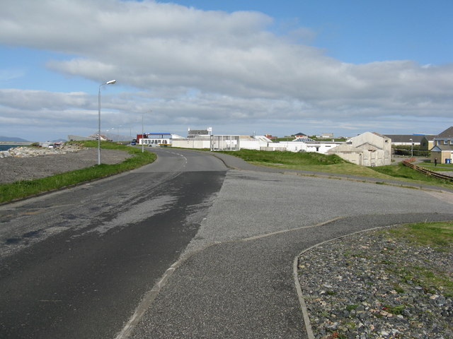
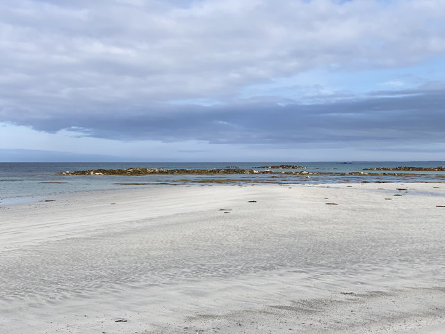
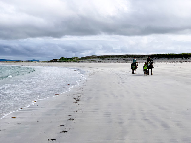
Images are sourced within 2km of 57.467/-7.363 or Grid Reference NF7854. Thanks to Geograph Open Source API. All images are credited.


Teampall Challuim Chille is located at Grid Ref: NF7854 (Lat: 57.467, Lng: -7.363)
Unitary Authority: Na h-Eileanan an Iar
Police Authority: Highlands and Islands
What 3 Words
///project.snowstorm.strict. Near Balivanich, Na h-Eileanan Siar
Related Wikis
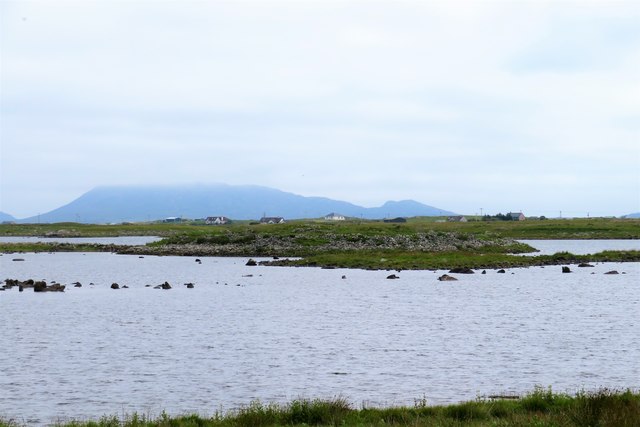
Deep Sea Range
The Deep Sea Range is an RAF missile range in the Outer Hebrides. It has also been known as the Hebrides Guided Weapon Range and the South Uist Missile...

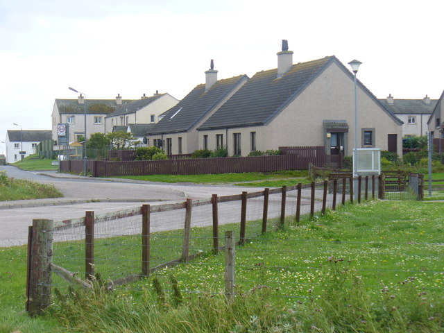
Balivanich
Balivanich (Scottish Gaelic: Baile a' Mhanaich [palə ˈvanɪç]) is a village on the island of Benbecula in the Outer Hebrides off the west coast of Scotland...

Uist and Barra Hospital
Ospadal Uibhist agus Bharraigh (Uist and Barra Hospital) is a community hospital in Benbecula which provides services on the islands of North Uist, South...

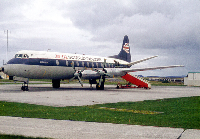
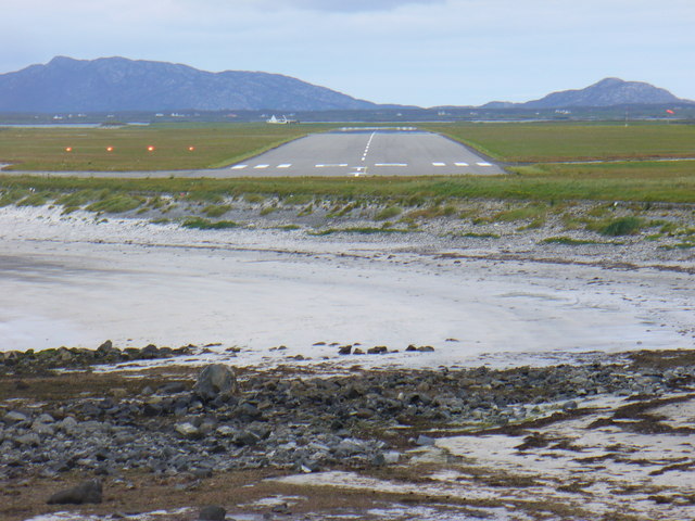
Benbecula Airport
Benbecula Airport (Scottish Gaelic: Port-adhair Bheinn na Faoghla) (IATA: BEB, ICAO: EGPL) is located on the island of Benbecula in the Outer Hebrides...
Nearby Amenities
Located within 500m of 57.467,-7.363Have you been to Teampall Challuim Chille?
Leave your review of Teampall Challuim Chille below (or comments, questions and feedback).