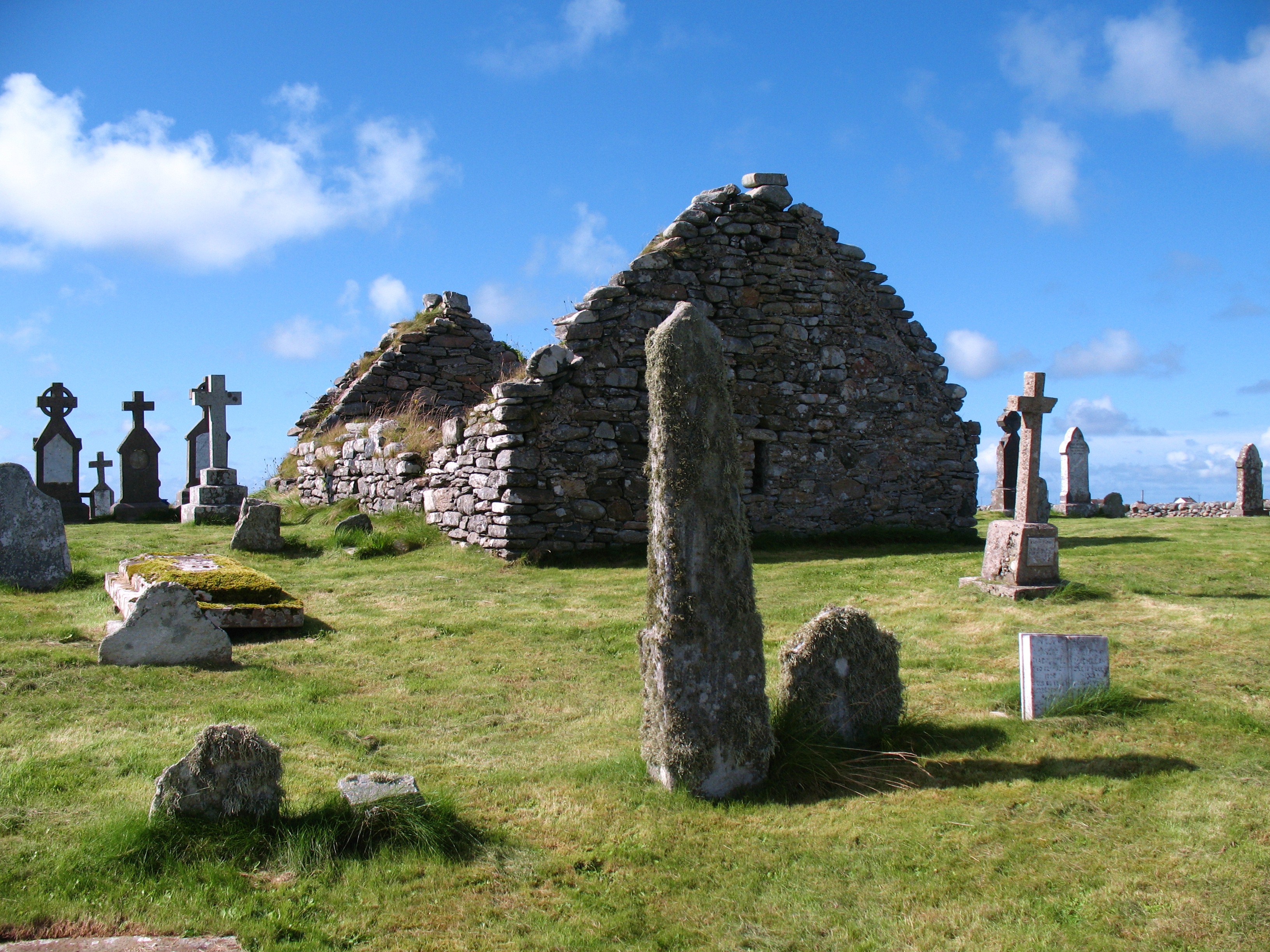
Teampall Bhuirgh
Heritage Site in Inverness-shire
Scotland
Teampall Bhuirgh
The requested URL returned error: 429 Too Many Requests
If you have any feedback on the listing, please let us know in the comments section below.
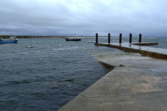
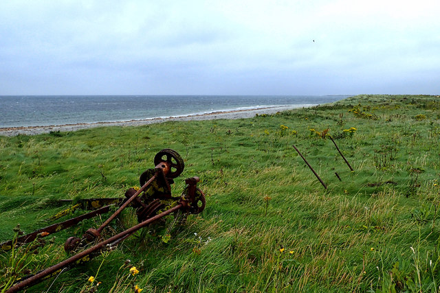
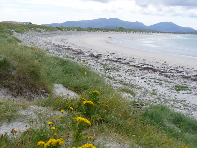
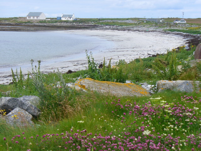
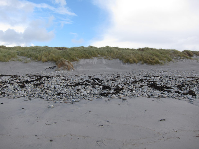
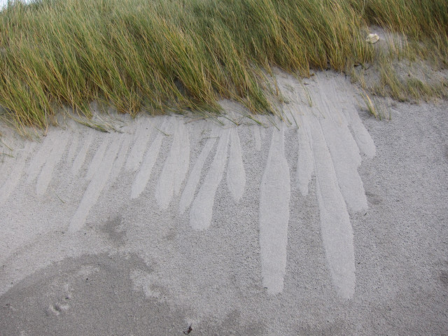
Teampall Bhuirgh Images
Images are sourced within 2km of 57.43/-7.392 or Grid Reference NF7650. Thanks to Geograph Open Source API. All images are credited.


Teampall Bhuirgh is located at Grid Ref: NF7650 (Lat: 57.43, Lng: -7.392)
Unitary Authority: Na h-Eileanan an Iar
Police Authority: Highlands and Islands
What 3 Words
///bath.currently.waving. Near Balivanich, Na h-Eileanan Siar
Nearby Locations
Related Wikis

Borve Castle, Benbecula
Borve Castle, also known as Castle Wearie, and Caisteal Bhuirgh in Scottish Gaelic, is a ruined 14th-century tower house, located at the south-west of...
Nunton, Benbecula
Nunton (Scottish Gaelic: Baile nan Cailleach) is a settlement on Benbecula in the Outer Hebrides, Scotland. Nunton is within the parish of South Uist,...

Balgarva
Balgarva (Scottish Gaelic: Baile Gharbhaidh) is a crofting settlement on South Uist in the Outer Hebrides, Scotland. Balgarva is within the parish of South...

Iochdar
Iochdar (Scottish Gaelic: An t-Ìochdair), also spelled Eochar, is a hamlet and community on the west coast of the island of South Uist, in the Outer Hebrides...
Nearby Amenities
Located within 500m of 57.43,-7.392Have you been to Teampall Bhuirgh?
Leave your review of Teampall Bhuirgh below (or comments, questions and feedback).