Tantallon Castle
Heritage Site in East Lothian
Scotland
Tantallon Castle
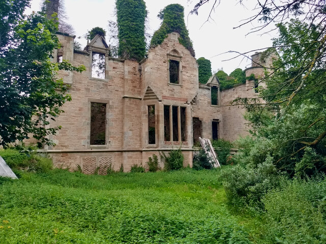
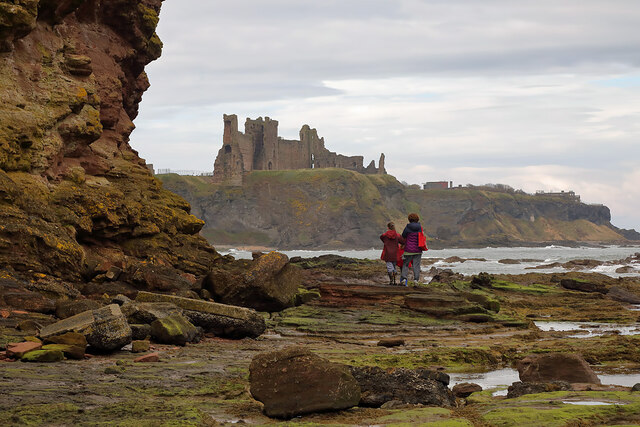
Tantallon Castle, located in East Lothian, Scotland, is a magnificent historic fortress that has stood proudly on the cliffs overlooking the Firth of Forth for over six centuries. This imposing structure, with its striking red sandstone walls, stands as a testament to Scotland's turbulent history.
Built in the mid-14th century by William Douglas, the castle was strategically positioned to defend against potential attacks from land and sea. The castle's most prominent feature is its massive curtain wall, which stretches over 100 meters in length and reaches a height of 15 meters in some places. This formidable barrier is punctuated by several towers, including the impressive Douglas Tower, which offers stunning panoramic views of the surrounding landscape.
Over the centuries, Tantallon Castle has witnessed numerous conflicts and sieges, including attacks by English forces during the Wars of Scottish Independence. Despite its military significance, the castle also served as a residence for the powerful Douglas family, who added various domestic features such as a great hall, kitchen, and private chambers.
Today, Tantallon Castle stands as a well-preserved heritage site, managed by Historic Environment Scotland. Visitors can explore the castle's ruins and learn about its rich history through informative exhibits and displays. The site offers a unique opportunity to experience the grandeur and resilience of medieval Scottish architecture. Additionally, the castle's dramatic location and stunning views make it a popular destination for photographers and nature enthusiasts alike.
In conclusion, Tantallon Castle is an awe-inspiring fortress steeped in history, offering a captivating glimpse into Scotland's past. Its commanding presence and picturesque setting make it a must-visit destination for history buffs and those seeking to immerse themselves in Scotland's rich cultural heritage.
If you have any feedback on the listing, please let us know in the comments section below.
Tantallon Castle Images
Images are sourced within 2km of 56.06/-2.65 or Grid Reference NT5985. Thanks to Geograph Open Source API. All images are credited.
Tantallon Castle is located at Grid Ref: NT5985 (Lat: 56.06, Lng: -2.65)
Unitary Authority: East Lothian
Police Authority: The Lothians and Scottish Borders
What 3 Words
///division.trinkets.copiers. Near North Berwick, East Lothian
Nearby Locations
Related Wikis

Canty Bay
Canty Bay is a small inlet and coastal hamlet on the northern coast of East Lothian, Scotland. It is 2 miles (3.2 km) east of North Berwick and is opposite...
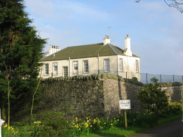
Auldhame & Scoughall
Auldhame and Scoughall are hamlets in East Lothian, Scotland. They are close to the town of North Berwick and the village of Whitekirk, and are approximately...
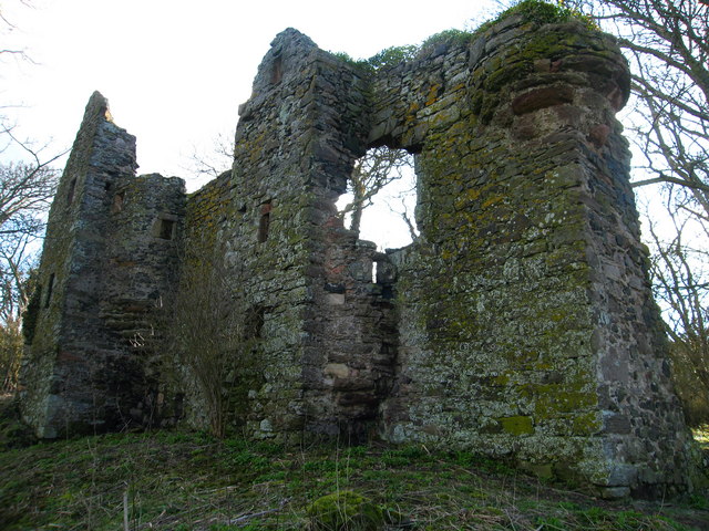
Auldhame Castle
Auldhame Castle is a ruined L-plan tower house standing on a ridge above Seacliff beach, about 3 miles east of North Berwick in East Lothian, and less...
Seacliff
Seacliff comprises a beach, an estate and a harbour. It lies 4 miles (6 kilometres) east of North Berwick, East Lothian, Scotland. == History == The beach...

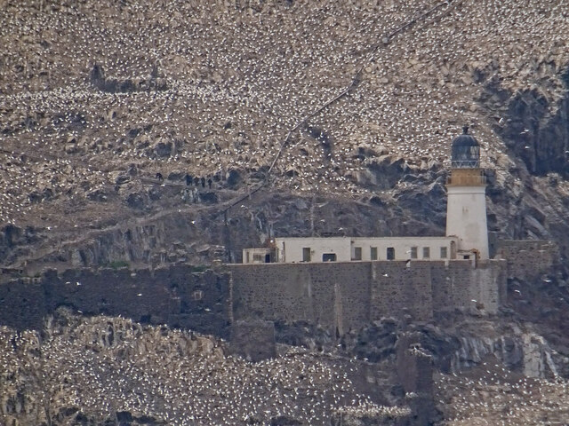
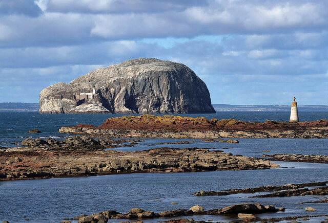
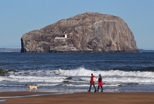
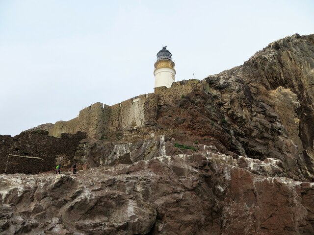
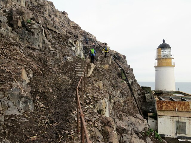
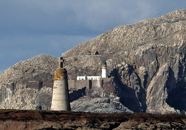
Bass Rock Lighthouse
The Bass Rock Lighthouse on Bass Rock is a 20-metre (66 ft) lighthouse, built in 1902 by David Stevenson, who demolished the 13th-century keep, or governor...
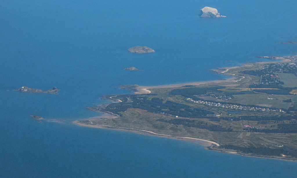
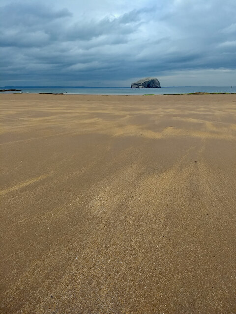
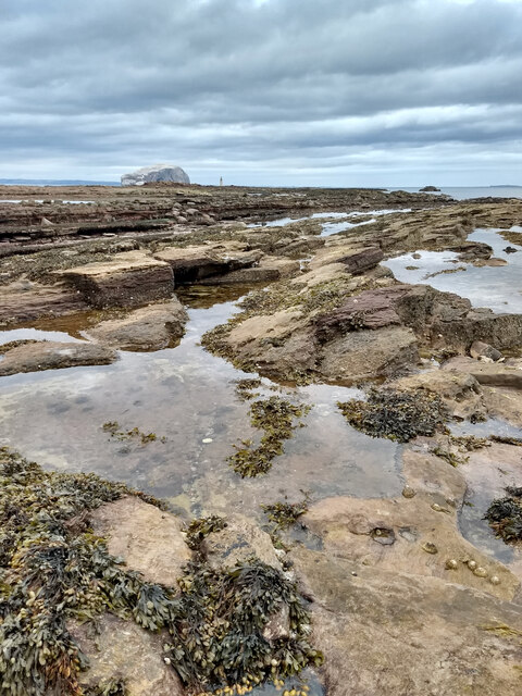
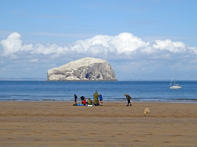
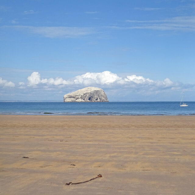
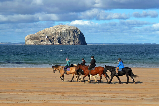
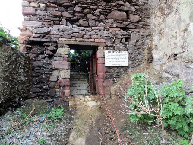
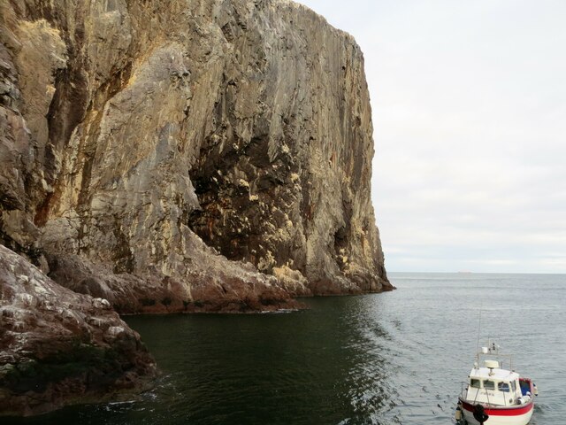
Bass Rock
The Bass Rock, or simply the Bass ( ), (Scottish Gaelic: Creag nam Bathais or Scottish Gaelic: Am Bas) is an island in the outer part of the Firth of Forth...

North Berwick Castle
North Berwick Castle was a castle on motte, originating in the 13th-century, east of North Berwick, East Lothian, Scotland, just south of the Firth of...
Whitekirk and Tyninghame
Whitekirk and Tyninghame is a civil parish in East Lothian, Scotland, which takes its name from the two small settlements of Whitekirk and Tyninghame....
Nearby Amenities
Located within 500m of 56.06,-2.65Have you been to Tantallon Castle?
Leave your review of Tantallon Castle below (or comments, questions and feedback).