Saddle Rock
Island in East Lothian
Scotland
Saddle Rock
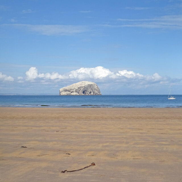
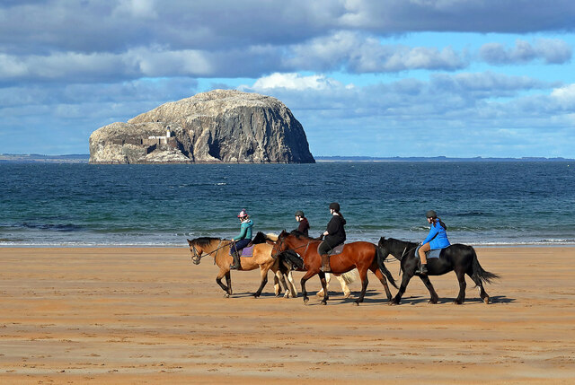
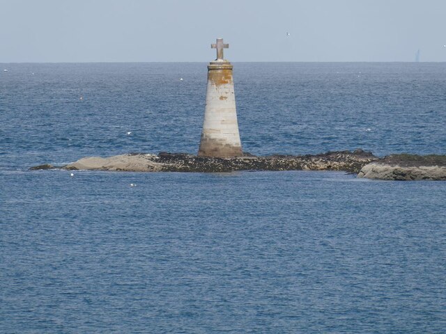
Saddle Rock is a small island located off the coast of East Lothian, Scotland. It is situated within the Firth of Forth, approximately 3 miles northeast of North Berwick. The island is named after its distinctive saddle-shaped rock formation that rises prominently from the surrounding sea.
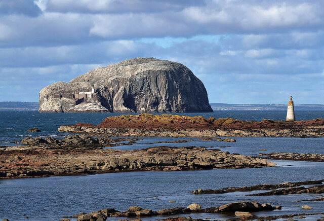
Covering an area of about 2 acres, Saddle Rock is composed mainly of rugged cliffs and rocky outcrops. The terrain is predominantly made up of sandstone, with some areas featuring grassy patches and sparse vegetation. The island is accessible only by boat, and caution is advised when approaching due to the steep cliffs and strong currents in the area.
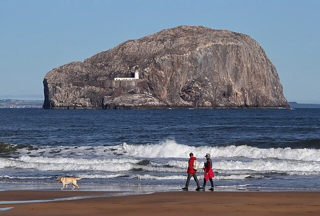
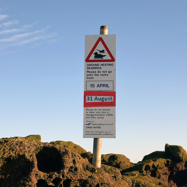
Despite its small size, Saddle Rock is renowned for its rich biodiversity. The surrounding waters are home to a variety of marine life, including seals, dolphins, and various seabird species. The island itself provides a nesting ground for several bird species, such as puffins, guillemots, and razorbills.
Saddle Rock also holds historical significance, with evidence of human activity dating back centuries. It is believed to have been used as a navigational aid by sailors due to its distinctive shape. Additionally, there are remnants of a small stone structure on the island, possibly indicating past human habitation or use.
Due to its remote and inaccessible nature, Saddle Rock is primarily visited by wildlife enthusiasts, birdwatchers, and adventurous explorers. Its unique geological features and diverse wildlife make it a fascinating destination for nature lovers seeking a glimpse of Scotland's natural wonders.
If you have any feedback on the listing, please let us know in the comments section below.
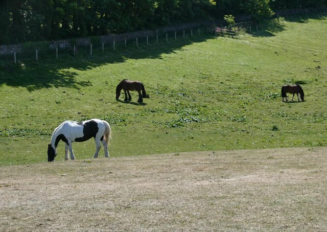
Saddle Rock Images
Images are sourced within 2km of 56.059665/-2.6542238 or Grid Reference NT5985. Thanks to Geograph Open Source API. All images are credited.


Saddle Rock is located at Grid Ref: NT5985 (Lat: 56.059665, Lng: -2.6542238)
Unitary Authority: East Lothian
Police Authority: The Lothians and Scottish Borders
What 3 Words
///toddler.passing.amplifier. Near North Berwick, East Lothian
Nearby Locations
Related Wikis

Canty Bay
Canty Bay is a small inlet and coastal hamlet on the northern coast of East Lothian, Scotland. It is 2 miles (3.2 km) east of North Berwick and is opposite...
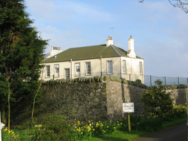
Auldhame & Scoughall
Auldhame and Scoughall are hamlets in East Lothian, Scotland. They are close to the town of North Berwick and the village of Whitekirk, and are approximately...
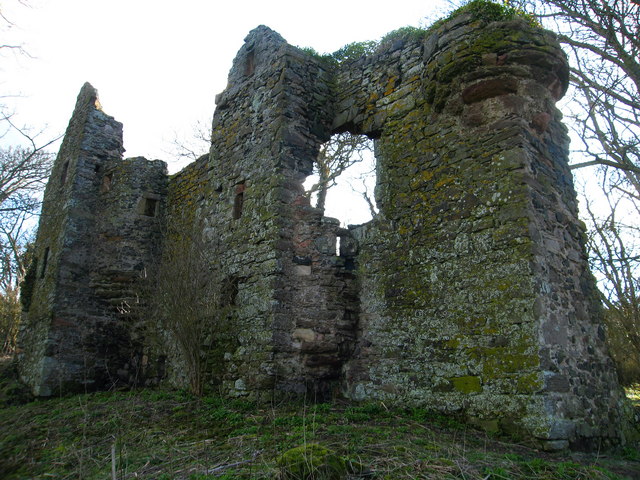
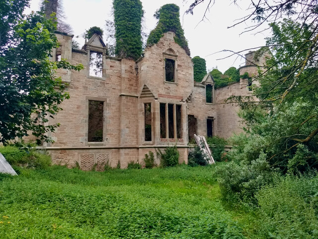
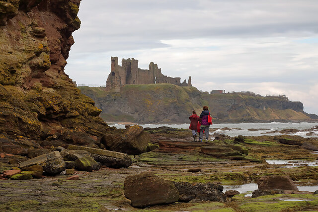
Auldhame Castle
Auldhame Castle is a ruined L-plan tower house standing on a ridge above Seacliff beach, about 3 miles east of North Berwick in East Lothian, and less...
Seacliff
Seacliff comprises a beach, an estate and a harbour. It lies 4 miles (6 kilometres) east of North Berwick, East Lothian, Scotland. == History == The beach...

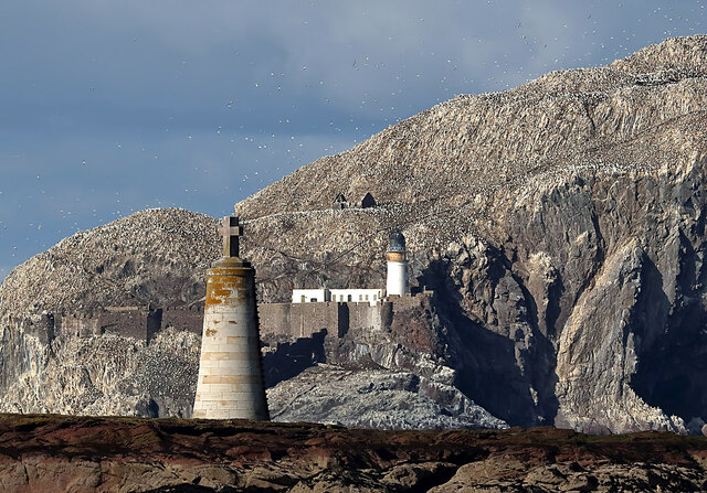
Bass Rock Lighthouse
The Bass Rock Lighthouse on Bass Rock is a 20-metre (66 ft) lighthouse, built in 1902 by David Stevenson, who demolished the 13th-century keep, or governor...
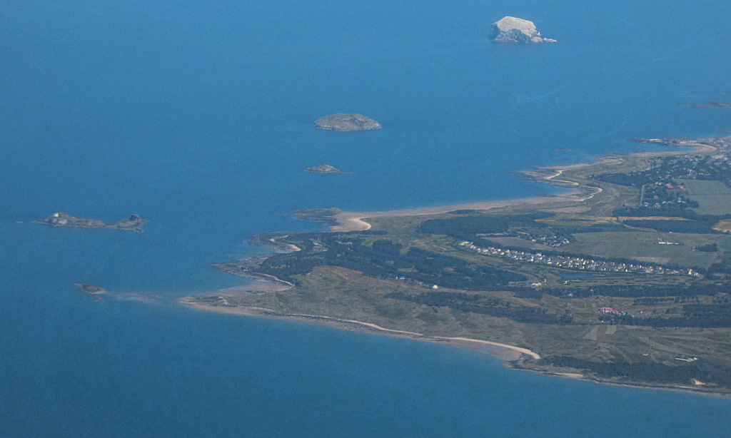
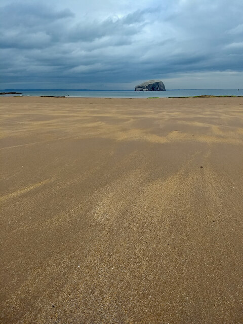
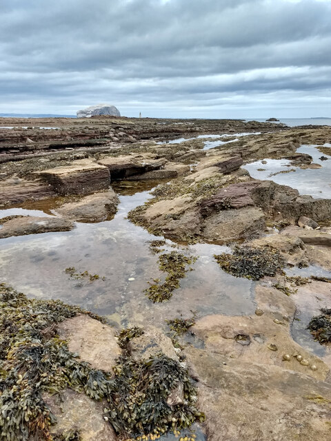
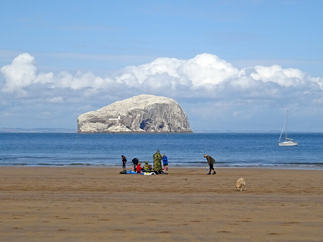
Bass Rock
The Bass Rock, or simply the Bass ( ), (Scottish Gaelic: Creag nam Bathais or Scottish Gaelic: Am Bas) is an island in the outer part of the Firth of Forth...

North Berwick Castle
North Berwick Castle was a castle on motte, originating in the 13th-century, east of North Berwick, East Lothian, Scotland, just south of the Firth of...
Whitekirk and Tyninghame
Whitekirk and Tyninghame is a civil parish in East Lothian, Scotland, which takes its name from the two small settlements of Whitekirk and Tyninghame....
Nearby Amenities
Located within 500m of 56.059665,-2.6542238Have you been to Saddle Rock?
Leave your review of Saddle Rock below (or comments, questions and feedback).