Star Castle

Heritage Site in Cornwall

England

Star Castle

Tresco will be busy today Three cruise ships in The Road today.  No doubt the most popular shore trip will be to Tesco's famous sub-tropical gardens.  As long as they keep away from St Agnes, that will be fine.

The boat heading into Perconger is the St Agnes boating's sea taxi craft "Enterprise".
Tresco will be busy today Credit: David Lally

Star Castle is a historic fortress located on St. Mary's Island in the Isles of Scilly, Cornwall, England. Built in the late 16th century as a defensive structure, it has since become a popular heritage site and tourist attraction. The castle is situated on a rocky outcrop overlooking the picturesque Hugh Town, offering stunning views of the surrounding islands and the Atlantic Ocean.

The fortress was constructed by Sir Francis Godolphin between 1593 and 1598 as a response to the threat of Spanish invasion. Its unique star-shaped design, a common feature in military architecture of the time, provided excellent defense capabilities. The central tower, known as the "Keep," housed the living quarters, armory, and a well. Outer walls were fortified with cannons and gunports, creating a formidable defense system.

Star Castle has witnessed significant historical events over the centuries. During the English Civil War in the mid-17th century, it served as a Royalist stronghold. In the following centuries, it was used as a military garrison and later as a prison for French captives during the Napoleonic Wars.

Today, Star Castle stands as a well-preserved example of Elizabethan military architecture. It has been converted into a luxurious hotel, offering visitors a unique opportunity to experience the castle's rich history while enjoying modern amenities. The hotel retains many original features, including the Keep, the drawbridge, and the underground passages. Guided tours are available, providing visitors with insights into the castle's fascinating past.

Surrounded by beautiful gardens, Star Castle provides a tranquil and picturesque setting for both history enthusiasts and vacationers seeking a unique experience in Cornwall.

If you have any feedback on the listing, please let us know in the comments section below.

Star Castle Images

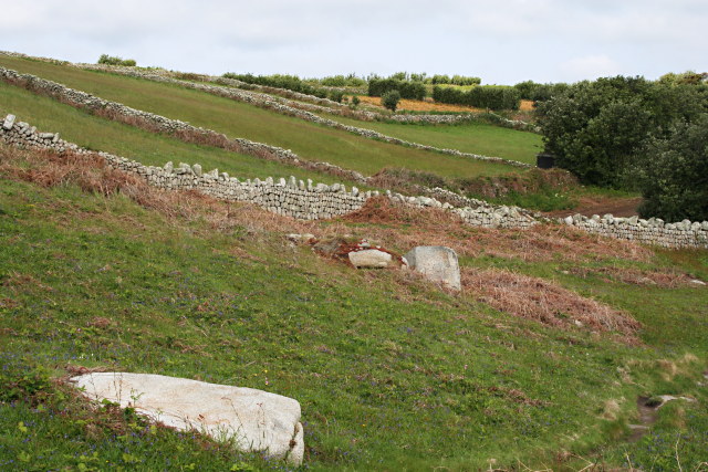
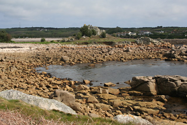
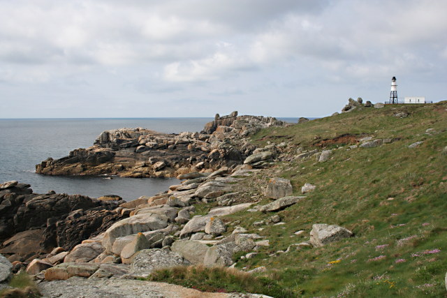
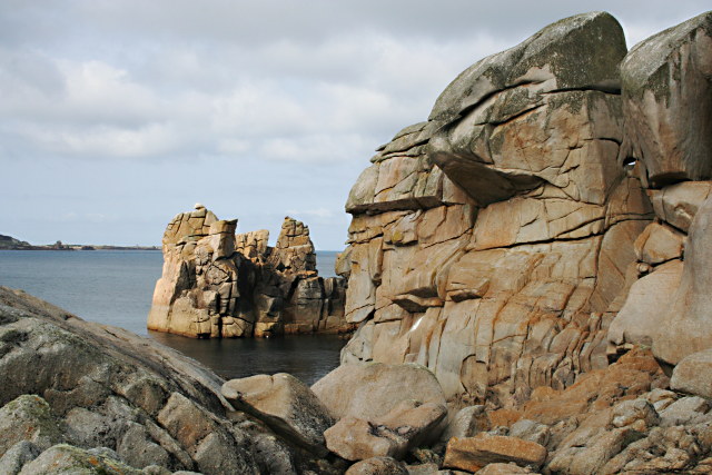
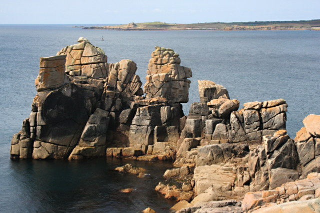
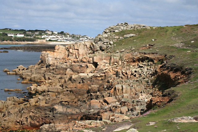
Images are sourced within 2km of 49.913/-6.325 or Grid Reference SV8910. Thanks to Geograph Open Source API. All images are credited.

Tresco will be busy today Three cruise ships in The Road today.  No doubt the most popular shore trip will be to Tesco's famous sub-tropical gardens.  As long as they keep away from St Agnes, that will be fine.

The boat heading into Perconger is the St Agnes boating's sea taxi craft "Enterprise".
Tresco will be busy today
Three cruise ships in The Road today. No doubt the most popular shore trip will be to Tesco's famous sub-tropical gardens. As long as they keep away from St Agnes, that will be fine. The boat heading into Perconger is the St Agnes boating's sea taxi craft "Enterprise".
Rock formations at Peninnis Head
Morning Point, the Garrison Looking SE to the offshore rocks Wras and (behind and smaller) Biggal; Inner Head <a href="https://www.geograph.org.uk/gridref/SV908093">SV908093</a> (part of Peninnis Head) is just visible to the far left, on the other side of Porth Cressa bay. Note the passing storm on the horizon...
Morning Point, the Garrison
Looking SE to the offshore rocks Wras and (behind and smaller) Biggal; Inner Head SV908093 (part of Peninnis Head) is just visible to the far left, on the other side of Porth Cressa bay. Note the passing storm on the horizon...
Peninnis Head Looking SSE to the lighthouse from approx. SV910097.
Peninnis Head
Looking SSE to the lighthouse from approx. SV910097.
Old Town Bay from Peninnis There is a former Battery on the island to the right of the pine tree.
Old Town Bay from Peninnis
There is a former Battery on the island to the right of the pine tree.
Tolman Point Viewed from the north on the very edge of the square; note the WW2 pillbox.
Tolman Point
Viewed from the north on the very edge of the square; note the WW2 pillbox.
Lighthouse at Peninnis Head, St. Mary's The lighthouse guides shipping passing through St. Mary's Sound, between the islands of Agnes and St. Mary's.  The lattice-work construction reduces its wind resistance.
Lighthouse at Peninnis Head, St. Mary's
The lighthouse guides shipping passing through St. Mary's Sound, between the islands of Agnes and St. Mary's. The lattice-work construction reduces its wind resistance.
St. Mary’s: Peninnis Point Viewed from the ferry from Penzance shortly before arrival on the island.
St. Mary’s: Peninnis Point
Viewed from the ferry from Penzance shortly before arrival on the island.
Photographing the Rock Labyrinth The area between the lighthouse and the Outer Head is appropriately known as the Rock Labyrinth. In younger (and slimmer) days we would explore this fantastic maze of huge granite rocks.
Photographing the Rock Labyrinth
The area between the lighthouse and the Outer Head is appropriately known as the Rock Labyrinth. In younger (and slimmer) days we would explore this fantastic maze of huge granite rocks.
Carn Leh, St. Mary's, Scilly Isles
Footpath on Peninnis Head, St. Mary's, Scilly Isles
Granite Stone Walls Granite is pretty much the only rock there is on the Scillies and there's plenty of it, so it makes sense to build your field walls out of it.
Granite Stone Walls
Granite is pretty much the only rock there is on the Scillies and there's plenty of it, so it makes sense to build your field walls out of it.
Fields on the eastern side of Peninnis The field at the bottom of the hill on the right is being used for bulb growing, the others look as though they have been left to grass.
Fields on the eastern side of Peninnis
The field at the bottom of the hill on the right is being used for bulb growing, the others look as though they have been left to grass.
Carn Leh Cove The headland of Carn Leh separates this small cove from the larger Old Town Bay.
Carn Leh Cove
The headland of Carn Leh separates this small cove from the larger Old Town Bay.
Peninnis Head Looking towards the Outer Head and the Lighthouse.
Peninnis Head
Looking towards the Outer Head and the Lighthouse.
Rock Formations on Inner Head Around Peninnis Head the granite rock has been worn to fantastic shapes by the waves and weather.
Rock Formations on Inner Head
Around Peninnis Head the granite rock has been worn to fantastic shapes by the waves and weather.
Rocky Promontory on Inner Head In the background is the island of Gugh.
Rocky Promontory on Inner Head
In the background is the island of Gugh.
The Foreshore North of Inner Head Lots of pink granite exposed on the foreshore at low tide.
The Foreshore North of Inner Head
Lots of pink granite exposed on the foreshore at low tide.
Show me another place!

Star Castle is located at Grid Ref: SV8910 (Lat: 49.913, Lng: -6.325)

Unitary Authority: Cornwall

Police Authority: Devon and Cornwall

What 3 Words

///disco.after.pictured. Near St Mary's, Isles of Scilly

Related Wikis

Garrison Tower

Garrison Tower is a Grade II listed structure on St Mary's, Isles of Scilly The tower was built in the 17th century as a windmill. By 1750 it was abandoned...

Star Castle, Isles of Scilly

Star Castle is a fortress on St Mary's, Isles of Scilly, built in 1593 by Robert Adams, Surveyor of the Royal Works (d.1595) and Francis Godolphin, Captain...

Tamarisk, Isles of Scilly

Tamarisk, or Tamarisk House, is a house belonging to the Duchy of Cornwall, on St Mary's in the Isles of Scilly, in the United Kingdom off the coast of...

Tregarthen's Hotel

Tregarthen's Hotel is a hotel in Hugh Town on St Mary's in the Isles of Scilly. Tregarthen's was the very first hotel to be established on the Isles of...

Nearby Amenities

Located within 500m of 49.913,-6.325
Barrier: stile
Lat/Long: 49.9103066/-6.3241949
Barrier: stile
Lat/Long: 49.9132511/-6.324409
Leisure: swimming_pool
Sport: swimming
Lat/Long: 49.9144558/-6.3211981
Bar
Dungeon Bar
Lat/Long: 49.915453/-6.3210047
Historic: memorial
Lat/Long: 49.9142425/-6.3187962
Ele: 42
Natural: peak
Lat/Long: 49.911547/-6.3223284
Tourism: viewpoint
Lat/Long: 49.9143284/-6.3187784
Tourism: camp_site
Lat/Long: 49.9118631/-6.3220085
Bench
Backrest: yes
Lat/Long: 49.9155372/-6.3207527
Information: board
Tourism: information
Lat/Long: 49.9160029/-6.3231427
Bench
Lat/Long: 49.9123714/-6.3257982
Historic: cannon
Lat/Long: 49.9132238/-6.318075
King Charles' Battery
Historic: fort
Lat/Long: 49.9158911/-6.3235238
Barrier: sally_port
Lat/Long: 49.9137108/-6.3185789
Direction: 175
Generator Method: photovoltaic
Generator Output Electricity: yes
Generator Solar Modules: 14
Generator Source: solar
Generator Type: solar_photovoltaic_panel
Location: roof
Power: generator
Lat/Long: 49.9146244/-6.3185538
Generator Method: photovoltaic
Generator Output Electricity: yes
Generator Source: solar
Generator Type: solar_photovoltaic_panel
Location: roof
Power: generator
Lat/Long: 49.9140515/-6.318401
Generator Method: photovoltaic
Generator Output Electricity: yes
Generator Source: solar
Generator Type: solar_photovoltaic_panel
Location: roof
Power: generator
Lat/Long: 49.9140435/-6.318447
Generator Method: photovoltaic
Generator Output Electricity: yes
Generator Source: solar
Generator Type: solar_photovoltaic_panel
Location: roof
Power: generator
Lat/Long: 49.9139642/-6.3184138
Generator Method: photovoltaic
Generator Output Electricity: yes
Generator Source: solar
Generator Type: solar_photovoltaic_panel
Location: roof
Power: generator
Lat/Long: 49.9139714/-6.3183721
Generator Method: photovoltaic
Generator Output Electricity: yes
Generator Source: solar
Generator Type: solar_photovoltaic_panel
Location: roof
Power: generator
Lat/Long: 49.9138442/-6.3183527
Generator Method: photovoltaic
Generator Output Electricity: yes
Generator Source: solar
Generator Type: solar_photovoltaic_panel
Location: roof
Power: generator
Lat/Long: 49.9137868/-6.3183219
Generator Method: photovoltaic
Generator Output Electricity: yes
Generator Source: solar
Generator Type: solar_photovoltaic_panel
Location: roof
Power: generator
Lat/Long: 49.9138529/-6.3183098
Generator Method: photovoltaic
Generator Output Electricity: yes
Generator Source: solar
Generator Type: solar_photovoltaic_panel
Location: roof
Power: generator
Lat/Long: 49.913806/-6.3182827
Generator Method: photovoltaic
Generator Output Electricity: yes
Generator Source: solar
Generator Type: solar_photovoltaic_panel
Location: roof
Power: generator
Lat/Long: 49.9137077/-6.3182795
Generator Method: photovoltaic
Generator Output Electricity: yes
Generator Source: solar
Generator Type: solar_photovoltaic_panel
Location: roof
Power: generator
Lat/Long: 49.9137184/-6.3182357
Generator Method: photovoltaic
Generator Output Electricity: yes
Generator Source: solar
Generator Type: solar_photovoltaic_panel
Location: roof
Power: generator
Lat/Long: 49.9136502/-6.3182487
Generator Method: photovoltaic
Generator Output Electricity: yes
Generator Source: solar
Generator Type: solar_photovoltaic_panel
Location: roof
Power: generator
Lat/Long: 49.9136592/-6.3182031
Barrier: entrance
Lat/Long: 49.9154283/-6.3193762
Steval Point
Place: locality
Lat/Long: 49.9126923/-6.326914
The data included in this document is from www.openstreetmap.org. The data is made available under ODbL.

Have you been to Star Castle ?

Leave your review of Star Castle below (or comments, questions and feedback).