Stapleton Tower
Heritage Site in Dumfriesshire
Scotland
Stapleton Tower

Stapleton Tower, located in Dumfriesshire, Scotland, is a historic heritage site that holds great significance in the region. Built in the 15th century, this tower house stands as a testament to the architectural prowess and defensive capabilities of its time.
The tower, made of local stone, is a three-story structure with a rectangular floor plan. It features thick walls, narrow windows, and a steep slate roof, all of which were designed to withstand attacks and protect its inhabitants. The tower's defensive nature is further emphasized by its strategic location on a hill, providing a vantage point over the surrounding landscape.
Originally constructed as a residence for the local laird, Stapleton Tower later served as a stronghold for the influential Maxwell family during the turbulent times of border conflicts. The tower's interior includes a great hall, chambers, and a spiral stone staircase leading to the upper levels. Visitors can explore these spaces and get a glimpse into the lives of the tower's past inhabitants.
Over the centuries, Stapleton Tower has experienced various alterations and additions, reflecting the changing needs and tastes of its occupants. Today, it stands as a well-preserved example of medieval architecture in Scotland and is managed by the National Trust for Scotland. The tower's tranquil surroundings and panoramic views make it a popular destination for tourists and history enthusiasts alike.
Stapleton Tower is not only a physical reminder of Scotland's past but also serves as a cultural symbol, connecting the present generation to its rich heritage.
If you have any feedback on the listing, please let us know in the comments section below.
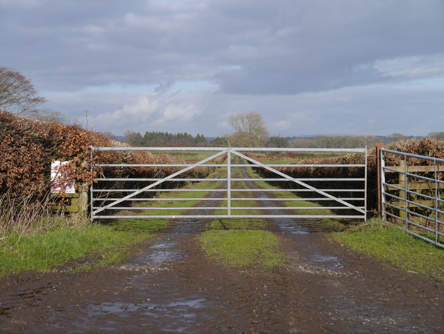
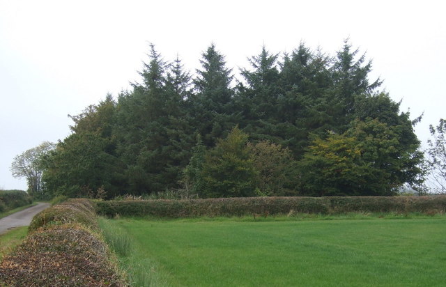
Stapleton Tower Images
Images are sourced within 2km of 55.005/-3.197 or Grid Reference NY2368. Thanks to Geograph Open Source API. All images are credited.


Stapleton Tower is located at Grid Ref: NY2368 (Lat: 55.005, Lng: -3.197)
Unitary Authority: Dumfries and Galloway
Police Authority: Dumfries and Galloway
What 3 Words
///oval.husky.skylights. Near Eastriggs, Dumfries & Galloway
Nearby Locations
Related Wikis
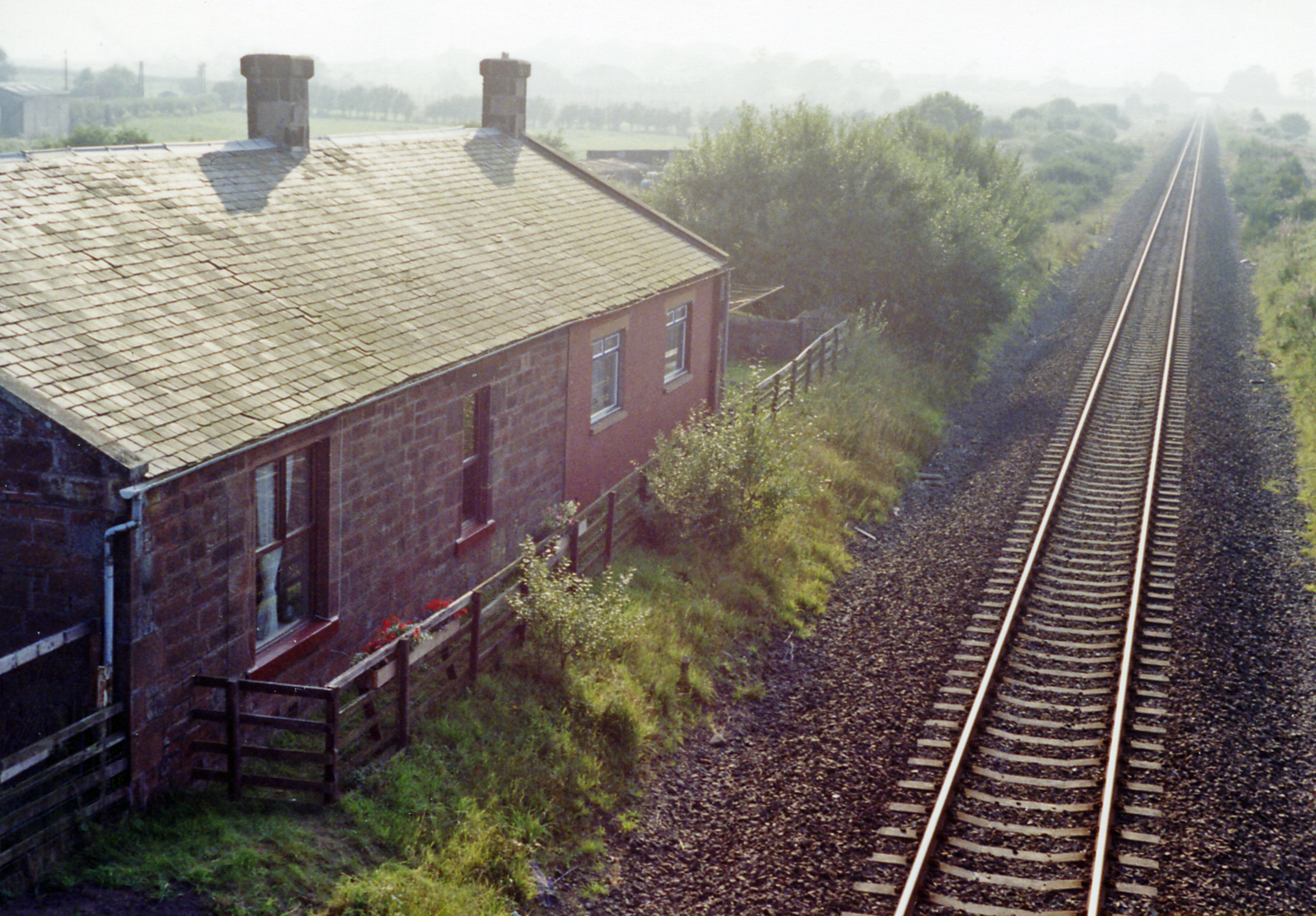
Eastriggs railway station
Eastriggs railway station was a railway station in Dumfries and Galloway between Annan and Gretna. Dumfries and Galloway Council are trying to find funding...
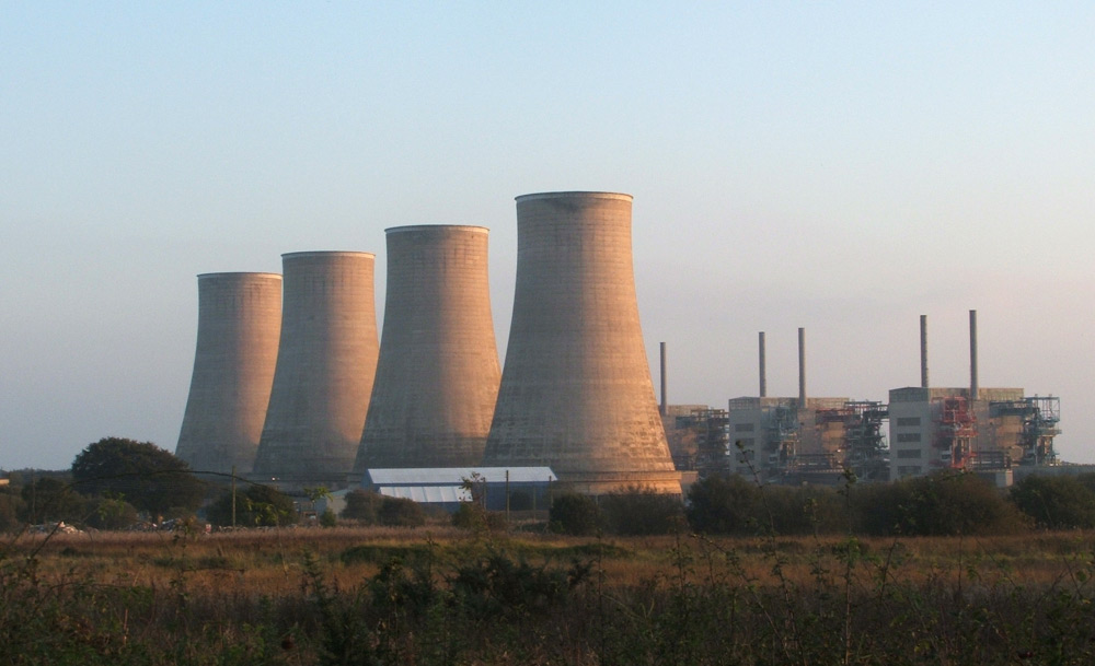
Chapelcross nuclear power station
Chapelcross nuclear power station is a former Magnox nuclear power station undergoing decommissioning. It is located in Annan in Dumfries and Galloway...

Battle of Dornock
The Battle of Dornock was fought on 25 March 1333 during the Second War of Scottish Independence. == Background == In 1333 Edward Balliol, a claimant to...
Dornock
Dornock is a small Scottish village in Dumfries and Galloway, situated about 1 mile (1.6 km) west of Eastriggs and 2 miles (3 km) east of Annan. Dornock...
Eastriggs
Eastriggs is a small village located in Dumfries and Galloway in the south of Scotland, the village is located around 2 mi (3.2 km) north of the mud and...
Battle of Annan Moor
The Battle of Annan Moor was a battle of the Scottish civil war, part of the intertwined Wars of the Three Kingdoms that took place in England, Ireland...
Battle of Annan
The Battle of Annan, also known in the sources as the Camisade of Annan, took place on 16 December 1332 at Annan, Dumfries and Galloway in Scotland. Edward...
Kimmeter Park Green
Kimmeter Park Green was a football ground in Annan, Scotland. It was the home ground of Solway Star from 1921 until 1939, and hosted Scottish Football...
Related Videos

Westlands country park
Lovely place to stay , some reviews mention shooting is very disturbing but we didn't pay attention and didn't bother us , showers ...

A Day Out At Devil's Porridge Museum - Pt2 World War 2 And Beyond | Thor's Border Tour
We visit the famous Devil's Porridge Museum, which "commemorates HM Factory Gretna, the largest munitions factory in the world ...

Tomi Chihuahua falling asleep during escape from the boot!
Tomi my 2 year old chihuahua is the cheekiest funniest boy going. On this journey he jumped out the boot so he was told no you ...
Nearby Amenities
Located within 500m of 55.005,-3.197Have you been to Stapleton Tower?
Leave your review of Stapleton Tower below (or comments, questions and feedback).