Stanegate
Heritage Site in Cumberland Carlisle
England
Stanegate

Stanegate, located in Cumberland, England, is a significant heritage site with historical and archaeological importance. It is an ancient Roman road that stretches for approximately 100 miles, running from the River Tyne in the east to the Solway Firth in the west. The name "Stanegate" is derived from the Old English words "stane" and "geat," meaning stone gate, referring to the numerous milestones found along the road.
Built during the reign of Emperor Hadrian in the 2nd century AD, Stanegate served as a vital supply route for the Roman army stationed along Hadrian's Wall. It connected the forts and settlements along the wall, facilitating the movement of troops, supplies, and trade. The road was constructed using local materials, primarily stone, and was about 20 Roman feet wide.
Today, the remains of Stanegate can still be seen in various locations, offering a glimpse into the Roman occupation of Britain. The road's course is marked by surviving stretches, some of which are well-preserved, with the most notable sections found near the forts of Vindolanda, Magna, and Birdoswald. These remnants showcase the original design and construction techniques employed by the Romans, including drainage ditches and layers of compacted gravel.
Stanegate is not only a physical testament to Roman engineering but also provides valuable insights into the social and economic aspects of Roman life in Britain. The road was lined with settlements, farms, and small towns that flourished due to the increased connectivity and trade facilitated by Stanegate.
Overall, Stanegate in Cumberland is a significant heritage site that preserves and showcases the Roman presence in the region and provides valuable historical and archaeological evidence of their impact on the local landscape.
If you have any feedback on the listing, please let us know in the comments section below.
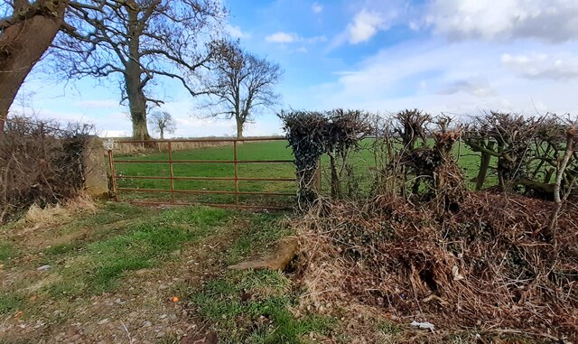
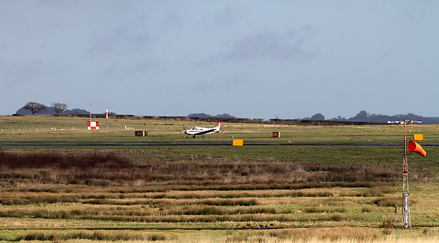
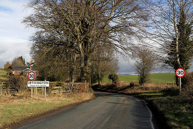
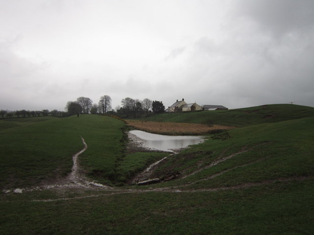
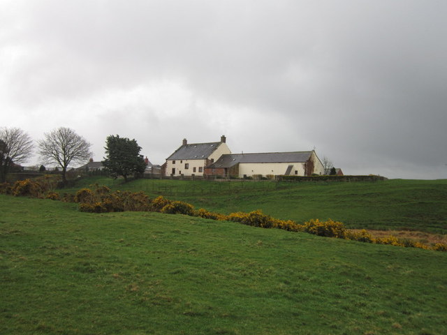
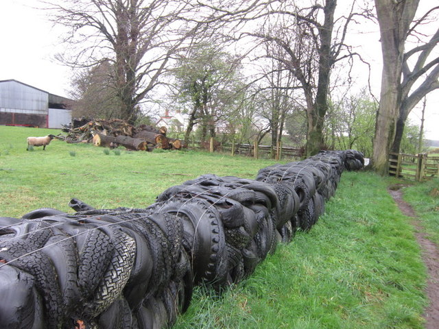
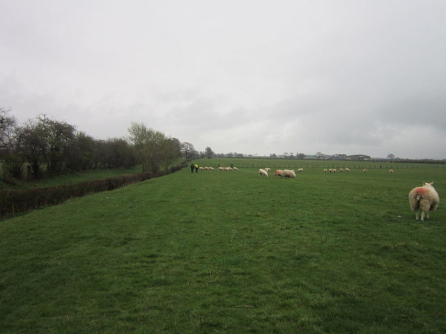
Stanegate Images
Images are sourced within 2km of 54.937/-2.82 or Grid Reference NY4760. Thanks to Geograph Open Source API. All images are credited.


Stanegate is located at Grid Ref: NY4760 (Lat: 54.937, Lng: -2.82)
Administrative County: Cumbria
District: Carlisle
Police Authority: Cumbria
What 3 Words
///appraised.sagging.thick. Near Brampton, Cumbria
Nearby Locations
Related Wikis

RAF Crosby-on-Eden
Royal Air Force Crosby-on-Eden, or more simply RAF Crosby-on-Eden, is a former Royal Air Force station located 5.8 miles (9.3 km) north east of Carlisle...
Carlisle Lake District Airport
Carlisle Lake District Airport (IATA: CAX, ICAO: EGNC) is a regional airport located 5 NM (9.3 km; 5.8 mi) east north-east of Carlisle, England. Due to...

Milecastle 60
Milecastle 60 (High Strand) was one of a series of Milecastles or small fortlets built at intervals of approximately one Roman mile along Hadrian's Wall...
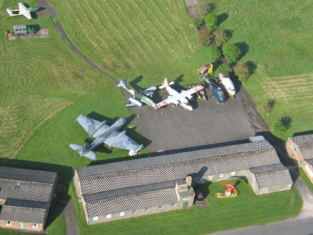
Solway Aviation Museum
The Solway Aviation Museum is an aviation museum located at Carlisle Lake District Airport in Cumbria. == About == The Museum is run by The Solway Aviation...

Milecastle 59
Milecastle 59 (Old Wall) was a milecastle on Hadrian's Wall (grid reference NY48546174). == Description == Milecastle 59 is on level ground 450 metres...

Crosby-on-Eden
Crosby-on-Eden is the combined name for two small villages, High Crosby and Low Crosby, within the civil parish of Stanwix Rural near Carlisle, in the...

Ruleholme
Ruleholme is a small hamlet on the A689 road and the River Irthing, near the village of Irthington, in the City of Carlisle district, in the English county...

Laversdale
Laversdale is a village in Cumbria, England, situated to the north of Carlisle Lake District Airport. In 1870-72 the township had a population of 428....
Related Videos

Walking Hadrian's Wall: Day 4
Day four of our walk along the route of Hadrian's Wall from east to west.

Solway Military Trail
An introduction to the Solway Military Trail taking in places of interest in Cumbria and Dumfries and Galloway.


Welcome to the Solway Aviation Museum
The Solway Aviation Museum is home to a collection of aircraft, aviation artifacts and displays reflecting Britain's position as a ...
Nearby Amenities
Located within 500m of 54.937,-2.82Have you been to Stanegate ?
Leave your review of Stanegate below (or comments, questions and feedback).