Watchclose Woods
Wood, Forest in Cumberland Carlisle
England
Watchclose Woods

Watchclose Woods is a stunning woodland area located in Cumberland, England. Spanning over a vast expanse of approximately 200 acres, this enchanting forest is known for its natural beauty and diverse range of flora and fauna. The woods are situated on the outskirts of the charming town of Cumberland, making it easily accessible for nature enthusiasts and locals alike.
The woodland is characterized by its dense canopy of towering trees, providing shade and shelter to the myriad of wildlife that call this forest home. Visitors can expect to encounter a rich variety of plant species, including oak, beech, and birch trees, which create a vibrant tapestry of colors throughout the seasons. The forest floor is adorned with an array of wildflowers, adding to the picturesque scenery.
Watchclose Woods is renowned for its tranquil ambiance, offering a peaceful retreat from the hustle and bustle of everyday life. As visitors wander through the winding paths, they may chance upon small streams and ponds, adding to the allure of the natural surroundings.
Wildlife enthusiasts will be delighted by the diverse animal population that inhabits the woods. Birdwatchers can spot a multitude of species, such as woodpeckers, owls, and various songbirds. Squirrels scurry through the treetops, while rabbits and deer occasionally make appearances, adding a touch of wilderness to the landscape.
With its natural beauty, serenity, and abundant wildlife, Watchclose Woods provides the perfect opportunity for outdoor activities such as hiking, picnicking, and photography. Whether one seeks solitude or a chance to connect with nature, this woodland sanctuary in Cumberland promises an unforgettable experience for all who visit.
If you have any feedback on the listing, please let us know in the comments section below.
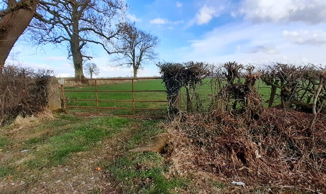
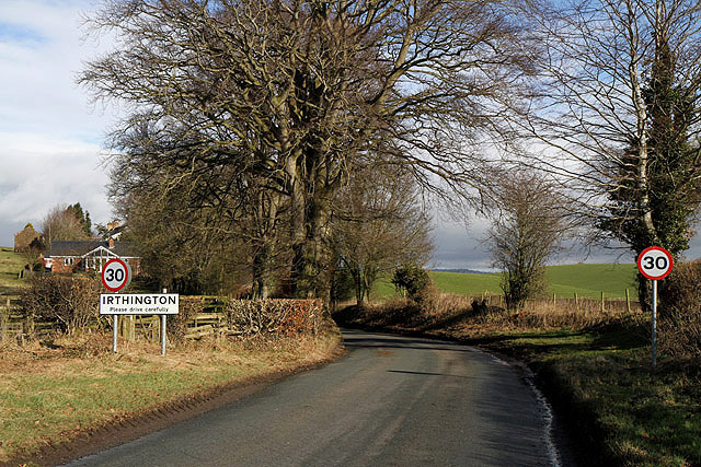
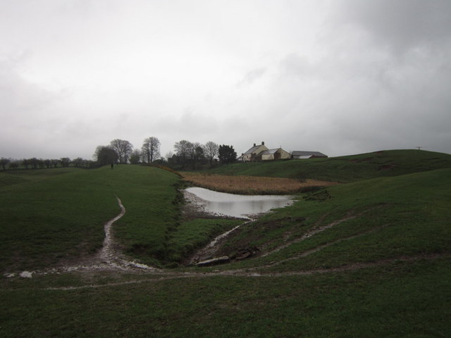
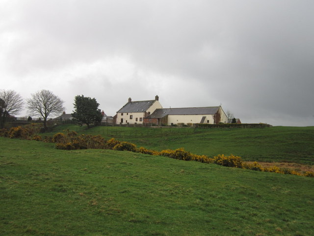
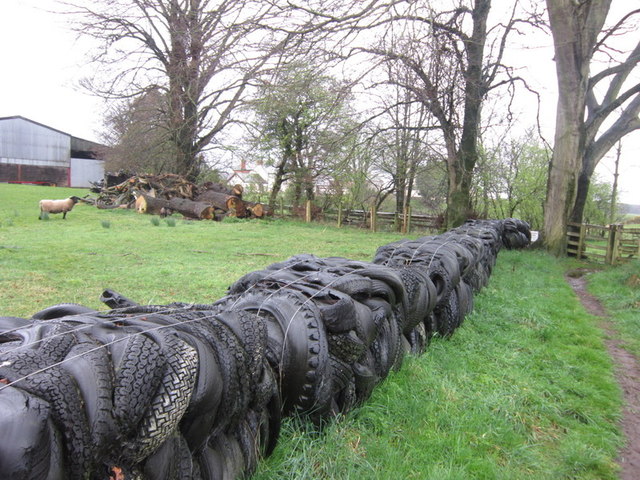
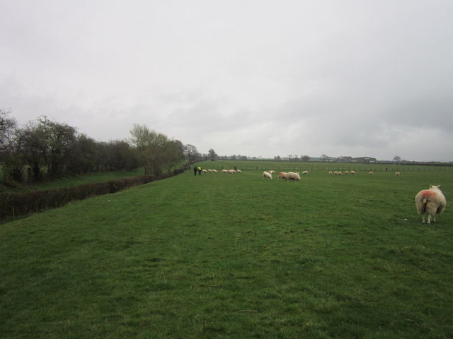
Watchclose Woods Images
Images are sourced within 2km of 54.938281/-2.8155734 or Grid Reference NY4760. Thanks to Geograph Open Source API. All images are credited.


Watchclose Woods is located at Grid Ref: NY4760 (Lat: 54.938281, Lng: -2.8155734)
Administrative County: Cumbria
District: Carlisle
Police Authority: Cumbria
What 3 Words
///agreement.climate.vowing. Near Brampton, Cumbria
Nearby Locations
Related Wikis

RAF Crosby-on-Eden
Royal Air Force Crosby-on-Eden, or more simply RAF Crosby-on-Eden, is a former Royal Air Force station located 5.8 miles (9.3 km) north east of Carlisle...
Carlisle Lake District Airport
Carlisle Lake District Airport (IATA: CAX, ICAO: EGNC) is a regional airport located 5 NM (9.3 km; 5.8 mi) east north-east of Carlisle, England. Due to...
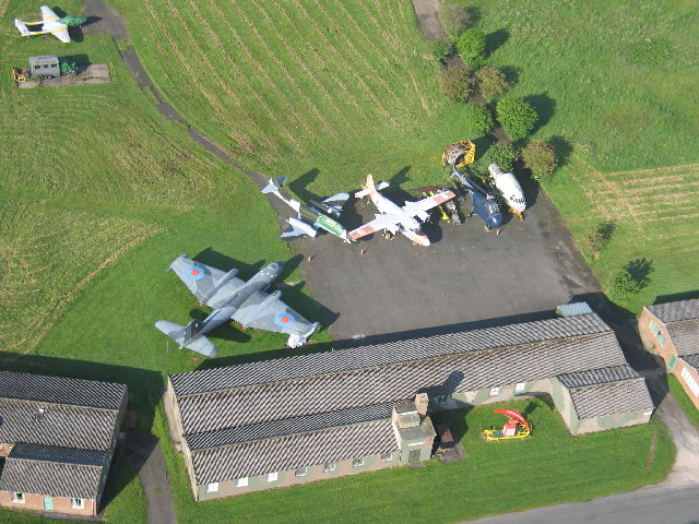
Solway Aviation Museum
The Solway Aviation Museum is an aviation museum located at Carlisle Lake District Airport in Cumbria. == About == The Museum is run by The Solway Aviation...

Milecastle 60
Milecastle 60 (High Strand) was one of a series of Milecastles or small fortlets built at intervals of approximately one Roman mile along Hadrian's Wall...

Milecastle 59
Milecastle 59 (Old Wall) was a milecastle on Hadrian's Wall (grid reference NY48546174). == Description == Milecastle 59 is on level ground 450 metres...

Ruleholme
Ruleholme is a small hamlet on the A689 road and the River Irthing, near the village of Irthington, in the City of Carlisle district, in the English county...

Laversdale
Laversdale is a village in Cumbria, England, situated to the north of Carlisle Lake District Airport. In 1870-72 the township had a population of 428....
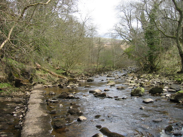
River Gelt
The River Gelt is a river in Cumbria, England and a tributary of the River Irthing. The source of the Gelt is close to Cumbria's border with Northumberland...
Nearby Amenities
Located within 500m of 54.938281,-2.8155734Have you been to Watchclose Woods?
Leave your review of Watchclose Woods below (or comments, questions and feedback).