Stanegate
Heritage Site in Northumberland
England
Stanegate
Stanegate is a historic location situated in the county of Northumberland, England. It is renowned for its significance as a heritage site, attracting visitors from around the world. The name "Stanegate" is derived from the Old English words "stane" and "geat," meaning "stone road."
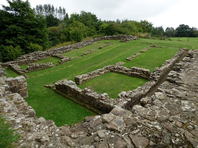
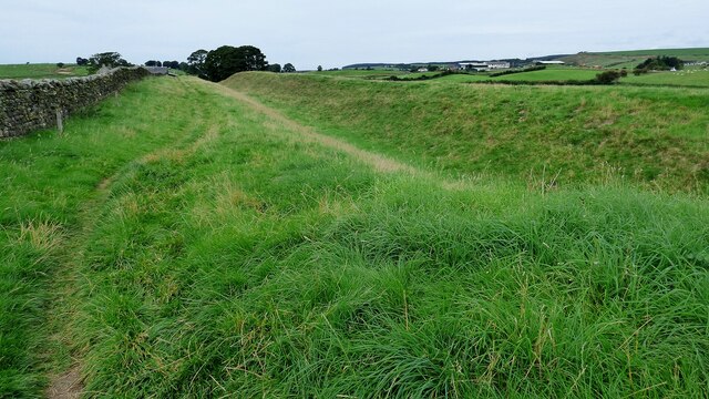
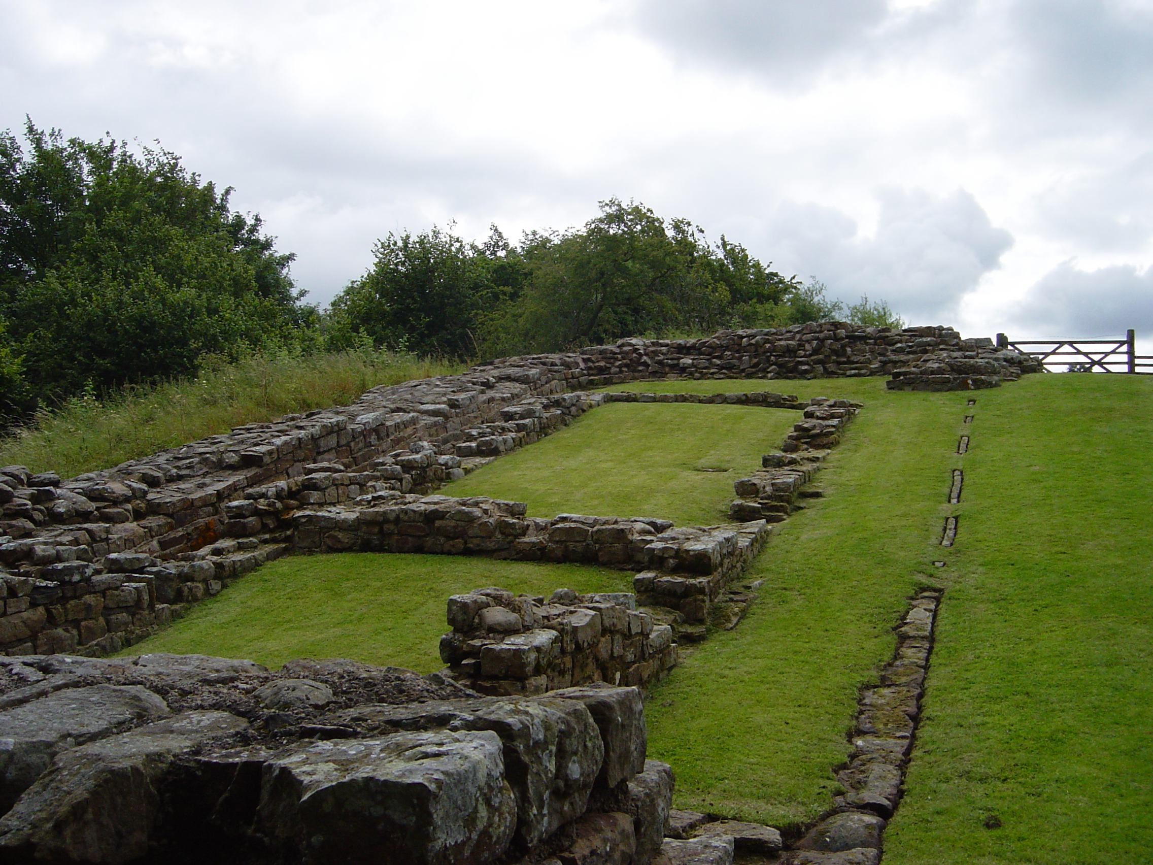
The site holds immense historical importance as it was once part of the Roman Empire's frontier system, Hadrian's Wall. Stanegate served as a military road that ran parallel to the northern frontier of the wall. It connected the forts of Corbridge and Carlisle, facilitating the movement of troops, supplies, and communication between these key Roman military installations.
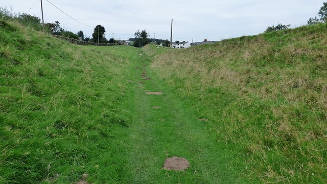
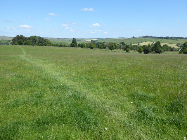
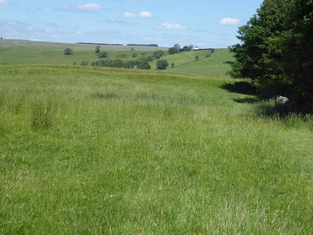
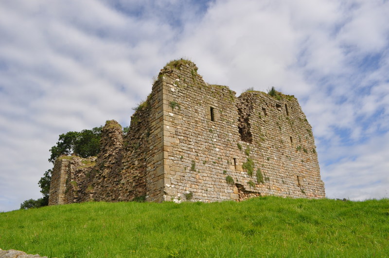
Today, the remains of Stanegate provide a glimpse into the Roman occupation of Britain. Visitors can explore the well-preserved sections of the road, which are still visible in various stretches. These remnants act as a tangible link to the past, allowing visitors to appreciate the engineering prowess of the Romans and understand the challenges they faced in constructing such a complex infrastructure.
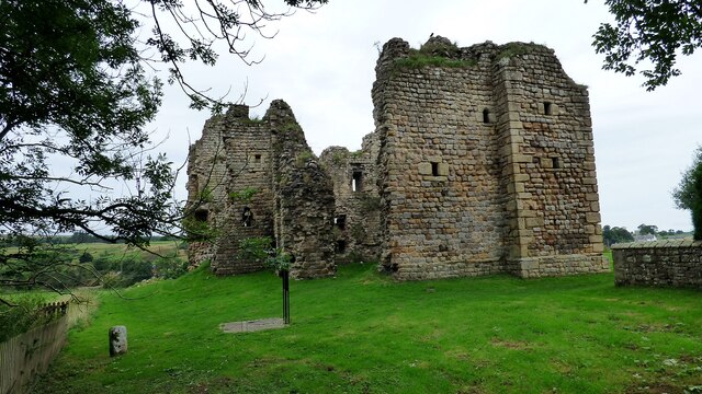
In addition to the road itself, Stanegate offers visitors the opportunity to explore nearby Roman forts, such as Vindolanda and Birdoswald. These forts provide an insight into the daily lives of Roman soldiers stationed along the Stanegate, showcasing their living quarters, defensive structures, and weaponry.
Stanegate, Northumberland, is not only a testament to the Roman Empire's presence in Britain but also a place of immense historical and cultural significance. It serves as a reminder of the region's past and attracts history enthusiasts, archaeologists, and curious visitors keen to unravel the secrets of this ancient site.
If you have any feedback on the listing, please let us know in the comments section below.
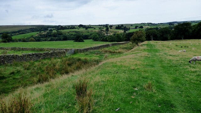
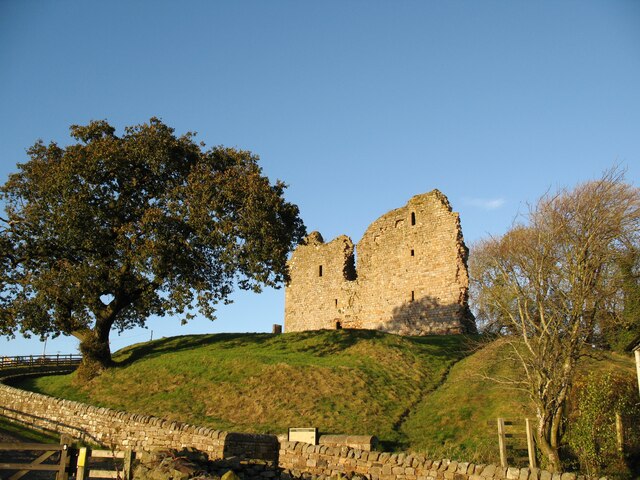
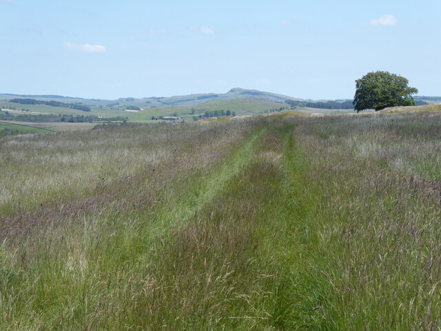
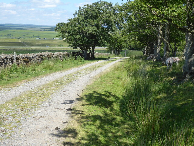
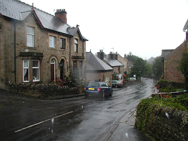
Stanegate Images
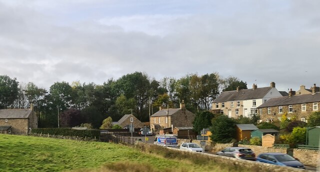
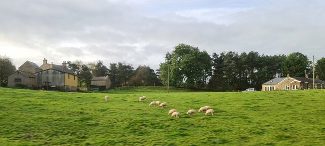
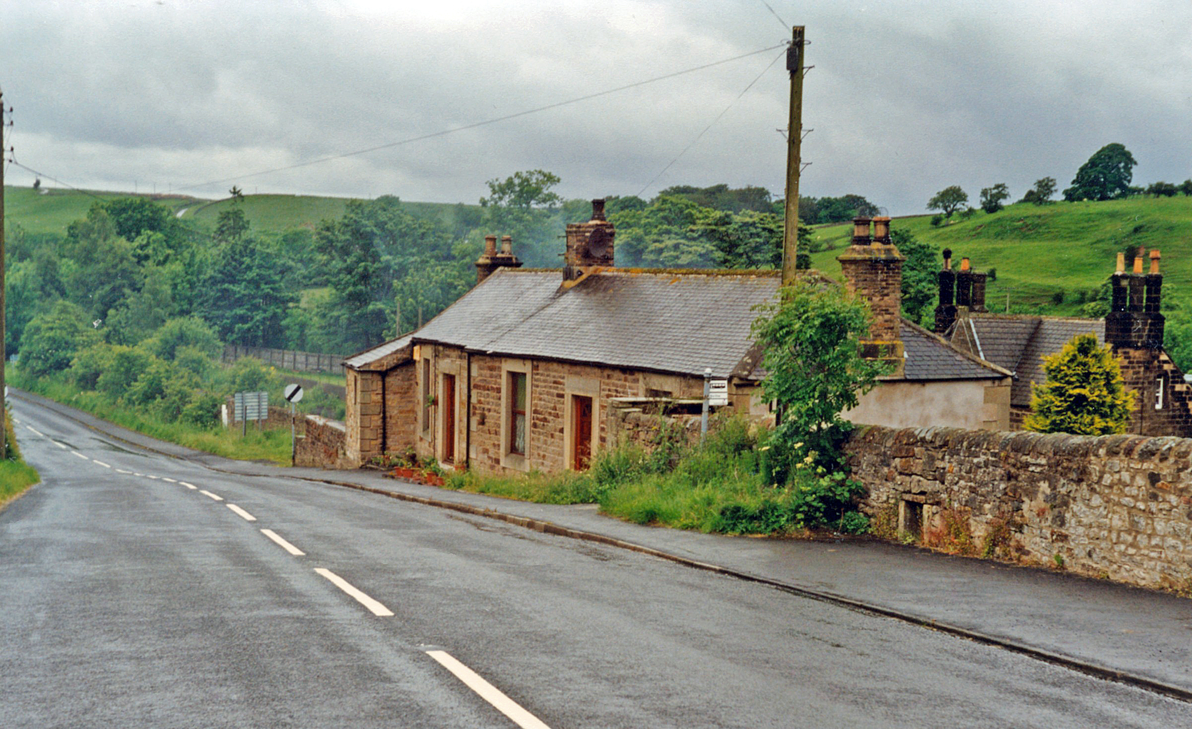
Images are sourced within 2km of 54.983/-2.555 or Grid Reference NY6465. Thanks to Geograph Open Source API. All images are credited.


Stanegate is located at Grid Ref: NY6465 (Lat: 54.983, Lng: -2.555)
What 3 Words
///monument.videos.evidently. Near Greenhead, Northumberland
Nearby Locations
Related Wikis


Related Videos

Hadrian’s Wall at Walltown Crags
A lovely walk along side a well preserved section of Hadrian's Wall.

Hadrian’s Wall #wachtzeit
Some of my favourite bits from my #wachtzeit day - was great to stream live on Instagram- here's the 'bonus' content #myday ...
Walking Hadrian’s Wall #outtakes #bloopers #hadrianswall
Not all goes to plan whilst making our shot videos along the wall.

Melihat Roman Army Museum Hadrian’s Wall #northumberland #england #travelblogger #explore #holiday
Roman Army Museum Hadrian's Wall ini ada Northumberland England UK . Extensive museum which gives ...
Nearby Amenities
Located within 500m of 54.983,-2.555Have you been to Stanegate ?
Leave your review of Stanegate below (or comments, questions and feedback).