St John's Jerusalem

Heritage Site in Kent Dartford

England

St John's Jerusalem

Ladywood Road, Darenth, near Dartford, at sunset Ladywood Road in the village of Darenth, in north Kent.  This image was taken at sunset on an October day.
Ladywood Road, Darenth, near Dartford, at sunset Credit: Malc McDonald

St John's Jerusalem, located in Kent, England, is a notable heritage site that holds significant historical and cultural value. The site is a former priory, which was established in the late 12th century by the Order of St John, a religious military order devoted to caring for the sick and injured. The priory was built on the site of an earlier chapel, which was believed to have been founded by a Crusader.

The architecture of St John's Jerusalem reflects its rich history. The priory features a combination of medieval and Tudor elements, showcasing the transition of architectural styles over the centuries. The structure consists of a central hall, a chapel, and a tower, with the original medieval kitchen still intact. The chapel is particularly noteworthy for its beautiful stained glass windows and intricate carved wooden screens.

Over the years, St John's Jerusalem has undergone various uses and restorations. During the dissolution of the monasteries in the 16th century, the priory was seized by the crown and subsequently converted into a private residence. In the 19th century, it was used as a school before being converted into almshouses for retired members of the Order of St John.

Today, St John's Jerusalem is open to the public as a heritage site. Visitors can explore the priory's historic rooms, admire the architectural details, and learn about the Order of St John's rich history. The site also hosts events and exhibitions, providing a fascinating glimpse into the past and preserving an important piece of Kent's heritage.

If you have any feedback on the listing, please let us know in the comments section below.

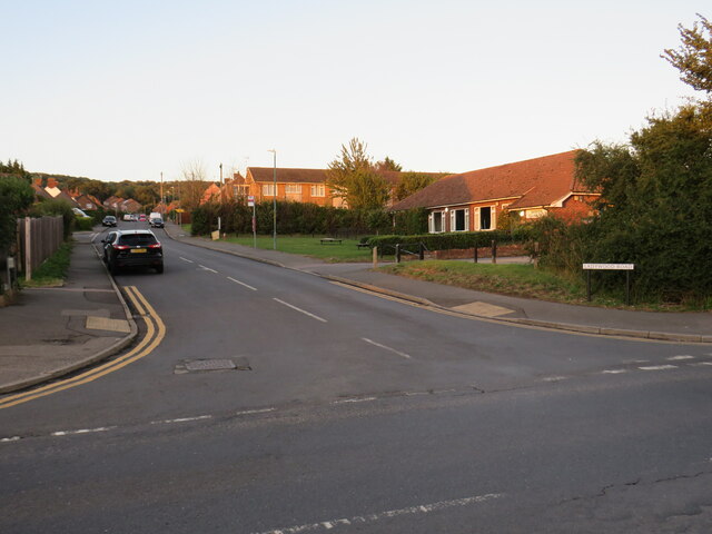
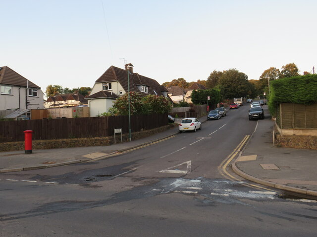
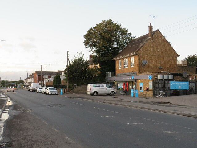
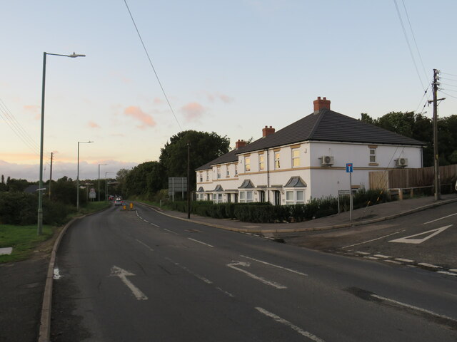
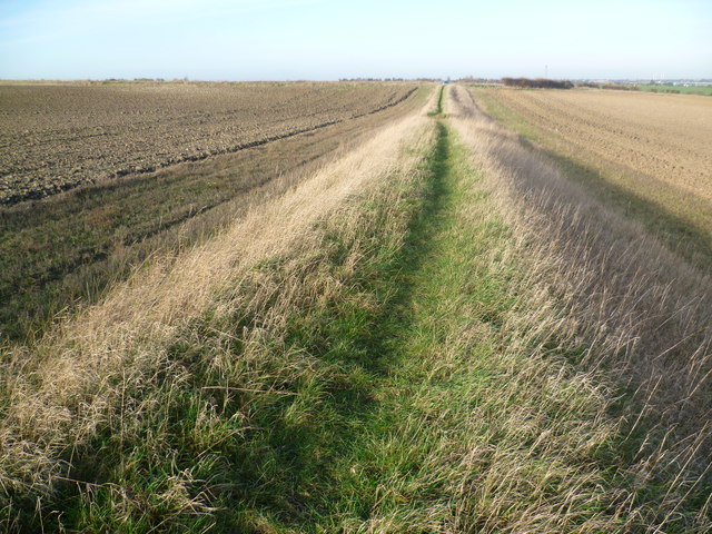
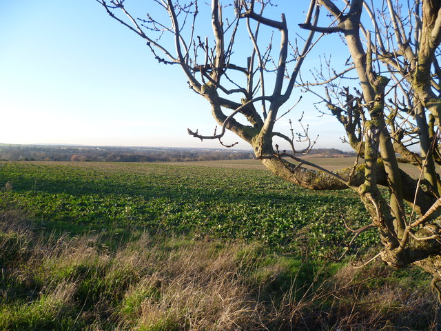
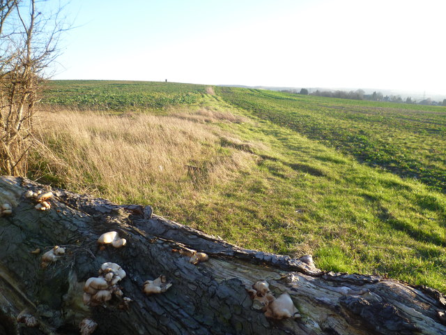
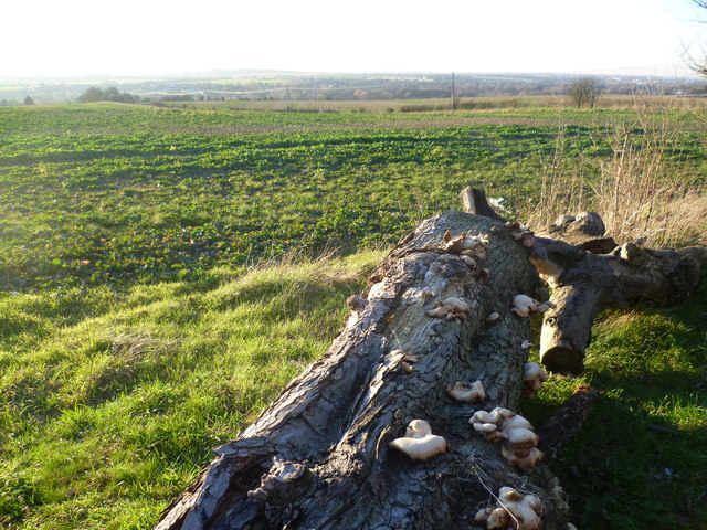
St John's Jerusalem Images

Images are sourced within 2km of 51.41/0.239 or Grid Reference TQ5570. Thanks to Geograph Open Source API. All images are credited.

Ladywood Road, Darenth, near Dartford, at sunset Ladywood Road in the village of Darenth, in north Kent.  This image was taken at sunset on an October day.
Ladywood Road, Darenth, near Dartford, at sunset
Ladywood Road in the village of Darenth, in north Kent. This image was taken at sunset on an October day.
Hill Rise, Darenth Hill Rise in the village of Darenth, in north Kent, photographed at dusk on an October day.
Hill Rise, Darenth
Hill Rise in the village of Darenth, in north Kent, photographed at dusk on an October day.
Watchgate, Darenth, near Dartford Watchgate forms part of the route of the B260 road as it passes through the village of Dareth.  A Co-op local convenience store stands in the opposite side of the road.
Watchgate, Darenth, near Dartford
Watchgate forms part of the route of the B260 road as it passes through the village of Dareth. A Co-op local convenience store stands in the opposite side of the road.
Green Street, Darenth Green Street, heading out of the north Kent village of Darenth, forms part of the route of the B260 road.

This image was taken at dusk on an October evening, as the daylight was fading.
Green Street, Darenth
Green Street, heading out of the north Kent village of Darenth, forms part of the route of the B260 road. This image was taken at dusk on an October evening, as the daylight was fading.
Footpath towards Green Road Off St Margaret's Road.
Footpath towards Green Road
Off St Margaret's Road.
Cereal crop off St Margaret's Road
St Margaret's Road Towards South Darenth.
St Margaret's Road
Towards South Darenth.
Roman Villa Road Heading north towards Darenth.
Roman Villa Road
Heading north towards Darenth.
The M25 southbound The M25 is a 117 mile orbital motorway that encircles London. It was constructed between 1975 and 1986.
The motorway is not a continuous loop as a section to the East of London at The Dartford Crossing is an A-Road.
Wikipedia; <span class="nowrap"><a title="http://en.wikipedia.org/wiki/M25_motorway" rel="nofollow ugc noopener" href="http://en.wikipedia.org/wiki/M25_motorway">Link</a><img style="margin-left:2px;" alt="External link" title="External link - shift click to open in new window" src="https://s1.geograph.org.uk/img/external.png" width="10" height="10"/></span>
The M25 southbound
The M25 is a 117 mile orbital motorway that encircles London. It was constructed between 1975 and 1986. The motorway is not a continuous loop as a section to the East of London at The Dartford Crossing is an A-Road. Wikipedia; LinkExternal link
Sutton at Hone from Ship Lane Ship Lane is to the right of the bank as it reaches the outskirts of Sutton at Hone. Homefield Farm is to the right and the green shed is Homefield Garage. The hill on the horizon to the left is Badger's Mount on the other side of the Darent Valley.
Sutton at Hone from Ship Lane
Ship Lane is to the right of the bank as it reaches the outskirts of Sutton at Hone. Homefield Farm is to the right and the green shed is Homefield Garage. The hill on the horizon to the left is Badger's Mount on the other side of the Darent Valley.
View from Ship Lane, Sutton at Hone Ship Lane runs from Sutton at Hone to Swanley. This view is just outside the former. The chimney which can just be made out on the horizon to the right is Littlebrook Power Station - see <a title="https://www.geograph.org.uk/photo/2552306" href="https://www.geograph.org.uk/photo/2552306">Link</a>
View from Ship Lane, Sutton at Hone
Ship Lane runs from Sutton at Hone to Swanley. This view is just outside the former. The chimney which can just be made out on the horizon to the right is Littlebrook Power Station - see Link
Railway line between Farningham Road and Swanley A footpath leads from Ship Lane between fields, up an embankment and across the railway line between Farningham Road and Swanley. This view is towards Swanley. The line dates from 1860 and it was electrified in 1939. Until the opening of St Pancras International in 2007, Eurostars ran along this line.
Railway line between Farningham Road and Swanley
A footpath leads from Ship Lane between fields, up an embankment and across the railway line between Farningham Road and Swanley. This view is towards Swanley. The line dates from 1860 and it was electrified in 1939. Until the opening of St Pancras International in 2007, Eurostars ran along this line.
Railway line between Swanley and Farningham Road A footpath leads from Ship Lane between fields, up an embankment and across the railway line between Farningham Road and Swanley. This view is towards Farningham Road and the bridge ahead is a farm access track. The line dates from 1860 and it was electrified in 1939. Until the opening of St Pancras International in 2007, Eurostars ran along this line.
Railway line between Swanley and Farningham Road
A footpath leads from Ship Lane between fields, up an embankment and across the railway line between Farningham Road and Swanley. This view is towards Farningham Road and the bridge ahead is a farm access track. The line dates from 1860 and it was electrified in 1939. Until the opening of St Pancras International in 2007, Eurostars ran along this line.
Footpath towards Ship Lane A footpath leads from Ship Lane between fields, up an embankment and across the railway line between Farningham Road and Swanley. This view is from the foot of the embankment back towards Ship Lane.
Footpath towards Ship Lane
A footpath leads from Ship Lane between fields, up an embankment and across the railway line between Farningham Road and Swanley. This view is from the foot of the embankment back towards Ship Lane.
View from Holmesdale Hill, South Darenth This view looks across to the Darent Valley. On the far distant horizon to the left is Shooters Hill.
View from Holmesdale Hill, South Darenth
This view looks across to the Darent Valley. On the far distant horizon to the left is Shooters Hill.
Footpath leading from Gill's Road The old tree trunk with its fine collection of fungi is presumably intended to stop the footpath being used by anyone other than pedestrians.
Footpath leading from Gill's Road
The old tree trunk with its fine collection of fungi is presumably intended to stop the footpath being used by anyone other than pedestrians.
View from Gill's Road The old tree trunk with its fine collection of fungi is presumably intended to stop a footpath being used by anyone other than pedestrians. The telegraph poles ahead are along Holmesdale Hill. Beyond that is the Darent Valley.
View from Gill's Road
The old tree trunk with its fine collection of fungi is presumably intended to stop a footpath being used by anyone other than pedestrians. The telegraph poles ahead are along Holmesdale Hill. Beyond that is the Darent Valley.
Churchill Road, Horton Kirby
Show me another place!

St John's Jerusalem is located at Grid Ref: TQ5570 (Lat: 51.41, Lng: 0.239)

Administrative County: Kent

District: Dartford

Police Authority: Kent

What 3 Words

///enter.lung.chase. Near Darenth, Kent

Related Wikis

St John's Jerusalem

St John's Jerusalem or Sutton-at-Hone Preceptory is a National Trust property at Sutton-at-Hone, Kent, England which includes the 13th century chapel of...

Sutton-at-Hone

Sutton-at-Hone is a village in the civil parish of Sutton-at-Hone and Hawley in the Borough of Dartford in Kent, England. It is located 3.5 miles south...

Sutton-at-Hone and Hawley

Sutton-at-Hone and Hawley is a civil parish within the Borough of Dartford in Kent, England. It lies to the south of the urban part of the Borough, and...

South Darenth

South Darenth is a village in the civil parish of Horton Kirby and South Darenth in the Sevenoaks District of Kent, England. It is located 4.2 miles...

Farningham Road railway station

Farningham Road railway station is on the Chatham Main Line in England, serving the villages of Farningham, Sutton-at-Hone, Horton Kirby and South Darenth...

Church of St Margaret of Antioch, Darenth

The Church of St Margaret of Antioch at Darenth, Kent, is a church with Norman origins thought to be the third oldest in Kent and the sixth oldest in the...

Dartford (UK Parliament constituency)

Dartford is a constituency in Kent represented in the House of Commons of the UK Parliament since 2010 by Gareth Johnson of the Conservative Party. It...

Horton Kirby Boys Home railway station

Horton Kirby Boys Home also known as Home for Little Boys was a private railway station opened in 1870 by the London, Chatham and Dover Railway to serve...

Nearby Amenities

Located within 500m of 51.41,0.239
Bench: no
Layby: no
Public Transport: stop_position
Shelter: no
Lat/Long: 51.4119727/0.2354488
Sutton at Hone
Place: village
Source: npe
Wikidata: Q7650204
Lat/Long: 51.4109769/0.2353934
Turning Circle
Lat/Long: 51.4078284/0.2346279
Turning Circle
Lat/Long: 51.4067688/0.2353941
Turning Circle
Lat/Long: 51.4080546/0.2359266
Barrier: kissing_gate
Material: metal
Note: National Trust sign on gate, suggests the land to the west is owned by them.
Lat/Long: 51.4117757/0.24349
Barrier: kissing_gate
Foot: yes
Material: wood
Lat/Long: 51.4113378/0.2365925
Post Box
Collection Times: Mo-Fr 09:00; Sa 07:00
Operator: Royal Mail
Post Box Apertures: 1
Post Box Manufacturer: Machan, Scotland
Post Box Type: lamp
Ref: DA4 190D
Royal Cypher: EIIR
Royal Cypher Wikidata: Q33102113
Source: survey;photo
Lat/Long: 51.4090362/0.2368601
Crossing
Crossing: traffic_signals
Crossing Island: no
Crossing Ref: pelican
Lat/Long: 51.4113649/0.2356656
Place Of Worship
Sutton at Hone Methodist Church
Denomination: methodist
Religion: christian
Lat/Long: 51.4060137/0.2368248
Bus Stop
Sutton At Hone Primary School
Bench: yes
Layby: yes
Naptan AtcoCode: 2400A019430A
Naptan Bearing: S
Naptan CommonName: Sutton At Hone Primary School
Naptan Indicator: opp
Naptan Landmark: Sutton At Hone Primary School
Naptan NaptanCode: kntatwdm
Naptan Street: Main Road
Public Transport: platform
Shelter: yes
Source: naptan_import;survey
Lat/Long: 51.4108827/0.2359498
Bus Stop
Balmoral Road
Bus: yes
Naptan AtcoCode: 2400A019440A
Naptan Bearing: S
Naptan CommonName: Post Office
Naptan Indicator: opp
Naptan Landmark: Sutton At Hone Po
Naptan NaptanCode: kntatwdp
Naptan Street: Main Rd
Naptan Verified: yes
Public Transport: platform
Route Ref: 414;414A
Source: naptan_import
Towards: South Darenth
Lat/Long: 51.4083088/0.23753
Bus Stop
Ship Lane
Bus: yes
Naptan AtcoCode: 2400A019450A
Naptan Bearing: S
Naptan CommonName: The Ship
Naptan Indicator: opp
Naptan Landmark: Op The Ship Ph
Naptan NaptanCode: kntatwdt
Naptan Street: Main Rd
Naptan Verified: no
Public Transport: platform
Source: naptan_import
Lat/Long: 51.406093/0.2377094
Bus Stop
Ship Lane
Bench: yes
Bus: yes
Naptan AtcoCode: 2400A019530A
Naptan Bearing: N
Naptan CommonName: The Ship
Naptan Indicator: adj
Naptan Landmark: Os The Ship
Naptan NaptanCode: kntatwgw
Naptan Street: Main Road
Public Transport: platform
Shelter: yes
Source: naptan_import;survey
Lat/Long: 51.4063996/0.2376096
Bus Stop
Balmoral Road
Bus: yes
Layby: no
Naptan AtcoCode: 2400A019540A
Naptan Bearing: N
Naptan CommonName: Post Office
Naptan Indicator: adj
Naptan Landmark: Sutton At Hone Po
Naptan NaptanCode: kntatwja
Naptan Street: Main Road
Public Transport: platform
Route Ref: 414;414A;414B
Source: naptan_import
Lat/Long: 51.4088015/0.2371157
Bus Stop
Sutton At Hone Primary School
Bench: no
Layby: no
Naptan AtcoCode: 2400A019550A
Naptan Bearing: N
Naptan CommonName: Sutton At Hone Primary School
Naptan Indicator: adj
Naptan Landmark: Sutton At Hone Primary School
Naptan NaptanCode: kntatwjd
Naptan Street: Dartford Road
Public Transport: platform
Shelter: no
Source: naptan_import
Lat/Long: 51.4119736/0.235408
Sutton Lakes
Natural: water
Lat/Long: 51.4072743/0.2430683
Crossing
Crossing: uncontrolled
Crossing Ref: zebra
Lat/Long: 51.4062098/0.2376522
Ship Lane
Bus: yes
Public Transport: stop_position
Lat/Long: 51.4063991/0.2376663
Balmoral Road
Bus: yes
Public Transport: stop_position
Lat/Long: 51.408819/0.2371779
Bench
Backrest: no
Colour: brown
Material: wood
Seats: 3
Lat/Long: 51.4102201/0.2364513
Bench
Backrest: no
Colour: brown
Material: wood
Seats: 3
Lat/Long: 51.4102381/0.236379
Public Transport: stop_position
Lat/Long: 51.4108933/0.2358511
Fixme: incomplete
Lat/Long: 51.4115478/0.234934
Fixme: incomplete
Lat/Long: 51.4110684/0.2326997
Waste Basket
Waste: dog_excrement
Lat/Long: 51.4095501/0.2341351
Ship Lane
Bus: yes
Public Transport: stop_position
Lat/Long: 51.4061019/0.2376411
Balmoral Road
Bus: yes
Public Transport: stop_position
Lat/Long: 51.4082992/0.2374604
Fixme: Where does ths run to?
Lat/Long: 51.4141902/0.2396782
Note: This presumably joins the nearby stream or lake
Lat/Long: 51.4121944/0.2410555
Sutton School
Location: outdoor
Operator: UK Power Networks
Power: substation
Ref: 316033
Lat/Long: 51.4113822/0.2363543
Note: It looks like there was a ford here, but it has become disused now there are the two bridges.
Lat/Long: 51.4116953/0.239074
Give Way
Lat/Long: 51.4090283/0.2369637
Street Lamp
Lat/Long: 51.4090819/0.2370764
Give Way
Lat/Long: 51.4097333/0.2364383
Fire Hydrant
Emergency: fire_hydrant
Fire Hydrant Type: underground
Lat/Long: 51.4106394/0.2359714
Addr Housenumber: 71A
Addr Street: Main Road
Lat/Long: 51.4108215/0.2360123
Entrance: main
Lat/Long: 51.4106916/0.2359987
Entrance: main
Lat/Long: 51.4107139/0.2359882
Entrance: home
Lat/Long: 51.410809/0.2359436
Entrance: main
Lat/Long: 51.4108425/0.2359279
Bench
Backrest: yes
Material: wood
Lat/Long: 51.4110679/0.235911
Cafe
Community Coffee Shop
Note: In the library
Lat/Long: 51.4111216/0.2359835
Entrance: main
Lat/Long: 51.4111065/0.2358995
Give Way
Lat/Long: 51.410683/0.2358676
Childcare
Busy Bees Pre-School
Note: In village hall. Open Mo-Fr (term time only) 9am-12.30pm
Lat/Long: 51.4113538/0.2359298
Entrance: main
Lat/Long: 51.4113698/0.2358643
Barrier: cycle_barrier
Foot: yes
Wheelchair: no
Lat/Long: 51.4075151/0.2378972
Power: pole
Lat/Long: 51.4075782/0.2377717
Street Lamp
Lat/Long: 51.4075293/0.2377677
Entrance: main
Lat/Long: 51.4076327/0.2378397
Entrance: main
Lat/Long: 51.4085373/0.2371412
Entrance: home
Lat/Long: 51.4085123/0.2371537
Entrance: home
Lat/Long: 51.4085812/0.2371192
Dartford and District Angling and Preservation Society
Alt Name: D.D.A.P.S
Note: Signed at junction of Gravel Road and Main Road. Unsure of exact location, requires survey
Website: https://www.ddaps.org/ddaps-sutton-at-hone-fishing-venue/
Lat/Long: 51.4075435/0.2398472
Riverside Fuchsias & Nurseries
Note: Signed at junction of Gravel Road and Main Road. Location is a guess based on aerial imagery, requires survey to confirm
Shop: florist
Lat/Long: 51.4086536/0.2397211
Clee Hill
Note: Signed at junction of Gravel Road and Main Road. Location is a guess based on aerial imagery, requires survey to confirm
Phone: +44 1322 866866
Website: https://www.cleehill.co.uk/
Lat/Long: 51.4077961/0.2393295
Entrance: main
Lat/Long: 51.4086208/0.2377934
Give Way
Lat/Long: 51.406356/0.2377128
Addr Housenumber: 212
Addr Street: Main Road
Lat/Long: 51.4062637/0.237516
Street Lamp
Lat/Long: 51.4056721/0.2375619
Telephone: pole
Lat/Long: 51.4056374/0.2375599
Material: wood
Power: pole
Lat/Long: 51.4057578/0.2375396
Material: wood
Power: pole
Lat/Long: 51.4065216/0.2375948
Material: wood
Power: pole
Lat/Long: 51.4061443/0.2375747
Stop
Lat/Long: 51.4058009/0.2375793
Street Lamp
Lat/Long: 51.4064204/0.2375961
Leisure: picnic_table
Lat/Long: 51.4102396/0.2341287
Playground: swing
Lat/Long: 51.4102814/0.2341012
Playground: structure
Lat/Long: 51.4102388/0.2340201
Traffic Signals
Traffic Signals Direction: backward
Lat/Long: 51.411339/0.2356747
Traffic Signals
Traffic Signals Direction: forward
Lat/Long: 51.4113926/0.2356549
The data included in this document is from www.openstreetmap.org. The data is made available under ODbL.

Have you been to St John's Jerusalem?

Leave your review of St John's Jerusalem below (or comments, questions and feedback).