St John's Well
Heritage Site in Devon
England
St John's Well
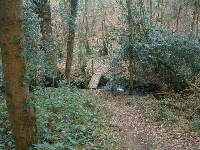
St John's Well, located in Devon, is a renowned heritage site that holds great historical and cultural significance. Situated amidst the picturesque countryside, the well is nestled in a small grove of trees, creating a peaceful and serene atmosphere for visitors.
The well itself is a natural spring that has been revered for centuries for its supposed healing properties. It is believed to have been a site of pilgrimage dating back to the medieval period, attracting people from far and wide seeking cures for various ailments. The water from the well is said to have healing qualities, and pilgrims would often collect it in small bottles or drink directly from the spring.
The well is also associated with St John the Baptist, who is believed to have blessed the water, further enhancing its reputation as a holy site. Over the years, the well has been adorned with numerous offerings and tokens of gratitude from those who believe they have been cured by its waters. These offerings range from small trinkets to handwritten notes expressing gratitude.
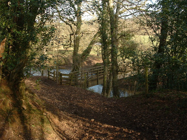
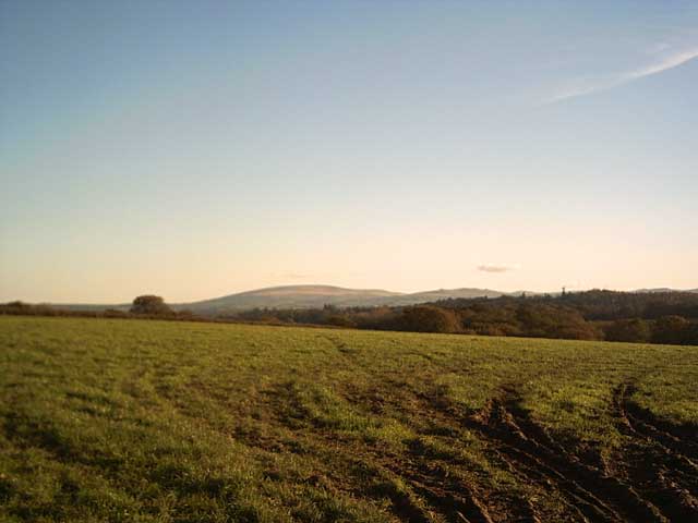
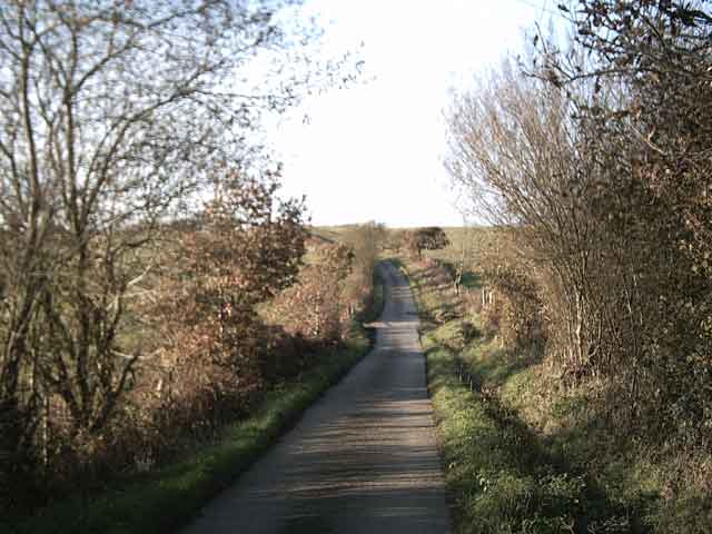
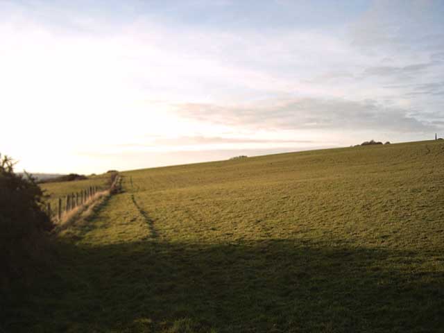
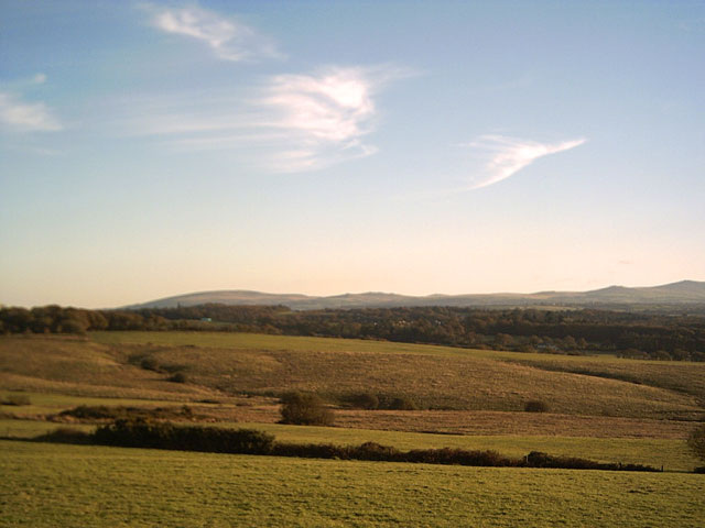
St John's Well is surrounded by lush greenery, making it an ideal spot for nature lovers and those seeking a tranquil escape. The site is well-maintained, with paths leading to the well and benches for visitors to sit and take in the peaceful surroundings.
In addition to its historical and cultural significance, St John's Well also serves as a reminder of the region's rich spiritual heritage. It continues to attract visitors who are drawn to its mystical allure and seek solace in its healing waters.
If you have any feedback on the listing, please let us know in the comments section below.
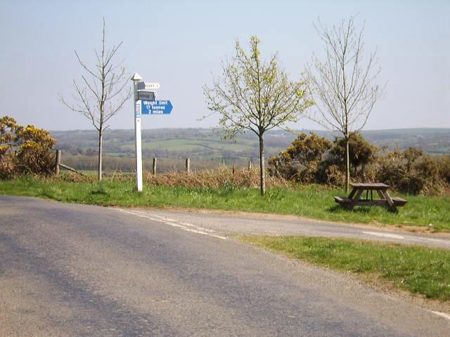
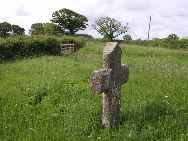
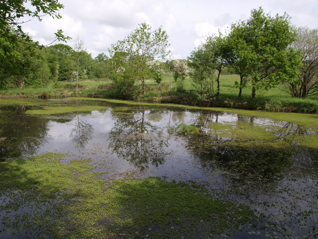
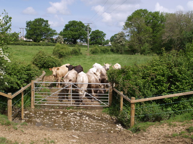
St John's Well Images
Images are sourced within 2km of 50.822/-4.052 or Grid Reference SS5504. Thanks to Geograph Open Source API. All images are credited.
![Hatherleigh: The George Seen from the town car park entrance. Hoskins [W G Hoskins, Devon, 1992] suggests this inn may have originally been the court house belonging to the abbots of Tavistock: they held the manor from circa 980 to the dissolution. Parts of the inn’s fabric are thought to date from the 15th century. It stands near the church and the site of the old market](https://s0.geograph.org.uk/photos/11/89/118964_4477d8be.jpg)
St John's Well is located at Grid Ref: SS5504 (Lat: 50.822, Lng: -4.052)
What 3 Words
///info.dearest.iteration. Near Hatherleigh, Devon
Nearby Locations
Related Wikis

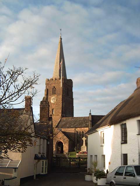
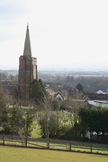
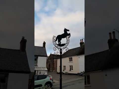
Hatherleigh
Hatherleigh is a small market town in west Devon, England. It hosts an arts festival in July, and a carnival in November featuring two flaming tar barrel...

River Lew
The River Lew can refer to either of two short rivers that lie close to each other in Devon, England. The more northerly of the two rises just south of...
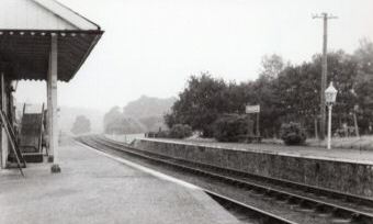
Hatherleigh railway station
Hatherleigh Railway Station was a station on the North Devon and Cornwall Junction Light Railway between Torrington and Halwill Junction, serving the town...

Monkokehampton
Monkokehampton is a village and civil parish in West Devon, England. The village lies on the River Okement, about 3 miles (4.8 km) east-north-east of Hatherleigh...
Related Videos

Walk with me- Devon #youtubeshorts #shorts #nature #uk #4k #reels #travelvlog #travel #hiking #walk
This is the first of many walking videos I have planned for this channel. This particular video was filmed in mid Devon on a lovely ...


Haterleigh Massive
Went to visit the Hatherleigh Massive today named after a guy called Lee who manage to get himself laid and no longer be a ...
Hatherleigh Village in Devon UK
I have started a tour of EV charging places in the south-west UK and Hatherleigh in Devon is my first stop! Literally on the road to ...
Nearby Amenities
Located within 500m of 50.822,-4.052Have you been to St John's Well?
Leave your review of St John's Well below (or comments, questions and feedback).