Sutton at Hone

Settlement in Kent Dartford

England

Sutton at Hone

Hill Rise, Darenth Hill Rise in the village of Darenth, in north Kent, photographed at dusk on an October day.
Hill Rise, Darenth Credit: Malc McDonald

Sutton at Hone is a charming village located in the county of Kent, England. Situated on the eastern bank of the River Darent, it is part of the Sevenoaks district and lies approximately 20 miles southeast of London. The village has a rich history, with evidence of human habitation dating back to the Neolithic period.

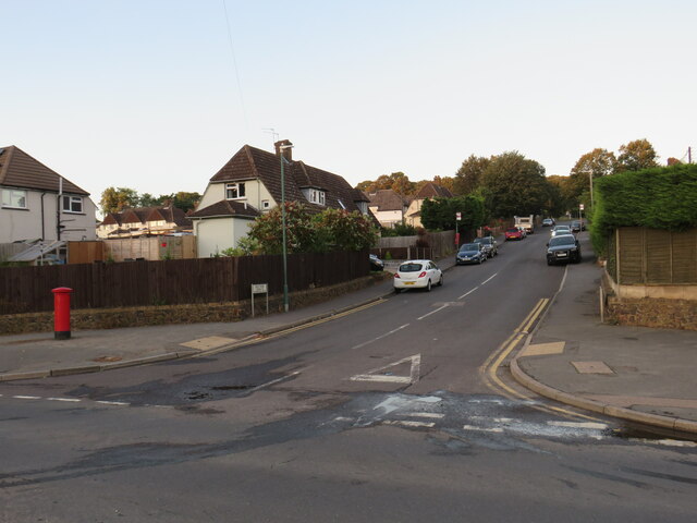
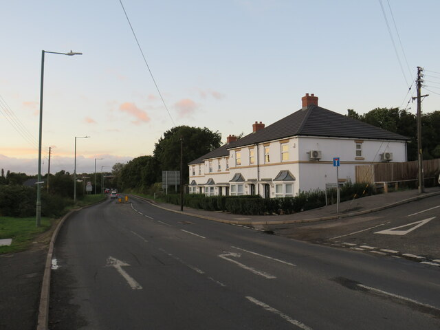
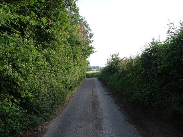
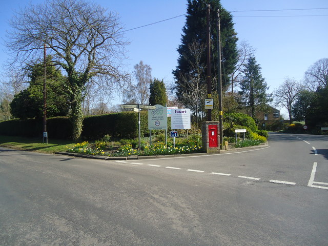
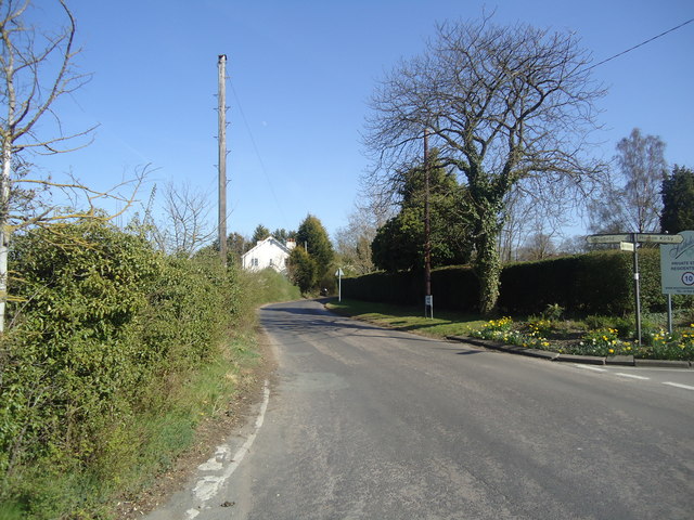
The heart of Sutton at Hone is its picturesque High Street, lined with traditional cottages and historic buildings. The village is known for its quaint and peaceful atmosphere, offering a welcome respite from the hustle and bustle of city life. The surrounding countryside is characterized by rolling green hills and beautiful woodlands, providing ample opportunities for outdoor activities such as walking, cycling, and horse riding.

One of the village's notable landmarks is St. John the Baptist Church, a Grade I listed building that dates back to the 12th century. Its stunning architecture and historical significance make it a popular attraction for both locals and visitors. Additionally, Sutton at Hone is home to several other historic buildings, including the 15th-century Sutton Place and the 17th-century Sutton Court.

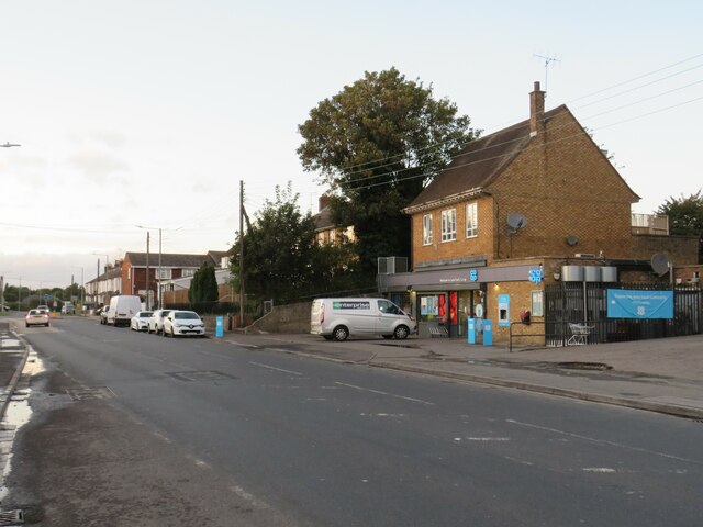
The village has a strong sense of community, with various local amenities and services available to residents. These include a primary school, a village hall, a post office, and a few shops and pubs. The nearby town of Dartford provides further amenities, including supermarkets, leisure facilities, and a train station with regular services to London and other major cities.

Overall, Sutton at Hone offers a peaceful and idyllic setting, steeped in history and surrounded by natural beauty, making it a highly desirable place to live or visit in Kent.

If you have any feedback on the listing, please let us know in the comments section below.

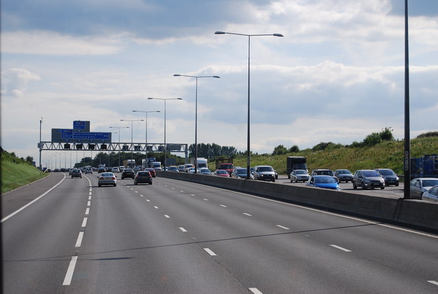
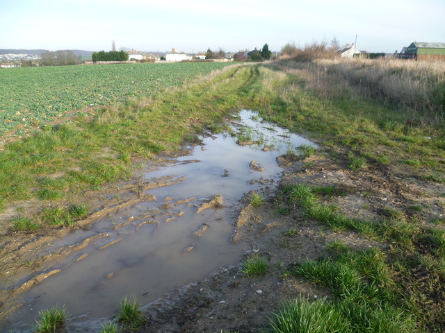
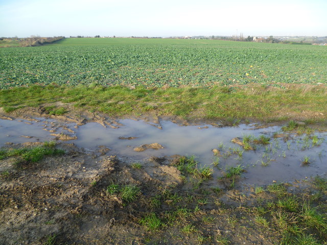
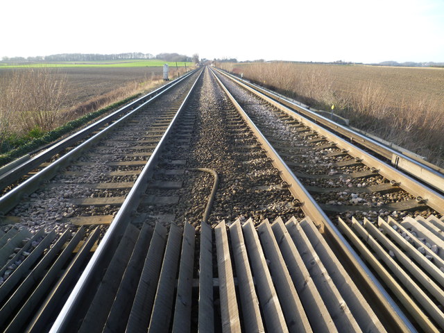
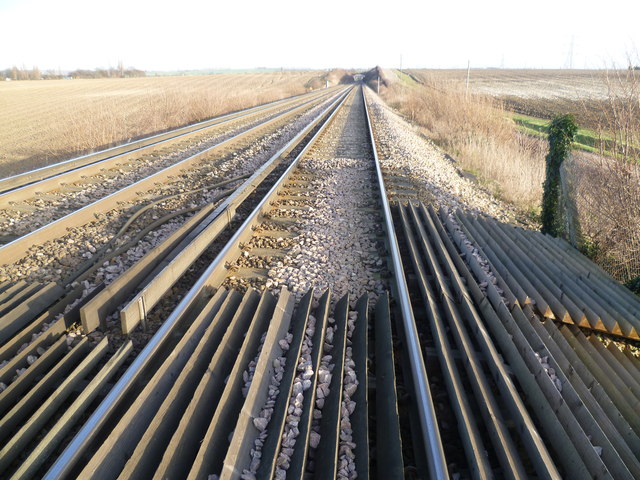
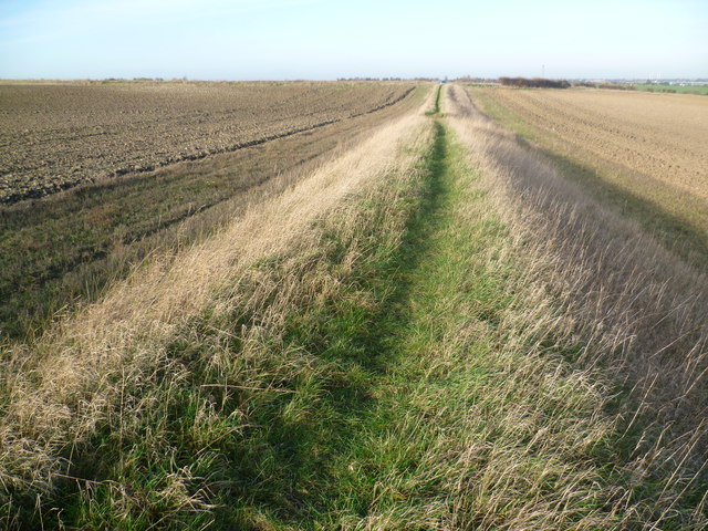
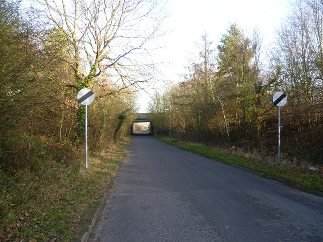
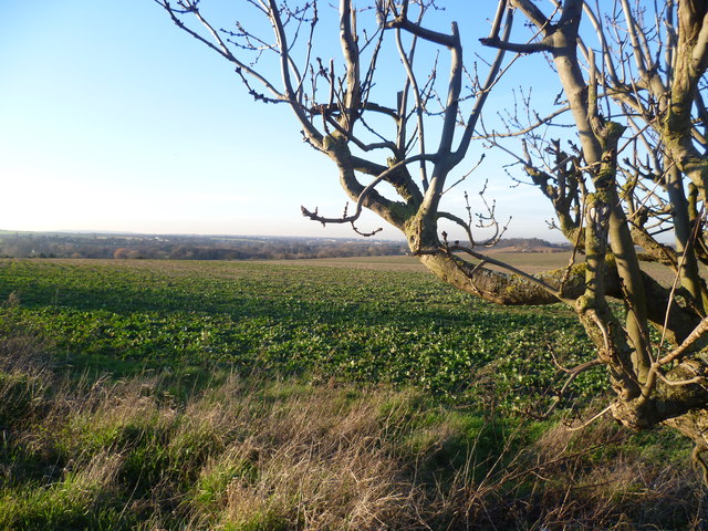
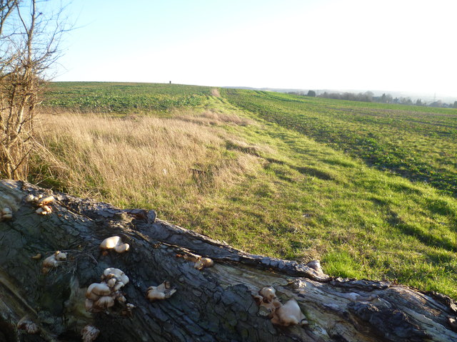
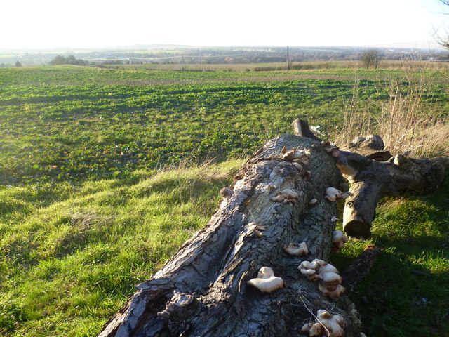
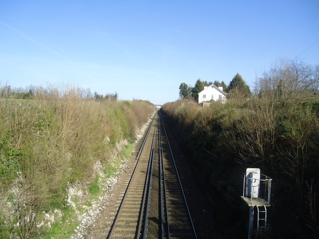
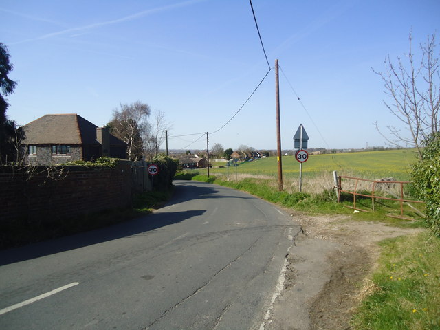
Sutton at Hone Images

Images are sourced within 2km of 51.409957/0.231499 or Grid Reference TQ5570. Thanks to Geograph Open Source API. All images are credited.

Hill Rise, Darenth Hill Rise in the village of Darenth, in north Kent, photographed at dusk on an October day.
Hill Rise, Darenth
Hill Rise in the village of Darenth, in north Kent, photographed at dusk on an October day.
Watchgate, Darenth, near Dartford Watchgate forms part of the route of the B260 road as it passes through the village of Dareth.  A Co-op local convenience store stands in the opposite side of the road.
Watchgate, Darenth, near Dartford
Watchgate forms part of the route of the B260 road as it passes through the village of Dareth. A Co-op local convenience store stands in the opposite side of the road.
Green Street, Darenth Green Street, heading out of the north Kent village of Darenth, forms part of the route of the B260 road.

This image was taken at dusk on an October evening, as the daylight was fading.
Green Street, Darenth
Green Street, heading out of the north Kent village of Darenth, forms part of the route of the B260 road. This image was taken at dusk on an October evening, as the daylight was fading.
Roman Villa Road Heading north towards Darenth.
Roman Villa Road
Heading north towards Darenth.
The M25 southbound The M25 is a 117 mile orbital motorway that encircles London. It was constructed between 1975 and 1986.
The motorway is not a continuous loop as a section to the East of London at The Dartford Crossing is an A-Road.
Wikipedia; <span class="nowrap"><a title="http://en.wikipedia.org/wiki/M25_motorway" rel="nofollow ugc noopener" href="http://en.wikipedia.org/wiki/M25_motorway">Link</a><img style="margin-left:2px;" alt="External link" title="External link - shift click to open in new window" src="https://s1.geograph.org.uk/img/external.png" width="10" height="10"/></span>
The M25 southbound
The M25 is a 117 mile orbital motorway that encircles London. It was constructed between 1975 and 1986. The motorway is not a continuous loop as a section to the East of London at The Dartford Crossing is an A-Road. Wikipedia; LinkExternal link
Sutton at Hone from Ship Lane Ship Lane is to the right of the bank as it reaches the outskirts of Sutton at Hone. Homefield Farm is to the right and the green shed is Homefield Garage. The hill on the horizon to the left is Badger's Mount on the other side of the Darent Valley.
Sutton at Hone from Ship Lane
Ship Lane is to the right of the bank as it reaches the outskirts of Sutton at Hone. Homefield Farm is to the right and the green shed is Homefield Garage. The hill on the horizon to the left is Badger's Mount on the other side of the Darent Valley.
View from Ship Lane, Sutton at Hone Ship Lane runs from Sutton at Hone to Swanley. This view is just outside the former. The chimney which can just be made out on the horizon to the right is Littlebrook Power Station - see <a title="https://www.geograph.org.uk/photo/2552306" href="https://www.geograph.org.uk/photo/2552306">Link</a>
View from Ship Lane, Sutton at Hone
Ship Lane runs from Sutton at Hone to Swanley. This view is just outside the former. The chimney which can just be made out on the horizon to the right is Littlebrook Power Station - see Link
Railway line between Farningham Road and Swanley A footpath leads from Ship Lane between fields, up an embankment and across the railway line between Farningham Road and Swanley. This view is towards Swanley. The line dates from 1860 and it was electrified in 1939. Until the opening of St Pancras International in 2007, Eurostars ran along this line.
Railway line between Farningham Road and Swanley
A footpath leads from Ship Lane between fields, up an embankment and across the railway line between Farningham Road and Swanley. This view is towards Swanley. The line dates from 1860 and it was electrified in 1939. Until the opening of St Pancras International in 2007, Eurostars ran along this line.
Railway line between Swanley and Farningham Road A footpath leads from Ship Lane between fields, up an embankment and across the railway line between Farningham Road and Swanley. This view is towards Farningham Road and the bridge ahead is a farm access track. The line dates from 1860 and it was electrified in 1939. Until the opening of St Pancras International in 2007, Eurostars ran along this line.
Railway line between Swanley and Farningham Road
A footpath leads from Ship Lane between fields, up an embankment and across the railway line between Farningham Road and Swanley. This view is towards Farningham Road and the bridge ahead is a farm access track. The line dates from 1860 and it was electrified in 1939. Until the opening of St Pancras International in 2007, Eurostars ran along this line.
Footpath towards Ship Lane A footpath leads from Ship Lane between fields, up an embankment and across the railway line between Farningham Road and Swanley. This view is from the foot of the embankment back towards Ship Lane.
Footpath towards Ship Lane
A footpath leads from Ship Lane between fields, up an embankment and across the railway line between Farningham Road and Swanley. This view is from the foot of the embankment back towards Ship Lane.
Ship Lane, Swanley passing under the M25 Ship Lane leads from Swanley Village to Sutton at Hone. This is looking towards the latter. The bridge just ahead carries the M25 overhead.
Ship Lane, Swanley passing under the M25
Ship Lane leads from Swanley Village to Sutton at Hone. This is looking towards the latter. The bridge just ahead carries the M25 overhead.
View from Holmesdale Hill, South Darenth This view looks across to the Darent Valley. On the far distant horizon to the left is Shooters Hill.
View from Holmesdale Hill, South Darenth
This view looks across to the Darent Valley. On the far distant horizon to the left is Shooters Hill.
Footpath leading from Gill's Road The old tree trunk with its fine collection of fungi is presumably intended to stop the footpath being used by anyone other than pedestrians.
Footpath leading from Gill's Road
The old tree trunk with its fine collection of fungi is presumably intended to stop the footpath being used by anyone other than pedestrians.
View from Gill's Road The old tree trunk with its fine collection of fungi is presumably intended to stop a footpath being used by anyone other than pedestrians. The telegraph poles ahead are along Holmesdale Hill. Beyond that is the Darent Valley.
View from Gill's Road
The old tree trunk with its fine collection of fungi is presumably intended to stop a footpath being used by anyone other than pedestrians. The telegraph poles ahead are along Holmesdale Hill. Beyond that is the Darent Valley.
Railway line at South Darenth
East Hill. South Darenth
Junction of Gorringe Avenue and Rabbits Road, South Darenth
Rabbits Road, South Darenth
Show me another place!

Sutton at Hone is located at Grid Ref: TQ5570 (Lat: 51.409957, Lng: 0.231499)

Administrative County: Kent

District: Dartford

Police Authority: Kent

What 3 Words

///cone.analogy.storm. Near Horton Kirby, Kent

Related Wikis

Sutton-at-Hone

Sutton-at-Hone is a village in the civil parish of Sutton-at-Hone and Hawley in the Borough of Dartford in Kent, England. It is located 3.5 miles south...

St John's Jerusalem

St John's Jerusalem or Sutton-at-Hone Preceptory is a National Trust property at Sutton-at-Hone, Kent, England which includes the 13th century chapel of...

Sutton-at-Hone and Hawley

Sutton-at-Hone and Hawley is a civil parish within the Borough of Dartford in Kent, England. It lies to the south of the urban part of the Borough, and...

Farningham Road railway station

Farningham Road railway station is on the Chatham Main Line in England, serving the villages of Farningham, Sutton-at-Hone, Horton Kirby and South Darenth...

South Darenth

South Darenth is a village in the civil parish of Horton Kirby and South Darenth in the Sevenoaks District of Kent, England. It is located 4.2 miles...

Church of St Margaret of Antioch, Darenth

The Church of St Margaret of Antioch at Darenth, Kent, is a church with Norman origins thought to be the third oldest in Kent and the sixth oldest in the...

Hawley, Kent

Hawley is a village in the civil parish of Sutton-at-Hone and Hawley in the Borough of Dartford, Kent, England. It is located 3 miles south of Dartford...

Dartford (UK Parliament constituency)

Dartford is a constituency in Kent represented in the House of Commons of the UK Parliament since 2010 by Gareth Johnson of the Conservative Party. It...

Nearby Amenities

Located within 500m of 51.409957,0.231499
Bench: no
Layby: no
Public Transport: stop_position
Shelter: no
Lat/Long: 51.4119727/0.2354488
Sutton at Hone
Place: village
Source: npe
Wikidata: Q7650204
Lat/Long: 51.4109769/0.2353934
Turning Circle
Lat/Long: 51.4078284/0.2346279
Turning Circle
Lat/Long: 51.4067688/0.2353941
Turning Circle
Lat/Long: 51.4080546/0.2359266
Barrier: kissing_gate
Foot: yes
Material: wood
Lat/Long: 51.4113378/0.2365925
Post Box
Collection Times: Mo-Fr 09:00; Sa 07:00
Operator: Royal Mail
Post Box Apertures: 1
Post Box Manufacturer: Machan, Scotland
Post Box Type: lamp
Ref: DA4 190D
Royal Cypher: EIIR
Royal Cypher Wikidata: Q33102113
Source: survey;photo
Lat/Long: 51.4090362/0.2368601
Crossing
Crossing: traffic_signals
Crossing Island: no
Crossing Ref: pelican
Lat/Long: 51.4113649/0.2356656
Bus Stop
Sutton At Hone Primary School
Bench: yes
Layby: yes
Naptan AtcoCode: 2400A019430A
Naptan Bearing: S
Naptan CommonName: Sutton At Hone Primary School
Naptan Indicator: opp
Naptan Landmark: Sutton At Hone Primary School
Naptan NaptanCode: kntatwdm
Naptan Street: Main Road
Public Transport: platform
Shelter: yes
Source: naptan_import;survey
Lat/Long: 51.4108827/0.2359498
Bus Stop
Balmoral Road
Bus: yes
Naptan AtcoCode: 2400A019440A
Naptan Bearing: S
Naptan CommonName: Post Office
Naptan Indicator: opp
Naptan Landmark: Sutton At Hone Po
Naptan NaptanCode: kntatwdp
Naptan Street: Main Rd
Naptan Verified: yes
Public Transport: platform
Route Ref: 414;414A
Source: naptan_import
Towards: South Darenth
Lat/Long: 51.4083088/0.23753
Bus Stop
Balmoral Road
Bus: yes
Layby: no
Naptan AtcoCode: 2400A019540A
Naptan Bearing: N
Naptan CommonName: Post Office
Naptan Indicator: adj
Naptan Landmark: Sutton At Hone Po
Naptan NaptanCode: kntatwja
Naptan Street: Main Road
Public Transport: platform
Route Ref: 414;414A;414B
Source: naptan_import
Lat/Long: 51.4088015/0.2371157
Bus Stop
Sutton At Hone Primary School
Bench: no
Layby: no
Naptan AtcoCode: 2400A019550A
Naptan Bearing: N
Naptan CommonName: Sutton At Hone Primary School
Naptan Indicator: adj
Naptan Landmark: Sutton At Hone Primary School
Naptan NaptanCode: kntatwjd
Naptan Street: Dartford Road
Public Transport: platform
Shelter: no
Source: naptan_import
Lat/Long: 51.4119736/0.235408
Balmoral Road
Bus: yes
Public Transport: stop_position
Lat/Long: 51.408819/0.2371779
Bench
Backrest: no
Colour: brown
Material: wood
Seats: 3
Lat/Long: 51.4102201/0.2364513
Bench
Backrest: no
Colour: brown
Material: wood
Seats: 3
Lat/Long: 51.4102381/0.236379
Public Transport: stop_position
Lat/Long: 51.4108933/0.2358511
Fixme: incomplete
Lat/Long: 51.4115478/0.234934
Barrier: kissing_gate
Foot: yes
Material: metal
Source: survey
Wheelchair: no
Lat/Long: 51.4127731/0.2322758
Barrier: kissing_gate
Foot: yes
Material: metal
Source: survey
Wheelchair: no
Lat/Long: 51.413754/0.2326363
Fixme: incomplete
Lat/Long: 51.4110684/0.2326997
Waste Basket
Waste: dog_excrement
Lat/Long: 51.4095501/0.2341351
Balmoral Road
Bus: yes
Public Transport: stop_position
Lat/Long: 51.4082992/0.2374604
Sutton School
Location: outdoor
Operator: UK Power Networks
Power: substation
Ref: 316033
Lat/Long: 51.4113822/0.2363543
Give Way
Lat/Long: 51.4090283/0.2369637
Street Lamp
Lat/Long: 51.4090819/0.2370764
Give Way
Lat/Long: 51.4097333/0.2364383
Fire Hydrant
Emergency: fire_hydrant
Fire Hydrant Type: underground
Lat/Long: 51.4106394/0.2359714
Addr Housenumber: 71A
Addr Street: Main Road
Lat/Long: 51.4108215/0.2360123
Entrance: main
Lat/Long: 51.4106916/0.2359987
Entrance: main
Lat/Long: 51.4107139/0.2359882
Entrance: home
Lat/Long: 51.410809/0.2359436
Entrance: main
Lat/Long: 51.4108425/0.2359279
Bench
Backrest: yes
Material: wood
Lat/Long: 51.4110679/0.235911
Cafe
Community Coffee Shop
Note: In the library
Lat/Long: 51.4111216/0.2359835
Entrance: main
Lat/Long: 51.4111065/0.2358995
Give Way
Lat/Long: 51.410683/0.2358676
Childcare
Busy Bees Pre-School
Note: In village hall. Open Mo-Fr (term time only) 9am-12.30pm
Lat/Long: 51.4113538/0.2359298
Entrance: main
Lat/Long: 51.4113698/0.2358643
Entrance: main
Lat/Long: 51.4085373/0.2371412
Entrance: home
Lat/Long: 51.4085123/0.2371537
Entrance: home
Lat/Long: 51.4085812/0.2371192
Entrance: main
Lat/Long: 51.4086208/0.2377934
Leisure: picnic_table
Lat/Long: 51.4102396/0.2341287
Playground: swing
Lat/Long: 51.4102814/0.2341012
Playground: structure
Lat/Long: 51.4102388/0.2340201
Bench
Backrest: yes
Material: wood
Lat/Long: 51.4135871/0.2328144
Bench
Backrest: yes
Material: wood
Lat/Long: 51.4129109/0.2320858
Entrance: main
Lat/Long: 51.4130382/0.2320675
Historic: memorial
Inscription: Give glory to God in remembering our brothers who died for their country in the war 1914-1919 A.D
Inscription Note: This is the main inscription on the front, it also has various names inscribed. It uses the date of 1919 for the end of the war (reflecting the date of the Versailles peace treaty rather than the armistice).
Material: stone
Memorial: war_memorial
Note: First World War memorial, with additional inscriptions added later to the plinth for the Second World War.
Lat/Long: 51.4128632/0.2325127
Access: permissive
Barrier: swing_gate
Note: Gate was open at time of survey, so is presumed to be permissive. There is a height restrictor above the gate so tall vehicles eg caravans, lorries can't physically get in.
Swing Gate Type: single
Lat/Long: 51.412721/0.2320432
Traffic Signals
Traffic Signals Direction: backward
Lat/Long: 51.411339/0.2356747
Traffic Signals
Traffic Signals Direction: forward
Lat/Long: 51.4113926/0.2356549
Information: guidepost
Tourism: information
Lat/Long: 51.4137738/0.2326133
The data included in this document is from www.openstreetmap.org. The data is made available under ODbL.

Have you been to Sutton at Hone?

Leave your review of Sutton at Hone below (or comments, questions and feedback).