St John's House
Heritage Site in Hampshire Winchester
England
St John's House
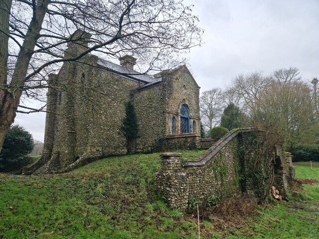
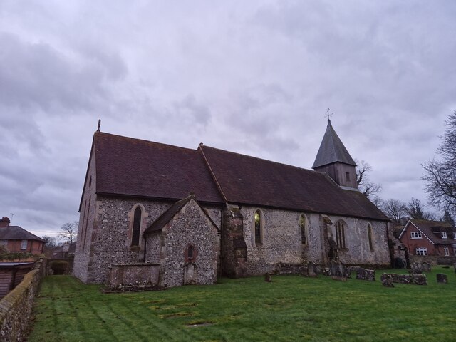
St John's House, located in the county of Hampshire, is a renowned heritage site that boasts a rich history and architectural significance. Originally constructed in the 17th century, the house has evolved over time, reflecting the changing tastes and styles of the period.
The main structure of St John's House consists of two stories and is constructed primarily from locally sourced red brick. The house features a symmetrical facade, with large sash windows and a central entrance adorned with a decorative stone surround. The interior of the house showcases intricate woodwork, ornate plasterwork, and beautiful period features, providing visitors with a glimpse into the opulent lifestyles of the past.
Throughout its history, St John's House has served various purposes. It was once a private residence for affluent families, but during the 19th century, it was converted into a school. This transition led to several alterations and additions to the original structure, including the construction of a chapel and additional classrooms.
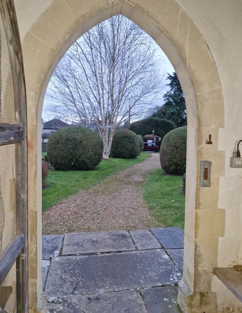
Today, St John's House is open to the public as a heritage site and museum, offering visitors the opportunity to explore its well-preserved rooms and learn about the history of the house and its former inhabitants. The museum houses a collection of artifacts and exhibits that highlight the local history and provide insights into the social and cultural context of the region.
St John's House, with its architectural charm and historical significance, serves as a testament to Hampshire's rich heritage and offers visitors an immersive experience into the past.
If you have any feedback on the listing, please let us know in the comments section below.
St John's House Images
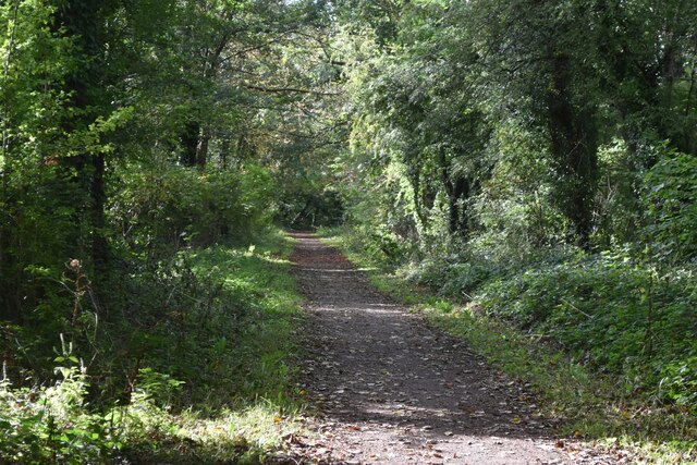
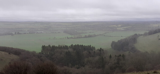
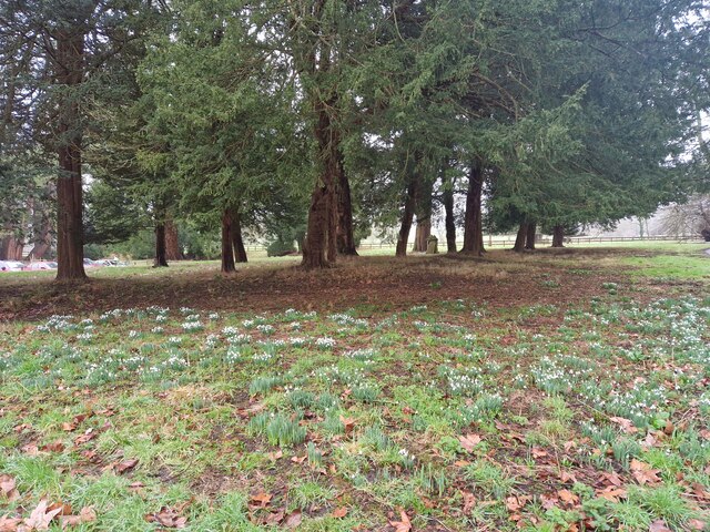
Images are sourced within 2km of 50.998/-1.11 or Grid Reference SU6222. Thanks to Geograph Open Source API. All images are credited.
St John's House is located at Grid Ref: SU6222 (Lat: 50.998, Lng: -1.11)
Administrative County: Hampshire
District: Winchester
Police Authority: Hampshire
What 3 Words
///scarecrow.awake.stud. Near Swanmore, Hampshire
Nearby Locations
Related Wikis

Warnford
Warnford is a village and civil parish in the City of Winchester district of Hampshire, England. The parish covers 1283 hectares (3170 acres). The village...

Peake Wood
Peake Wood is a 17.7-hectare (44-acre) biological Site of Special Scientific Interest west of Petersfield in Hampshire. This is a prime example of a hazel...

Exton, Hampshire
Exton is a small village and civil parish in the City of Winchester district of Hampshire, England. The village lies in the South Downs National Park,...

West Meon railway station
West Meon railway station was an intermediate station on the Meon Valley line which ran from Alton to Fareham during the first half of the 20th century...
Nearby Amenities
Located within 500m of 50.998,-1.11Have you been to St John's House?
Leave your review of St John's House below (or comments, questions and feedback).