Silverdale and Arnside
Heritage Site in Westmorland South Lakeland
England
Silverdale and Arnside
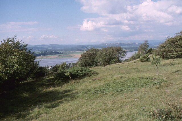
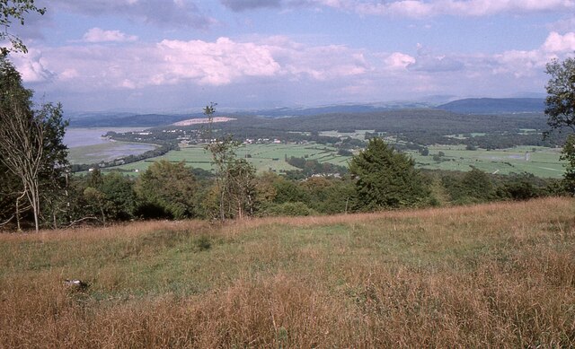
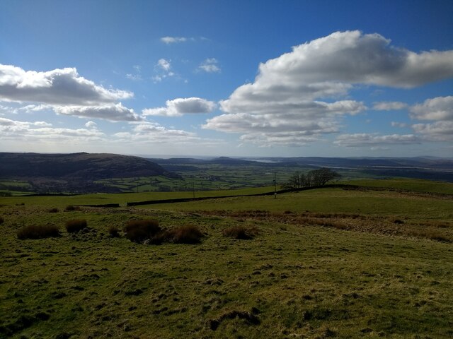
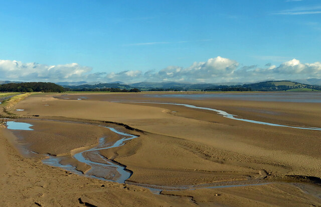
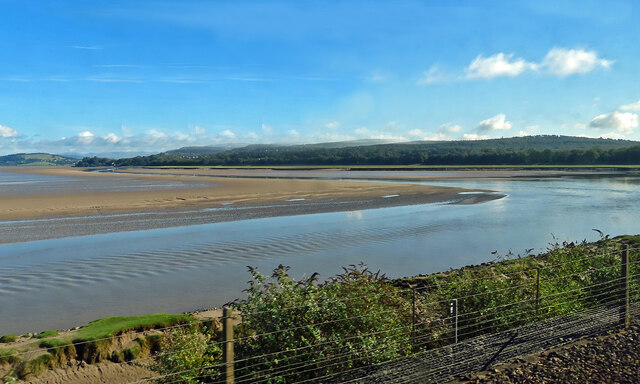
Silverdale and Arnside, located in the county of Westmorland, England, are two adjacent villages that form a designated Area of Outstanding Natural Beauty (AONB) and have been recognized as a Heritage Site. Situated on the southern edge of the Lake District National Park, the area is renowned for its stunning landscapes, diverse wildlife, and rich history.
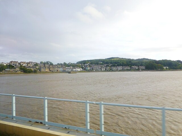
Silverdale is a picturesque village tucked away on the coastline of Morecambe Bay. Its charm lies in its traditional limestone buildings, tranquil countryside, and panoramic views of the bay. The village is known for its thriving arts and crafts community, with local artisans showcasing their work in various galleries and workshops.
Arnside, just a short distance from Silverdale, is a quaint coastal village nestled on the estuary of the River Kent. It offers breathtaking views across the estuary and towards the Lake District fells. Arnside is famous for its distinctive Victorian pier, which is a popular spot for fishing and leisurely walks. The village also boasts a range of independent shops, traditional pubs, and cafes, providing a warm and welcoming atmosphere for visitors.
The natural beauty of the Silverdale and Arnside area is unparalleled. The AONB is home to diverse habitats, including woodlands, limestone pavements, salt marshes, and coastal cliffs. This unique environment supports a wide array of flora and fauna, making it a haven for nature enthusiasts. Visitors can embark on scenic walks along the coastline, explore ancient woodlands, or spot rare birds and butterflies in the local nature reserves.
Overall, Silverdale and Arnside in Westmorland offer a harmonious blend of natural beauty, cultural heritage, and tranquility that continues to captivate locals and visitors alike.
If you have any feedback on the listing, please let us know in the comments section below.
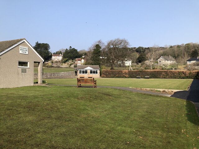
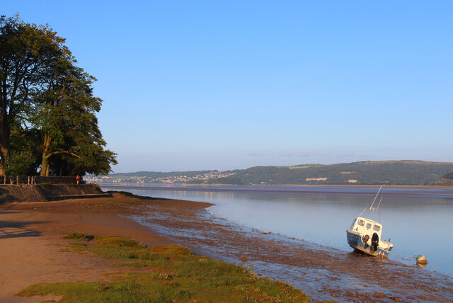
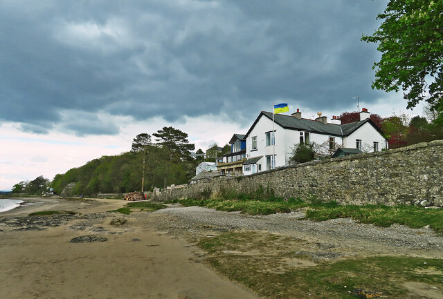
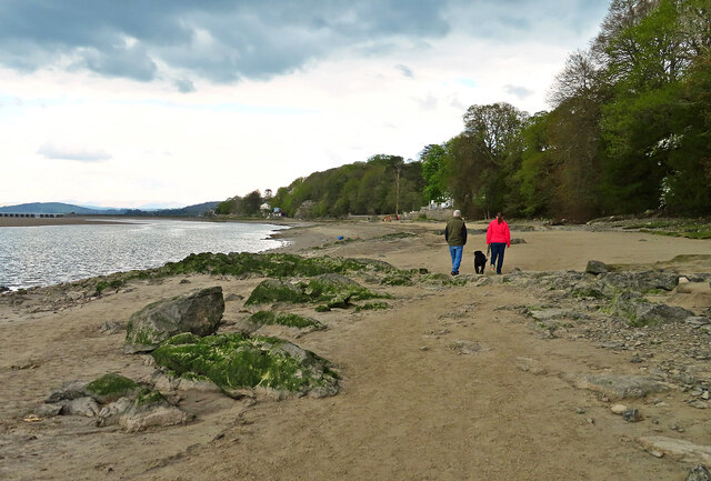
Silverdale and Arnside Images
Images are sourced within 2km of 54.19/-2.835 or Grid Reference SD4577. Thanks to Geograph Open Source API. All images are credited.


Silverdale and Arnside is located at Grid Ref: SD4577 (Lat: 54.19, Lng: -2.835)
Administrative County: Cumbria
District: South Lakeland
Police Authority: Cumbria
What 3 Words
///diverting.shop.powering. Near Arnside, Cumbria
Nearby Locations
Related Wikis

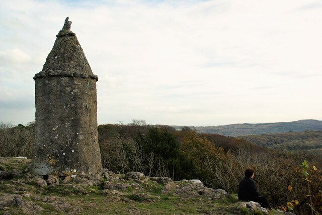
Arnside Knott
Arnside Knott is a hill with a summit elevation of 159 metres (522 ft), near Arnside, Cumbria, England. Although it is in South Lakeland district it is...
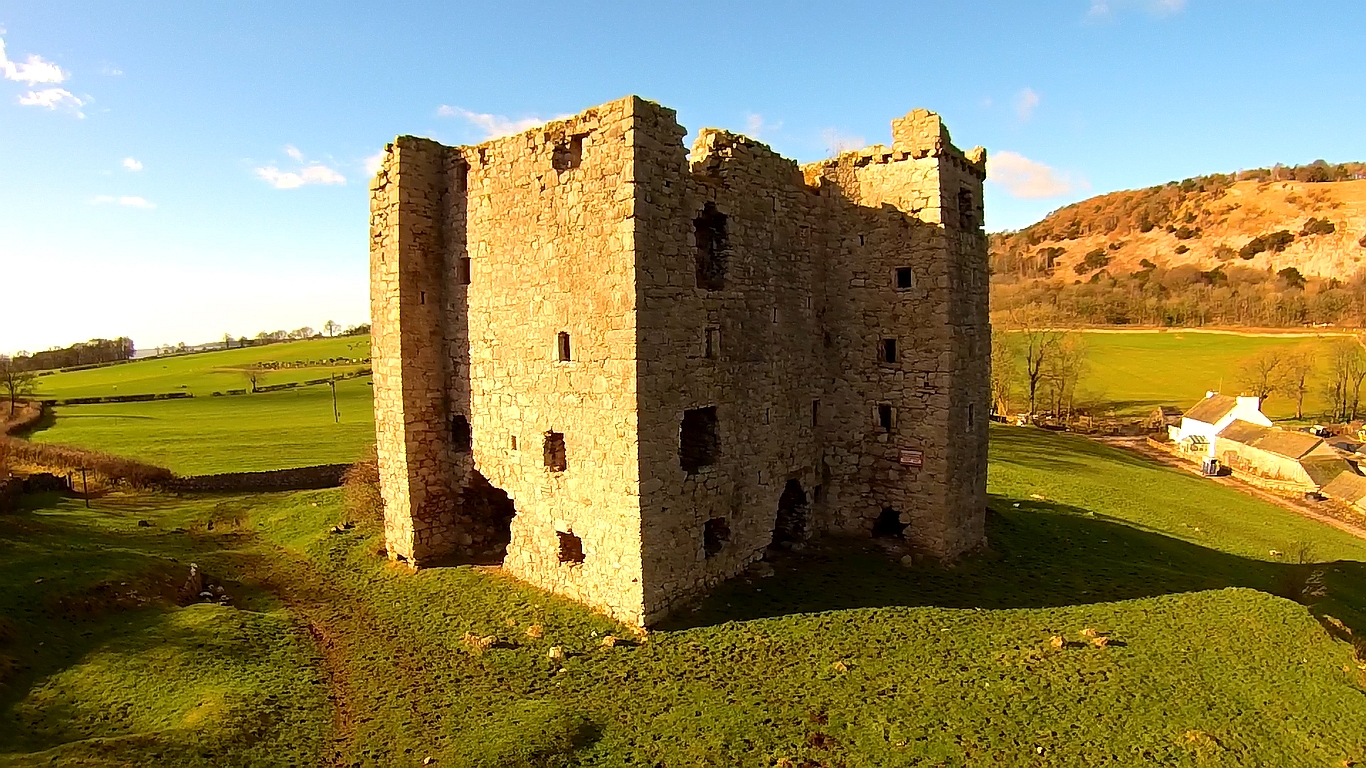
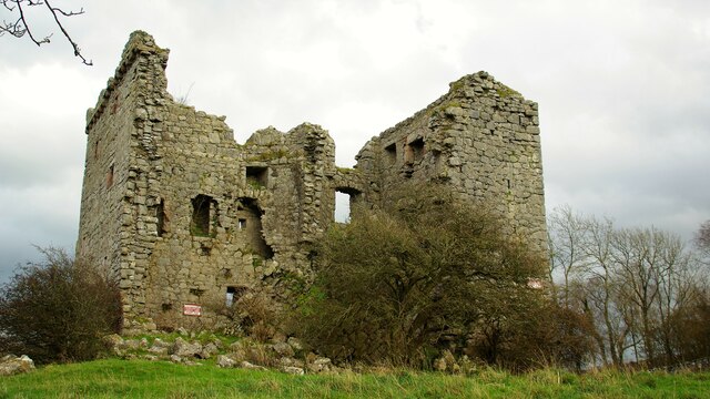
Arnside Tower
Arnside Tower is a late-medieval tower house (or Pele tower) between Arnside and Silverdale immediately to the south of Arnside Knott in Cumbria, England...

Arnside
Arnside is a village and civil parish in Cumbria, historically part of Westmorland, near the border with Lancashire, England. The Lake District National...
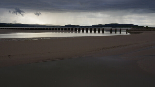
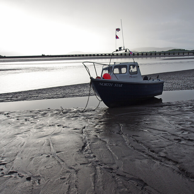
Arnside Bore
The Arnside Bore is a tidal bore on the estuary of the River Kent in England, United Kingdom.The bore occurs at high tides, especially spring tides, where...

Far Arnside
Far Arnside is a hamlet in Arnside civil parish in the South Lakeland district, Cumbria, England. == Location == It is located near the large villages...
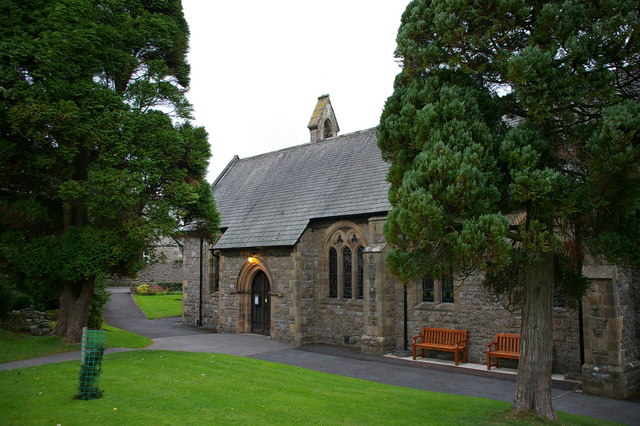
St James' Church, Arnside
St James' Church is in the village of Arnside, Cumbria, England. It is an active Anglican parish church in the deanery of Kendal, the archdeaconry of...

Limestone Link (Cumbria)
The Limestone Link is a waymarked footpath in South Lakeland, Cumbria, England, connecting Arnside and Kirkby Lonsdale, a distance of 13 miles (21 km)...
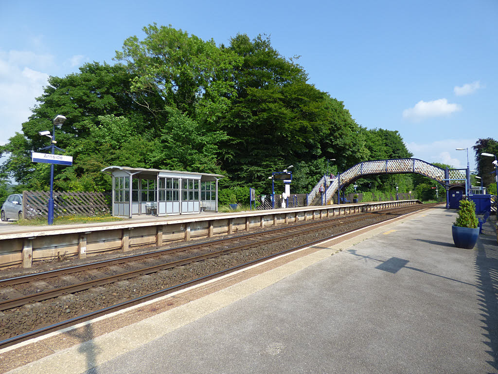
Arnside railway station
Arnside is a railway station on the Furness Line, which runs between Barrow-in-Furness and Lancaster. The station, situated 12+1⁄4 miles (20 km) north...
Nearby Amenities
Located within 500m of 54.19,-2.835Have you been to Silverdale and Arnside?
Leave your review of Silverdale and Arnside below (or comments, questions and feedback).