Silver Barrow

Heritage Site in Wiltshire

England

Silver Barrow

Tilshead, Wiltshire Farm buildings on the northwest permiter of the village of Tilshead.
Tilshead, Wiltshire Credit: Rebecca A Wills

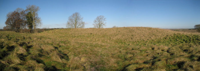
Silver Barrow is a Bronze Age burial mound located in the county of Wiltshire, England. This ancient heritage site is situated near the village of All Cannings, approximately 5 miles east of Devizes. The mound, which dates back to around 2000 BCE, is part of a larger prehistoric ceremonial landscape known as the Avebury World Heritage Site.

The Silver Barrow mound is a round barrow, with a diameter of around 30 meters and a height of approximately 2 meters. It was constructed using layers of soil and chalk, with a stone cairn at its center. The barrow is surrounded by a shallow ditch, believed to have held symbolic and ritualistic significance.

Excavations at Silver Barrow in the 19th and early 20th centuries revealed the presence of a burial chamber within the mound. The chamber contained human remains, as well as grave goods such as pottery, flint tools, and animal bones. These findings suggest that the barrow was used for the burial of individuals of high status within the Bronze Age community.

The significance of Silver Barrow lies not only in its archaeological value but also in its connection to the wider Avebury landscape. The Avebury World Heritage Site encompasses several other prehistoric monuments, including the famous Avebury stone circle, West Kennet Long Barrow, and Silbury Hill. Together, these sites provide insights into the lives, beliefs, and rituals of the people who inhabited this area thousands of years ago.

Today, Silver Barrow is a protected heritage site, managed by English Heritage. Visitors can explore the mound and its surrounding landscape, marveling at the ancient engineering and imagining the rituals and ceremonies that took place in this Bronze Age burial ground.

If you have any feedback on the listing, please let us know in the comments section below.

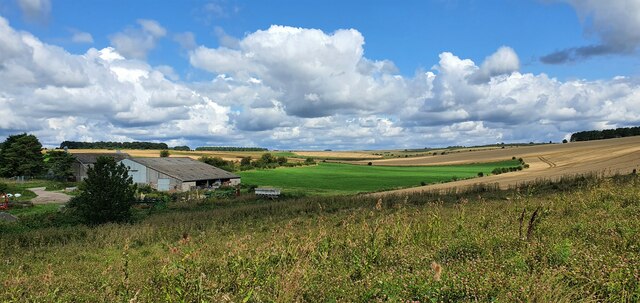
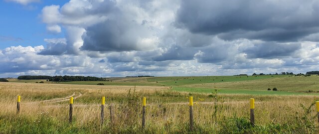
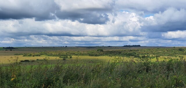
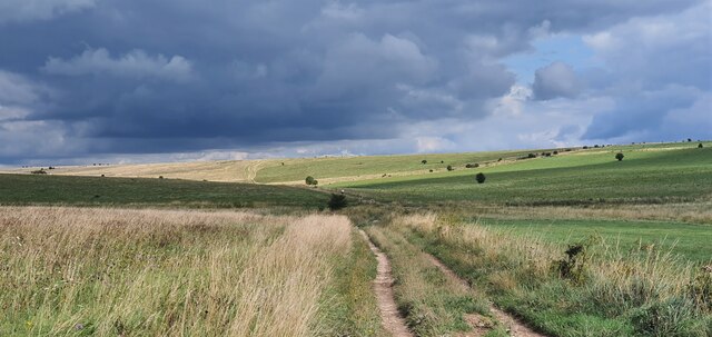
Silver Barrow Images

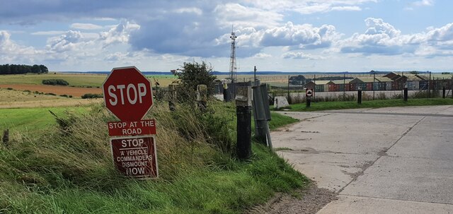
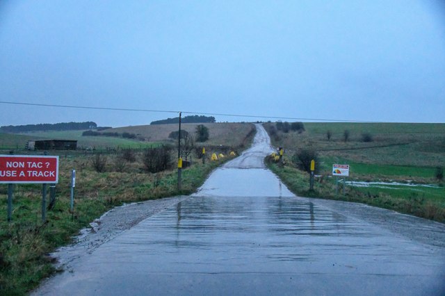
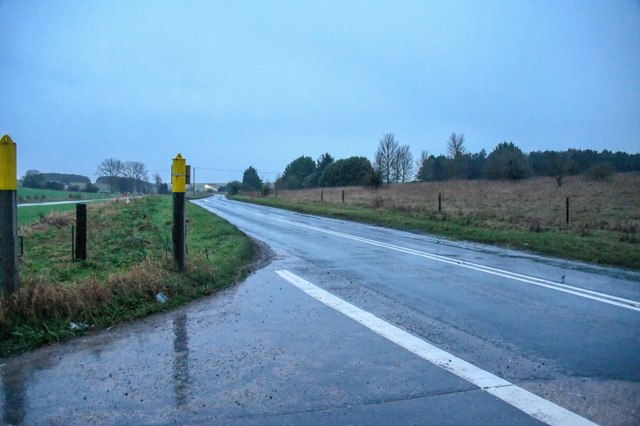
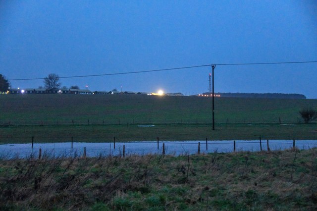
Images are sourced within 2km of 51.227/-1.935 or Grid Reference SU0447. Thanks to Geograph Open Source API. All images are credited.

Tilshead, Wiltshire Farm buildings on the northwest permiter of the village of Tilshead.
Tilshead, Wiltshire
Farm buildings on the northwest permiter of the village of Tilshead.
West Down, Wiltshire Tank markers on the side of a bridleway on West Down. This area is within the Westdown Artillery Range danger area, but is open to walkers on the bridleways when no red flags are displayed.
West Down, Wiltshire
Tank markers on the side of a bridleway on West Down. This area is within the Westdown Artillery Range danger area, but is open to walkers on the bridleways when no red flags are displayed.
West Down Plantation, Wiltshire Looking north west from over the Westdown Artillery Range from West Down Plantation. This area is within the Westdown Artillery Range danger area, but is open to walkers on the bridleways when no red flags are displayed.
West Down Plantation, Wiltshire
Looking north west from over the Westdown Artillery Range from West Down Plantation. This area is within the Westdown Artillery Range danger area, but is open to walkers on the bridleways when no red flags are displayed.
West Down, Wiltshire Looking east along a bridleway running over West Down. This area is within the Westdown Artillery Range danger area, but is open to walkers on the bridleways when no red flags are displayed.
West Down, Wiltshire
Looking east along a bridleway running over West Down. This area is within the Westdown Artillery Range danger area, but is open to walkers on the bridleways when no red flags are displayed.
Westdown Camp, Wiltshire Instructions to military drivers at Westdown Camp's north gate.
Westdown Camp, Wiltshire
Instructions to military drivers at Westdown Camp's north gate.
Orcheston : Military Road A road heading into Salisbury Plain Training Area off the A360.
Orcheston : Military Road
A road heading into Salisbury Plain Training Area off the A360.
Orcheston : A360 Looking along the A360.
Orcheston : A360
Looking along the A360.
Orcheston : Westdown Camp Looking towards Westdown Camp.
Orcheston : Westdown Camp
Looking towards Westdown Camp.
Orcheston : A360 Looking along the A360.
Orcheston : A360
Looking along the A360.
Village scene, Tilshead The Rose and Crown was built as two timber-framed dwellings in the 16th century and took its present form in the 17th century.  Tilshead Baptist Chapel stands beside the pub.  For a closer view of the sign <a href="https://www.geograph.org.uk/photo/2454525">SU0347 : Sign for the Rose and Crown</a>
Village scene, Tilshead
The Rose and Crown was built as two timber-framed dwellings in the 16th century and took its present form in the 17th century. Tilshead Baptist Chapel stands beside the pub. For a closer view of the sign SU0347 : Sign for the Rose and Crown
Sign for the Rose and Crown The sign was hung on the 29th April to commemorate the marriage of Prince William and Kate Middleton.  It appears that the sign has received a mixed reception in the village.
Sign for the Rose and Crown
The sign was hung on the 29th April to commemorate the marriage of Prince William and Kate Middleton. It appears that the sign has received a mixed reception in the village.
Thatching, Tilshead Thatching in progress at Primrose Cottage.  For a view of the cottage in January 2009 <a href="https://www.geograph.org.uk/photo/1104872">SU0347 : Primrose Cottage, Tilshead</a>
Thatching, Tilshead
Thatching in progress at Primrose Cottage. For a view of the cottage in January 2009 SU0347 : Primrose Cottage, Tilshead
2011 : Thatching in Tilshead For thatching Primrose Cottage at an earlier stage see <a href="https://www.geograph.org.uk/photo/2454541">SU0347 : Thatching, Tilshead</a>
2011 : Thatching in Tilshead
For thatching Primrose Cottage at an earlier stage see SU0347 : Thatching, Tilshead
2011 : A360 heading north into Tilshead From Shrewton.
After Tilshead passes through the military range and on to West Lavington and Potterne.
2011 : A360 heading north into Tilshead
From Shrewton. After Tilshead passes through the military range and on to West Lavington and Potterne.
2011 : A360 heading north to Tilshead Crossing the corner of the grid square.
A tank crossing bisects the road near the bend linking the eastern part of the military range with the western.
2011 : A360 heading north to Tilshead
Crossing the corner of the grid square. A tank crossing bisects the road near the bend linking the eastern part of the military range with the western.
2011 : Tank crossing sign on the A360 Warning of a tank crossing place giving passage between the western and eastern parts of the military range.
2011 : Tank crossing sign on the A360
Warning of a tank crossing place giving passage between the western and eastern parts of the military range.
2011 : Tilshead Post Office, High Street Near the junction with Candown Road.
2011 : Tilshead Post Office, High Street
Near the junction with Candown Road.
2011 : Candown Road, Tilshead Off the A360 High Street.
Heads north and east toward the Military Range.
2011 : Candown Road, Tilshead
Off the A360 High Street. Heads north and east toward the Military Range.
Show me another place!

Silver Barrow is located at Grid Ref: SU0447 (Lat: 51.227, Lng: -1.935)

Unitary Authority: Wiltshire

Police Authority: Wiltshire

What 3 Words

///lots.puns.upholding. Near Shrewton, Wiltshire

Related Wikis

Tilshead

Tilshead () is a village and civil parish in the county of Wiltshire in Southern England, about 9 miles (14 km) northwest of the town of Amesbury. It...

White Barrow

White Barrow is a large Neolithic long barrow just below the crest of Copehill Down on Salisbury Plain, just south of the village of Tilshead in Wiltshire...

A360 road

The A360 is an A road in Wiltshire, England, running from Devizes to Salisbury, through the villages of Potterne, West Lavington, Tilshead, and Shrewton...

Tilshead Lodge

Tilshead Lodge (now demolished) was a large 18th-century country house, southwest of Tilshead in Wiltshire, England, and about 13 miles (21 km) northwest...

Related Videos

Tilshead - Salisbury

Tilshead #craventhehunterfilmlocation #ukdiaries #unitedkingdom #thezz #thezzdiaries #thezzdiary #salisbury.

Salisbury Plain on a Honda CRF250 Rally - Part 1

I escaped the Surrey Hills and headed over to Salisbury Plain, an easy couple of hours away along the M3 and A303. The CRF ...

Riding the UK TET with a Ducati Scrambler Desert Sled

Last October Nathan Millward and I rode the TET between Cirencester and Salisbury so that he could evaluate the Ducati ...

Nearby Amenities

Located within 500m of 51.227,-1.935
Height: 65
Man Made: tower
Operator: MOD
Tower Type: communication
Lat/Long: 51.2302011/-1.9399336
The data included in this document is from www.openstreetmap.org. The data is made available under ODbL.

Have you been to Silver Barrow?

Leave your review of Silver Barrow below (or comments, questions and feedback).