Siegework

Heritage Site in Derbyshire Derbyshire Dales

England

Siegework

Tissington, gatepost The entrance to the footpath is on the north side of Chapel Lane and there is a benchmark cut into the gatepost.
Tissington, gatepost Credit: Mel Towler

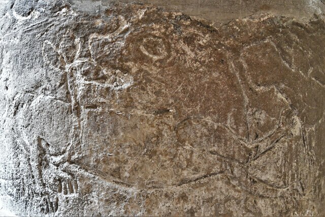
Siegework, located in Derbyshire, England, is a historically significant heritage site that holds great importance in the region's history. The site is known for its well-preserved remnants of a medieval siege work, which played a crucial role during conflicts in the past.

The Siegework dates back to the 12th century and is believed to have been constructed by the Normans. It served as a defensive structure, strategically positioned to protect the nearby castle. The site comprises earthworks, ditches, and mounds that were utilized as part of an intricate defense system. These features demonstrate the architectural skills and military tactics employed during that era.

The site showcases the ingenuity and resourcefulness of medieval engineers, as it was designed to withstand sieges and deter enemies. Visitors can explore the remains of the Siegework, which provide valuable insights into the castle's history and the methods employed to protect it. The earthworks and ditches still retain their original form, giving visitors a glimpse into the past.

Siegework, now a protected heritage site, offers an educational experience for both locals and tourists. Its historical significance and well-preserved features make it an essential destination for history enthusiasts. Interpretive boards and informational signage are available on site, providing visitors with a deeper understanding of the site's historical context and significance.

Overall, Siegework in Derbyshire serves as a testament to the region's medieval past and offers a unique opportunity to explore and learn about the strategies employed to safeguard castles during times of conflict.

If you have any feedback on the listing, please let us know in the comments section below.
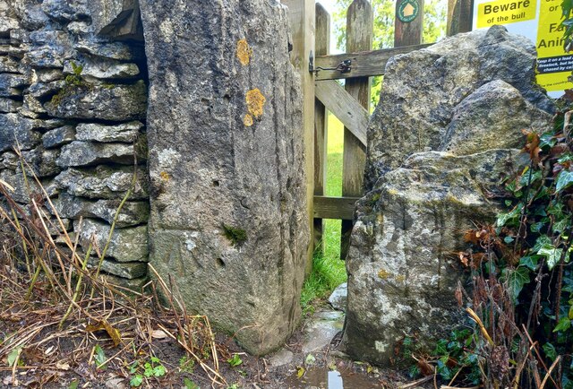
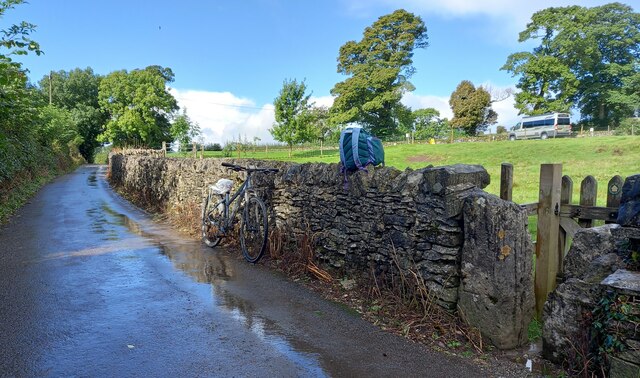
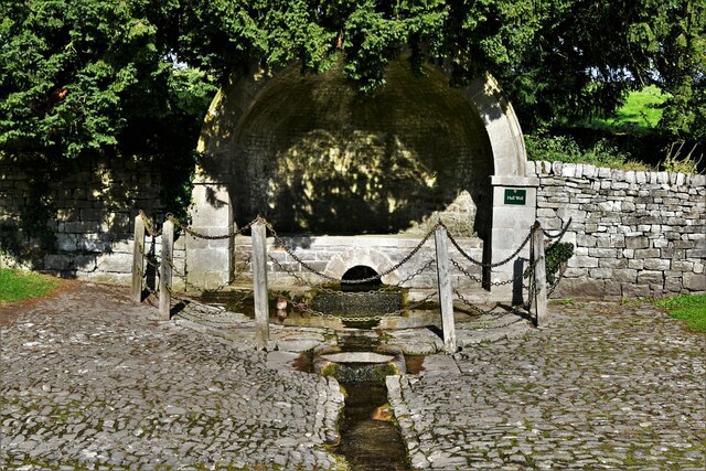
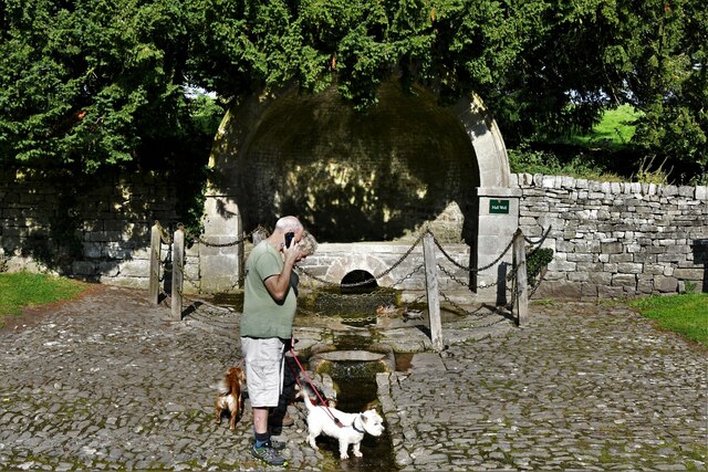
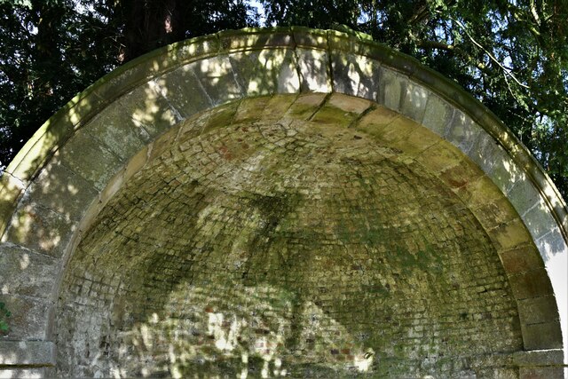
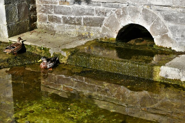
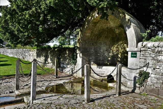
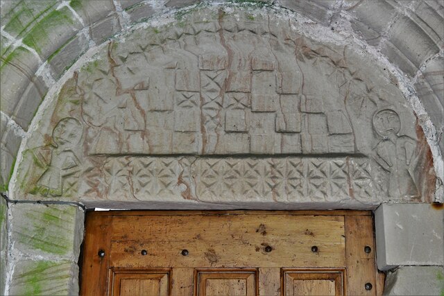
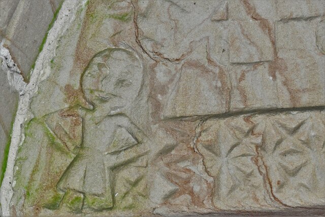
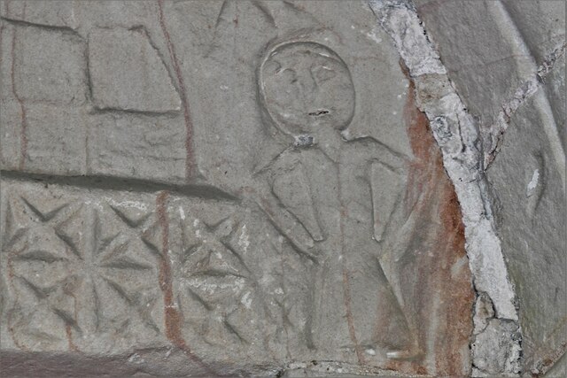
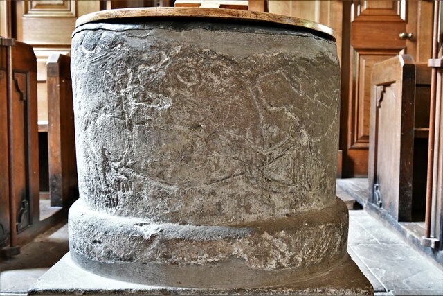
Siegework Images

Images are sourced within 2km of 53.068/-1.738 or Grid Reference SK1752. Thanks to Geograph Open Source API. All images are credited.

Tissington, gatepost The entrance to the footpath is on the north side of Chapel Lane and there is a benchmark cut into the gatepost.
Tissington, gatepost
The entrance to the footpath is on the north side of Chapel Lane and there is a benchmark cut into the gatepost.
Tissington, gatepost A wider angle showing the entrance to the footpath which is on the north side of Chapel Lane. There is a benchmark cut into the gatepost.
Tissington, gatepost
A wider angle showing the entrance to the footpath which is on the north side of Chapel Lane. There is a benchmark cut into the gatepost.
Tissington, Hall Well: One of six Derbyshire wells 'dressed' for Ascension week
Tissington, Hall Well: One of six Derbyshire wells 'dressed' for Ascension week (detail) Two ducks seem to regard the well as home.
Tissington, Hall Well: One of six Derbyshire wells 'dressed' for Ascension week (detail)
Two ducks seem to regard the well as home.
Tissington, Hall Well: One of six Derbyshire wells 'dressed' for Ascension week (detail) The domed covering.
Tissington, Hall Well: One of six Derbyshire wells 'dressed' for Ascension week (detail)
The domed covering.
Tissington, Hall Well: One of six Derbyshire wells 'dressed' for Ascension week (detail)
Tissington, Hall Well: One of six Derbyshire wells 'dressed' for Ascension week
Tissington: Inspecting the stream created by Hall Well
Tissington: Herbert's Tearoom
Tissington, St. Mary's Church
Tissington, St. Mary's Church: Western aspect
Tissington: Herbert's Tearoom from St. Mary's churchyard
Tissington, St. Mary's Church: Norman tympanum above the south door
Tissington, St. Mary's Church: Norman tympanum above the south door (detail) 1
Tissington, St. Mary's Church: Norman tympanum above the south door (detail) 2
Tissington, St. Mary's Church: Norman tub font with incised animals
Tissington, St. Mary's Church: Norman tub font with incised animals (detail)
Show me another place!

Siegework is located at Grid Ref: SK1752 (Lat: 53.068, Lng: -1.738)

Administrative County: Derbyshire

District: Derbyshire Dales

Police Authority: Derbyshire

What 3 Words

///informed.easygoing.yard. Near Ashbourne, Derbyshire

Nearby Locations

Siegework Tissington

Related Wikis

St Mary's Church, Tissington

St Mary’s Church, Tissington is a Grade II* listed parish church in the Church of England in Tissington, Derbyshire. == History == The church dates from...
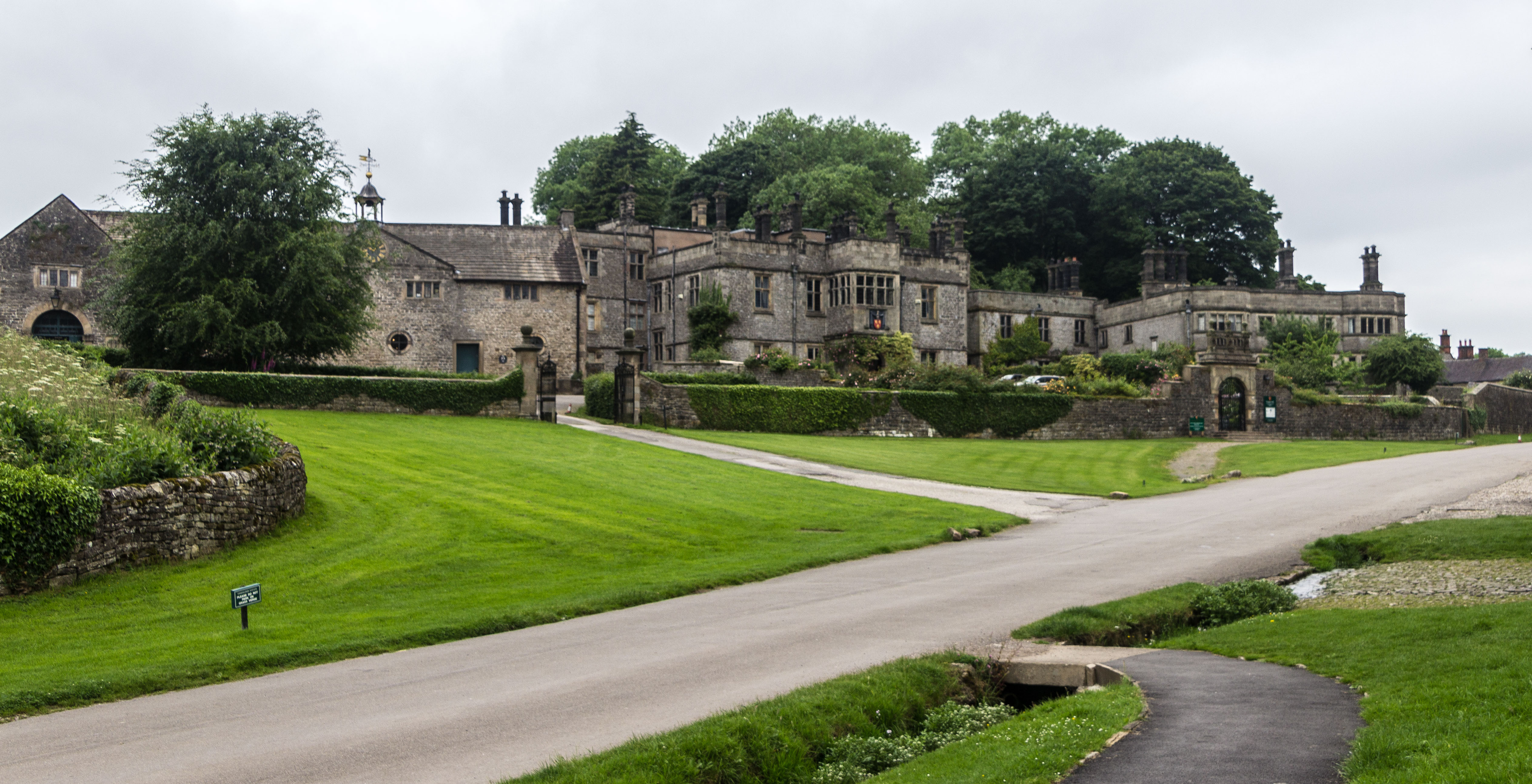
Tissington Hall

Tissington Hall is an early 17th-century Jacobean mansion house in Tissington, near Ashbourne, Derbyshire. It is a Grade II* listed building. The FitzHerberts...

Tissington

Tissington is a village and former civil parish, now in the parish of Tissington and Lea Hall, in the Derbyshire Dales district of Derbyshire, England...

Tissington and Lea Hall

Tissington and Lea Hall is a civil parish within the Derbyshire Dales district, which is in the county of Derbyshire, England. Named for its settlements...

Nearby Amenities

Located within 500m of 53.068,-1.738
Tissington
Is In: Derbyshire, England, UK
Place: village
Wikidata: Q3229378
Lat/Long: 53.0672757/-1.7395691
Bench
Lat/Long: 53.0653091/-1.7370132
Information: board
Tourism: information
Lat/Long: 53.0653574/-1.7364207
Bench
Lat/Long: 53.0652416/-1.73694
Bus Stop
Bus: yes
Public Transport: platform
Lat/Long: 53.0668007/-1.738466
Bench
Lat/Long: 53.0667904/-1.7386892
Barrier: stile
Material: stone
Source: survey;bing;gps
Stile: squeezer
Lat/Long: 53.0676327/-1.7357935
Place Of Worship
Tissington Methodist Chapel
Denomination: methodist
Religion: christian
Lat/Long: 53.0693374/-1.7365041
Post Box
Brand: Royal Mail
Brand Wikidata: Q638098
Brand Wikipedia: en:Royal Mail
Operator: Royal Mail
Operator Wikidata: Q638098
Ref: DE6 814
Lat/Long: 53.0689577/-1.7411439
Post Box
Brand: Royal Mail
Brand Wikidata: Q638098
Brand Wikipedia: en:Royal Mail
Operator: Royal Mail
Operator Wikidata: Q638098
Post Box Type: lamp
Ref: DE6 820
Lat/Long: 53.0668042/-1.7368948
Barrier: stile
Foot: yes
Material: stone
Source: survey;bing;gps
Stile: squeezer
Lat/Long: 53.0672797/-1.7357245
Barrier: stile
Foot: yes
Material: stone
Source: survey;bing
Stile: squeezer
Lat/Long: 53.0671271/-1.7363797
Barrier: stile
Foot: yes
Lat/Long: 53.0678377/-1.7355414
Barrier: stile
Foot: yes
Lat/Long: 53.0682825/-1.7347165
Bench
Backrest: yes
Check Date: 2021-08-11
Ele: 217.0000000
Lat/Long: 53.067361/-1.7373799
Ele: 226.0000000
Lat/Long: 53.0710344/-1.7412032
Barrier: stile
Ele: 229.0
Material: stone
Source: survey;bing
Steps: 3
Stile: stepover
Lat/Long: 53.0695616/-1.7373938
Barrier: stile
Ele: 220.0
Steps: 2
Stile: wall
Lat/Long: 53.0679629/-1.7366886
Barrier: stile
Ele: 225.0000000
Stile: squeezer
Lat/Long: 53.0710547/-1.7412128
Barrier: stile
Ele: 220.0000000
Lat/Long: 53.070008/-1.7408587
Ele: 207.0000000
Lat/Long: 53.0640222/-1.7402355
Ele: 205.0000000
Lat/Long: 53.0640601/-1.7402709
Ele: 206.0000000
Lat/Long: 53.0641036/-1.7401935
Barrier: stile
Ele: 202.0000000
Source: GPS
Steps: 1
Stile: stepover
Lat/Long: 53.0639684/-1.7400091
Barrier: stile
Ele: 212.0
Stile: squeezer
Lat/Long: 53.0663001/-1.7400516
Barrier: stile
Material: wood
Source: survey;gps
Stile: squeezer
Lat/Long: 53.0644154/-1.7347197
Barrier: cattle_grid
Bicycle: yes
Foot: yes
Motorcar: yes
Motorcycle: yes
Lat/Long: 53.0666674/-1.7407173
Hall Well
Natural: spring
Lat/Long: 53.0678442/-1.7393927
Barrier: stile
Material: stone
Source: survey
Stile: stepover
Lat/Long: 53.0688603/-1.7309144
Barrier: stile
Material: stone
Source: survey;bing
Stile: squeezer
Lat/Long: 53.069597/-1.7373781
Barrier: stile
Material: stone
Source: survey;bing;gps
Stile: squeezer
Lat/Long: 53.0703489/-1.7370196
Addr Housename: Sharplow Cottage
Addr Housenumber: 2
Source: survey;bing
Lat/Long: 53.07006/-1.7429675
Addr Housename: Sharplow Cottage
Addr Housenumber: 1
Source: survey;bing
Lat/Long: 53.0701045/-1.7430618
Addr Housename: Darfield Cottages
Addr Housenumber: 1
Addr Street: Darfield Lane
Wikidata: Q26442636
Lat/Long: 53.0660591/-1.7352458
Addr Housename: Darfield Cottages
Addr Housenumber: 2
Addr Street: Darfield Lane
Lat/Long: 53.0661539/-1.7353096
Barrier: cattle_grid
Bicycle: yes
Foot: yes
Horse: no
Motorcycle: yes
Lat/Long: 53.0652051/-1.7346507
Barrier: stile
Check Date: 2023-11-14
Material: wood
Source: survey;gps
Step Count: 2
Stile: stepover
Lat/Long: 53.0652185/-1.7346135
Telephone
Booth: K6
Covered: booth
Listed Status: Grade II
Operator: BT
Phone: +44 1335 390260
Source: survey
Lat/Long: 53.067405/-1.7358201
Acanthus
Shop: gift
Lat/Long: 53.0692354/-1.7416272
Barrier: entrance
Source: survey;gps
Lat/Long: 53.0653919/-1.7366329
Tissington
Tourism: picnic_site
Lat/Long: 53.0652013/-1.7371755
Hands Well
Natural: spring
Lat/Long: 53.0693848/-1.7413497
Town Well
Natural: spring
Lat/Long: 53.0668207/-1.7366505
Children's Well
Natural: spring
Lat/Long: 53.0688253/-1.7408964
Defibrillator
Access: yes
Defibrillator Location: On outside wall of Herbert's Fine English tea rooms. Available 24/7.
Emergency: defibrillator
Indoor: no
Opening Hours: 24/7
Ref GB The Circuit: EE2CBBEB-1552-45E6-92DC-AF9800993193
Lat/Long: 53.067203/-1.7390476
Generator Method: photovoltaic
Generator Output Electricity: yes
Generator Source: solar
Generator Type: solar_photovoltaic_panel
Location: roof
Power: generator
Lat/Long: 53.0671991/-1.7391294
Generator Method: photovoltaic
Generator Output Electricity: yes
Generator Source: solar
Generator Type: solar_photovoltaic_panel
Location: roof
Power: generator
Lat/Long: 53.0684038/-1.7407105
Generator Method: photovoltaic
Generator Output Electricity: yes
Generator Source: solar
Generator Type: solar_photovoltaic_panel
Location: roof
Power: generator
Lat/Long: 53.0683192/-1.7407803
Generator Method: photovoltaic
Generator Output Electricity: yes
Generator Source: solar
Generator Type: solar_photovoltaic_panel
Location: roof
Power: generator
Lat/Long: 53.068407/-1.7408473
Bicycle Parking
Bicycle Parking: stands
Capacity: 16
Covered: no
Lat/Long: 53.0654299/-1.7365158
Tissington
Historic Railway: station
Railway: site
Wikidata: Q16248397
Wikipedia: en:Tissington railway station
Lat/Long: 53.0654668/-1.7363516
Bench
Lat/Long: 53.0668734/-1.737417
Bench
Lat/Long: 53.0668672/-1.7374541
The data included in this document is from www.openstreetmap.org. The data is made available under ODbL.

Have you been to Siegework?

Leave your review of Siegework below (or comments, questions and feedback).