Westdown Camp

Settlement in Wiltshire

England

Westdown Camp

Fuel Filling Station and Shop
Fuel Filling Station and Shop Credit: Anthony Parkes

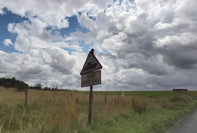
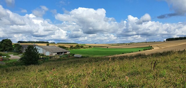
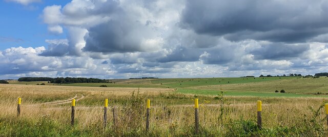
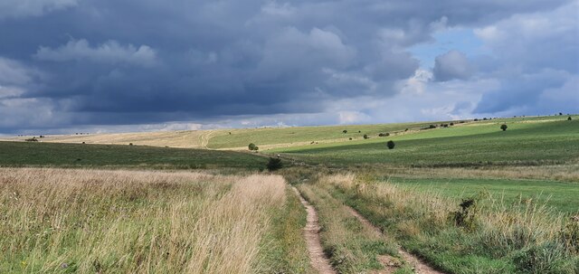
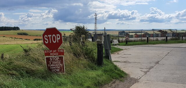
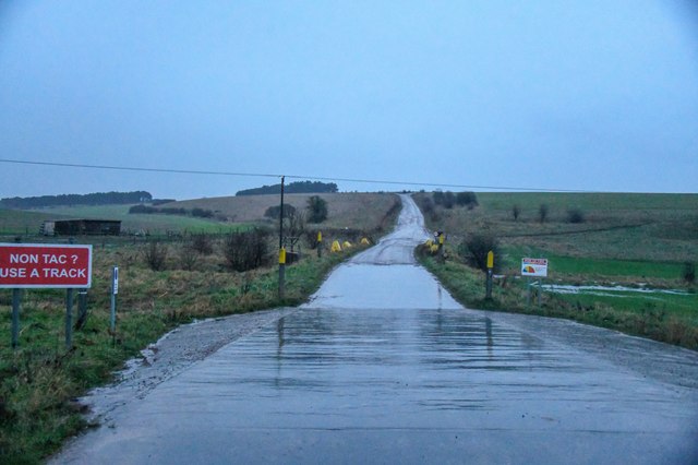
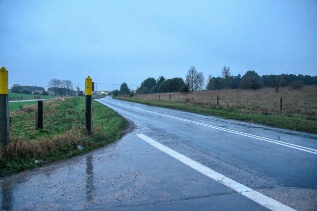
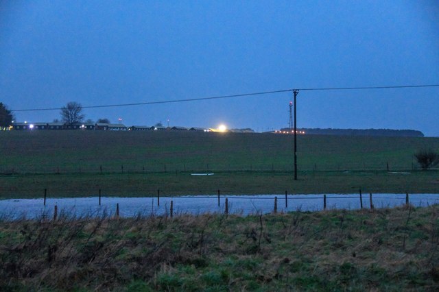
Westdown Camp is a military training area located in Wiltshire, England. Situated approximately 3 miles northeast of the town of Tidworth, the camp covers an expansive area of around 2,500 acres. It is predominantly used by the British Army for training exercises and is an integral part of the Salisbury Plain Training Area.

The main purpose of Westdown Camp is to provide realistic training opportunities for soldiers, enabling them to develop their skills and readiness for combat operations. It offers a diverse range of training facilities, including live firing ranges, maneuver areas, and simulated urban environments. These resources allow troops to practice various combat scenarios, from infantry tactics to armored vehicle operations.

The camp also features a number of support facilities, such as accommodation blocks, mess halls, and administrative offices, to cater to the needs of the personnel using the training area. Additionally, there are maintenance and storage facilities for military vehicles and equipment.

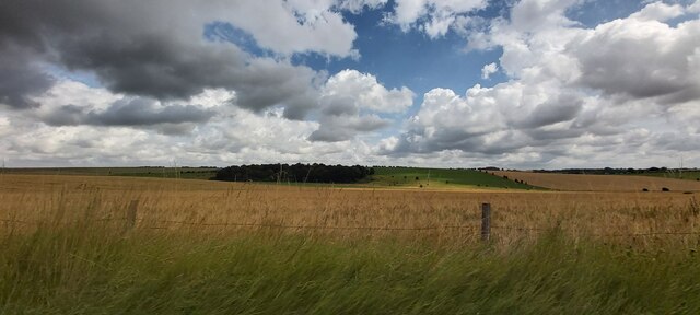
Westdown Camp is surrounded by the expansive Salisbury Plain, which enhances its training capabilities by providing vast open spaces for large-scale exercises. The location also benefits from its proximity to other military bases in the area, such as Tidworth Garrison and Bulford Camp.

While predominantly used by the British Army, Westdown Camp occasionally hosts international military units for joint training exercises. This collaboration enhances the camp's reputation as a premier training facility, known for its realistic and challenging terrain.

If you have any feedback on the listing, please let us know in the comments section below.

Westdown Camp Images

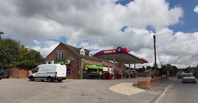
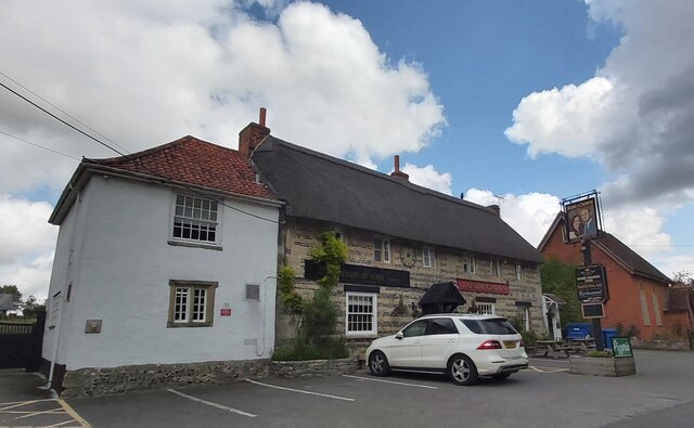
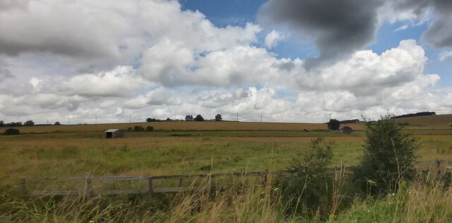
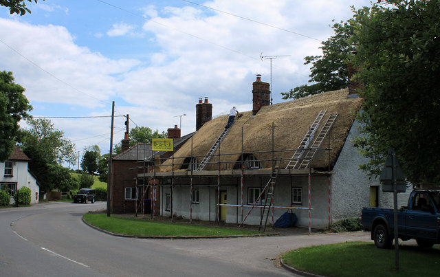
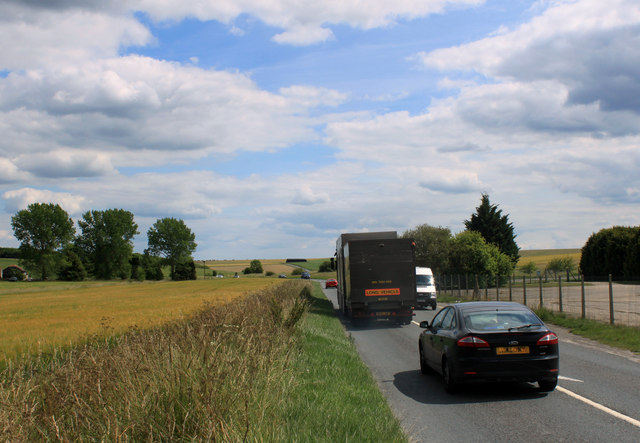
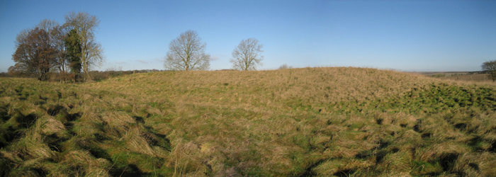
Images are sourced within 2km of 51.222182/-1.944105 or Grid Reference SU0447. Thanks to Geograph Open Source API. All images are credited.

Fuel Filling Station and Shop
The Rose and Crown at Tilshead Pub Sign looks like it may be Prince William and Kate
The Rose and Crown at Tilshead
Pub Sign looks like it may be Prince William and Kate
Orcheston Down
Orcheston Down
Orcheston Down
Orcheston Down
Approaching a Tank Crossing on the A360
Tilshead, Wiltshire Farm buildings on the northwest permiter of the village of Tilshead.
Tilshead, Wiltshire
Farm buildings on the northwest permiter of the village of Tilshead.
West Down, Wiltshire Tank markers on the side of a bridleway on West Down. This area is within the Westdown Artillery Range danger area, but is open to walkers on the bridleways when no red flags are displayed.
West Down, Wiltshire
Tank markers on the side of a bridleway on West Down. This area is within the Westdown Artillery Range danger area, but is open to walkers on the bridleways when no red flags are displayed.
West Down, Wiltshire Looking east along a bridleway running over West Down. This area is within the Westdown Artillery Range danger area, but is open to walkers on the bridleways when no red flags are displayed.
West Down, Wiltshire
Looking east along a bridleway running over West Down. This area is within the Westdown Artillery Range danger area, but is open to walkers on the bridleways when no red flags are displayed.
Westdown Camp, Wiltshire Instructions to military drivers at Westdown Camp's north gate.
Westdown Camp, Wiltshire
Instructions to military drivers at Westdown Camp's north gate.
Orcheston : Military Road A road heading into Salisbury Plain Training Area off the A360.
Orcheston : Military Road
A road heading into Salisbury Plain Training Area off the A360.
Orcheston : A360 Looking along the A360.
Orcheston : A360
Looking along the A360.
Orcheston : Westdown Camp Looking towards Westdown Camp.
Orcheston : Westdown Camp
Looking towards Westdown Camp.
Orcheston : A360 Looking along the A360.
Orcheston : A360
Looking along the A360.
Village scene, Tilshead The Rose and Crown was built as two timber-framed dwellings in the 16th century and took its present form in the 17th century.  Tilshead Baptist Chapel stands beside the pub.  For a closer view of the sign <a href="https://www.geograph.org.uk/photo/2454525">SU0347 : Sign for the Rose and Crown</a>
Village scene, Tilshead
The Rose and Crown was built as two timber-framed dwellings in the 16th century and took its present form in the 17th century. Tilshead Baptist Chapel stands beside the pub. For a closer view of the sign SU0347 : Sign for the Rose and Crown
Sign for the Rose and Crown The sign was hung on the 29th April to commemorate the marriage of Prince William and Kate Middleton.  It appears that the sign has received a mixed reception in the village.
Sign for the Rose and Crown
The sign was hung on the 29th April to commemorate the marriage of Prince William and Kate Middleton. It appears that the sign has received a mixed reception in the village.
Thatching, Tilshead Thatching in progress at Primrose Cottage.  For a view of the cottage in January 2009 <a href="https://www.geograph.org.uk/photo/1104872">SU0347 : Primrose Cottage, Tilshead</a>
Thatching, Tilshead
Thatching in progress at Primrose Cottage. For a view of the cottage in January 2009 SU0347 : Primrose Cottage, Tilshead
2011 : Thatching in Tilshead For thatching Primrose Cottage at an earlier stage see <a href="https://www.geograph.org.uk/photo/2454541">SU0347 : Thatching, Tilshead</a>
2011 : Thatching in Tilshead
For thatching Primrose Cottage at an earlier stage see SU0347 : Thatching, Tilshead
2011 : A360 heading north into Tilshead From Shrewton.
After Tilshead passes through the military range and on to West Lavington and Potterne.
2011 : A360 heading north into Tilshead
From Shrewton. After Tilshead passes through the military range and on to West Lavington and Potterne.
Show me another place!

Westdown Camp is located at Grid Ref: SU0447 (Lat: 51.222182, Lng: -1.944105)

Unitary Authority: Wiltshire

Police Authority: Wiltshire

What 3 Words

///competing.stone.drums. Near Shrewton, Wiltshire

Related Wikis

White Barrow

White Barrow is a large Neolithic long barrow just below the crest of Copehill Down on Salisbury Plain, just south of the village of Tilshead in Wiltshire...

Tilshead

Tilshead () is a village and civil parish in the county of Wiltshire in Southern England, about 9 miles (14 km) northwest of the town of Amesbury. It...

Tilshead Lodge

Tilshead Lodge (now demolished) was a large 18th-century country house, southwest of Tilshead in Wiltshire, England, and about 13 miles (21 km) northwest...

A360 road

The A360 is an A road in Wiltshire, England, running from Devizes to Salisbury, through the villages of Potterne, West Lavington, Tilshead, and Shrewton...

Nearby Amenities

Located within 500m of 51.222182,-1.944105
Tank crossing M
Lat/Long: 51.2217453/-1.9451538
Material: wood
Power: pole
Lat/Long: 51.2185217/-1.9401948
Material: wood
Power: pole
Lat/Long: 51.2189629/-1.9406703
Material: wood
Power: pole
Lat/Long: 51.2194308/-1.9411709
Material: wood
Power: pole
Lat/Long: 51.2198909/-1.941684
Material: wood
Power: pole
Lat/Long: 51.2203743/-1.9421975
Material: wood
Power: pole
Lat/Long: 51.2213136/-1.9432073
Material: wood
Power: pole
Lat/Long: 51.2217548/-1.9436734
Material: wood
Power: pole
Lat/Long: 51.222184/-1.9441484
Material: wood
Power: pole
Lat/Long: 51.2226073/-1.9446091
Material: wood
Power: pole
Lat/Long: 51.2230518/-1.9450787
Material: wood
Power: pole
Lat/Long: 51.2235242/-1.9455021
Material: wood
Power: pole
Lat/Long: 51.2239887/-1.9459272
Material: wood
Power: pole
Lat/Long: 51.2244466/-1.9463381
Material: wood
Power: pole
Lat/Long: 51.2249077/-1.9467544
Material: wood
Power: pole
Lat/Long: 51.2253812/-1.9471848
Material: wood
Power: pole
Lat/Long: 51.2258546/-1.9476082
Power: pole
Lat/Long: 51.220734/-1.9425842
The data included in this document is from www.openstreetmap.org. The data is made available under ODbL.

Have you been to Westdown Camp?

Leave your review of Westdown Camp below (or comments, questions and feedback).