Westdowns

Settlement in Cornwall

England

Westdowns

North Cornwall : Country Road Heading along a country road in Cornwall which hugs the coast.
North Cornwall : Country Road Credit: Lewis Clarke

The requested URL returned error: 429 Too Many Requests

If you have any feedback on the listing, please let us know in the comments section below.
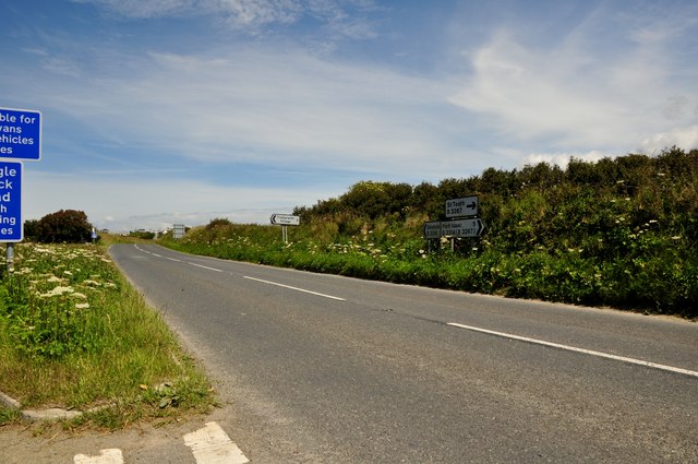
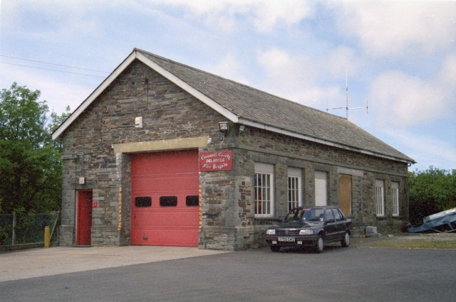
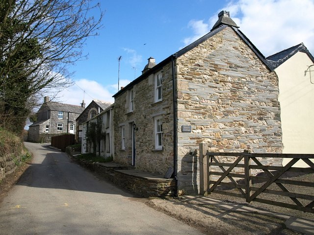
Westdowns Images

Images are sourced within 2km of 50.613058/-4.74422 or Grid Reference SX0582. Thanks to Geograph Open Source API. All images are credited.

North Cornwall : Country Road Heading along a country road in Cornwall which hugs the coast.
North Cornwall : Country Road
Heading along a country road in Cornwall which hugs the coast.
North Cornwall : Westdown Road Looking down Westdown Road from the road junction with a country lane.
North Cornwall : Westdown Road
Looking down Westdown Road from the road junction with a country lane.
Dismantled railway Dismantled North Cornwall Railway viewed from a bridge to the north of St Teath.
Dismantled railway
Dismantled North Cornwall Railway viewed from a bridge to the north of St Teath.
Dismantled North Cornwall Railway View to the south along the dismantled North Cornwall Railway.
Dismantled North Cornwall Railway
View to the south along the dismantled North Cornwall Railway.
The Bettle and Chisel, Delabole Public house on the B3314 in the village of Delabole.
The Bettle and Chisel, Delabole
Public house on the B3314 in the village of Delabole.
Delabole church Delabole church is dedicated to St John, it is sutuated beside the B3314.
Delabole church
Delabole church is dedicated to St John, it is sutuated beside the B3314.
Delabole The B3314 passing through the village of Delabole.
Delabole
The B3314 passing through the village of Delabole.
Charlottes Way, Delabole
Spar shop, Delabole Spar shop opposite the Bettle and Chesil pub in Delabole.
Spar shop, Delabole
Spar shop opposite the Bettle and Chesil pub in Delabole.
Millennium Clock Tower Millennium clock tower beside the B3314 in Delabole.  A plaque on this clock tower reads: 'Presented by St Teath Parish Council Millennium Celebrations July 2000, unveiled by George Hamilton managing director of The Delabole Slate Company'.
Millennium Clock Tower
Millennium clock tower beside the B3314 in Delabole. A plaque on this clock tower reads: 'Presented by St Teath Parish Council Millennium Celebrations July 2000, unveiled by George Hamilton managing director of The Delabole Slate Company'.
War Memorial, Delabole War Memorial in the village of Delabole.
War Memorial, Delabole
War Memorial in the village of Delabole.
Slate cottages, Pengelly, Delabole The slate probably came from the quarry down the road.  Just visible are the chunks of quartz decorating the dormer fronts and the lintels over the windows and doors.
Slate cottages, Pengelly, Delabole
The slate probably came from the quarry down the road. Just visible are the chunks of quartz decorating the dormer fronts and the lintels over the windows and doors.
The Bettle and Chisel, Delabole An attractive St Austell house.
The Bettle and Chisel, Delabole
An attractive St Austell house.
Slate cottages, Pengelly, Delabole These possibly had something to do with the railway (closed 1966), which ran roughly left-to-right across the picture. See: <span class="nowrap"><a title="http://en.wikipedia.org/wiki/North_Cornwall_Railway" rel="nofollow ugc noopener" href="http://en.wikipedia.org/wiki/North_Cornwall_Railway">Link</a><img style="margin-left:2px;" alt="External link" title="External link - shift click to open in new window" src="https://s1.geograph.org.uk/img/external.png" width="10" height="10"/></span>
Slate cottages, Pengelly, Delabole
These possibly had something to do with the railway (closed 1966), which ran roughly left-to-right across the picture. See: LinkExternal link
Slate cottages, Pengelly, Delabole
St John's Church, Delabole Yet another view, showing its location on the main road through the village and adjacent modern bungalows.
St John's Church, Delabole
Yet another view, showing its location on the main road through the village and adjacent modern bungalows.
Delabole Slate Quarry
Former Methodist Chapel, Pengelly, Delabole Methodism was always strong in Cornwall ever since the Wesleys came to preach in 1743, but this chapel, which once served the slate workers of Delabole Quarry, now appears to be disused.
Former Methodist Chapel, Pengelly, Delabole
Methodism was always strong in Cornwall ever since the Wesleys came to preach in 1743, but this chapel, which once served the slate workers of Delabole Quarry, now appears to be disused.
Show me another place!

Westdowns is located at Grid Ref: SX0582 (Lat: 50.613058, Lng: -4.74422)

Unitary Authority: Cornwall

Police Authority: Devon and Cornwall

What 3 Words

///positives.lunged.connector. Near Delabole, Cornwall

Nearby Locations

St. Teath Westdowns

Related Wikis

Westdowns

Westdowns (sometimes spelt incorrectly as Westdown) is a small hamlet in north Cornwall, England, United Kingdom. It lies half-a-mile south-west of Delabole...

Delabole

Delabole (Cornish: Delyow Boll) is a large village and civil parish in north Cornwall, England, United Kingdom, which lies approximately two miles (3 km...

Pengelly

Pengelly (Cornish: Penn-gelli) is a hamlet in north Cornwall, England, United Kingdom, part of the village and civil parish of Delabole which was until...

Trewalder

Trewalder is a hamlet in Cornwall, England, United Kingdom. It is about one mile south of Delabole. == References == Media related to Trewalder at Wikimedia...

Nearby Amenities

Located within 500m of 50.613058,-4.74422
Westdowns
Is In: Cornwall, England, UK
Is In Country: England
Is In Country Code: GB
Is In County: Cornwall
Place: hamlet
Wikidata: Q7984989
Lat/Long: 50.6127548/-4.744938
Bus Stop
Telephone Box
Bench: no
Bin: no
Bus: yes
Lit: no
Naptan AtcoCode: 0800COA15027
Naptan Bearing: SW
Naptan CommonName: Telephone Box
Naptan NaptanCode: cordmadj
Naptan Street: B3314
Naptan Verified: no
Public Transport: platform
Shelter: yes
Source: naptan_import
Tactile Paving: no
Lat/Long: 50.6129301/-4.7443277
Passing Place
Lat/Long: 50.6137197/-4.7475003
Give Way
Lat/Long: 50.6103211/-4.7441617
Give Way
Lat/Long: 50.6105314/-4.7441483
Give Way
Lat/Long: 50.6142356/-4.7430993
Give Way
Lat/Long: 50.616031/-4.7405953
Give Way
Lat/Long: 50.6122177/-4.7452237
Give Way
Lat/Long: 50.6122854/-4.7453064
Give Way
Lat/Long: 50.613052/-4.7441624
Give Way
Lat/Long: 50.6145116/-4.7428144
Give Way
Lat/Long: 50.6086102/-4.7439774
Roughpark
Place: locality
Lat/Long: 50.6131809/-4.7475162
Power: pole
Lat/Long: 50.6090651/-4.7460278
Bench
Backrest: yes
Survey Date: 2022-04-02
Lat/Long: 50.6145754/-4.7428592
Passing Place
Lat/Long: 50.6147802/-4.7482451
Passing Place
Lat/Long: 50.6141723/-4.748006
Passing Place
Lat/Long: 50.6125914/-4.7457309
Passing Place
Lat/Long: 50.6171485/-4.7424406
Power: pole
Lat/Long: 50.613374/-4.745548
Power: pole
Lat/Long: 50.6141777/-4.7448992
Power: pole
Lat/Long: 50.615025/-4.7442365
Power: pole
Lat/Long: 50.615948/-4.7435223
Power: pole
Lat/Long: 50.6167401/-4.7429218
Power: pole
Lat/Long: 50.6101005/-4.746236
Power: pole
Lat/Long: 50.6110701/-4.7464709
Power: pole
Lat/Long: 50.611894/-4.7466703
Power: pole
Lat/Long: 50.6127682/-4.7458623
Power: pole
Lat/Long: 50.6169971/-4.7409638
Power: pole
Lat/Long: 50.6164504/-4.7400601
St Anthony's Cottage
Place: isolated_dwelling
Lat/Long: 50.6160837/-4.7430074
The data included in this document is from www.openstreetmap.org. The data is made available under ODbL.

Have you been to Westdowns?

Leave your review of Westdowns below (or comments, questions and feedback).