Red Hills Wood
Wood, Forest in Westmorland South Lakeland
England
Red Hills Wood
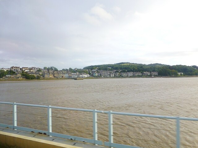
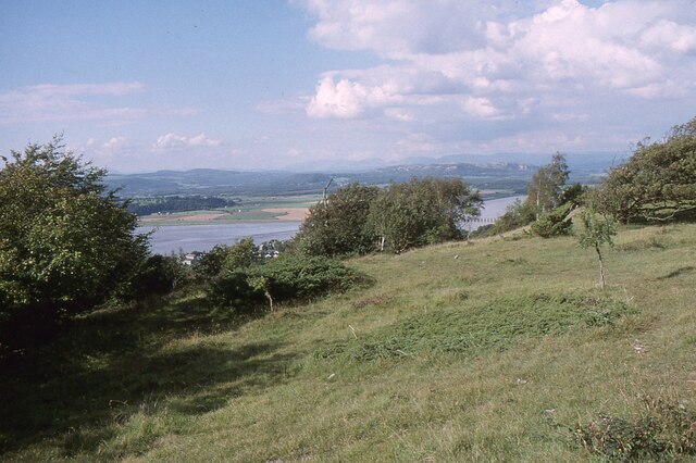
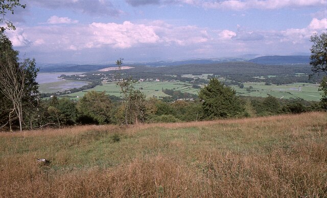
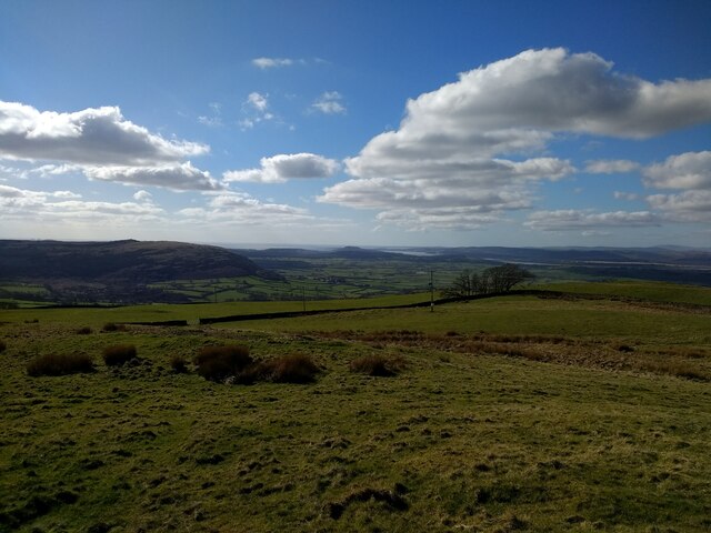
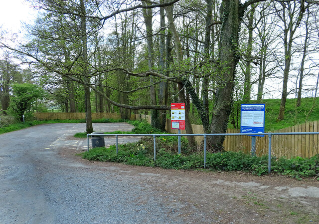
Red Hills Wood is a stunning and picturesque forest located in the district of Westmorland, England. Covering an area of approximately 500 acres, this wood is renowned for its natural beauty and diverse range of flora and fauna.
The forest is characterized by its dense and lush vegetation, consisting of a variety of deciduous and coniferous trees such as oak, beech, pine, and spruce. These trees provide a canopy that creates a serene and peaceful atmosphere, making it a popular destination for nature enthusiasts and hikers.
Red Hills Wood is home to a rich and diverse wildlife population. Visitors may come across various species of birds, including woodpeckers, owls, and warblers, as well as small mammals like squirrels, rabbits, and foxes. The forest also supports a range of insect life, including butterflies and bees.
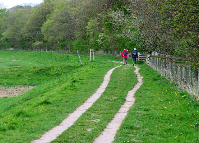
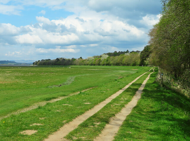
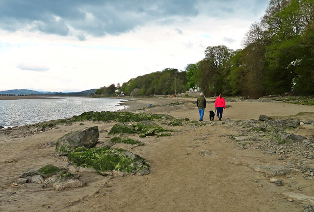
The wood offers a range of recreational activities for visitors. There are well-maintained walking trails that allow individuals to explore the forest at their own pace. These trails lead to scenic viewpoints, where breathtaking views of the surrounding countryside can be enjoyed. Additionally, the wood has designated picnic areas where families and friends can gather and relax amidst the tranquil surroundings.
Red Hills Wood is managed by the local forestry commission, ensuring its preservation and protection for future generations to enjoy. The wood is open to the public throughout the year, and there is no entrance fee. It is advisable to wear appropriate footwear and bring insect repellent when visiting to fully appreciate all that Red Hills Wood has to offer.
If you have any feedback on the listing, please let us know in the comments section below.
Red Hills Wood Images
Images are sourced within 2km of 54.190957/-2.8302436 or Grid Reference SD4577. Thanks to Geograph Open Source API. All images are credited.

Red Hills Wood is located at Grid Ref: SD4577 (Lat: 54.190957, Lng: -2.8302436)
Administrative County: Cumbria
District: South Lakeland
Police Authority: Cumbria
What 3 Words
///takeovers.subsets.rewriting. Near Arnside, Cumbria
Nearby Locations
Related Wikis

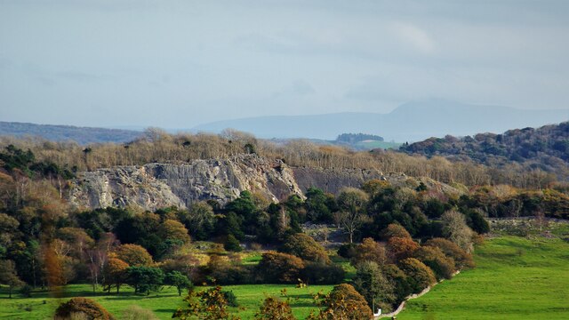
Arnside Knott
Arnside Knott is a hill with a summit elevation of 159 metres (522 ft), near Arnside, Cumbria, England. Although it is in South Lakeland district it is...
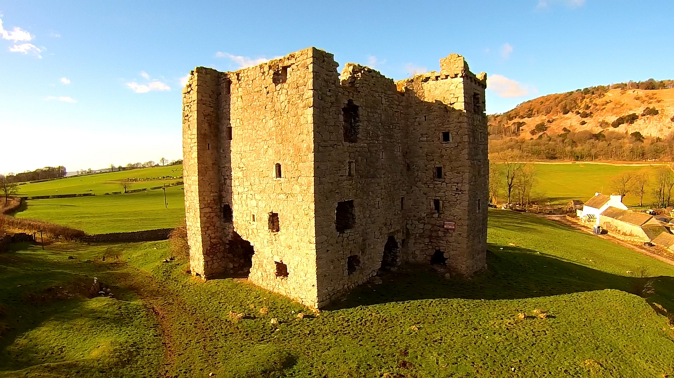
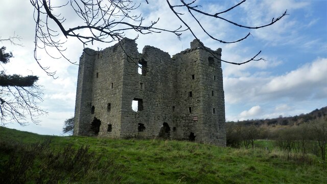
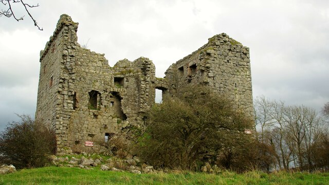
Arnside Tower
Arnside Tower is a late-medieval tower house (or Pele tower) between Arnside and Silverdale immediately to the south of Arnside Knott in Cumbria, England...

Arnside
Arnside is a village and civil parish in Cumbria, historically part of Westmorland, near the border with Lancashire, England. The Lake District National...
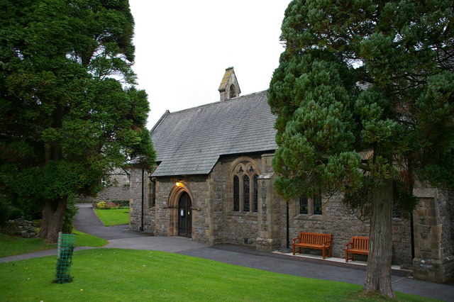
St James' Church, Arnside
St James' Church is in the village of Arnside, Cumbria, England. It is an active Anglican parish church in the deanery of Kendal, the archdeaconry of...
Arnside Bore
The Arnside Bore is a tidal bore on the estuary of the River Kent in England, United Kingdom.The bore occurs at high tides, especially spring tides, where...

Limestone Link (Cumbria)
The Limestone Link is a waymarked footpath in South Lakeland, Cumbria, England, connecting Arnside and Kirkby Lonsdale, a distance of 13 miles (21 km)...
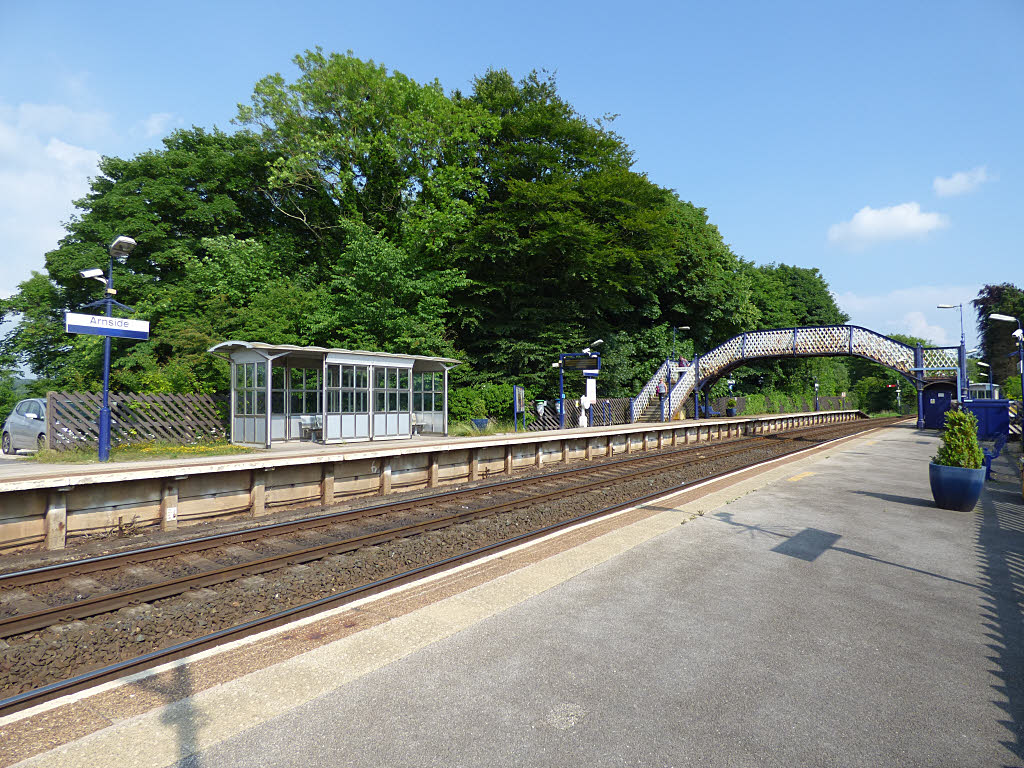
Arnside railway station
Arnside is a railway station on the Furness Line, which runs between Barrow-in-Furness and Lancaster. The station, situated 12+1⁄4 miles (20 km) north...

Far Arnside
Far Arnside is a hamlet in Arnside civil parish in the South Lakeland district, Cumbria, England. == Location == It is located near the large villages...
Related Videos

Welcome to Silverdale Holiday Park, Cumbria
Our flagship park, part of the Holgates Family Group since 1956, Silverdale Holiday Park provides the perfect holiday whatever ...

Silverdale, Arnside & Holgates Site Review, Cumbria
Caravan trip to Holgates Silverdale and our adventures around Silverdale and Arnside Area Of Outstanding Natural Beauty ...

Nearby Amenities
Located within 500m of 54.190957,-2.8302436Have you been to Red Hills Wood?
Leave your review of Red Hills Wood below (or comments, questions and feedback).