Round Castle
Heritage Site in Oxfordshire West Oxfordshire
England
Round Castle
Round Castle is a historic heritage site located in Oxfordshire, England. Situated near the village of Kidlington, this medieval moated enclosure holds great historical significance. The castle is known for its unique circular shape, which sets it apart from the more common square or rectangular castle designs of its time.
Thought to have been built in the 12th century, Round Castle was originally constructed as a fortified manor house. It was surrounded by a deep moat, which served as a defensive barrier. The castle's circular design was likely chosen to maximize its defensive capabilities, providing excellent visibility and eliminating blind spots.
Over the centuries, Round Castle has seen various alterations and additions. The castle's outer walls were strengthened and heightened during the 14th century, reflecting the turbulent times it endured. Despite its fortified nature, it is believed that Round Castle was primarily used as a residence rather than a military stronghold.
Today, the castle stands as a well-preserved example of medieval architecture. Visitors can explore the site and admire the remains of the circular walls, which still exude a sense of grandeur and strength. The moat, although partly filled in, still surrounds the castle, further adding to its historical charm.
Round Castle is an important heritage site, representing the medieval history of Oxfordshire. It serves as a reminder of the region's past and offers visitors a glimpse into the architectural and defensive strategies employed during the Middle Ages.
If you have any feedback on the listing, please let us know in the comments section below.
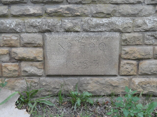
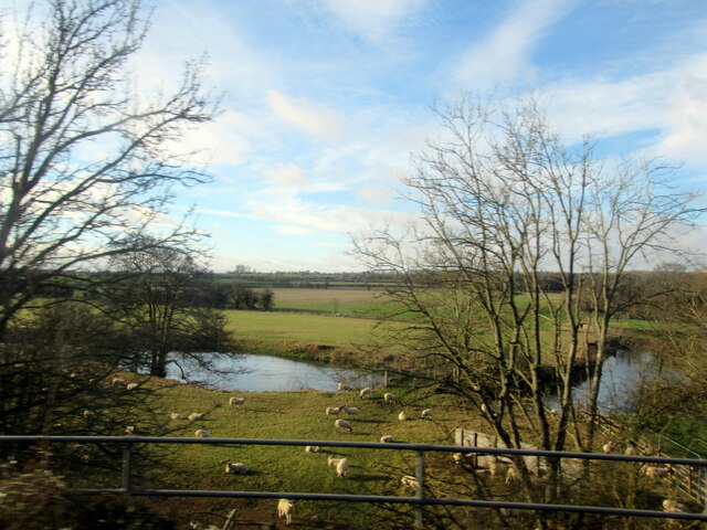
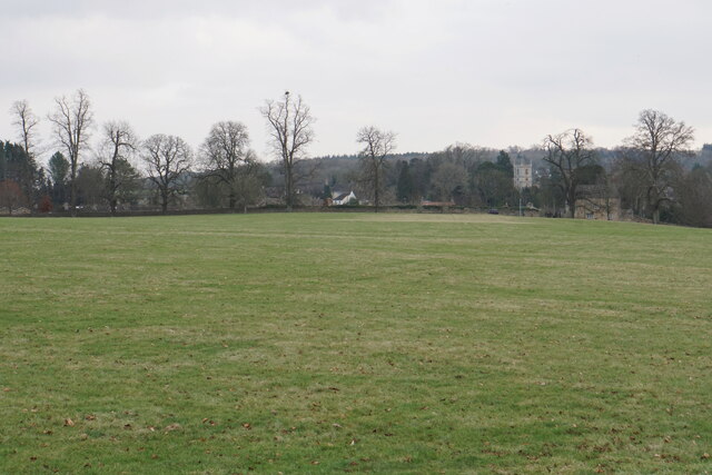
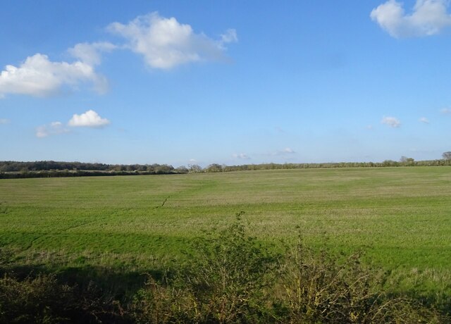
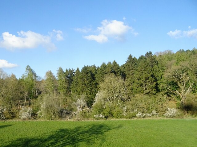
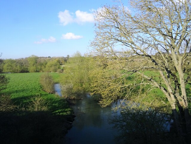
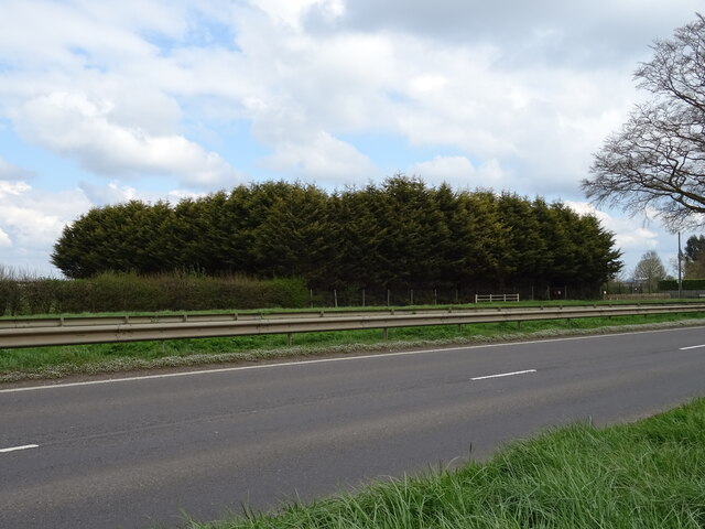
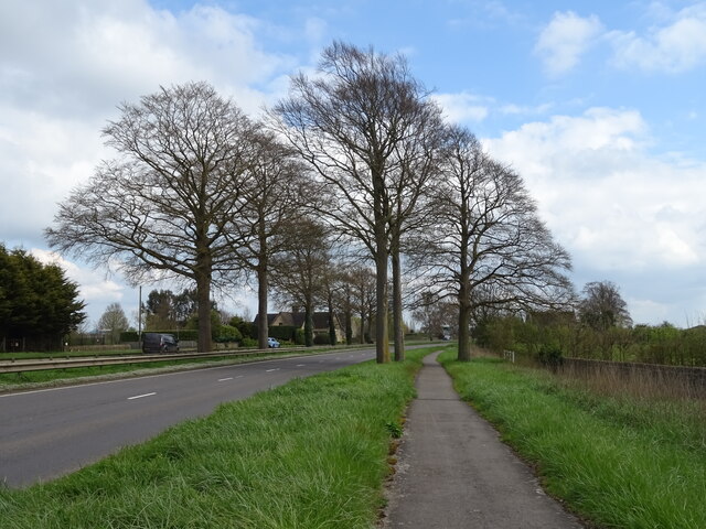
Round Castle Images
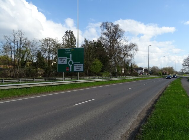
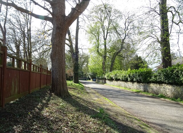
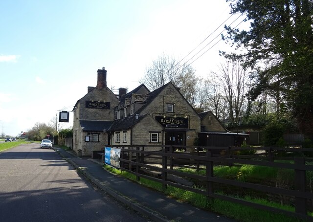
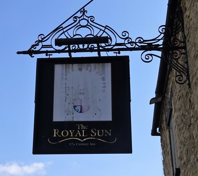
Images are sourced within 2km of 51.818/-1.34 or Grid Reference SP4513. Thanks to Geograph Open Source API. All images are credited.
Round Castle is located at Grid Ref: SP4513 (Lat: 51.818, Lng: -1.34)
Administrative County: Oxfordshire
District: West Oxfordshire
Police Authority: Thames Valley
What 3 Words
///scrubber.petition.swam. Near Yarnton, Oxfordshire
Nearby Locations
Related Wikis

Begbroke
Begbroke ( BEG-bruuk) is a village and civil parish in Oxfordshire about one mile (1.6 km) west of Kidlington and five miles (8 km) northwest of Oxford...

St Martin's Church, Bladon
St Martin's Church in Bladon near Woodstock, Oxfordshire, England, is the Church of England parish church of Bladon-with-Woodstock. It is also the mother...
Bladon
Bladon is a village and civil parish on the River Glyme about 6+1⁄2 miles (10.5 km) northwest of Oxford, Oxfordshire, England. It is where Sir Winston...

River Glyme
The River Glyme is a river in Oxfordshire, England. It is a tributary of the River Evenlode. It rises about 1 mile (1.6 km) east of Chipping Norton, and...
Nearby Amenities
Located within 500m of 51.818,-1.34Have you been to Round Castle?
Leave your review of Round Castle below (or comments, questions and feedback).