Round Dikes
Heritage Site in Yorkshire
England
Round Dikes

The requested URL returned error: 429 Too Many Requests
If you have any feedback on the listing, please let us know in the comments section below.
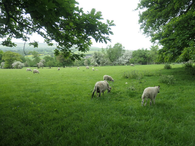
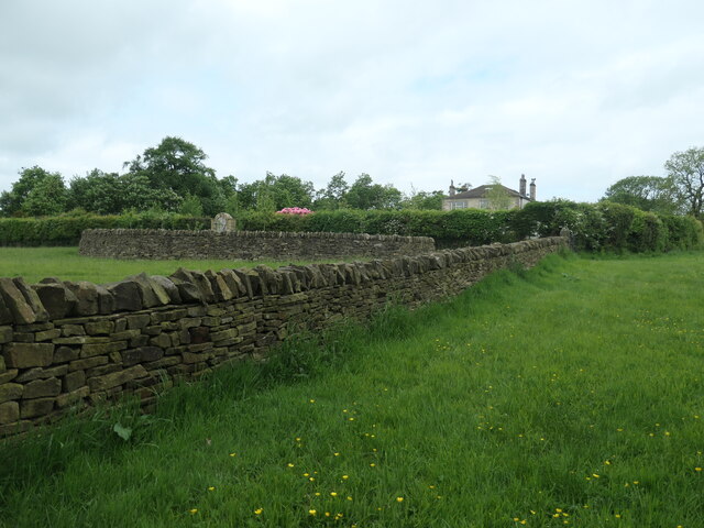
Round Dikes Images
Images are sourced within 2km of 53.95/-1.917 or Grid Reference SE0550. Thanks to Geograph Open Source API. All images are credited.
Old Boundary Marker on Drughton Moor
Boundary Marker inscribed in the right-hand gatepost on Draughton Moor 730 metres north of Bank End Farm. Draughton parish. Inscribed JC, probably the initials of a landowner. See also Link.
Milestone Society National ID: YW_DRAJC04bm


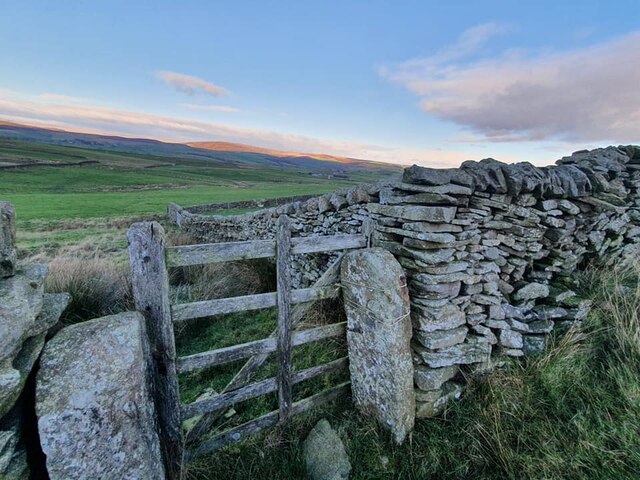
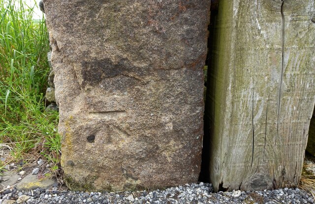
Draughton Heights
The benchmark is cut into the left hand gatepost on the south side of the lane.
Draughton Heights
There is a benchmark cut into the left hand gatepost of this gateway on the south side of the lane.
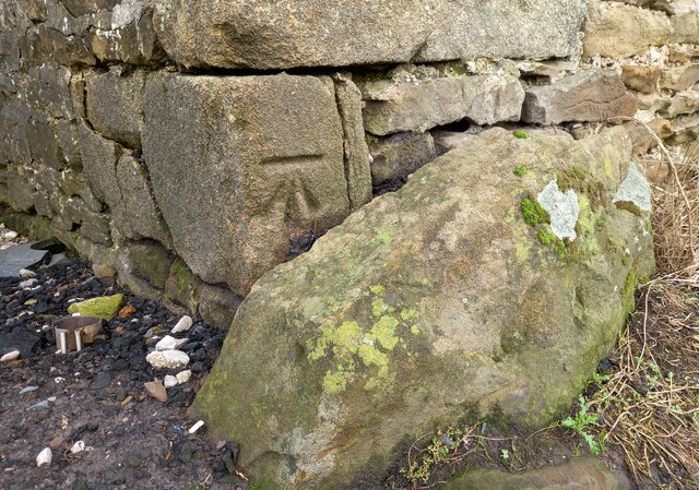
Draughton Riding Centre
The benchmark is cut into a left hand corner stone of the old agricultural farm building.
Draughton Riding Centre
There is a benchmark cut into a left hand corner stone of the old agricultural farm building.
Chelker Reservoir
The benchmark is cut into the north-east face of a gatepost on the north side of the reservoir.
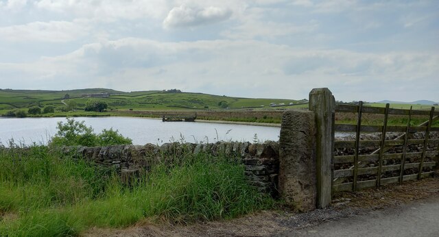
Chelker Reservoir
There is a benchmark cut into the north-east face of a gatepost on the north side of the reservoir. The busy A65 Leeds/Skipton/Kirkby Lonsdale road can be seen in the background.
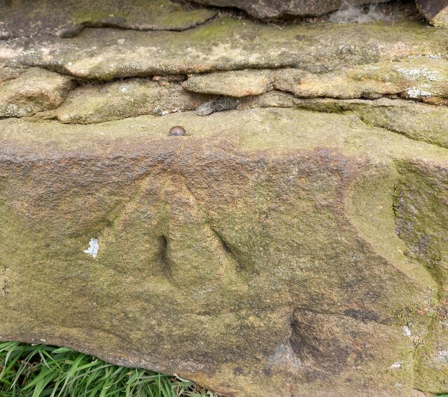
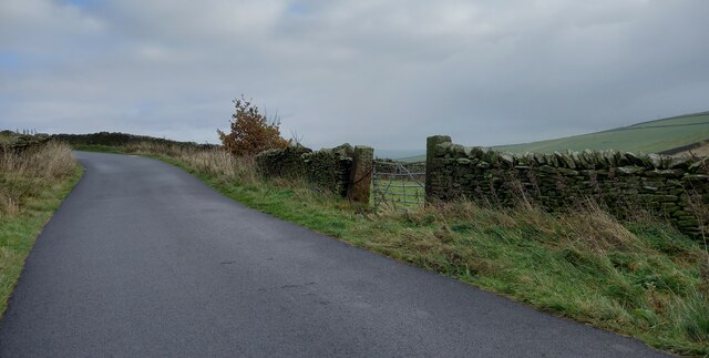
Draughton, Berwick East Farm track
The rivet benchmark is cut into a west angle wall corner on the track to Berwick East Farm. It is on the lowest course of stone.

Draughton, Berwick East Farm track
There is a rivet benchmark cut into the lowest course of stone on the west angled wall corner, to the right of the track.
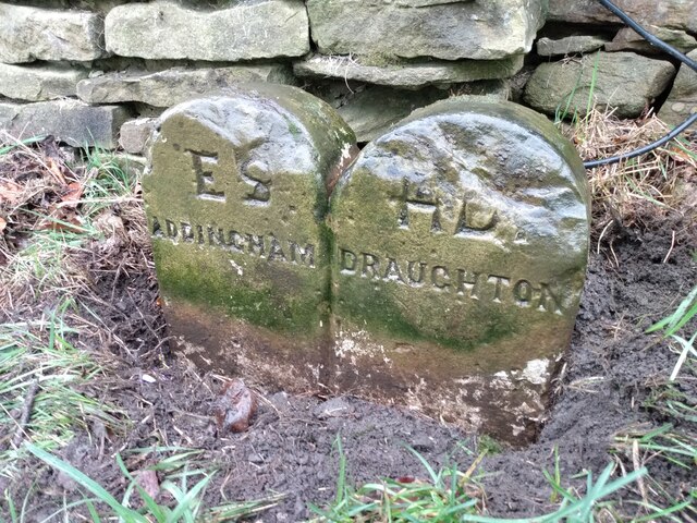
Old Boundary Marker on the A65 near Chelker Reservoir
Parish Boundary Marker formed by two similar stones side by side against a drystone wall on the southwest side of the A65, adjacent to a cattle crossing warning signal. Inscribed ES / ADDINGHAM and HD / DRAUGHTON. On the boundary of Addingham and Draughton parishes, and now between West and North Yorkshire. ESHD stands for East Staincliffe Highway District and this dates the stone between 1862 and 1894.
Milestone Society National ID: YW_ADDDRA01pb

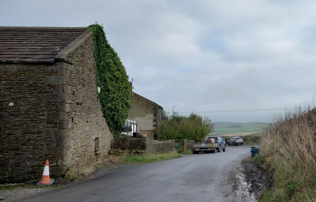
Wooded farmland near Walker Acre
Just north of Addingham, at the northern edge of Bradford MDC and West Yorkshire.
![High Laithe, from the north This farm building is shown on the large-scale OS map surveyed in 1850. It is now next to Bracken Ghyll golf course [founded 1993].](https://s2.geograph.org.uk/geophotos/07/49/65/7496554_49898d85.jpg)
High Laithe, from the north
This farm building is shown on the large-scale OS map surveyed in 1850. It is now next to Bracken Ghyll golf course [founded 1993].

Warning to footpath users, Bracken Ghyll golf course
The public footpath from Addingham to Highfield Farm crosses the golf course.
Highfield House, near Addingham
A house or farm called Highfield is shown here on the large-scale OS map surveyed in 1850. Seen from the public footpath from Addingham to Highfield Farm.

Elegant metal stile, near Highfield House
One of two here, on the public footpath from Addingham to Highfield Farm.
Round Dikes is located at Grid Ref: SE0550 (Lat: 53.95, Lng: -1.917)
Division: West Riding
Unitary Authority: Bradford
Police Authority: West Yorkshire
What 3 Words
///escapades.validated.certified. Near Addingham, West Yorkshire
Nearby Locations
Nearby Amenities
Located within 500m of 53.95,-1.917tumulus
Archaeological Site: tumulus
Historic: archaeological_site
Source: NPE;OS 1:25k
Lat/Long: 53.9469019/-1.9176038
Addingham Low Moor
Natural: moor
Source: NPE
Lat/Long: 53.9467762/-1.9155449
Counter Hill Ironage camp
Alt Name: Round Dikes
Historic: archaeological_site
Source Alt Name: OS 1:25k
Lat/Long: 53.9470869/-1.9171989
Have you been to Round Dikes?
Leave your review of Round Dikes below (or comments, questions and feedback).