Counter Hill
Hill, Mountain in Yorkshire
England
Counter Hill
Counter Hill is a prominent geographical feature located in the picturesque region of Yorkshire, England. Standing at an elevation of approximately 500 meters, it is classified as a hill rather than a mountain due to its relatively modest height. Despite its less imposing stature, Counter Hill offers breathtaking panoramic views of the surrounding landscape, making it a popular destination for hikers, nature enthusiasts, and photographers.
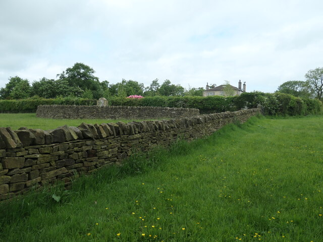
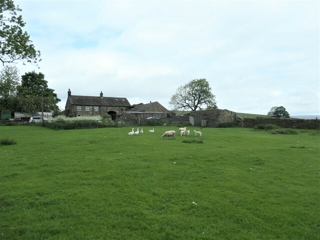
Situated in the heart of the Yorkshire Dales National Park, Counter Hill is characterized by its rolling green slopes and rugged terrain. The hill is composed primarily of limestone, which gives it a distinct appearance and contributes to the unique flora and fauna that can be found in the area. Its location within the national park also means that Counter Hill is home to a diverse range of wildlife, including various bird species, mammals, and insects.
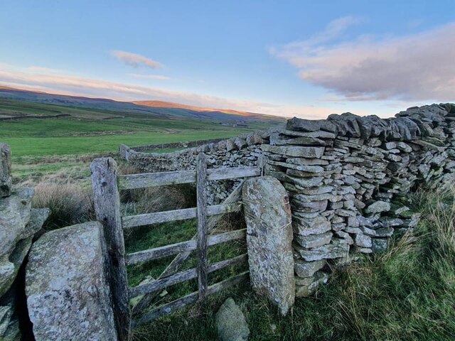
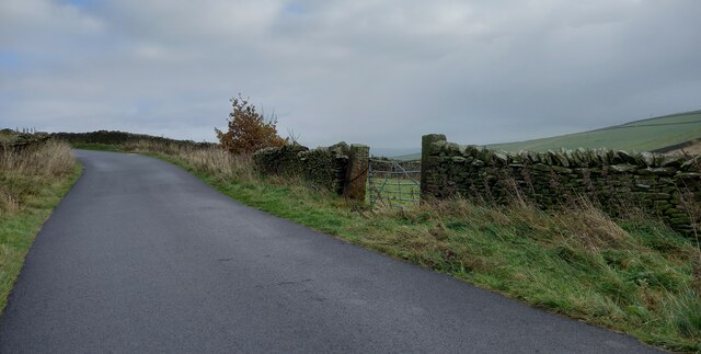
Access to Counter Hill is provided by a network of well-maintained footpaths and trails, allowing visitors to explore its natural beauty at their own pace. The hill's summit offers an ideal vantage point to admire the stunning views of the Yorkshire Dales, with its undulating valleys, meandering rivers, and charming villages nestled in the distance.
In addition to its natural attractions, Counter Hill is also steeped in history and folklore. It is believed to have played a role in ancient rituals and ceremonies, and there are remnants of old settlements and burial sites nearby. These historical elements add an extra layer of intrigue to the hill, making it a fascinating destination for those interested in the region's past.
Overall, Counter Hill in Yorkshire is a captivating destination that combines natural beauty, wildlife, and a rich historical heritage. Whether one seeks adventure, tranquility, or an opportunity to immerse oneself in nature, Counter Hill offers a truly unforgettable experience.
If you have any feedback on the listing, please let us know in the comments section below.
Counter Hill Images
Images are sourced within 2km of 53.9468/-1.9239374 or Grid Reference SE0550. Thanks to Geograph Open Source API. All images are credited.


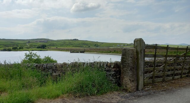


![Route of a water pipeline, below Chelker reservoir Bradford Corporation built the reservoir in 1866. It takes its water from the River Wharfe. The wall marks the boundary between Bradford, West Yorkshire [this side] and Craven, North Yorkshire [far side].](https://s2.geograph.org.uk/geophotos/07/49/67/7496730_5d4af560.jpg)
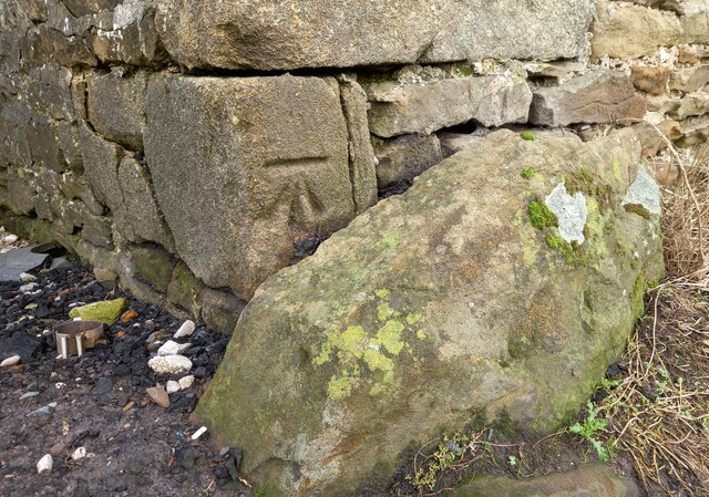
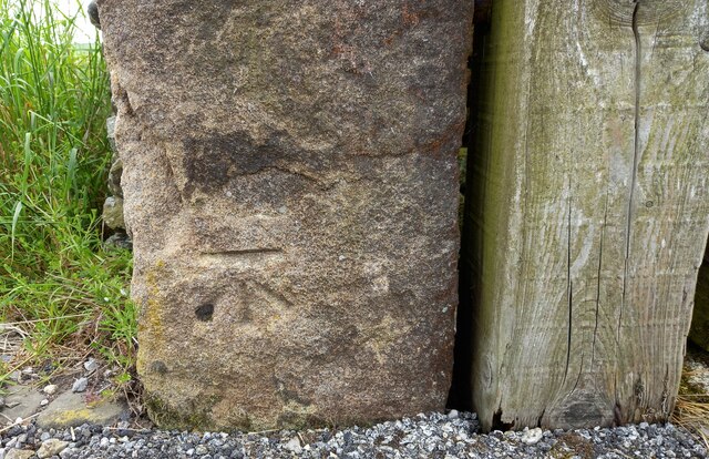
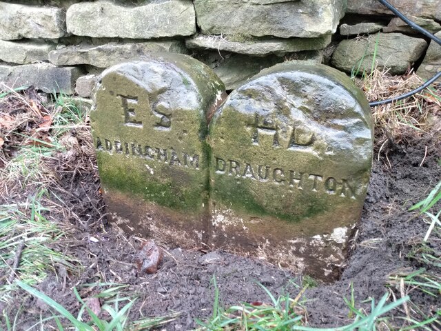
![Stile, boundary, boundary marker and valve house The stile carries the public footpath between Highfield Farm and Berwick East. The wall is the boundary between Bradford MDC, West Yorkshire [this / south side] and Craven, North Yorkshire [far / north side]. The BCWW boundary marker refers to Bradford Corporation Water Works, which opened the nearby Chelker reservoir in 1866. On the horizon is the valve house, which relates to the covered pipeline <a href="https://www.geograph.org.uk/photo/7496730">SE0651 : Route of a water pipeline, below Chelker reservoir</a> immediately to the right of this image.](https://s3.geograph.org.uk/geophotos/07/49/68/7496835_be682960.jpg)
Counter Hill is located at Grid Ref: SE0550 (Lat: 53.9468, Lng: -1.9239374)
Division: West Riding
Unitary Authority: Bradford
Police Authority: West Yorkshire
What 3 Words
///guesswork.unicorns.reshape. Near Addingham, West Yorkshire
Nearby Locations
Related Wikis

Chelker Reservoir
Chelker Reservoir is a man-made lake in North Yorkshire, England. It lies in the parish of Draughton, immediately north of the A65 road, between Skipton...

Draughton, North Yorkshire
Draughton (pronounced Draftun) is a village and civil parish, population 240, in the Craven district of North Yorkshire, England. It is situated 3 miles...
Craven (Bradford ward)
Craven is an electoral ward within the City of Bradford Metropolitan District Council, West Yorkshire, England. The population of the ward at the 2011...

Addingham railway station
Addingham railway station was on the Midland Railway route from Skipton to Ilkley. It served the village of Addingham in West Yorkshire, England. ��2...
Nearby Amenities
Located within 500m of 53.9468,-1.9239374Have you been to Counter Hill?
Leave your review of Counter Hill below (or comments, questions and feedback).