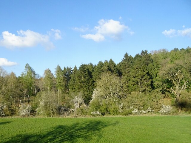
Worton Heath
Wood, Forest in Oxfordshire West Oxfordshire
England
Worton Heath
Worton Heath is a small village located in the county of Oxfordshire, England. Situated in the heart of the county, it is surrounded by picturesque countryside and rolling hills. The village is named after the old English words "wood" and "forest," indicating its close proximity to woodland areas.
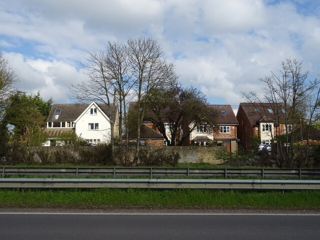
The village itself is quaint and charming, with a population of approximately 500 residents. It is known for its traditional thatched cottages and historic buildings, giving it a distinctively English countryside atmosphere. Worton Heath is also home to a beautiful parish church, St. Mary's, which dates back to the 12th century and is a popular attraction for visitors.
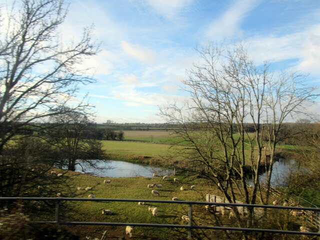
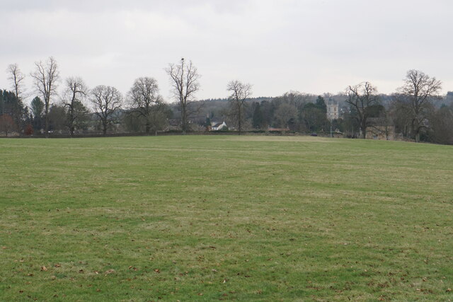
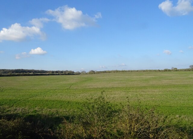
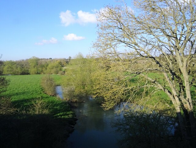
The surrounding area offers plenty of opportunities for outdoor activities, such as walking, cycling, and horseback riding. The village is located near several nature reserves and parks, including the Cotswolds Area of Outstanding Natural Beauty and the Blenheim Palace Estate. These provide stunning landscapes and diverse wildlife for nature enthusiasts to explore.
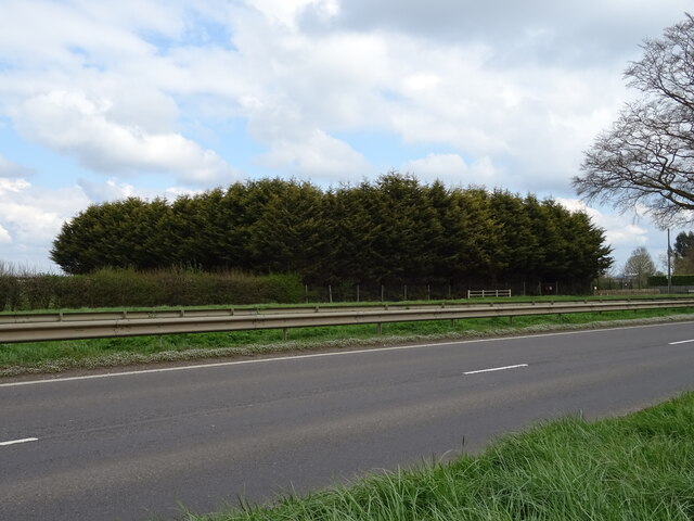
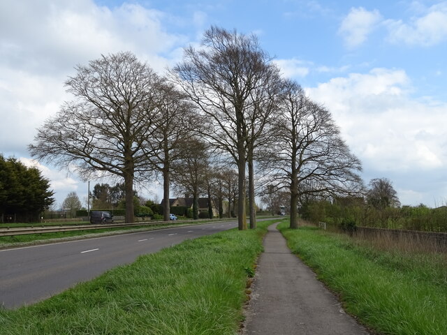
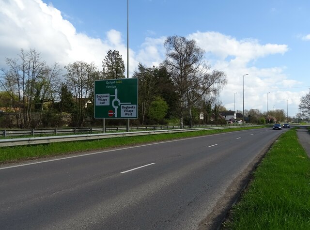
Despite its small size, Worton Heath benefits from good transport links. It is conveniently located near the A44 road, which connects to larger towns and cities in the region. The nearest train station is in the nearby town of Charlbury, providing easy access to Oxford and London.
Overall, Worton Heath is a peaceful and idyllic village, offering a tranquil retreat for those seeking a rural escape. With its natural beauty, historic charm, and convenient location, it is a hidden gem in the Oxfordshire countryside.
If you have any feedback on the listing, please let us know in the comments section below.
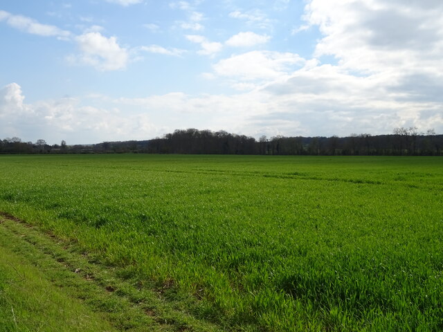
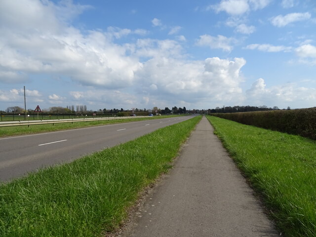
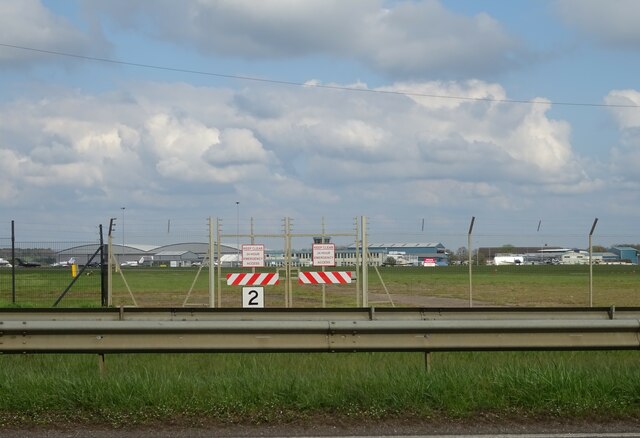
Worton Heath Images
Images are sourced within 2km of 51.818614/-1.3411623 or Grid Reference SP4513. Thanks to Geograph Open Source API. All images are credited.


Worton Heath is located at Grid Ref: SP4513 (Lat: 51.818614, Lng: -1.3411623)
Administrative County: Oxfordshire
District: West Oxfordshire
Police Authority: Thames Valley
What 3 Words
///kipper.jumped.frostbite. Near Yarnton, Oxfordshire
Nearby Locations
Related Wikis

St Martin's Church, Bladon
St Martin's Church in Bladon near Woodstock, Oxfordshire, England, is the Church of England parish church of Bladon-with-Woodstock. It is also the mother...

Begbroke
Begbroke ( BEG-bruuk) is a village and civil parish in Oxfordshire about one mile (1.6 km) west of Kidlington and five miles (8 km) northwest of Oxford...
Bladon
Bladon is a village and civil parish on the River Glyme about 6+1⁄2 miles (10.5 km) northwest of Oxford, Oxfordshire, England. It is where Sir Winston...

River Glyme
The River Glyme is a river in Oxfordshire, England. It is a tributary of the River Evenlode. It rises about 1 mile (1.6 km) east of Chipping Norton, and...

Worton (hamlet), Oxfordshire
Worton is a hamlet in Cassington civil parish, 4.5 miles (7.2 km) northwest of Oxford. == History == The Domesday Book records that in 1086 William FitzOsbern...
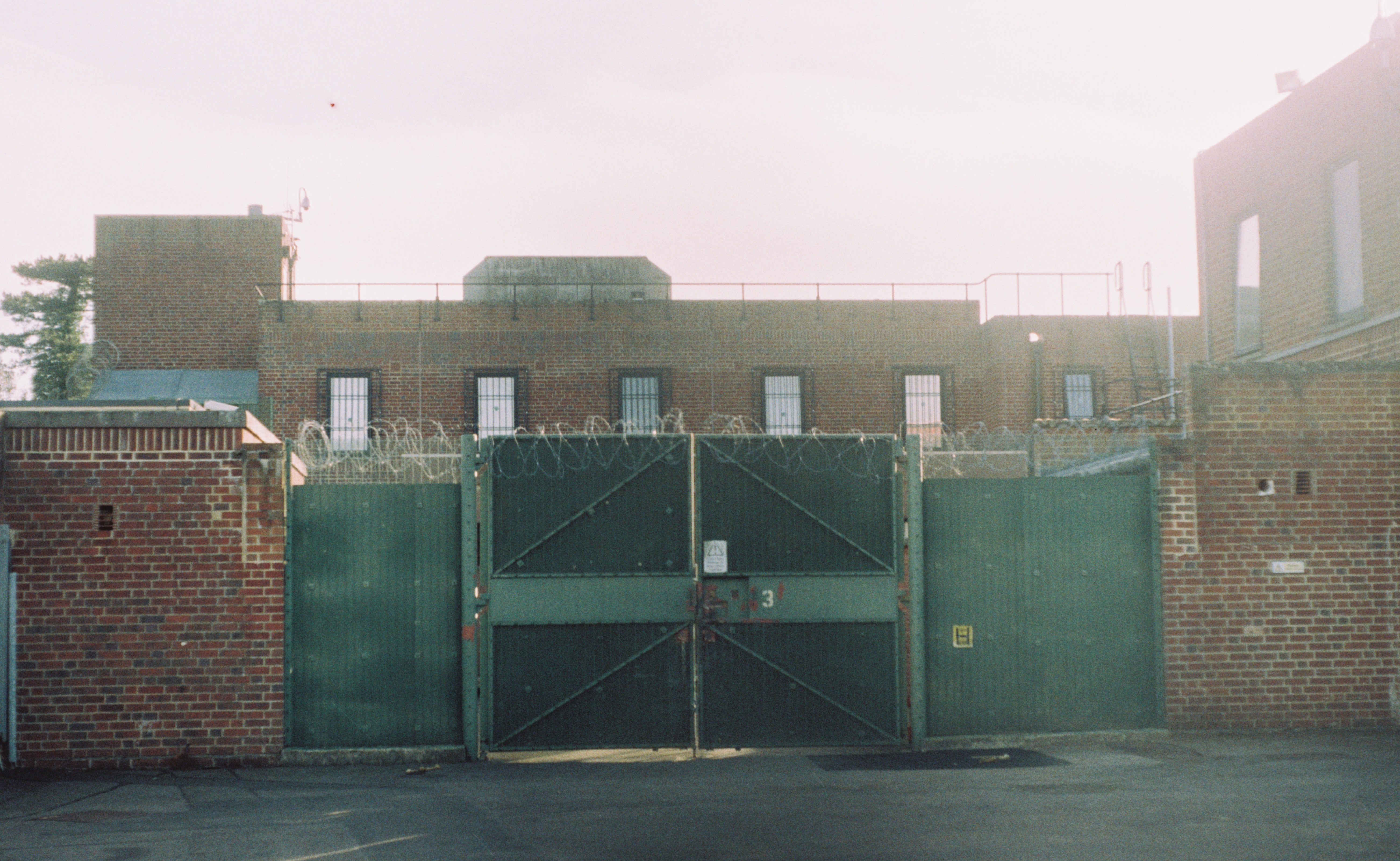
Campsfield House
Campsfield House was an immigration detention centre located in Kidlington near Oxford, England, operated by private prison firm Group 4 under contract...

Oxford Bus Museum
The Oxford Bus Museum is a transport museum at Long Hanborough, West Oxfordshire, England, about 4 miles (6.4 km) northeast of Witney and 7 miles (11 km...

Hanborough railway station
Hanborough railway station is a railway station in the village of Long Hanborough in Oxfordshire, England, serving the village and surrounding district...
Nearby Amenities
Located within 500m of 51.818614,-1.3411623Have you been to Worton Heath?
Leave your review of Worton Heath below (or comments, questions and feedback).