Round Barrow
Heritage Site in Dorset
England
Round Barrow
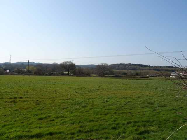
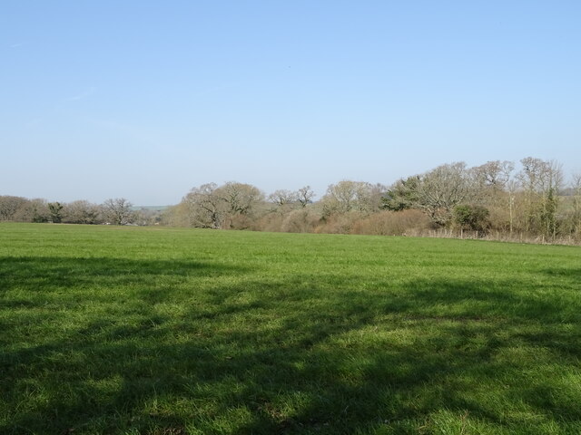
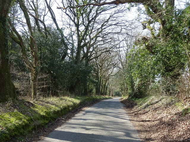
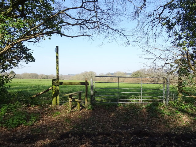
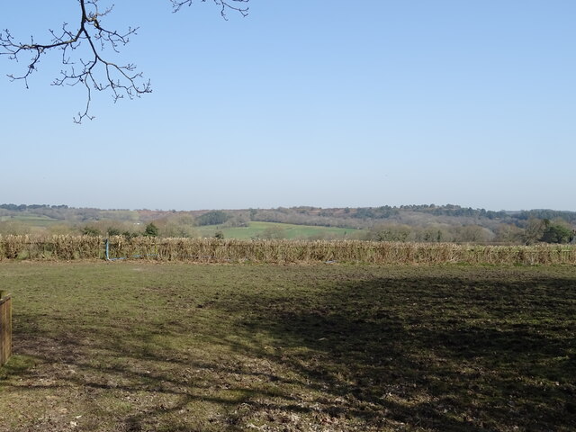
Round Barrow, located in Dorset, England, is a significant heritage site that dates back to the Bronze Age. Also known as a round mound, it is a type of burial mound or tumulus, commonly found in the region. This particular barrow is situated in a picturesque setting, surrounded by lush greenery and rolling hills.
The Round Barrow is a circular earthwork structure with a raised circular platform at the center. It is believed to have been constructed around 2,000 to 1,500 BC, making it over 3,000 years old. The barrow measures approximately 30 meters in diameter and 4 meters in height, making it an impressive monument from the ancient past.
The purpose of the Round Barrow was primarily as a burial site, where individuals of importance or high social standing were laid to rest. Archaeological excavations have revealed the presence of cremated human remains, pottery, and other burial goods, indicating the significance and reverence of this site for the Bronze Age community.
Visitors to Round Barrow can explore the site's history and marvel at its well-preserved structure, which is a testament to the engineering skills of the Bronze Age people. The site offers a unique opportunity to step back in time and gain insights into the burial practices and social structure of this ancient civilization.
Round Barrow, Dorset, is not only a significant archaeological site but also a place of natural beauty, attracting tourists and history enthusiasts alike. Its historical importance, combined with its scenic location, make it a must-visit destination for anyone interested in ancient civilizations and the rich heritage of Dorset.
If you have any feedback on the listing, please let us know in the comments section below.
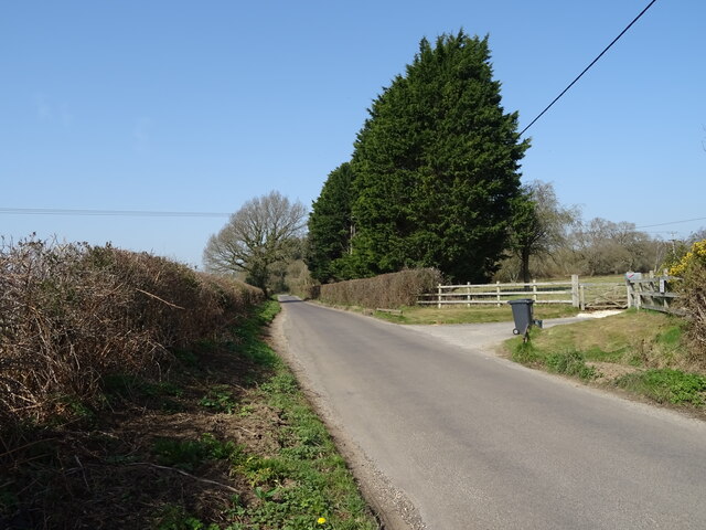
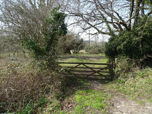
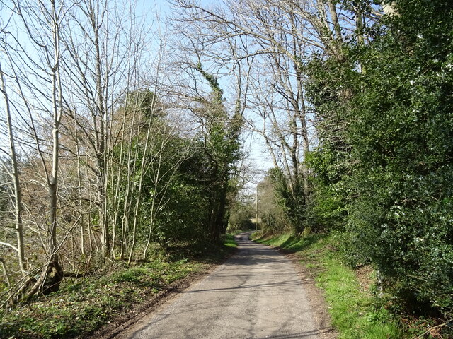
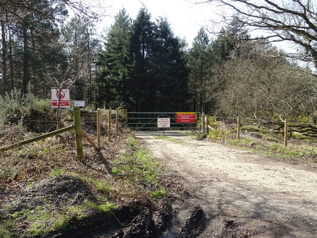
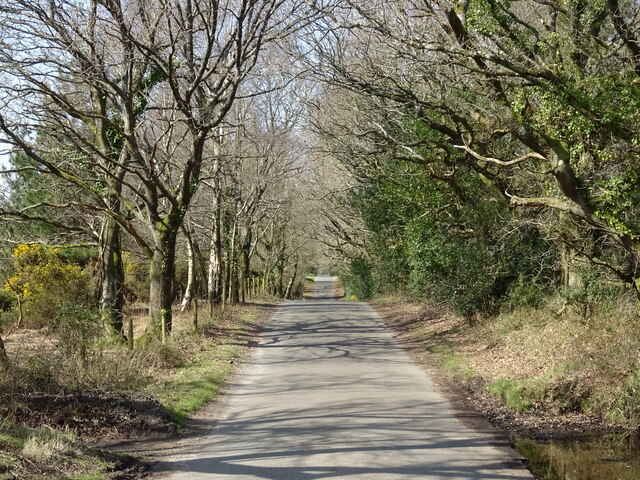
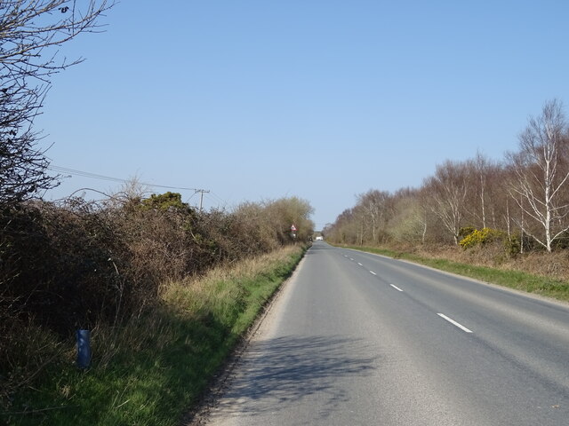
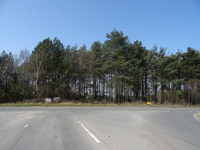
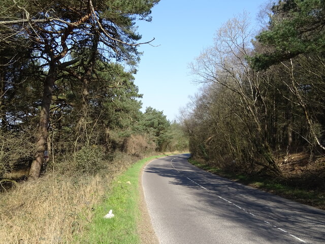
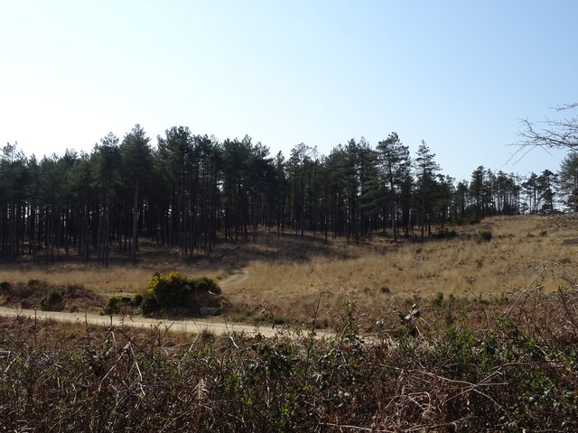
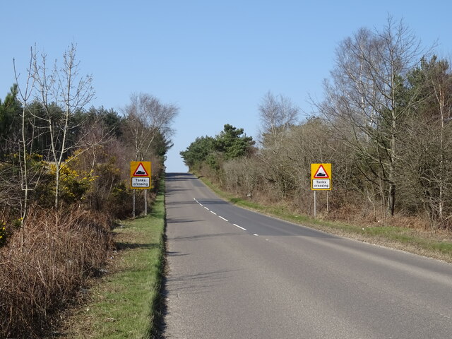
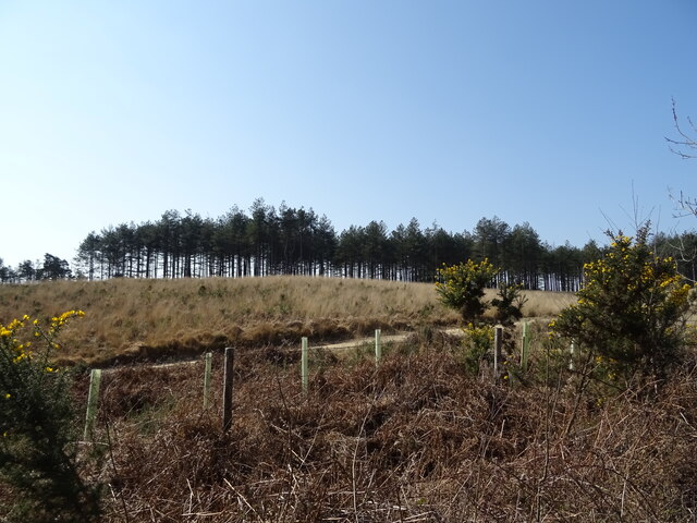
Round Barrow Images
Images are sourced within 2km of 50.722/-2.233 or Grid Reference SY8391. Thanks to Geograph Open Source API. All images are credited.

Round Barrow is located at Grid Ref: SY8391 (Lat: 50.722, Lng: -2.233)
Unitary Authority: Dorset
Police Authority: Dorset
What 3 Words
///envelope.brotherly.anyway. Near Bovington Camp, Dorset
Nearby Locations
Related Wikis

Turners Puddle
Turners Puddle is a village and former civil parish, now in the parish of Affpuddle and Turnerspuddle, in the Dorset district, in the ceremonial county...
Clouds Hill
Clouds Hill is an isolated cottage near Wareham in the county of Dorset in South West England. It is the former home of T. E. Lawrence ("Lawrence of Arabia...

Oakers Bog
Oakers Bog (grid reference SY813918) is a 30.7 hectare biological and geological Site of Special Scientific Interest in Dorset, notified in 1988. ��2...

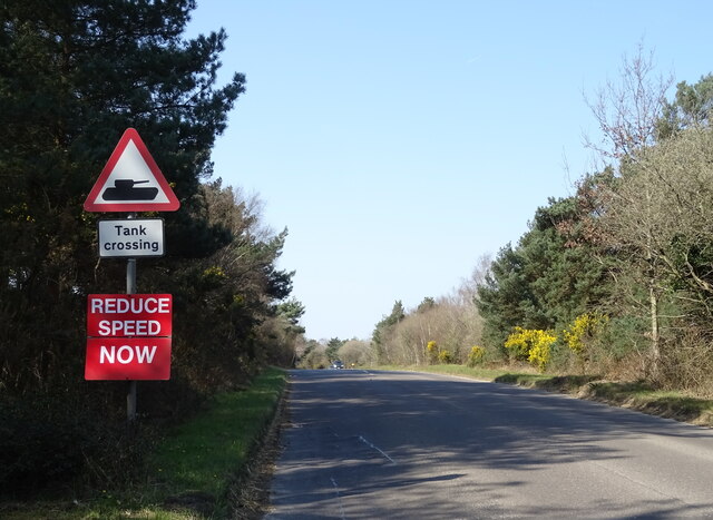
Bovington Camp
Bovington Camp () is a British Army military base in Dorset, England. Together with Lulworth Camp it forms part of Bovington Garrison. The garrison is...

Cull-Peppers Dish
Cull-Peppers Dish (grid reference SY814926) is a 0.9-hectare (2.2-acre) geological Site of Special Scientific Interest in Dorset, notified in 1989. �...
Bere Stream
Bere Stream (grid reference SY860926) is an 11.2 hectare biological Site of Special Scientific Interest in Dorset, notified in 1977. == Sources == English...

Briantspuddle
Briantspuddle is a small village in the Piddle Valley in Dorset, England, near the villages of Affpuddle and Tolpuddle and about 8 miles (13 km) east of...
Black Hill Heath
Black Hill Heath (grid reference SY835943) is a 69.67 hectare biological Site of Special Scientific Interest in Dorset, notified in 1989. == Sources... ==
Nearby Amenities
Located within 500m of 50.722,-2.233Have you been to Round Barrow?
Leave your review of Round Barrow below (or comments, questions and feedback).