Plague Stone

Heritage Site in Staffordshire Staffordshire Moorlands

England

Plague Stone

Farm buildings south-east of Leek, Staffordshire Seen from a passing train on the Churnet Valley Railway.
Farm buildings south-east of Leek, Staffordshire Credit: Roger Kidd

Plague Stone is a historically significant heritage site located in the county of Staffordshire, England. It is an ancient stone monument that holds great cultural and historical importance. The stone is situated in a remote area near the village of Endon, and it is believed to date back to the 17th century.

The Plague Stone is a large, rough-hewn boulder that stands approximately 6 feet tall. It is said to have been erected as a precautionary measure during the time of the Great Plague in England, which ravaged the country in the mid-1660s. The purpose of the stone was to act as a boundary marker and a meeting point for those affected by the plague to safely communicate with the outside world without spreading the disease.

Local folklore suggests that the stone was used as a place for people to leave money or goods in exchange for essential supplies, which would be left by villagers from a safe distance. This practice aimed to prevent direct contact and minimize the risk of contagion. The Plague Stone's location in a remote area made it an ideal meeting point for such transactions.

Today, the Plague Stone stands as a testament to the resilience and ingenuity of the people during challenging times. It serves as a reminder of the devastating impact of the Great Plague and the measures taken by communities to protect themselves. The site attracts visitors interested in history and offers a glimpse into the past, allowing them to connect with the hardships faced by their ancestors.

If you have any feedback on the listing, please let us know in the comments section below.
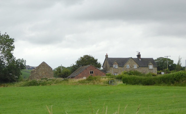
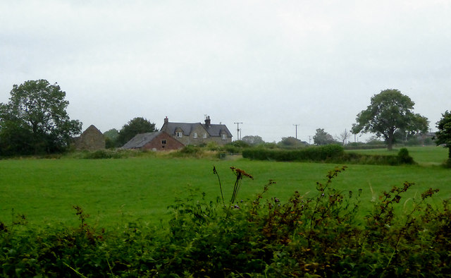
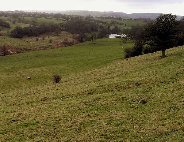
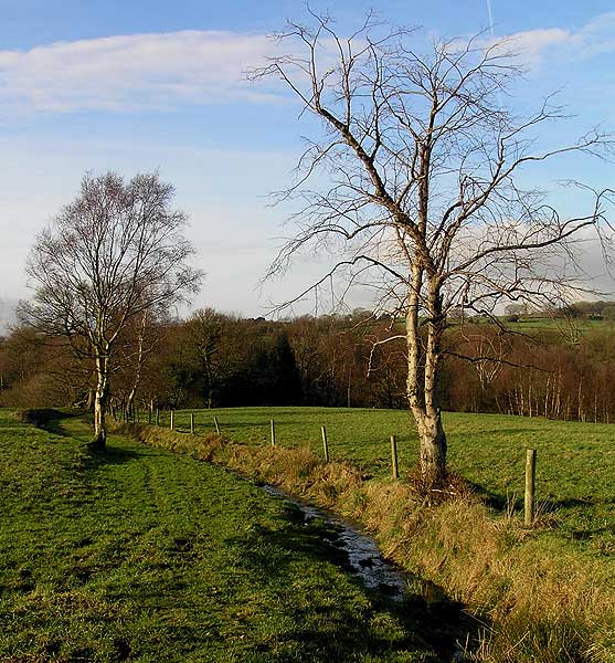
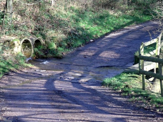
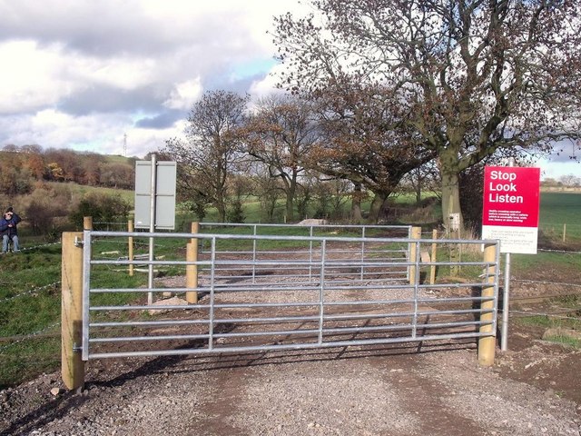
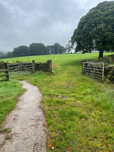
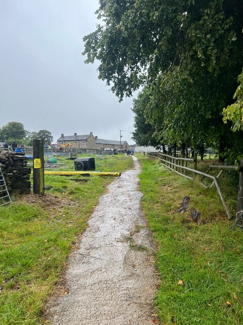
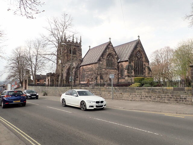
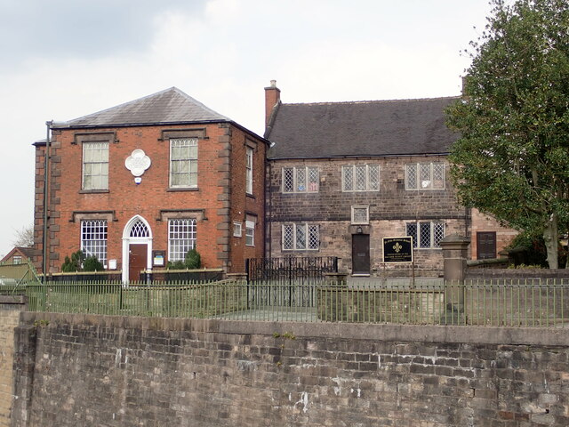
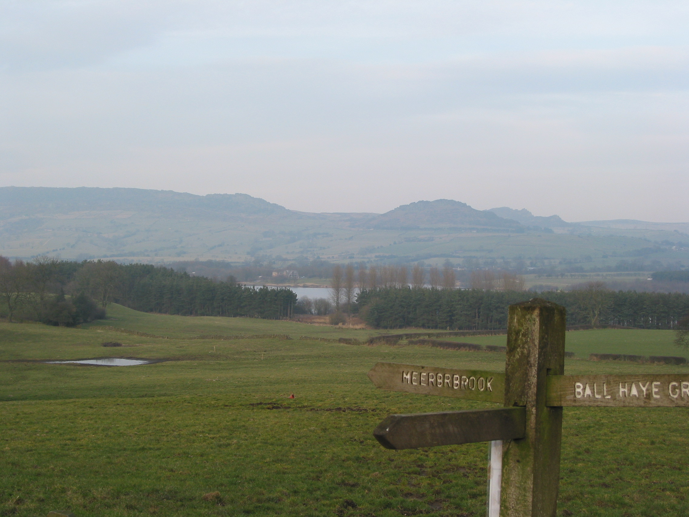
Plague Stone Images

Images are sourced within 2km of 53.097/-2.022 or Grid Reference SJ9855. Thanks to Geograph Open Source API. All images are credited.

Farm buildings south-east of Leek, Staffordshire Seen from a passing train on the Churnet Valley Railway.
Farm buildings south-east of Leek, Staffordshire
Seen from a passing train on the Churnet Valley Railway.
Farm buildings south-east of Leek, Staffordshire Buildings at Cliff Farm seen from a passing train on the Churnet Valley Railway.
Farm buildings south-east of Leek, Staffordshire
Buildings at Cliff Farm seen from a passing train on the Churnet Valley Railway.
Railway trackside south-east of Leek, Staffordshire A public footpath crosses the line here near Cliff Farm.

The preserved Churnet Valley Railway operates steam and diesel (sometimes both!) locomotives to haul trains between Kingsley and Froghall Station to Cheddleton, and sometimes beyond to Ipstones. <span class="nowrap"><a title="https://www.churnet-valley-railway.co.uk/" rel="nofollow ugc noopener" href="https://www.churnet-valley-railway.co.uk/">Link</a><img style="margin-left:2px;" alt="External link" title="External link - shift click to open in new window" src="https://s1.geograph.org.uk/img/external.png" width="10" height="10"/></span>
Railway trackside south-east of Leek, Staffordshire
A public footpath crosses the line here near Cliff Farm. The preserved Churnet Valley Railway operates steam and diesel (sometimes both!) locomotives to haul trains between Kingsley and Froghall Station to Cheddleton, and sometimes beyond to Ipstones. LinkExternal link
Farmland by the railway near Bradnop, Staffordshire Seen from a passing train approaching the footpath crossing near Cliff Farm.

The preserved Churnet Valley Railway operates steam and diesel (sometimes both!) locomotives to haul trains between Kingsley and Froghall Station to Cheddleton, and sometimes beyond to Ipstones. <span class="nowrap"><a title="https://www.churnet-valley-railway.co.uk/" rel="nofollow ugc noopener" href="https://www.churnet-valley-railway.co.uk/">Link</a><img style="margin-left:2px;" alt="External link" title="External link - shift click to open in new window" src="https://s1.geograph.org.uk/img/external.png" width="10" height="10"/></span>
Farmland by the railway near Bradnop, Staffordshire
Seen from a passing train approaching the footpath crossing near Cliff Farm. The preserved Churnet Valley Railway operates steam and diesel (sometimes both!) locomotives to haul trains between Kingsley and Froghall Station to Cheddleton, and sometimes beyond to Ipstones. LinkExternal link
Farm land south-east of Leek, Staffordshire Seen from a passing train, this telephoto assisted image shows Wildgoose Farm.
Farm land south-east of Leek, Staffordshire
Seen from a passing train, this telephoto assisted image shows Wildgoose Farm.
Pasture south-east of Leek, Staffordshire Looking at land by Wildgoose Farm on a very gloomy morning, seen from a passing Churnet Valley Railway train.
Pasture south-east of Leek, Staffordshire
Looking at land by Wildgoose Farm on a very gloomy morning, seen from a passing Churnet Valley Railway train.
Hidden valley Valley of brook running southwards towards the River Churnet
Hidden valley
Valley of brook running southwards towards the River Churnet
Stream running towards Ashenhurst
Ford below Cliff Farm
Farm crossing on the Cauldon Lowe Line In 2010, the Cauldon Lowe Branch Line was restored and reopened. This farm and footpath crossing was cleared and given new fencing, gates and signs.
Farm crossing on the Cauldon Lowe Line
In 2010, the Cauldon Lowe Branch Line was restored and reopened. This farm and footpath crossing was cleared and given new fencing, gates and signs.
Farm gates The track leading to the fields.
Farm gates
The track leading to the fields.
Farm track The track leading back to Dee Bank farm.
Farm track
The track leading back to Dee Bank farm.
Farm sale A few of the final lots for sale shortly, it is raining quite heavily now so not many viewers to be tempted to buy.
Farm sale
A few of the final lots for sale shortly, it is raining quite heavily now so not many viewers to be tempted to buy.
Funfair in Leek A funfair on Westwood Recreation Ground in Leek.
Funfair in Leek
A funfair on Westwood Recreation Ground in Leek.
Funfair in Leek Stalls at the fair on Westwood Recreation Ground in Leek.
Funfair in Leek
Stalls at the fair on Westwood Recreation Ground in Leek.
Greystones House This attractive 17th century house in Leek is a grade II* listed building. The tower behind belongs to the Nicholson Institute, now Leek Public Library. The Institute was built in 1882
Greystones House
This attractive 17th century house in Leek is a grade II* listed building. The tower behind belongs to the Nicholson Institute, now Leek Public Library. The Institute was built in 1882
Parish Church of St Edward the Confessor The Parish Church is Leek's only medieval church, dedicated to Edward, King of England between 1042-1066. <span class="nowrap"><a title="https://www.search.staffspasttrack.org.uk/Details.aspx?&ResourceID=5362" rel="nofollow ugc noopener" href="https://www.search.staffspasttrack.org.uk/Details.aspx?&ResourceID=5362">Link</a><img style="margin-left:2px;" alt="External link" title="External link - shift click to open in new window" src="https://s1.geograph.org.uk/img/external.png" width="10" height="10"/></span>
Parish Church of St Edward the Confessor
The Parish Church is Leek's only medieval church, dedicated to Edward, King of England between 1042-1066. LinkExternal link
The Old Grammar School, Leek Former school, dated 1723. Over the door an inscription reads "This building erected by the Earl of Macclesfield, Lord High Chancellor of Great Britain, Anno Domini, 1723". Now used by the 2nd Leek Scout Group.
The Old Grammar School, Leek
Former school, dated 1723. Over the door an inscription reads "This building erected by the Earl of Macclesfield, Lord High Chancellor of Great Britain, Anno Domini, 1723". Now used by the 2nd Leek Scout Group.
Show me another place!

Plague Stone is located at Grid Ref: SJ9855 (Lat: 53.097, Lng: -2.022)

Administrative County: Staffordshire

District: Staffordshire Moorlands

Police Authority: Staffordshire

What 3 Words

///mainframe.marshes.relatives. Near Leek, Staffordshire

Related Wikis

Barnfields

Barnfields (also Barnfield) is an area in Leek, Staffordshire, England.

Leek (Churnet Valley) railway station

Leek (Churnet Valley) railway station is the proposed and future terminus of the Churnet Valley Railway and is currently awaiting construction. It will...

All Saints' Church, Leek

All Saints' Church is an Anglican church in Leek, Staffordshire, England. It is a Grade I listed building. It was designed by Norman Shaw, and built in...

Leek railway station

Leek railway station served the town of Leek, Staffordshire. It was opened by the North Staffordshire Railway in 1849. Passenger services to Uttoxeter...

Nicholson War Memorial

The Nicholson War Memorial in Leek, Staffordshire, England is a 1925 war memorial. It was commissioned by local manufacturer Sir Arthur Nicholson and his...

Staffordshire Moorlands

Staffordshire Moorlands is a local government district in Staffordshire, England. Its council, Staffordshire Moorlands District Council, is based in Leek...

St Edward the Confessor's Church, Leek

St Edward the Confessor's Church is an active Anglican church in Leek, Staffordshire, England. The building, which dates back to the 13th century, is listed...

Buxton & Leek College

Buxton & Leek College is a college of Further and Higher Education operating at their campuses and facilities in Buxton, Derbyshire, Leek, Staffordshire...

Nearby Amenities

Located within 500m of 53.097,-2.022
Traffic Signals
Lat/Long: 53.0987144/-2.0237926
Barrier: lift_gate
Lat/Long: 53.0952435/-2.0217487
Barrier: lift_gate
Lat/Long: 53.0952918/-2.0217134
Barrier: lift_gate
Lat/Long: 53.0951503/-2.0229093
Post Box
Collection Times: Mo-Fr 09:00, Sa 07:00
Post Box Type: wall
Ref: ST13 729
Royal Cypher: GR
Royal Cypher Wikidata: Q33102273
Lat/Long: 53.0987607/-2.023982
Building: chapel
Lat/Long: 53.1000505/-2.0248299
Barrier: cycle_barrier
Lat/Long: 53.0970456/-2.0267312
Bus Stop
Brittania Head Office
Bus: yes
Naptan AtcoCode: 3800C809100
Naptan Bearing: N
Naptan CommonName: Brittania Head Office
Naptan Indicator: Adj
Naptan Landmark: Brittania Head Office
Naptan Street: Cheddleton Rd
Naptan Verified: no
Public Transport: platform
Source: naptan_import
Lat/Long: 53.0958222/-2.0226846
Bus Stop
Brittania Head Office
Bus: yes
Naptan AtcoCode: 3800C809101
Naptan Bearing: S
Naptan CommonName: Brittania Head Office
Naptan Indicator: Opp
Naptan Landmark: Brittania Head Office
Naptan Street: Cheddleton Rd
Naptan Verified: no
Public Transport: platform
Source: naptan_import
Lat/Long: 53.0958132/-2.0224606
Bus Stop
Ashenhurst Way
Bus: yes
Naptan AtcoCode: 3800C819701
Naptan Bearing: S
Naptan CommonName: Ashenhurst Way
Naptan Indicator: Adj
Naptan Landmark: Ashenhurst Way
Naptan Street: Cheddleton Road
Naptan Verified: no
Public Transport: platform
Shelter: no
Source: naptan_import
Lat/Long: 53.0989952/-2.0237466
Bus Stop
Ashenhurst Way
Bench: no
Bus: yes
Naptan AtcoCode: 3800C819702
Naptan Bearing: N
Naptan CommonName: Ashenhurst Way
Naptan Indicator: Opp
Naptan Landmark: Ashenhurst Way
Naptan Street: Cheddleton Road
Naptan Verified: no
Public Transport: platform
Shelter: no
Source: naptan_import
Lat/Long: 53.0989951/-2.0239707
Bus Stop
Sandon Street
Bus: yes
Naptan AtcoCode: 3800C892801
Naptan Bearing: W
Naptan CommonName: Sandon Street
Naptan Indicator: Adj
Naptan Landmark: Sandon St
Naptan Street: Junction Rd
Naptan Verified: no
Public Transport: platform
Source: naptan_import
Lat/Long: 53.0983472/-2.0273008
Bus Stop
Sandon Street
Bus: yes
Naptan AtcoCode: 3800C892802
Naptan Bearing: E
Naptan CommonName: Sandon Street
Naptan Indicator: Opp
Naptan Landmark: Sandon St
Naptan Street: Junction Rd
Naptan Verified: no
Public Transport: platform
Source: naptan_import
Lat/Long: 53.098383/-2.0280774
Turning Circle
Lat/Long: 53.1013746/-2.0228605
Barrier: bollard
Bicycle: yes
Foot: yes
Lat/Long: 53.0961251/-2.0225316
Barrier: bollard
Bicycle: yes
Foot: yes
Lat/Long: 53.0960791/-2.0228658
Toilets
Check Date: 2023-02-04
Fee: no
Wheelchair: yes
Lat/Long: 53.1000016/-2.0245775
Barrier: swing_gate
Bicycle: yes
Foot: yes
Swing Gate Type: double
Lat/Long: 53.0938347/-2.0220718
Bench
Material: wood
Lat/Long: 53.099554/-2.0209856
Material: wood
Operator Ref: MIDE
Power: pole
Lat/Long: 53.096396/-2.0148671
Material: wood
Operator Ref: MIDE
Power: pole
Lat/Long: 53.0968698/-2.0168362
Barrier: stile
Bicycle: no
Foot: yes
Material: wood
Step Count: 1
Stile: stepover
Lat/Long: 53.0968946/-2.0167829
LIA 1855 LB
Historic: monument
Note: Boundary stone of the Leek Improvement Act of 1855
Lat/Long: 53.0938032/-2.0219392
Plague Stone
Historic: monument
Lat/Long: 53.0938897/-2.0219694
Bench
Lat/Long: 53.0984111/-2.0283611
Bench
Lat/Long: 53.0986784/-2.0274838
Waste Basket
Lat/Long: 53.0991322/-2.0212701
Material: wood
Operator Ref: MIDE
Power: pole
Lat/Long: 53.0966415/-2.015907
The data included in this document is from www.openstreetmap.org. The data is made available under ODbL.

Have you been to Plague Stone?

Leave your review of Plague Stone below (or comments, questions and feedback).