Place Fm

Heritage Site in Wiltshire

England

Place Fm

Valley view towards Place Farm The buildings at Place Farm now house an arts centre, Messums Wiltshire.
Valley view towards Place Farm Credit: David Martin

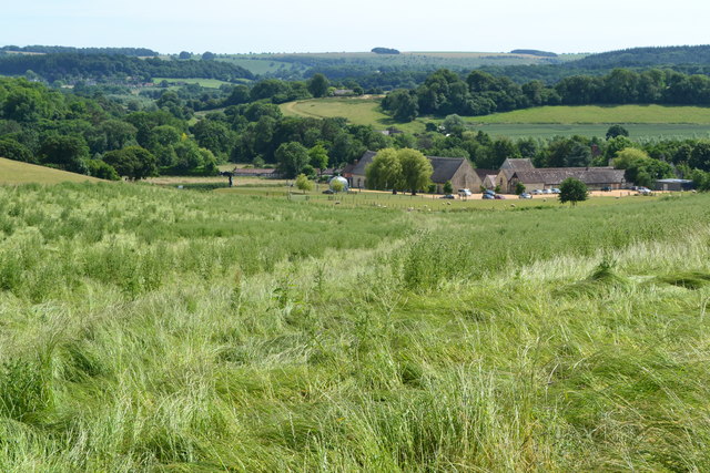
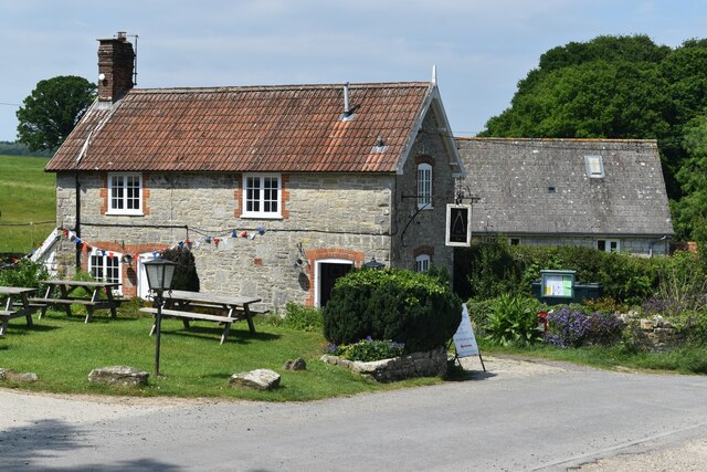
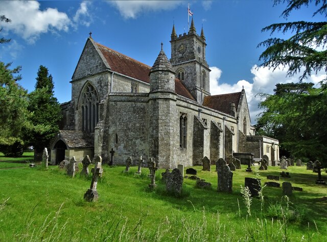
Place Fm in Wiltshire, England, is a renowned heritage site that holds significant historical and architectural value. Situated in the heart of the county, the property encompasses a grand manor house, expansive gardens, and various outbuildings, providing visitors with a captivating glimpse into the past.

The manor house itself is a prime example of Jacobean architecture, dating back to the 17th century. Its striking design features ornate chimneys, mullioned windows, and intricate stone carvings, showcasing the craftsmanship of the era. Inside, visitors can explore the opulent interiors, adorned with lavish tapestries, antique furniture, and intricately painted ceilings.

The gardens surrounding Place Fm are equally impressive, showcasing a mix of formal and informal landscaping styles. Spanning several acres, the grounds feature manicured lawns, vibrant flower beds, and serene water features. Visitors can meander through winding paths, enjoying the peaceful ambiance and admiring the carefully curated plant collections.

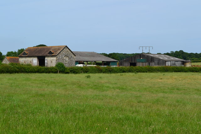
The outbuildings at Place Fm offer a glimpse into the property's agricultural past. The estate includes a well-preserved barn, granary, and stables, which provide insight into the daily workings of a traditional English country estate.

Place Fm is not only a beautiful heritage site but also a hub for cultural and educational activities. It hosts regular events, including historical reenactments, art exhibitions, and guided tours, allowing visitors to fully immerse themselves in the rich history and heritage of the property.

Overall, Place Fm in Wiltshire is a captivating destination that offers visitors a unique opportunity to step back in time and experience the grandeur and charm of a bygone era.

If you have any feedback on the listing, please let us know in the comments section below.

Place Fm Images

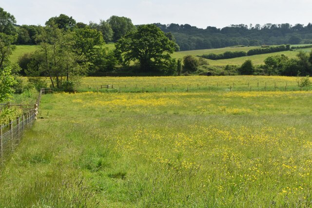
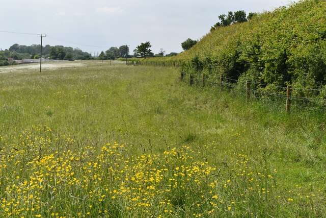
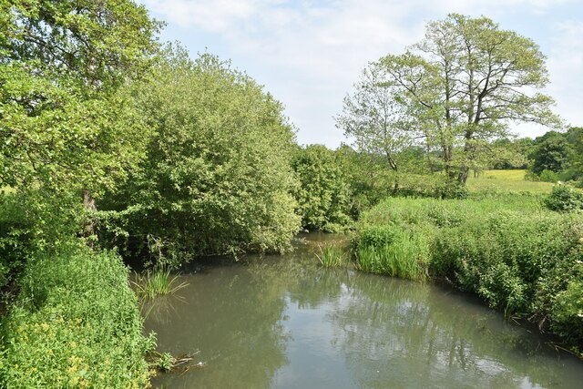
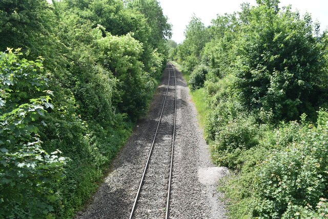
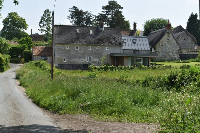
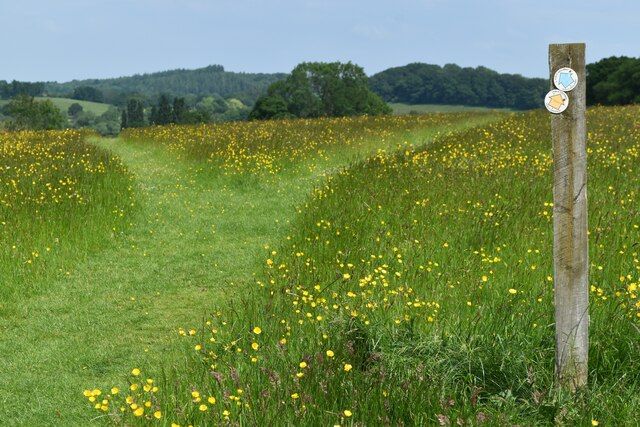
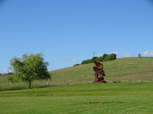
Images are sourced within 2km of 51.063/-2.063 or Grid Reference ST9529. Thanks to Geograph Open Source API. All images are credited.

Valley view towards Place Farm The buildings at Place Farm now house an arts centre, Messums Wiltshire.
Valley view towards Place Farm
The buildings at Place Farm now house an arts centre, Messums Wiltshire.
Buildings at Vicarage Barn
No doubt about the footpath! Clearly marked path through crops towards distant tree.
No doubt about the footpath!
Clearly marked path through crops towards distant tree.
View towards Tisbury
Buttercup meadow in Nadder Valley
Footpath beside road, Lower Chicksgrove The footpath enters the field just west of Lower Chicksgrove and provides an off-road route to the west.
Footpath beside road, Lower Chicksgrove
The footpath enters the field just west of Lower Chicksgrove and provides an off-road route to the west.
The Three Compasses Inn
River Nadder just above Coleman's Farm
Railway south of Coleman's Farm The single-track line west towards Tisbury and Exeter.
Railway south of Coleman's Farm
The single-track line west towards Tisbury and Exeter.
Houses at Chicksgrove
Y-shaped path junction above Apshill House
At Messums Wiltshire At Place Farm, close to the magnificent tithe barn, there was an outdoor exhibition of the sculptural work of Albert Paley (b.1944)
At Messums Wiltshire
At Place Farm, close to the magnificent tithe barn, there was an outdoor exhibition of the sculptural work of Albert Paley (b.1944)
St John the Baptist Church, Tisbury This magnificent building evolved over ten centuries and is Grade I listed.
St John the Baptist Church, Tisbury
This magnificent building evolved over ten centuries and is Grade I listed.
The heart of Tisbury In the village square looking to the post office on the left beyond the elaboate signpost with lights above. The bunting and woollen bollard covers relate to Platinum Jubilee celebrations earlier in the month. Did the powers that be really have to paint double yellow lines around the historical structure?
The heart of Tisbury
In the village square looking to the post office on the left beyond the elaboate signpost with lights above. The bunting and woollen bollard covers relate to Platinum Jubilee celebrations earlier in the month. Did the powers that be really have to paint double yellow lines around the historical structure?
Path east of Tisbury It's nice when landowners make the effort to show the way across their land.
Path east of Tisbury
It's nice when landowners make the effort to show the way across their land.
Farmland east of Tisbury
Looking west to Hardene Lodge
Young copper beech tree, Hardene Wood
Show me another place!

Place Fm is located at Grid Ref: ST9529 (Lat: 51.063, Lng: -2.063)

Unitary Authority: Wiltshire

Police Authority: Wiltshire

What 3 Words

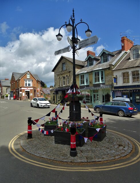
///stolen.blemishes.static. Near Tisbury, Wiltshire

Nearby Locations

Tisbury Place Fm

Related Wikis

Chicksgrove Quarry

Chicksgrove Quarry (grid reference ST962296) is a 14 acres (5.7 ha) geological Site of Special Scientific Interest south of Upper Chicksgrove in Wiltshire...

Place Farm, Tisbury

Place Farm is a complex of medieval buildings in the village of Tisbury, Wiltshire, England. They originally formed a grange of Shaftesbury Abbey. The...

Vale of Wardour

The Vale of Wardour encompasses the valley of the River Nadder in the county of Wiltshire, England. == Geography == === Topography === The Vale of Wardour...

Tisbury railway station

Tisbury railway station serves the village of Tisbury in Wiltshire, England. It is currently managed by South Western Railway and is on the West of England...

Nearby Amenities

Located within 500m of 51.063,-2.063
Barrier: stile
Lat/Long: 51.0641235/-2.0665385
Barrier: stile
Lat/Long: 51.0637112/-2.0658181
Railway: switch
Lat/Long: 51.0649935/-2.0690347
Man Made: mast
Lat/Long: 51.0664905/-2.063339
The data included in this document is from www.openstreetmap.org. The data is made available under ODbL.

Have you been to Place Fm?

Leave your review of Place Fm below (or comments, questions and feedback).