Pittulie Castle

Heritage Site in Aberdeenshire

Scotland

Pittulie Castle

Long Shadows at Peathill Kirkyard A beautiful sunny day in mid-November 2011 gave these long shadows - even in the middle of the day.  The Kirk was a favourite place of a dear friend who left us suddenly in May 2011.
Long Shadows at Peathill Kirkyard Credit: Geoff Bruce

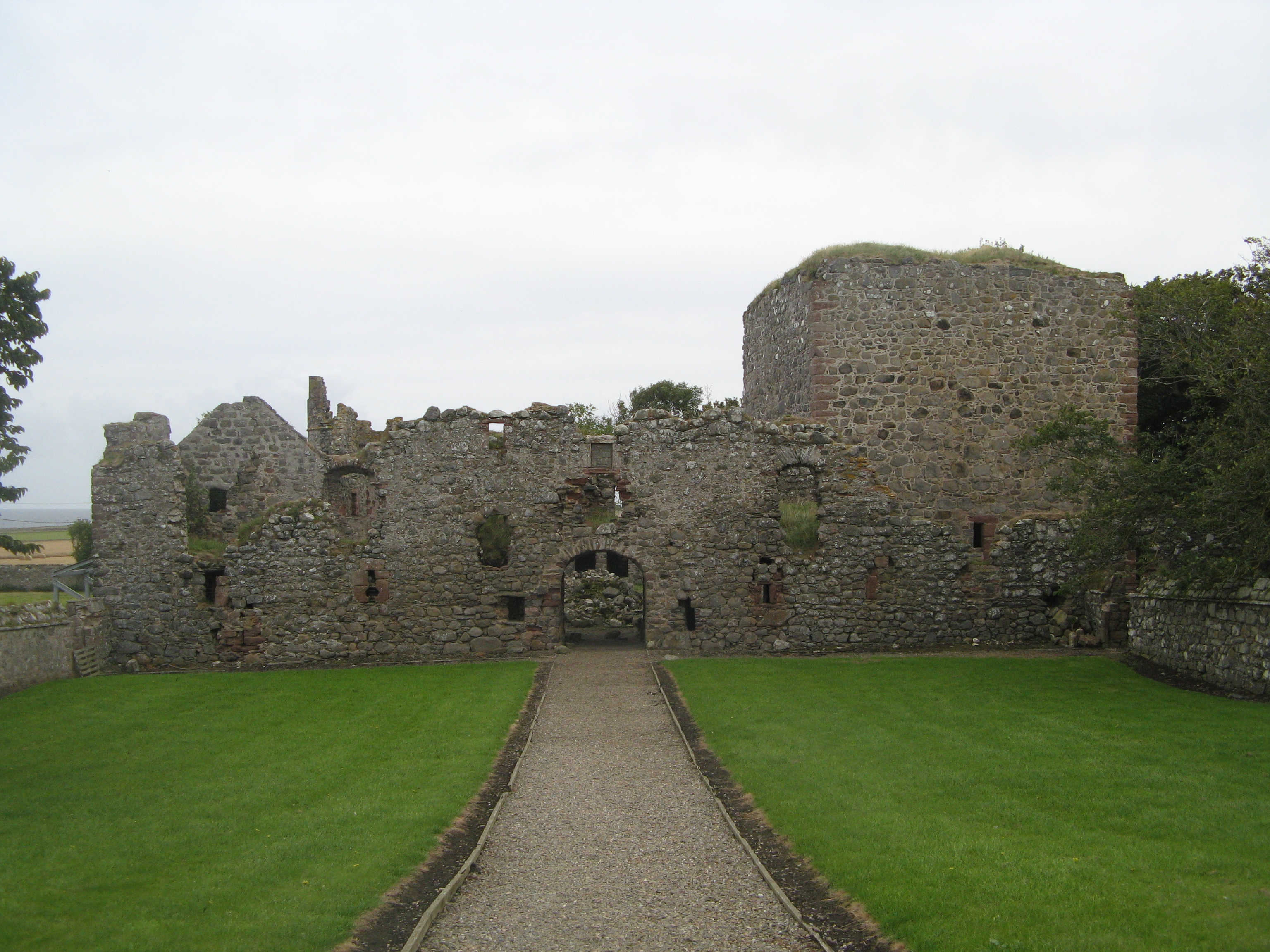
Pittulie Castle, located in Aberdeenshire, Scotland, is a historic heritage site that dates back to the 15th century. This medieval fortress is nestled on a stunning cliff-top location overlooking the North Sea, offering breathtaking views of the surrounding countryside.

The castle was initially built as a fortified tower house and later expanded into a grand mansion during the 16th and 17th centuries. It was originally owned by the powerful Keith family, who played a significant role in Scottish history. Over the centuries, the castle changed hands several times due to marriage alliances and political shifts.

Pittulie Castle features a distinctive L-shaped design and boasts a unique blend of architectural styles, showcasing the evolution of Scottish castle design over the years. The original tower, with its thick stone walls and narrow windows, reflects the medieval era, while the later additions demonstrate Renaissance and Jacobean influences.

Despite its grandeur, the castle fell into disrepair in the 19th century and was eventually abandoned. Today, Pittulie Castle stands as a picturesque ruin, with only a few sections of the original structure still intact. The castle's crumbling walls, ivy-covered ruins, and mossy courtyards create a hauntingly beautiful atmosphere that attracts visitors from around the world.

Despite its state of decay, Pittulie Castle remains an important historical and cultural landmark in Aberdeenshire. It serves as a reminder of Scotland's rich past and the architectural prowess of the time. Visitors can explore the castle grounds, admire the remaining ruins, and immerse themselves in the history and beauty of this enchanting heritage site.

If you have any feedback on the listing, please let us know in the comments section below.

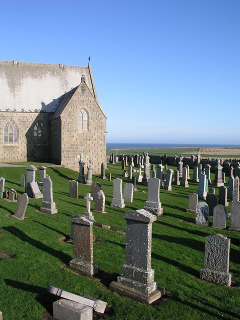
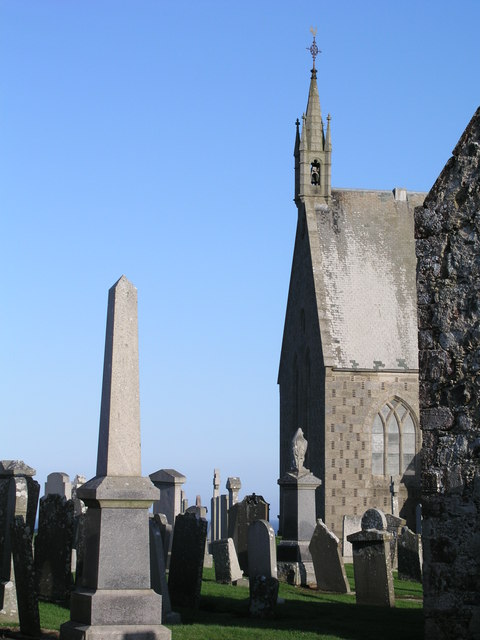
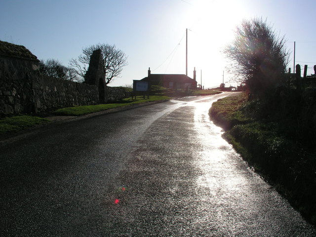
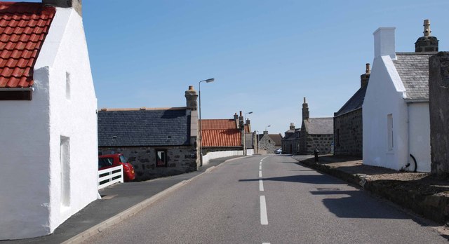
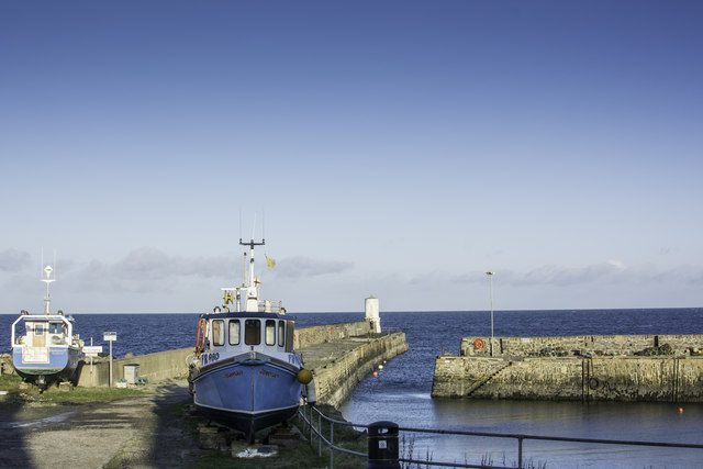
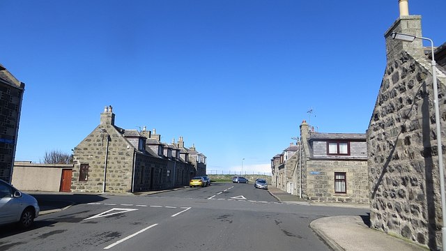
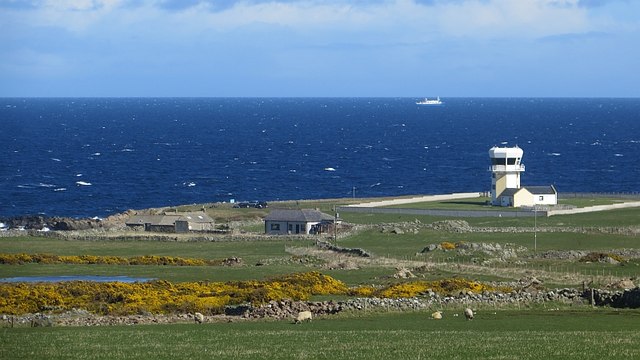
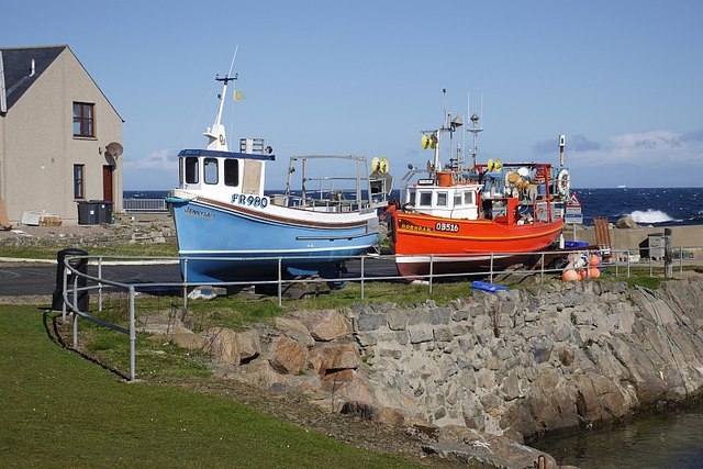
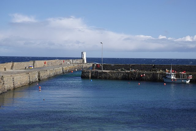
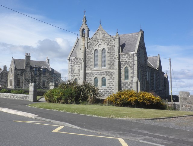
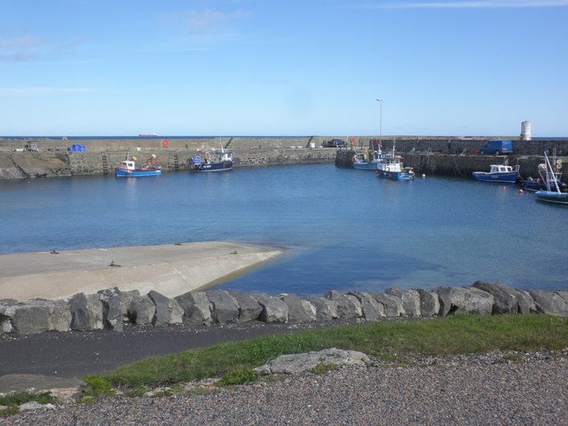
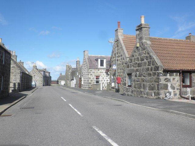
Pittulie Castle Images

Images are sourced within 2km of 57.697/-2.092 or Grid Reference NJ9467. Thanks to Geograph Open Source API. All images are credited.

Long Shadows at Peathill Kirkyard A beautiful sunny day in mid-November 2011 gave these long shadows - even in the middle of the day.  The Kirk was a favourite place of a dear friend who left us suddenly in May 2011.
Long Shadows at Peathill Kirkyard
A beautiful sunny day in mid-November 2011 gave these long shadows - even in the middle of the day. The Kirk was a favourite place of a dear friend who left us suddenly in May 2011.
Peathill Kirk The perfect blue sky in mid-November complements the solid grey of the kirk and the gravestones.
Peathill Kirk
The perfect blue sky in mid-November complements the solid grey of the kirk and the gravestones.
Walking by Pitsligo Castle It's November 2011, nearly mid-day and the sun is barely over the horizon.
Walking by Pitsligo Castle
It's November 2011, nearly mid-day and the sun is barely over the horizon.
Traditional Fishermen's Cottages Note that the gable-end faces north and the sea.  This affords some degree of shelter from northerly gales
Traditional Fishermen's Cottages
Note that the gable-end faces north and the sea. This affords some degree of shelter from northerly gales
Boats on Pier at Rosehearty
Well Street, Rosehearty A grid pattern of grey houses.
Well Street, Rosehearty
A grid pattern of grey houses.
Lookout tower, Rosehearty Now a private residence, this was a range lookout for a bombing range offshore.
Lookout tower, Rosehearty
Now a private residence, this was a range lookout for a bombing range offshore.
Jennylass and Dobhran FR980 Jennylass and OB516 Dobhran at Rosehearty Harbour.
Jennylass and Dobhran
FR980 Jennylass and OB516 Dobhran at Rosehearty Harbour.
Rosehearty Harbour
Rosehearty Harbour
Pitsilgo Parish Church, Rosehearty
The harbour, Rosehearty
High Street, Pittulie
Old Pitsligo Parish Church near Rosehearty
Port Rae Harbour, Rosehearty Port Rae Harbour, now disused, lies to the east of the main harbour at Rosehearty and has an area of 10 acres. During the herring season years ago it was scarcely large enough for all the drifters which landed their fish here for the twelve curers of Rosehearty.
Port Rae Harbour, Rosehearty
Port Rae Harbour, now disused, lies to the east of the main harbour at Rosehearty and has an area of 10 acres. During the herring season years ago it was scarcely large enough for all the drifters which landed their fish here for the twelve curers of Rosehearty.
Sandhaven Harbour A few creel fishing boats still sail daily from Sandhaven harbour although the walls in some places have been breached.
Sandhaven Harbour
A few creel fishing boats still sail daily from Sandhaven harbour although the walls in some places have been breached.
Rosehearty Harbour One of the oldest seaports in Scotland, Rosehearty at one time had a fishing fleet which supported 600 people. Extending to 3400 square metres, this is a one-basin harbour which offers 120 metres of quayside inside the harbour with a further 120 metres on the outer breakwater, but this is exposed to winds from between East and North-east. Around 20 boats, most involved in part-time fishing, use the harbour regularly.
Rosehearty Harbour
One of the oldest seaports in Scotland, Rosehearty at one time had a fishing fleet which supported 600 people. Extending to 3400 square metres, this is a one-basin harbour which offers 120 metres of quayside inside the harbour with a further 120 metres on the outer breakwater, but this is exposed to winds from between East and North-east. Around 20 boats, most involved in part-time fishing, use the harbour regularly.
Welcome to Pittulie
Welcome to Pittulie
Entering Rosehearty.
Show me another place!

Pittulie Castle is located at Grid Ref: NJ9467 (Lat: 57.697, Lng: -2.092)

Unitary Authority: Aberdeenshire

Police Authority: North East

What 3 Words

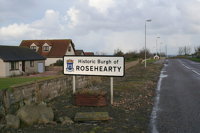
///ramble.digs.introduce. Near Rosehearty, Aberdeenshire

Nearby Locations

Pittulie Castle Fluke Peel

Related Wikis

Pittulie Castle

Pittulie Castle is an oblong tower house probably dating from 1596, half a mile from Pitsligo Castle, Rosehearty, Aberdeenshire, Scotland. It is a scheduled...

Pitsligo

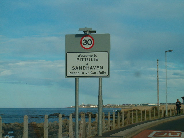
Pitsligo was a coastal parish in the historic county of Aberdeenshire, Scotland, containing the fishing villages of Rosehearty, Pittulie and Sandhaven...

Pitsligo Castle

Pitsligo Castle is a ruined castle half a mile east of Rosehearty, Aberdeenshire, Scotland. Modified in the 1570s by the Forbes of Druminnor, it was described...

Rosehearty

Rosehearty (Scottish Gaelic: Ros Abhartaich) is a settlement on the Moray Firth coast, four miles west of the town Fraserburgh, in the historical county...

Related Videos

What's on the POD?#shorts #lovelyviews #holiday

Hi guys. I just want to show you the POD where we stay in for 2 nights. It's a beautiful place to visit and the views are stunning.

Fraserburgh Peathill Rosehearty

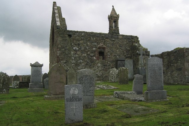
Drone footage of Peathill Cemetery Rosehearty. G & G Cruickshank Memorials Newmill Road Keith.

‘StickyTriflePodcast’ #55 (Pitullie)

55 takes us to the shores of Pitullie where 'Grandma Griggly' (Isobel Gregory) talks about how she developed a love of arts and ...

Nearby Amenities

Located within 500m of 57.697,-2.092
Source: Old Landsat image trace
Lat/Long: 57.6985791/-2.0957562
Source: Old Landsat image trace
Lat/Long: 57.6990706/-2.0925431
Source: Old Landsat image trace
Lat/Long: 57.6996562/-2.0892377
Source: Old Landsat image trace
Lat/Long: 57.6983726/-2.0979149
Source: Old Landsat image trace
Lat/Long: 57.70003/-2.0867321
Source: Old Landsat image trace
Lat/Long: 57.698703/-2.0940556
Source: Old Landsat image trace
Lat/Long: 57.6985309/-2.0965417
Source: Old Landsat image trace
Lat/Long: 57.6994412/-2.0905319
Source: Old Landsat image trace
Lat/Long: 57.6981218/-2.0991886
Power: pole
Lat/Long: 57.6966157/-2.0933343
Power: pole
Lat/Long: 57.6963699/-2.0949614
Power: pole
Lat/Long: 57.6969051/-2.0917958
Power: pole
Lat/Long: 57.6961116/-2.0965771
Power: pole
Lat/Long: 57.6974809/-2.0887488
Power: pole
Lat/Long: 57.6978388/-2.0872939
Power: pole
Lat/Long: 57.6956524/-2.099744
Power: pole
Lat/Long: 57.6980565/-2.0856766
Power: pole
Lat/Long: 57.6980398/-2.0840316
Power: pole
Lat/Long: 57.6941494/-2.0900879
Power: pole
Lat/Long: 57.6945744/-2.0918427
Power: pole
Lat/Long: 57.6952567/-2.0923309
Power: pole
Lat/Long: 57.6959824/-2.0929109
Power: pole
Lat/Long: 57.6966844/-2.0934199
Power: pole
Lat/Long: 57.6944158/-2.0917262
Power: pole
Lat/Long: 57.6942752/-2.0908475
Power: pole
Lat/Long: 57.6940008/-2.089162
Power: pole
Lat/Long: 57.6938648/-2.0883149
The data included in this document is from www.openstreetmap.org. The data is made available under ODbL.

Have you been to Pittulie Castle?

Leave your review of Pittulie Castle below (or comments, questions and feedback).