Ballington Wood
Wood, Forest in Staffordshire Staffordshire Moorlands
England
Ballington Wood
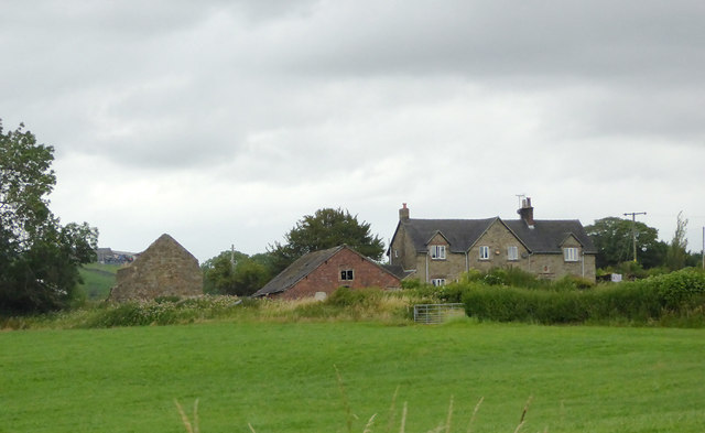
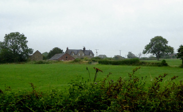
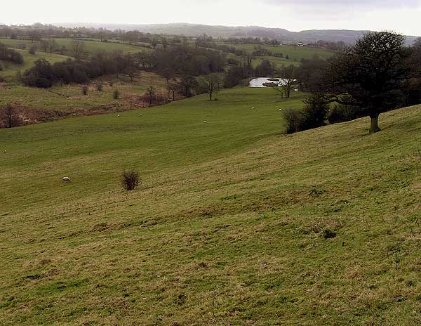
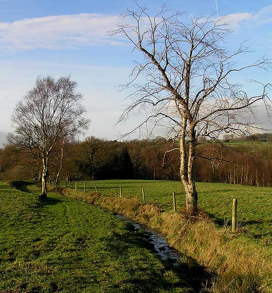
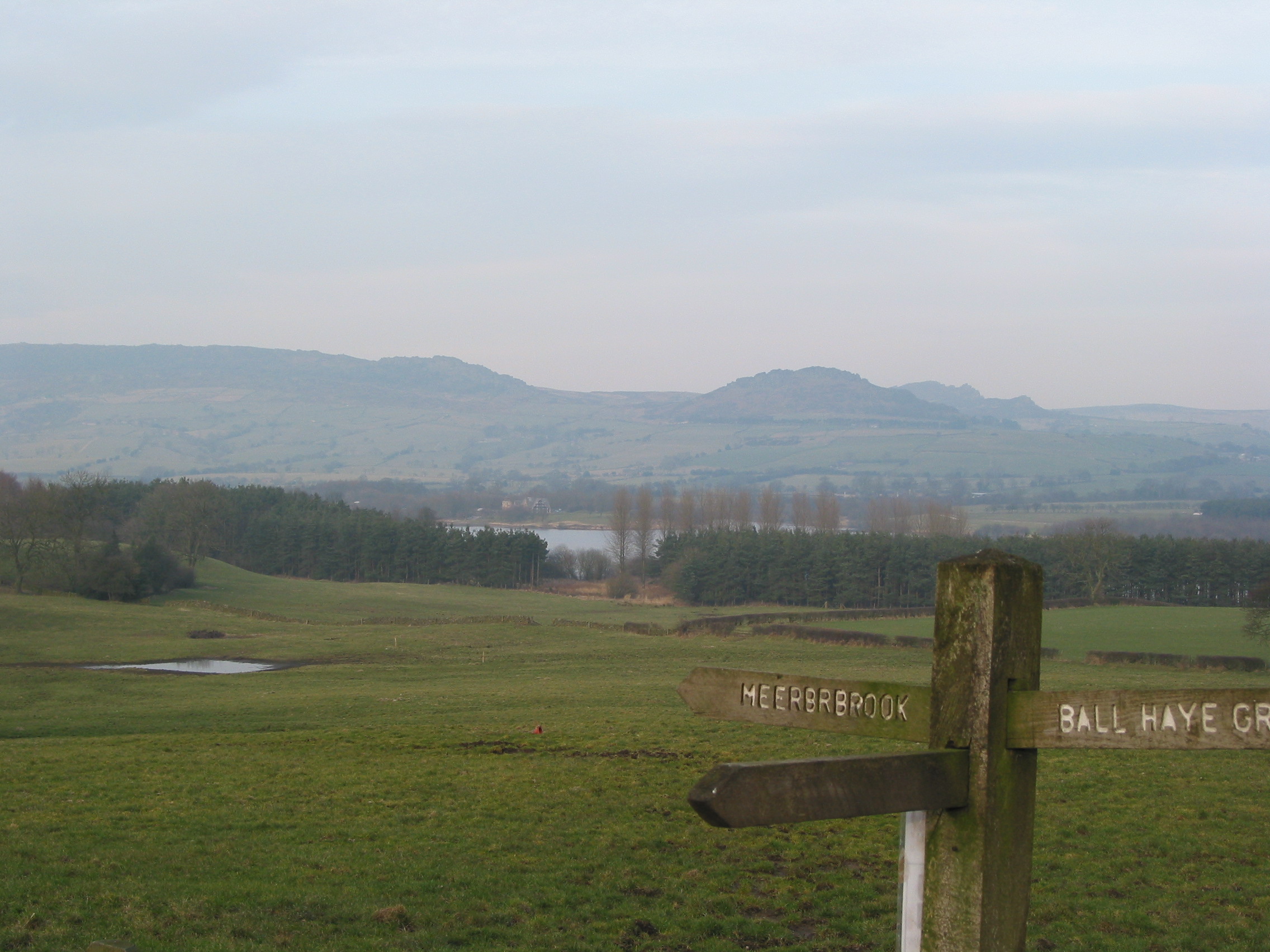
Ballington Wood is a picturesque forest located in Staffordshire, England. Covering an area of approximately 100 acres, it is a haven for nature enthusiasts and provides a tranquil escape from the bustling city life. The wood is primarily made up of deciduous trees, including oak, beech, and ash, which create a dense canopy overhead, casting dappled sunlight onto the forest floor.
The wood is home to a diverse range of wildlife, including deer, foxes, badgers, and a variety of bird species. It is a popular spot for birdwatching, with visitors often spotting woodpeckers, owls, and various songbirds. The forest floor is teeming with wildflowers, ferns, and mosses, creating a vibrant and colorful carpet during the spring and summer months.
Several walking trails wind through the wood, offering visitors the opportunity to explore its beauty at their own pace. These well-maintained paths meander through the trees, leading to hidden clearings and viewpoints that offer stunning vistas of the surrounding countryside. The wood also features a small picnic area, providing a perfect spot for visitors to relax and enjoy a packed lunch amidst the natural beauty.
Ballington Wood is managed by the local council, which ensures its preservation and maintenance. It serves as an important natural habitat and contributes to the biodiversity of the Staffordshire region. The wood attracts both locals and tourists throughout the year, who come to immerse themselves in the peaceful ambiance and reconnect with nature.
If you have any feedback on the listing, please let us know in the comments section below.
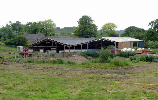
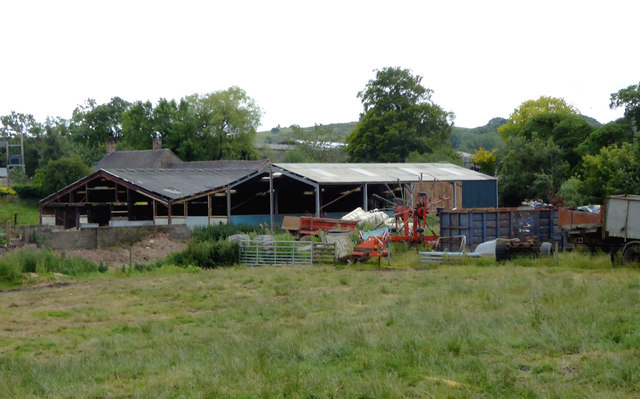
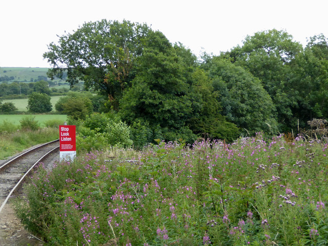
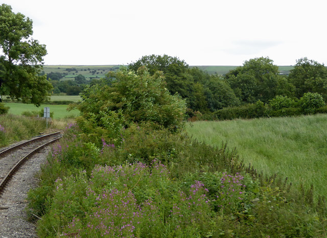
Ballington Wood Images
Images are sourced within 2km of 53.095112/-2.0168637 or Grid Reference SJ9855. Thanks to Geograph Open Source API. All images are credited.


Ballington Wood is located at Grid Ref: SJ9855 (Lat: 53.095112, Lng: -2.0168637)
Administrative County: Staffordshire
District: Staffordshire Moorlands
Police Authority: Staffordshire
What 3 Words
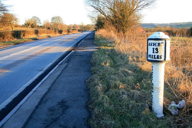
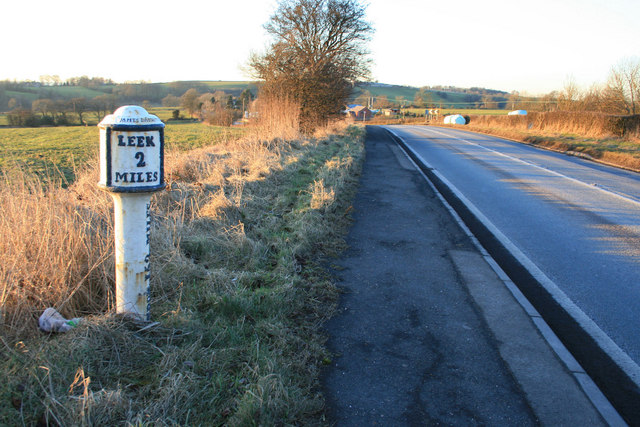
///wipe.blasted.unionists. Near Leek, Staffordshire
Nearby Locations
Related Wikis

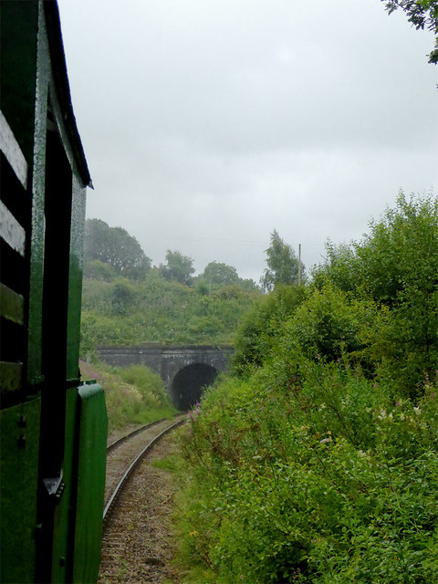
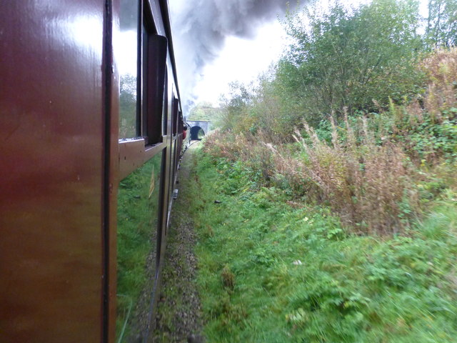
Leek (Churnet Valley) railway station
Leek (Churnet Valley) railway station is the proposed and future terminus of the Churnet Valley Railway and is currently awaiting construction. It will...

All Saints' Church, Leek
All Saints' Church is an Anglican church in Leek, Staffordshire, England. It is a Grade I listed building. It was designed by Norman Shaw, and built in...

Nicholson War Memorial
The Nicholson War Memorial in Leek, Staffordshire, England is a 1925 war memorial. It was commissioned by local manufacturer Sir Arthur Nicholson and his...

Leek railway station
Leek railway station served the town of Leek, Staffordshire. It was opened by the North Staffordshire Railway in 1849. Passenger services to Uttoxeter...
Leek High School
Leek High School is a mixed upper school (termed 'high school') located in Leek, Staffordshire, England. As of 2021, the number of students at the school...
The Meadows School, Leek
The Meadows School is a mixed special school co-located with Leek High School in Leek, Staffordshire, England.In 2014 Ofsted said “Students make good...
Staffordshire Moorlands
Staffordshire Moorlands is a local government district in Staffordshire, England. Its council, Staffordshire Moorlands District Council, is based in Leek...
Buxton & Leek College
Buxton & Leek College is a college of Further and Higher Education operating at their campuses and facilities in Buxton, Derbyshire, Leek, Staffordshire...
Related Videos
Leek Village Snow Walk, English Countryside 4K
https://www.buymeacoffee.com/Daveswalks All support is hugely appreciated and it helps me keep the channel going! No talking ...

A walk through LEEK England
A walk through LEEK - Staffordshire - England Leek is a market town in the county of Staffordshire, England, on the River Churnet.

Staffordshire Wildlife Trust. Leek. UK. #hiking #hikinggirl #drones #camping #nature #UK
Staffordshire Wildlife Trust. Leek. UK.

Nearby Amenities
Located within 500m of 53.095112,-2.0168637Have you been to Ballington Wood?
Leave your review of Ballington Wood below (or comments, questions and feedback).