Reaston Wood
Wood, Forest in Northumberland
England
Reaston Wood
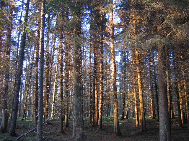
Reaston Wood is a picturesque and enchanting forest located in the county of Northumberland, England. Covering an area of approximately 500 acres, this woodland is a haven for nature enthusiasts and offers a tranquil escape from the bustling city life.
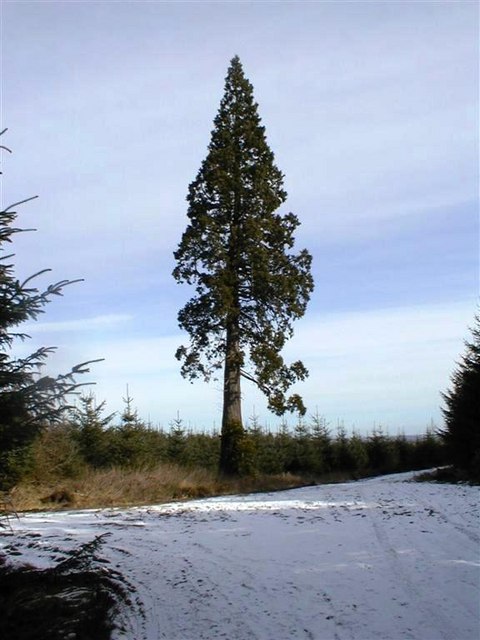
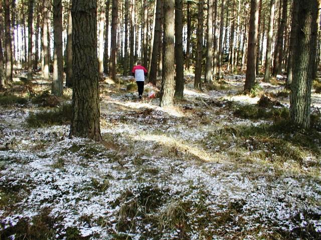
The wood is predominantly composed of a diverse range of tree species, including oak, ash, birch, and beech, which create a dense and vibrant canopy overhead. These trees provide a habitat for an abundance of wildlife, such as red squirrels, roe deer, and a variety of bird species, making it a popular spot for birdwatchers and wildlife photographers.
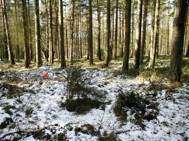
Walking through Reaston Wood, visitors are greeted by a network of well-maintained trails that meander through the forest, allowing for leisurely strolls and peaceful hikes. The paths are lined with wildflowers and ferns, adding a splash of color to the rich green surroundings.
One of the highlights of Reaston Wood is the ancient ruins of a stone circle, believed to date back to the Neolithic period. This archaeological site adds a touch of mystique and historical significance to the woodland, attracting history enthusiasts and curious explorers alike.
The wood is open to the public year-round and is particularly popular during the spring and summer months when the flora is in full bloom. There are designated picnic areas and benches scattered throughout the forest, providing the perfect opportunity for visitors to relax and enjoy the serenity of the natural surroundings.
Overall, Reaston Wood is a hidden gem in Northumberland, offering a blend of natural beauty, wildlife, and historical intrigue.
If you have any feedback on the listing, please let us know in the comments section below.
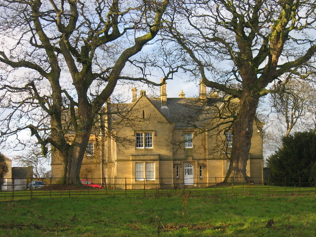
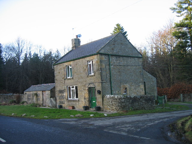
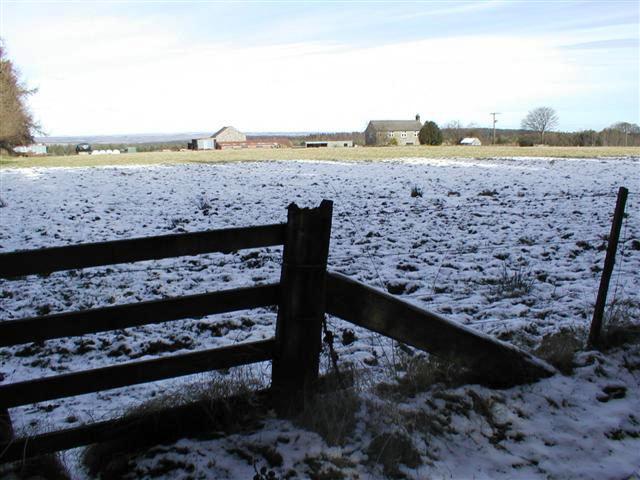
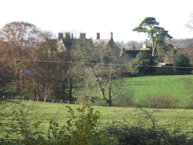
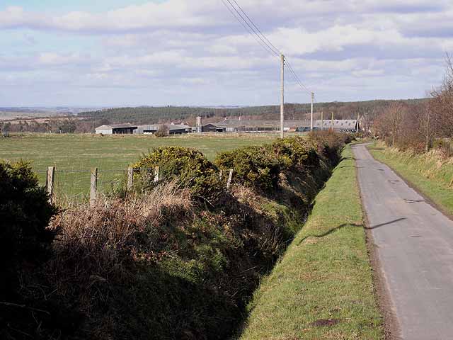
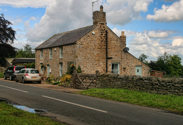
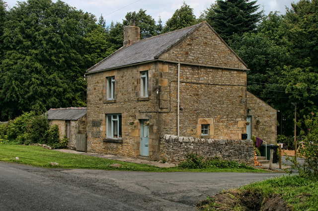
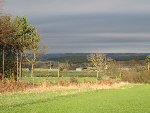
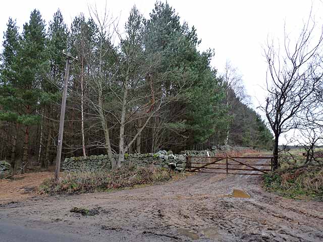
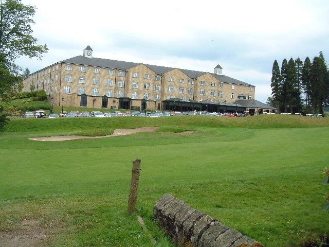
Reaston Wood Images
Images are sourced within 2km of 54.908774/-2.0176092 or Grid Reference NY9857. Thanks to Geograph Open Source API. All images are credited.


Reaston Wood is located at Grid Ref: NY9857 (Lat: 54.908774, Lng: -2.0176092)
Unitary Authority: Northumberland
Police Authority: Northumbria
What 3 Words
///slicing.impulsive.certainty. Near Slaley, Northumberland
Nearby Locations
Related Wikis

Slaley, Northumberland
Slaley is a village in Northumberland, England. It is situated to the southeast of Hexham. It is surrounded by the following villages: Ruffside, Whitley...

Slaley Hall
Slaley Hall is a country house golf resort in Northumberland in North East England, built by local developers Seamus O'Carroll and John Rourke which hosted...

Colpitts Grange
Colpitts Grange is a hamlet in Northumberland, England. It is about 7 miles (11 km) to the south-east of Hexham. == Governance == Colpitts Grange is in...

Healey, Northumberland
Healey is a rural estate and civil parish in Northumberland, England, situated between Riding Mill to the north and Slaley to the south. The neo-Norman...
Have you been to Reaston Wood?
Leave your review of Reaston Wood below (or comments, questions and feedback).