Hawthorne Wood
Wood, Forest in Staffordshire Staffordshire Moorlands
England
Hawthorne Wood
Hawthorne Wood is a picturesque woodland located in the county of Staffordshire, England. Situated near the charming village of Wood, this forested area covers approximately 100 acres of land, offering a tranquil and serene environment for visitors to enjoy.
The woodland is predominantly made up of hawthorn trees, hence its name, although it also boasts a diverse range of other species such as oak, birch, and beech. This variety of trees creates a vibrant display of colors throughout the seasons, from the lush green foliage in spring and summer to the striking golden hues of autumn.
Visitors to Hawthorne Wood can explore its numerous walking trails, which wind their way through the forest, providing an opportunity to immerse oneself in nature and admire the beauty of the surroundings. The paths are well-maintained, making it accessible for individuals of all ages and abilities.
The woodland is home to a rich array of wildlife, making it a popular spot for nature enthusiasts and birdwatchers. Red foxes, badgers, and various small mammals can be spotted roaming the forest floor, while birds such as robins, woodpeckers, and owls can be heard singing from the treetops.
Hawthorne Wood offers a peaceful retreat from the hustle and bustle of everyday life. It is a place where visitors can reconnect with nature, breathe in the fresh woodland air, and enjoy the tranquility that only a natural forest setting can provide.
If you have any feedback on the listing, please let us know in the comments section below.
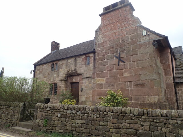
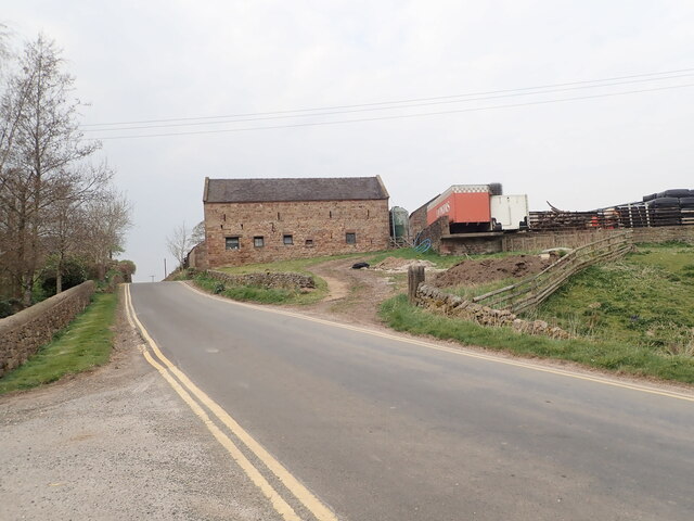
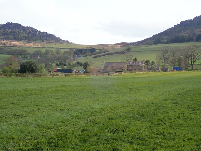
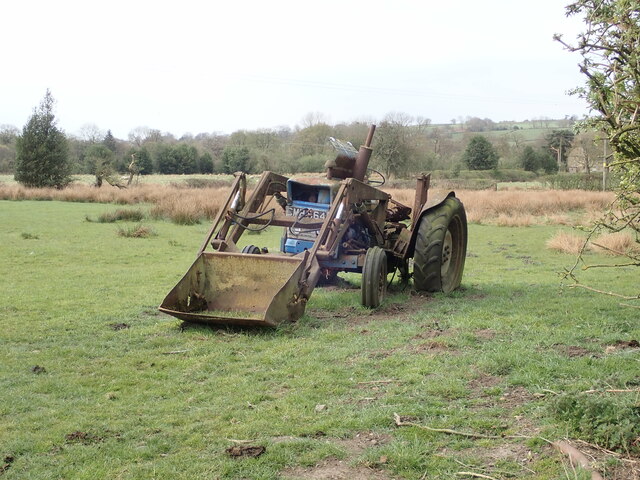
Hawthorne Wood Images
Images are sourced within 2km of 53.133612/-2.0167744 or Grid Reference SJ9859. Thanks to Geograph Open Source API. All images are credited.


Hawthorne Wood is located at Grid Ref: SJ9859 (Lat: 53.133612, Lng: -2.0167744)
Administrative County: Staffordshire
District: Staffordshire Moorlands
Police Authority: Staffordshire
What 3 Words
///clattered.clenching.promises. Near Leek, Staffordshire
Nearby Locations
Related Wikis
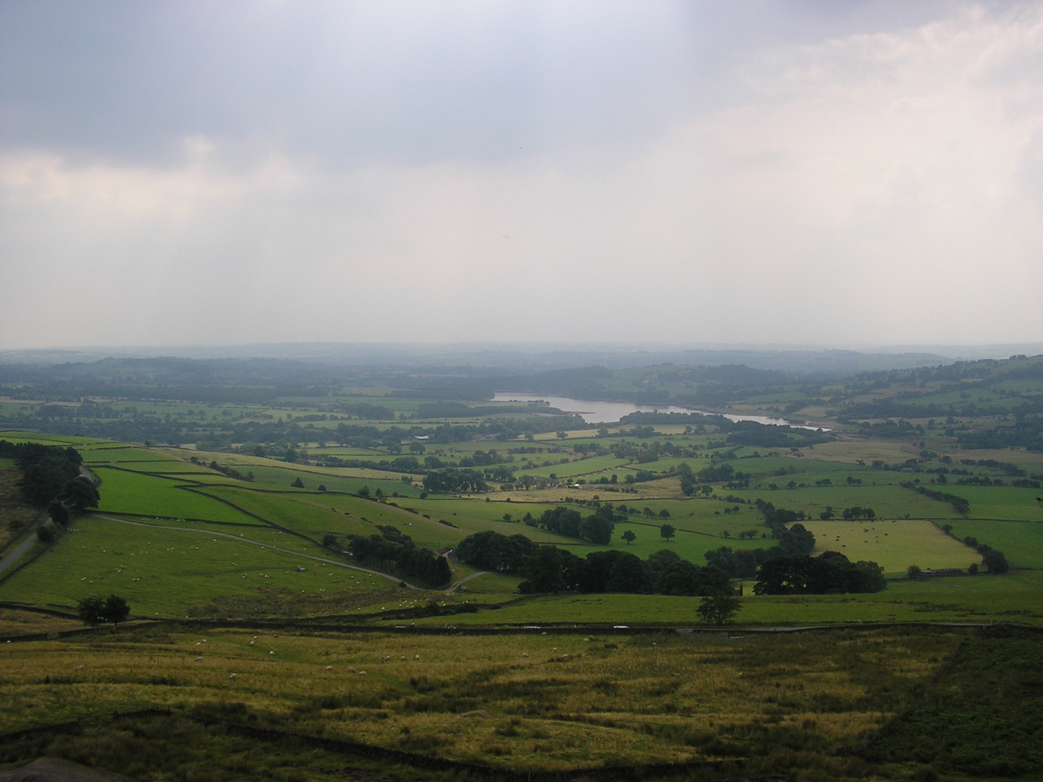
Tittesworth reservoir
Tittesworth Reservoir is a water storage reservoir near Leek, Staffordshire, England, fed by the River Churnet. The reservoir and associated water treatment...

Meerbrook
Meerbrook (grid reference SJ989609) is a small village in North Staffordshire, on the River Churnet at the edge of the Peak District National Park. It...

Tittesworth
Tittesworth is a civil parish in the Staffordshire Moorlands, in Staffordshire, England. It extends from the edge of the town of Leek in the south-west...
Leekfrith
Leekfrith is a civil parish in the Staffordshire Moorlands, in Staffordshire, England, north of the town of Leek. The population of the civil parish at...

Dieulacres Abbey
Dieulacres Abbey was a Cistercian monastery established by Ranulf, Earl of Chester at Poulton in Cheshire. It moved to the present site at Abbey Green...

Abbey Green, Staffordshire Moorlands
Abbey Green is a village near Leek in the English county of Staffordshire. The village is close to the site of Dieulacres Abbey. The abbey was founded...
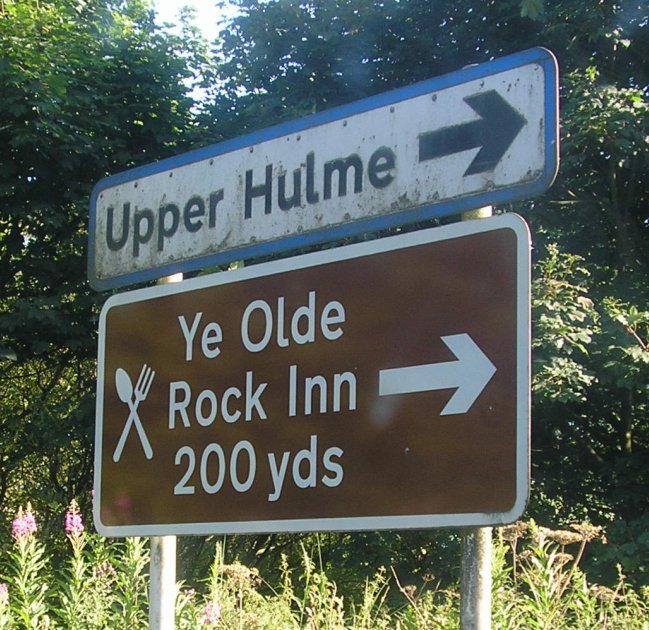
Upper Hulme
Upper Hulme is a hamlet in North Staffordshire, between the historic market town of Leek and the spa town of Buxton. It is clustered around a redundant...

Ball Haye Green
Ball Haye Green is an area of Leek in Staffordshire, England. The area was historically an estate in the township of Tittesworth. It was developed as...
Nearby Amenities
Located within 500m of 53.133612,-2.0167744Have you been to Hawthorne Wood?
Leave your review of Hawthorne Wood below (or comments, questions and feedback).