Field's Copse

Wood, Forest in Gloucestershire Cotswold

England

Field's Copse

Duntisbourne Abbots: St. Peter's Church: The sundial on the south porch
Duntisbourne Abbots: St. Peter's Church: The sundial on the south porch Credit: Michael Garlick

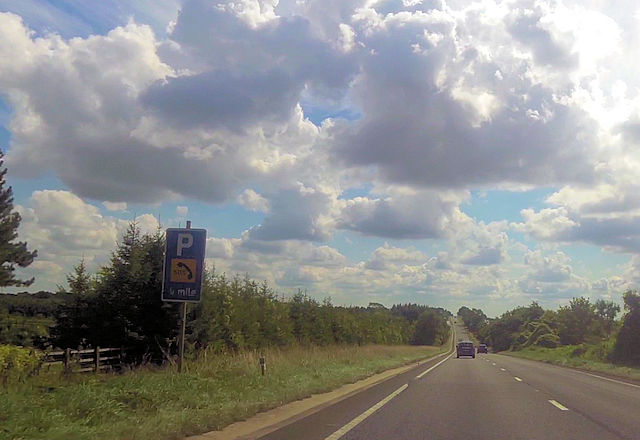
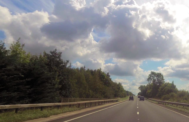
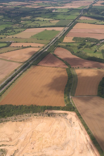
Field's Copse is a picturesque woodland located in the county of Gloucestershire, England. Covering an area of approximately 50 acres, it is situated near the village of Chalford and is a popular destination for nature lovers and outdoor enthusiasts.

The copse is predominantly composed of deciduous trees, such as oak, beech, and ash, which provide a stunning display of colors during the autumn months. The trees form a dense canopy, creating a cool and tranquil atmosphere within the woodland.

Several walking trails wind their way through Field's Copse, offering visitors the opportunity to explore the diverse flora and fauna that call this forest home. The woodland floor is adorned with an array of wildflowers, including bluebells, primroses, and wood anemones, creating a vibrant and enchanting scene.

Various species of birds, such as song thrushes, woodpeckers, and tawny owls, can be spotted among the tree branches, while small mammals like squirrels and rabbits scurry through the undergrowth. The copse is also home to a diverse range of insects, including butterflies and dragonflies, adding to the biodiversity of the area.

Field's Copse is not only a haven for wildlife but also a place of historical significance. Archaeological remains, including ancient burial mounds and Roman artifacts, have been discovered within the woodland, providing a glimpse into the past.

Overall, Field's Copse in Gloucestershire offers visitors a serene and captivating woodland experience, where nature, history, and tranquility converge.

If you have any feedback on the listing, please let us know in the comments section below.

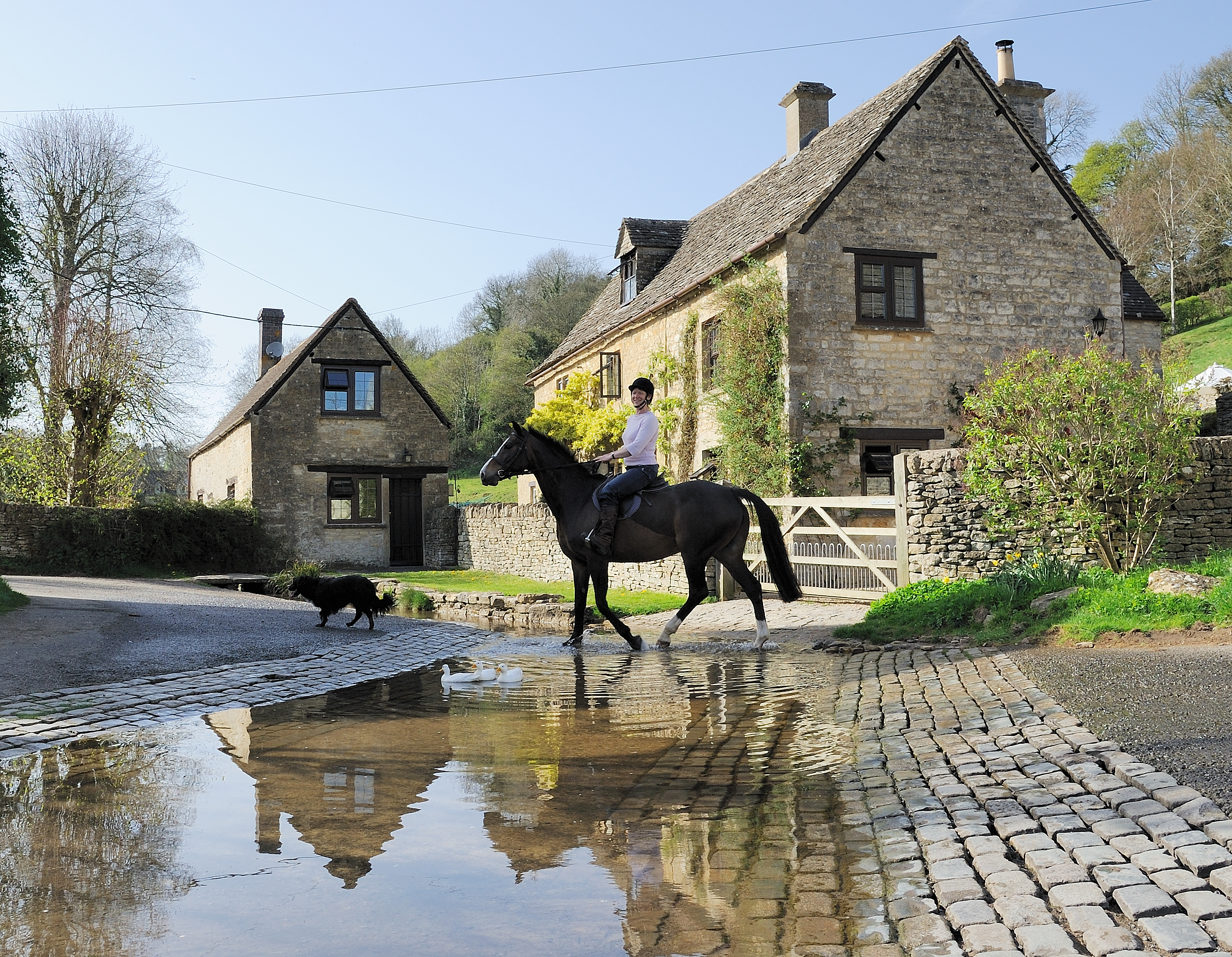
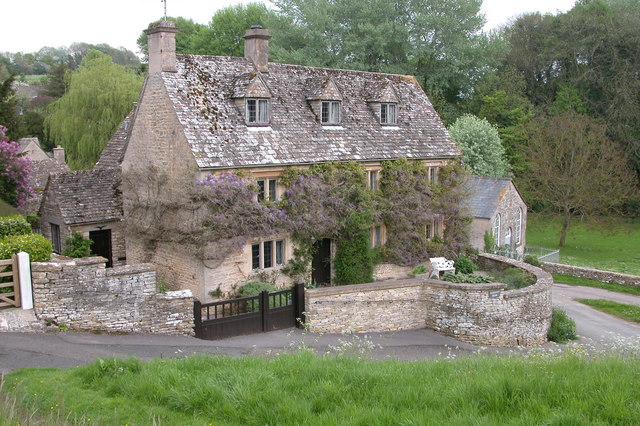
Field's Copse Images

Images are sourced within 2km of 51.776617/-2.0163745 or Grid Reference SO9808. Thanks to Geograph Open Source API. All images are credited.

Duntisbourne Abbots: St. Peter's Church: The sundial on the south porch
Duntisbourne Abbots: Nave capital 2
Road parallel to the A417 I expect this was the original trunk road and it has the services now used for the new A417.
Road parallel to the A417
I expect this was the original trunk road and it has the services now used for the new A417.
Services off of the A417
Duntisbourne Services southbound
Bus Stop for Duntisbourne Just here the A417 dual carriageway separates for a short while.
Bus Stop for Duntisbourne
Just here the A417 dual carriageway separates for a short while.
Junction for Duntisbourne Leer
A417 just south of Duntisbourne Junction Coordinates from Where's the path. Just here the trees encroach onto the grass verges
A417 just south of Duntisbourne Junction
Coordinates from Where's the path. Just here the trees encroach onto the grass verges
Ermine Street, A417, heading south Quarter of a mile to phone sign south of Duntisbourne
Ermine Street, A417, heading south
Quarter of a mile to phone sign south of Duntisbourne
A417 crossing Welsh Way near Dartley
Old Milestone by the A417, Ermin Way, Duntisbourne Abbots Parish Metal plate attached to stone post by the A417, in parish of DUNTISBOURNE ABBOTS (COTSWOLD District), North of Dartley Farm (southbound carriageway), by the North East side of road. Cirencester iron plate, erected by the Cirencester to Birdlip turnpike trust in the 19th century. For a more recent image see <a href="https://www.geograph.org.uk/photo/6988472">SO9807 : Old Milestone, A417 Duntisbourne Abbots</a>

Inscription reads:- : CIREN:R / 4 / GLOSTER / 13 

Milestone Society National ID: GL_LG94.
Old Milestone by the A417, Ermin Way, Duntisbourne Abbots Parish
Metal plate attached to stone post by the A417, in parish of DUNTISBOURNE ABBOTS (COTSWOLD District), North of Dartley Farm (southbound carriageway), by the North East side of road. Cirencester iron plate, erected by the Cirencester to Birdlip turnpike trust in the 19th century. For a more recent image see SO9807 : Old Milestone, A417 Duntisbourne Abbots Inscription reads:- : CIREN:R / 4 / GLOSTER / 13 Milestone Society National ID: GL_LG94.
Ducks at Duntisbourne Leer Very picturesque and much photographed, the Duntisbourne flows via a ford over the single street of this small hamlet. Recorded in the Domesday Book as belonging to the abbey of Lyre in Normandy,  
From a print. Date approximate.
Ducks at Duntisbourne Leer
Very picturesque and much photographed, the Duntisbourne flows via a ford over the single street of this small hamlet. Recorded in the Domesday Book as belonging to the abbey of Lyre in Normandy, From a print. Date approximate.
Old Milestone by the A417, near The Five Mile House Metal plate attached to stone post by the A417, in parish of DUNTISBOURNE ABBOTS (COTSWOLD District), Southeast of The Five Mile House, by the Northeast side of road. Cirencester iron plate, erected by the Cirencester to Birdlip turnpike trust in the 19th century. 

Inscription reads:-
CIREN: R
5
GLOSTER
12

Grade II listed.  
List Entry Number: 1088458 <span class="nowrap"><a title="https://historicengland.org.uk/listing/the-list/list-entry/1088458" rel="nofollow ugc noopener" href="https://historicengland.org.uk/listing/the-list/list-entry/1088458">Link</a><img style="margin-left:2px;" alt="External link" title="External link - shift click to open in new window" src="https://s1.geograph.org.uk/img/external.png" width="10" height="10"/></span>

Milestone Society National ID: GL_LG95.
Old Milestone by the A417, near The Five Mile House
Metal plate attached to stone post by the A417, in parish of DUNTISBOURNE ABBOTS (COTSWOLD District), Southeast of The Five Mile House, by the Northeast side of road. Cirencester iron plate, erected by the Cirencester to Birdlip turnpike trust in the 19th century. Inscription reads:- CIREN: R 5 GLOSTER 12 Grade II listed. List Entry Number: 1088458 LinkExternal link Milestone Society National ID: GL_LG95.
A417 Ermin Way and Daglingworth Quarry: aerial 2019
A417 Ermine Way and Daglingworth Quarry: aerial 2019
Service Station Serving the A417.
Service Station
Serving the A417.
A417, Duntisbourne Leer junction
A417, at Duntisbourne Leer junction
Show me another place!

Field's Copse is located at Grid Ref: SO9808 (Lat: 51.776617, Lng: -2.0163745)

Administrative County: Gloucestershire

District: Cotswold

Police Authority: Gloucestershire

What 3 Words

///passion.refer.spells. Near Stratton, Gloucestershire

Nearby Locations

Field's Copse

Related Wikis

Woodmancote, Cirencester

Woodmancote is a Cotswolds village near Cirencester, Gloucestershire, England. The village lies just off the A435. The village is 0.2 square miles (52...

Five Mile House, Duntisbourne Abbots

The Five Mile House is a former pub on Old Gloucester Road, Duntisbourne Abbots, Gloucestershire, England. It was built in the 17th century and is grade...
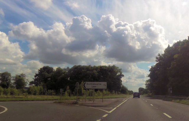
Duntisbourne Leer

Duntisbourne Leer is a hamlet in the county of Gloucestershire, and lies within the Cotswolds, a range of hills designated an Area of Outstanding Natural...

Davenport House, Duntisbourne Abbots

Davenport House is an historic building in the English village of Duntisbourne Abbots, Gloucestershire. Located on the eastern side of the village, it...

Duntisbourne Abbots

Duntisbourne Abbots is a village and civil parish located in the English county of Gloucestershire. Duntisbourne Abbots forms part of the Cotswold District...

Duntisbourne Rouse

Duntisbourne Rouse is a village and civil parish in Gloucestershire, England. It lies in the Cotswolds, an Area of Outstanding Natural Beauty. At the...

Church of St Bartholomew, Winstone

The Anglican Church of St Bartholomew at Winstone in the Cotswold District of Gloucestershire, England was built in the 11th century. It is a grade I listed...

St Michael's Church, Duntisbourne Rouse

St Michael's Church is an Anglican church in the Cotswold village of Duntisbourne Rouse, Gloucestershire, England. It dates from no later than the 11th...

Have you been to Field's Copse?

Leave your review of Field's Copse below (or comments, questions and feedback).