Plant Conservation Centre

Heritage Site in Devon East Devon

England

Plant Conservation Centre

In need of some TLC An overgrown greenhouse at Wildwood Escot.
a slightly less overgrown photograph can be seen <a href="https://www.geograph.org.uk/photo/5363512">SY0797 : Walled garden at Escot</a>
In need of some TLC Credit: Anthony Vosper

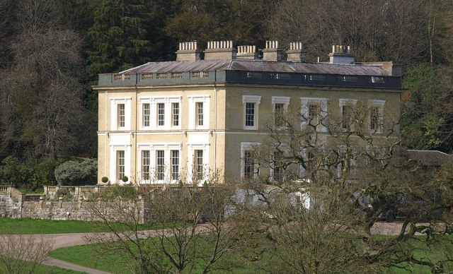
The Plant Conservation Centre, located in Devon, is a renowned heritage site dedicated to the preservation and conservation of plants. This center serves as a hub for plant enthusiasts, researchers, and conservationists, providing them with valuable resources and knowledge.

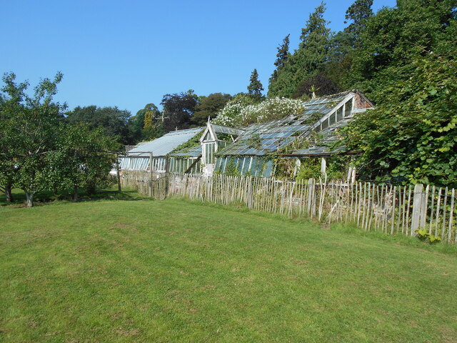
The center boasts a vast collection of plant species, both native and exotic, which are carefully cultivated and protected. This extensive collection serves as a living repository of plant biodiversity, allowing scientists and researchers to study and understand various plant species and their ecological importance. The Plant Conservation Centre plays a crucial role in the conservation of endangered and rare plants, ensuring their survival for future generations.

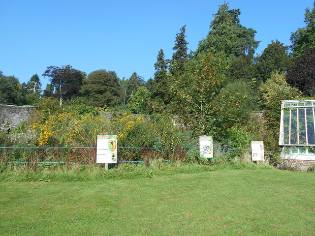
Visitors to the center can explore its beautifully landscaped gardens, which showcase a diverse range of plant species. These gardens are not only aesthetically pleasing but also serve as educational tools, providing visitors with insights into the importance of plant conservation. Guided tours and interactive exhibits are available, offering visitors an opportunity to learn about the center's conservation efforts.

The Plant Conservation Centre also offers various educational programs and workshops, catering to students, professionals, and the general public. These programs aim to raise awareness about the importance of plant conservation and provide participants with practical knowledge and skills in plant cultivation and preservation.

Overall, the Plant Conservation Centre in Devon is a vital institution in the field of plant conservation. Its commitment to protecting and promoting plant biodiversity ensures that future generations will continue to benefit from the beauty and ecological services provided by plants.

If you have any feedback on the listing, please let us know in the comments section below.

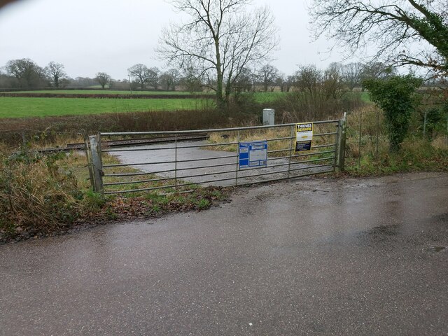
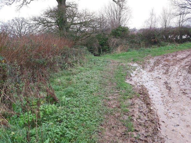
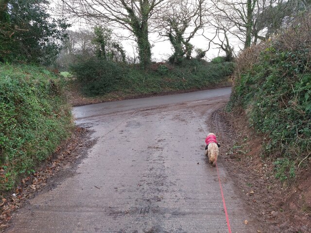
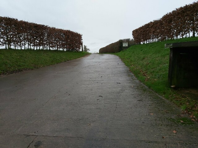
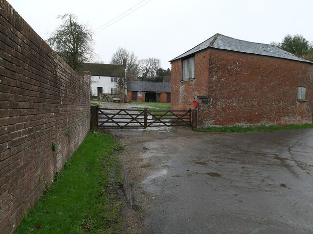
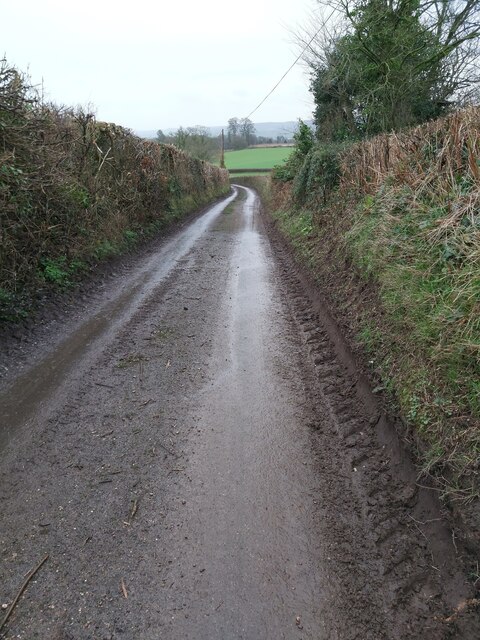
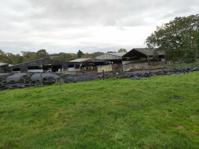
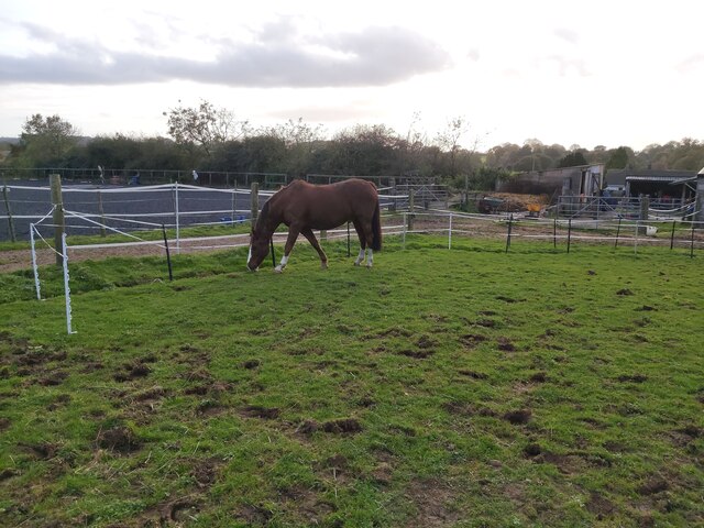
Plant Conservation Centre Images

Images are sourced within 2km of 50.784/-3.312 or Grid Reference SY0799. Thanks to Geograph Open Source API. All images are credited.

In need of some TLC An overgrown greenhouse at Wildwood Escot.
a slightly less overgrown photograph can be seen <a href="https://www.geograph.org.uk/photo/5363512">SY0797 : Walled garden at Escot</a>
In need of some TLC
An overgrown greenhouse at Wildwood Escot. a slightly less overgrown photograph can be seen SY0797 : Walled garden at Escot
A quiet corner A section of the kitchen garden at Wildwood Escot, has been allowed to grow wild to encourage wildlife.
the signs give information on the types of bees that can found.
A quiet corner
A section of the kitchen garden at Wildwood Escot, has been allowed to grow wild to encourage wildlife. the signs give information on the types of bees that can found.
Double Bridge over a River This road bridge and wooden bridge combined is on the Wildwood Escot Park Estate near Talaton in Devon. The bridge crosses a tributary of the River Tale.
Double Bridge over a River
This road bridge and wooden bridge combined is on the Wildwood Escot Park Estate near Talaton in Devon. The bridge crosses a tributary of the River Tale.
Country Road in Devon A country road looking towards Talaton village in Devon.
Country Road in Devon
A country road looking towards Talaton village in Devon.
Metal Gate Access to Railway This locked metal gate is provided for authorised access to the railway. Seen on the road between Escot Park and Talaton in Devon.
Metal Gate Access to Railway
This locked metal gate is provided for authorised access to the railway. Seen on the road between Escot Park and Talaton in Devon.
Stile in the Corner of a Field A path approaching a stile in the corner of a field along a public footpath running from New Barn Farm to Ivy Cottages near Talaton in Devon.
Stile in the Corner of a Field
A path approaching a stile in the corner of a field along a public footpath running from New Barn Farm to Ivy Cottages near Talaton in Devon.
Junction between Farm Track and Road This junction between the farm track and a country road is in between Beacon Cross and Larkbeare in Devon.
Junction between Farm Track and Road
This junction between the farm track and a country road is in between Beacon Cross and Larkbeare in Devon.
Road Entrance to a Farm Entrance driveway to Springfield Farm as viewed from the country road between Beacon Cross and Larkbeare in Devon.
Road Entrance to a Farm
Entrance driveway to Springfield Farm as viewed from the country road between Beacon Cross and Larkbeare in Devon.
Gated Entrance to a Farmhouse Wooden, gated entrance to Larkbeare Dairy Farmhouse on the country road between Larkbeare and Talaton Farm in Devon.
Gated Entrance to a Farmhouse
Wooden, gated entrance to Larkbeare Dairy Farmhouse on the country road between Larkbeare and Talaton Farm in Devon.
Country Road near Larkbeare A view down the country road from Larkbeare to Talaton Farm in Devon looking towards Escot Park.
Country Road near Larkbeare
A view down the country road from Larkbeare to Talaton Farm in Devon looking towards Escot Park.
Parklands Farm A view of the back of Parklands Farm in Talaton, East Devon as seen from the public footpath that runs past it in the adjoining field.
Parklands Farm
A view of the back of Parklands Farm in Talaton, East Devon as seen from the public footpath that runs past it in the adjoining field.
Horse Paddock in Talaton A view of a grass horse paddock in Talaton, Devon as viewed from the public footpath that crosses the field.
Horse Paddock in Talaton
A view of a grass horse paddock in Talaton, Devon as viewed from the public footpath that crosses the field.
Metal Farm Gate A view of a double metal farm gate between the field and country lane just east of Talaton in Devon. The gate is positioned opposite Lashbrook Farm on the road between Bittery Cross and Beacon Cross.
Metal Farm Gate
A view of a double metal farm gate between the field and country lane just east of Talaton in Devon. The gate is positioned opposite Lashbrook Farm on the road between Bittery Cross and Beacon Cross.
Bus Shelter at Talaton A view of the wooden bus shelter at Bittery Cross just east of Talaton in Devon.
Bus Shelter at Talaton
A view of the wooden bus shelter at Bittery Cross just east of Talaton in Devon.
Gate over a Stream A view of a small gate leading to a footbridge over a stream next to the country lane that runs between Bittery Cross and Rydon House, east of Talaton in Devon.
Gate over a Stream
A view of a small gate leading to a footbridge over a stream next to the country lane that runs between Bittery Cross and Rydon House, east of Talaton in Devon.
Field near Newtown A view across the fields towards Newtown, Talaton in Devon from the country lane that runs between Newtown and Whimple.
Field near Newtown
A view across the fields towards Newtown, Talaton in Devon from the country lane that runs between Newtown and Whimple.
Railway heading to Exeter A view of the railway heading to Exeter from a road bridge between Newtown and Whimple in Devon.
Railway heading to Exeter
A view of the railway heading to Exeter from a road bridge between Newtown and Whimple in Devon.
 A Herd of Cows A herd of cows gather around a style on the public footpath between Sunny View Farm and Westcott in Devon.
A Herd of Cows
A herd of cows gather around a style on the public footpath between Sunny View Farm and Westcott in Devon.
Show me another place!

Plant Conservation Centre is located at Grid Ref: SY0799 (Lat: 50.784, Lng: -3.312)

Administrative County: Devon

District: East Devon

Police Authority: Devon and Cornwall

What 3 Words

///dabbing.acrobatic.drooling. Near Whimple, Devon

Related Wikis

Talaton

Talaton is a village and a civil parish in the English county of Devon. It lies approximately 6 miles to the west of Honiton, 3 miles to the north of...

Escot, Talaton

Escot in the parish of Talaton, near Ottery St Mary in Devon, is an historic estate. The present mansion house known as Escot House is a grade II listed...

Feniton railway station

Feniton railway station serves the village of Feniton in Devon, England. It was opened by the London and South Western Railway (LSWR) in 1860 but is now...

Feniton

Feniton is a village and civil parish in East Devon in the English county of Devon. The village lies about 4 miles (6.4 km) west of Honiton, 3 miles (4...

Fairmile, Devon

Fairmile is a hamlet in the English county of Devon. In the late 1990s, Fairmile became a focus of direct action protest activities, as squatters attempted...

Payhembury

Payhembury is a village and civil parish in the East Devon district of Devon, England. The village is about six miles west of Honiton. At the time of...

Cadhay

Cadhay is an historic estate in the parish of Ottery St Mary in Devon, England, 10 miles (16 km) east of Exeter and 5 miles (8 km) from the sea at Sidmouth...

Aunk

Aunk (anciently Anke) is a small hamlet and former manor in the parish of Clyst Hydon in East Devon, England. The place-name is of Celtic origin along...

Nearby Amenities

Located within 500m of 50.784,-3.312
Addr Housename: Lashbrook Farm House
Lat/Long: 50.7846532/-3.314628
Power: pole
Lat/Long: 50.7798805/-3.3096322
Power: pole
Lat/Long: 50.7867807/-3.3094613
Power: pole
Lat/Long: 50.7876756/-3.3084792
Power: pole
Lat/Long: 50.7853853/-3.3094407
Power: pole
Lat/Long: 50.7814043/-3.3084012
Power: pole
Lat/Long: 50.783001/-3.3081396
Power: pole
Lat/Long: 50.7807128/-3.3090866
Power: pole
Lat/Long: 50.7860856/-3.3101361
Power: pole
Lat/Long: 50.7821534/-3.3076744
Power: pole
Lat/Long: 50.7842746/-3.3088215
Power: pole
Lat/Long: 50.7871037/-3.3088698
Power: pole
Lat/Long: 50.7836443/-3.3084863
Generator Method: photovoltaic
Generator Output Electricity: yes
Generator Source: solar
Generator Type: solar_photovoltaic_panel
Location: roof
Power: generator
Source: Bing
Lat/Long: 50.7820238/-3.3094436
Power: pole
Source: bing
Lat/Long: 50.7863031/-3.3103475
The data included in this document is from www.openstreetmap.org. The data is made available under ODbL.

Have you been to Plant Conservation Centre?

Leave your review of Plant Conservation Centre below (or comments, questions and feedback).