Plas Ashpool

Heritage Site in Denbighshire

Wales

Plas Ashpool

A smattering of snow in the Vale of Clwyd Looks like the television mast is being launched from Moel y Parc
A smattering of snow in the Vale of Clwyd Credit: Eirian Evans

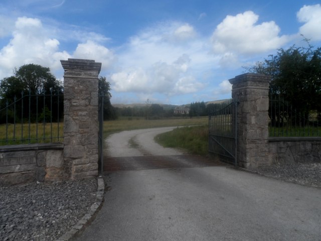
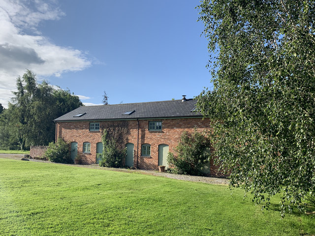
Plas Ashpool, located in Denbighshire, Wales, is a magnificent heritage site that holds great historical and cultural significance. The building itself is a Grade II* listed mansion, showcasing stunning architectural features and providing a glimpse into the grandeur of the past.

Built in the early 19th century, Plas Ashpool exemplifies the Georgian style of architecture, characterized by its symmetrical design, sash windows, and a central entrance. The mansion was originally constructed as a country residence for the influential Ashpool family, who were prominent landowners in the area.

The interior of Plas Ashpool is equally impressive, boasting intricate woodwork, ornate plasterwork, and elegant period furnishings. The mansion's rooms are spacious and beautifully decorated, reflecting the luxurious lifestyle of its former residents. Notably, the drawing room features a stunning ceiling adorned with elaborate plasterwork.

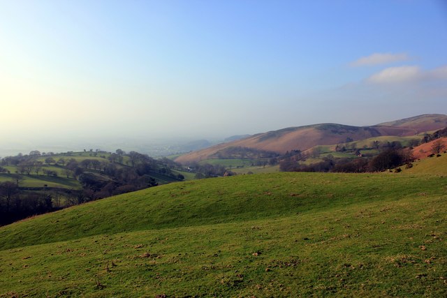
The grounds surrounding Plas Ashpool are equally captivating, with meticulously landscaped gardens and breathtaking views of the surrounding countryside. Visitors can explore the picturesque gardens, which are dotted with ancient trees, colorful flower beds, and well-manicured lawns.

Plas Ashpool is not only admired for its architectural and natural beauty but also for its historical significance. It has witnessed numerous historical events and has been associated with notable figures throughout its existence. The mansion has been carefully preserved and restored over the years, ensuring its continued status as a cherished heritage site.

Today, Plas Ashpool serves as a popular destination for history enthusiasts, architectural admirers, and nature lovers alike. It offers guided tours, allowing visitors to immerse themselves in the rich history and captivating beauty of this remarkable heritage site in Denbighshire.

If you have any feedback on the listing, please let us know in the comments section below.

Plas Ashpool Images

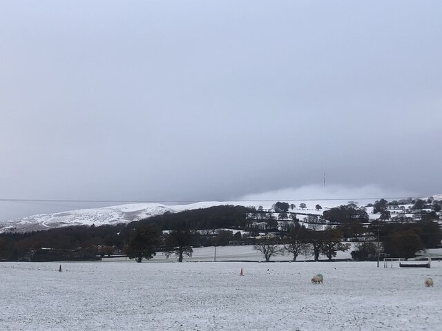
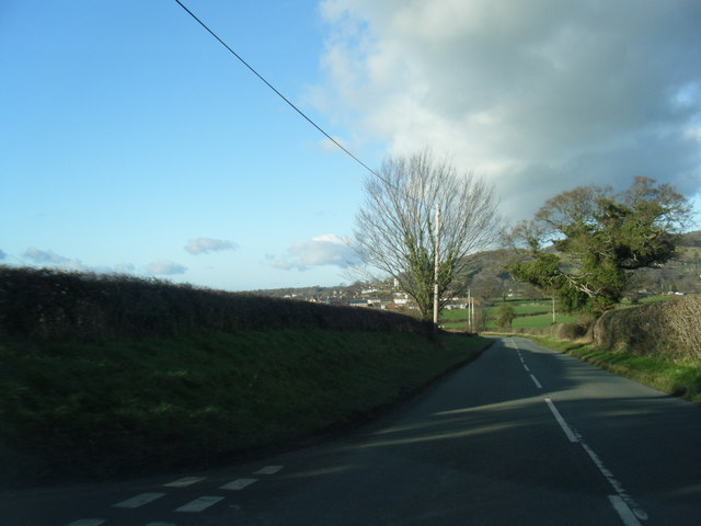
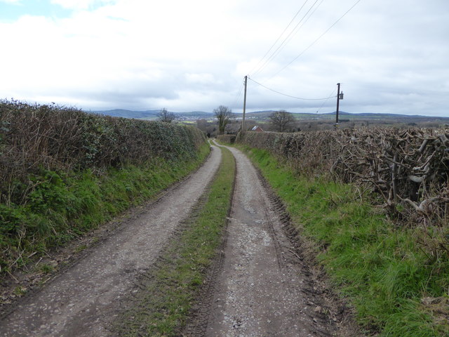
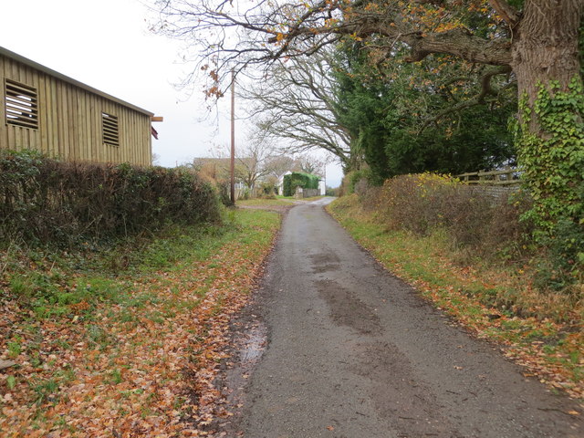
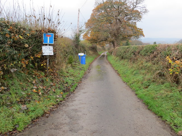
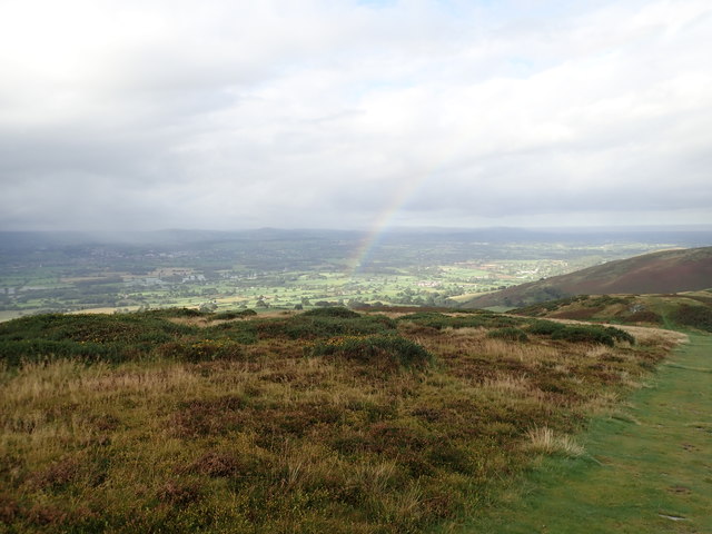
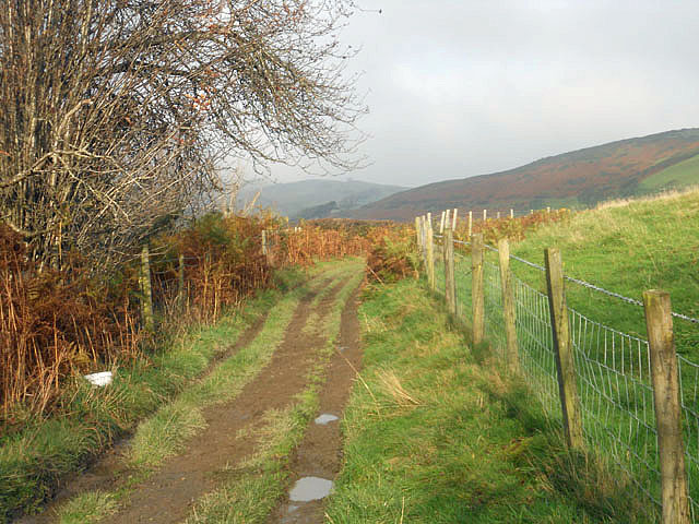
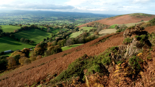
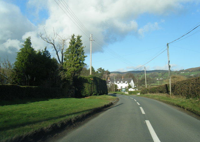
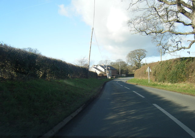
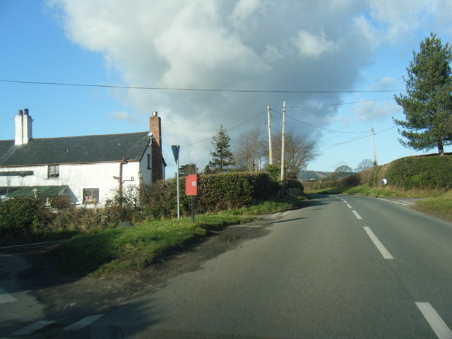
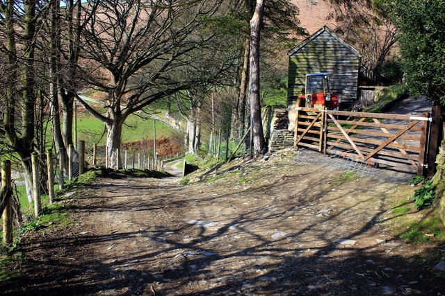
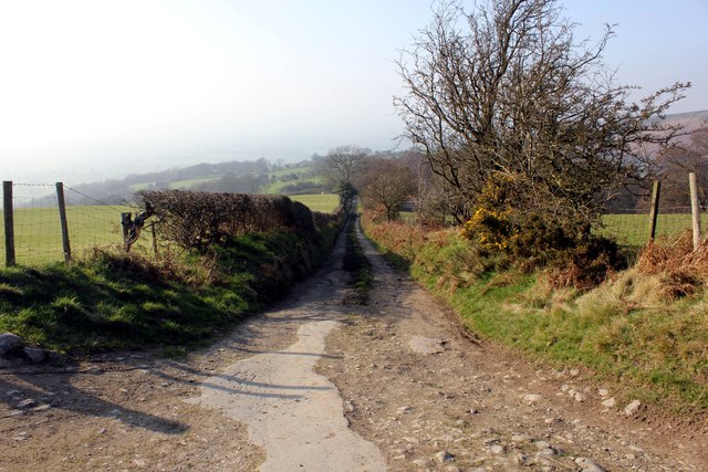
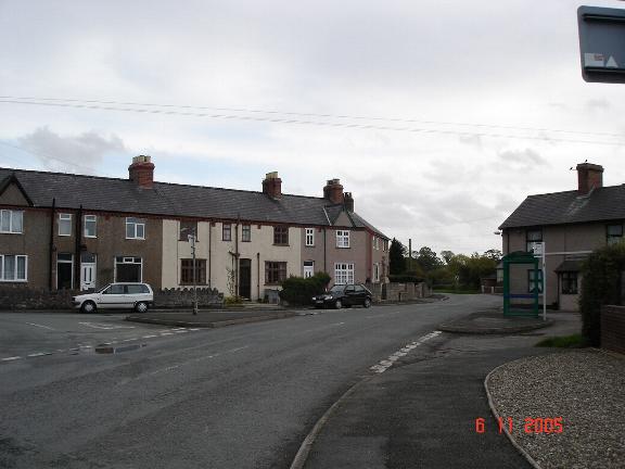
Images are sourced within 2km of 53.197/-3.34 or Grid Reference SJ1067. Thanks to Geograph Open Source API. All images are credited.

A smattering of snow in the Vale of Clwyd Looks like the television mast is being launched from Moel y Parc
A smattering of snow in the Vale of Clwyd
Looks like the television mast is being launched from Moel y Parc
B5429 south of Aberwheeler
Y Porth i Glan y Wern / Entrance to Glan y Wern
Muddy lane to Cil Llwyn South of Aberwheeler in the Vale of Clwyd
Muddy lane to Cil Llwyn
South of Aberwheeler in the Vale of Clwyd
Minor road at Garn-Clwyd Bella Looking south-westward.
Minor road at Garn-Clwyd Bella
Looking south-westward.
Farm lane to Glan Clwyd Ganol Looking south-westward.
Farm lane to Glan Clwyd Ganol
Looking south-westward.
Glan Clwyd Isa Farm Outbuildings close to the farmhouse, now converted to holiday rental properties.
Glan Clwyd Isa Farm
Outbuildings close to the farmhouse, now converted to holiday rental properties.
Rainbow over the Vale of Clwyd
On the Clwydian Way
On the Clwydian Way
Penycloddiau View from the public footpath below the summit of Penycloddiau looking North Westerly towards the North Wales coast.
Penycloddiau
View from the public footpath below the summit of Penycloddiau looking North Westerly towards the North Wales coast.
B5429 near Waen
B5429 near Waen
B5429 at Pont-garreg
B5429 at Dre-goch
B5429 at Dre-goch
Offa's Dyke Path at Aifft
The Clwydian Way The Clwydian Way is a circular walk which runs for a total of 122 miles (196 km). It was established by the North Wales area of the Rambler's Association to mark the Millennium. The route starts in Prestatyn and passes through Ruthin, Llangollen, Corwen, St. Asaph, Denbigh and Rhuddlan.
The Clwydian Way
The Clwydian Way is a circular walk which runs for a total of 122 miles (196 km). It was established by the North Wales area of the Rambler's Association to mark the Millennium. The route starts in Prestatyn and passes through Ruthin, Llangollen, Corwen, St. Asaph, Denbigh and Rhuddlan.
View from the Clwydian Way Looking north west in the general direction of Bodfari.
View from the Clwydian Way
Looking north west in the general direction of Bodfari.
Sheep on the Clwydian Way
Lane off the Clwydian Way This lane leads to Finger Cottage.
Lane off the Clwydian Way
This lane leads to Finger Cottage.
Show me another place!

Plas Ashpool is located at Grid Ref: SJ1067 (Lat: 53.197, Lng: -3.34)

What 3 Words

///brighter.relief.scorecard. Near Denbigh, Denbighshire

Nearby Locations

Plas Ashpool

Related Wikis

Aled Rural District

Aled was a rural district in the administrative county of Denbighshire, Wales, from 1935 to 1974. The district was created by a county review order in...

Aberwheeler

Aberwheeler (Welsh: Aberchwiler) is a village and community in the Welsh county of Denbighshire, located on the south bank of the River Wheeler (Welsh...

Penycloddiau

Penycloddiau is a hill in Flintshire, Wales, and one of five Marilyns in the Clwydian Range. The hill, like Foel Fenlli and Moel Arthur to the south,...

Llandyrnog

Llandyrnog is a large village and community in Denbighshire, Wales lying in the valley of the River Clwyd, about 3 miles (4.8 km) from Denbigh and 5 miles...

Nearby Amenities

Located within 500m of 53.197,-3.34
Power: pole
Lat/Long: 53.1947127/-3.3340513
Power: pole
Lat/Long: 53.1956891/-3.3345697
Power: pole
Lat/Long: 53.1967354/-3.3351348
Power: pole
Lat/Long: 53.1972922/-3.3355224
Power: pole
Lat/Long: 53.1979076/-3.335952
Power: pole
Lat/Long: 53.1987357/-3.3365171
Power: pole
Lat/Long: 53.201187/-3.3383296
Power: pole
Lat/Long: 53.2002598/-3.3361321
Power: pole
Lat/Long: 53.2001352/-3.337507
Post Box
Brand: Royal Mail
Brand Wikidata: Q638098
Collection Times: Mo-Fr 09:30; Sa 09:30
Operator: Royal Mail
Operator Wikidata: Q638098
Post Box Type: lamp
Ref: LL16 17
Royal Cypher: EIIR
Royal Cypher Wikidata: Q33102113
Lat/Long: 53.1935998/-3.3360079
Direction: SSE
Generator Method: photovoltaic
Generator Output Electricity: yes
Generator Solar Modules: 9
Generator Source: solar
Generator Type: solar_photovoltaic_panel
Location: roof
Power: generator
Lat/Long: 53.1959178/-3.3359425
The data included in this document is from www.openstreetmap.org. The data is made available under ODbL.

Have you been to Plas Ashpool?

Leave your review of Plas Ashpool below (or comments, questions and feedback).