Pen-y-gaer
Heritage Site in Brecknockshire
Wales
Pen-y-gaer
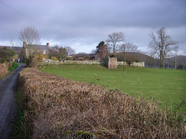
Pen-y-gaer is a historical site located in Brecknockshire, Wales. It is a prominent heritage site that holds significant archaeological and historical value. The name Pen-y-gaer translates to "the top of the fort" in Welsh, accurately describing its geographical location atop a hill.
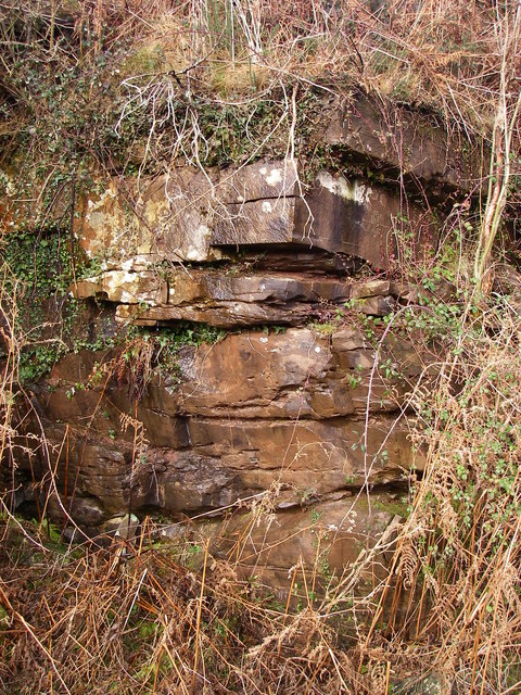
Dating back to the Iron Age, this hillfort is believed to have been built around 2000 years ago. It covers an area of approximately 2.5 acres and is surrounded by well-preserved defensive earthworks, including a double-ditched rampart and a series of banks. The fort's strategic placement on the hilltop offers a commanding view of the surrounding landscape, suggesting its intended purpose as a defensive stronghold.
Excavations carried out at Pen-y-gaer have revealed fascinating insights into its ancient inhabitants. The remains of roundhouses, storage pits, and other structures indicate that the site was once a thriving settlement. Various artifacts, such as pottery shards, metal objects, and even animal bones, have been unearthed, shedding light on the daily lives and activities of the people who lived there.
Today, Pen-y-gaer is a popular destination for history enthusiasts and hikers alike. Its well-preserved earthworks and commanding views make it an ideal spot for exploration and appreciation of the past. The site offers visitors a chance to step back in time and imagine what life was like in this ancient hillfort, providing a tangible connection to the region's rich and diverse history.
If you have any feedback on the listing, please let us know in the comments section below.
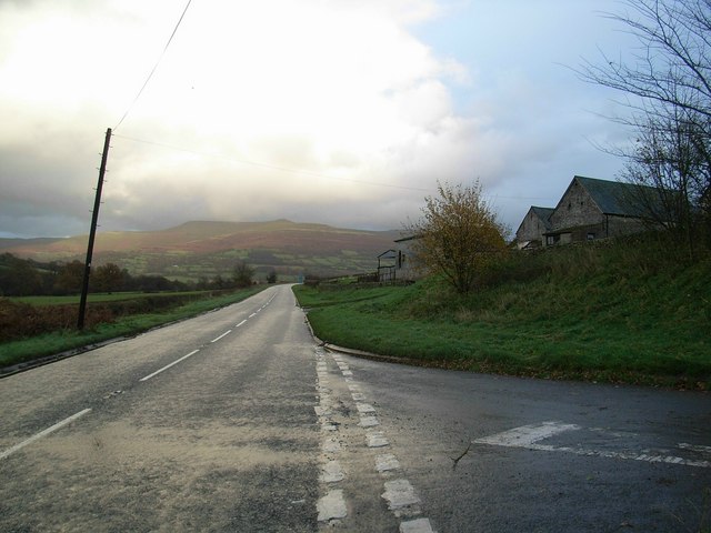
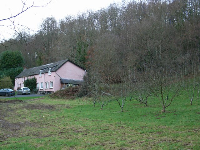
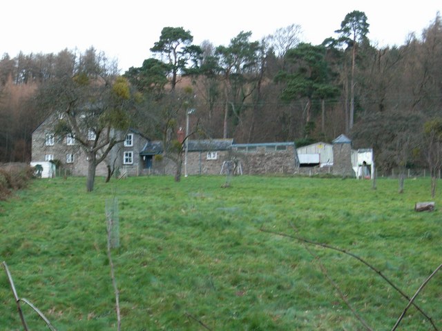
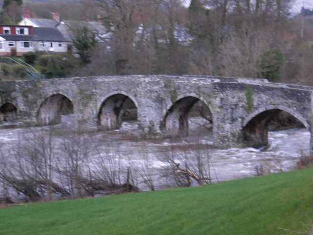
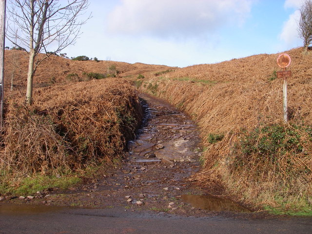
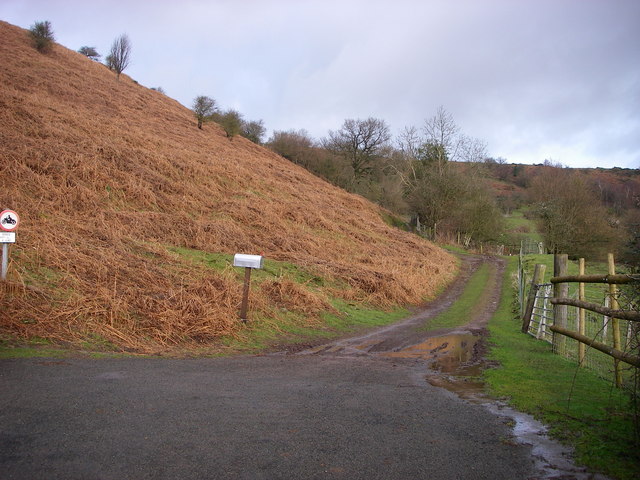
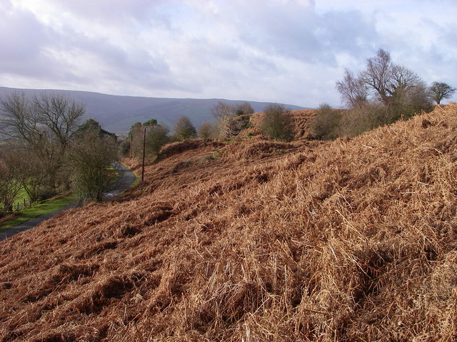
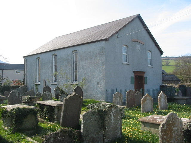
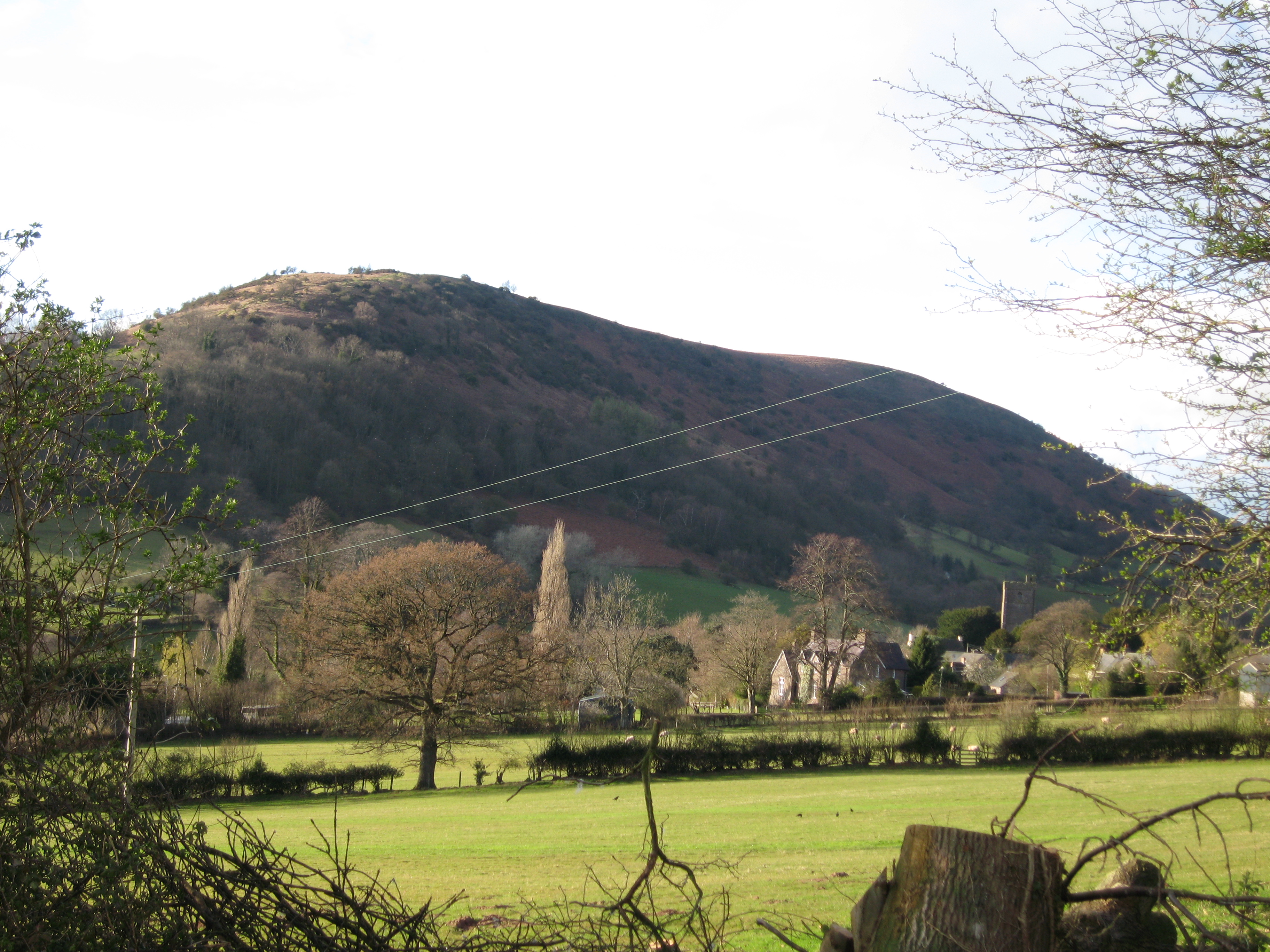
Pen-y-gaer Images
Images are sourced within 2km of 51.885/-3.213 or Grid Reference SO1621. Thanks to Geograph Open Source API. All images are credited.
Pen-y-gaer is located at Grid Ref: SO1621 (Lat: 51.885, Lng: -3.213)
Unitary Authority: Powys
Police Authority: Dyfed Powys
What 3 Words
///retaliate.forwarded.pesky. Near Llangynidr, Powys
Nearby Locations
Related Wikis

Myarth
Myarth is a hill in the Usk Valley in the county of Powys in South Wales, about 2 miles west of Crickhowell. Its summit at 292 metres (958 ft) is covered...

Llygadwy
Llygadwy is a locality near the village of Bwlch in the county of Powys in southeast Wales. The usual meaning of llygad in Welsh is 'eye' but it can signify...

Bwlch
Bwlch (meaning a pass in Welsh) is a small village and an electoral ward in the community of Cwmdu and District, Powys, south Wales. The settlement is...
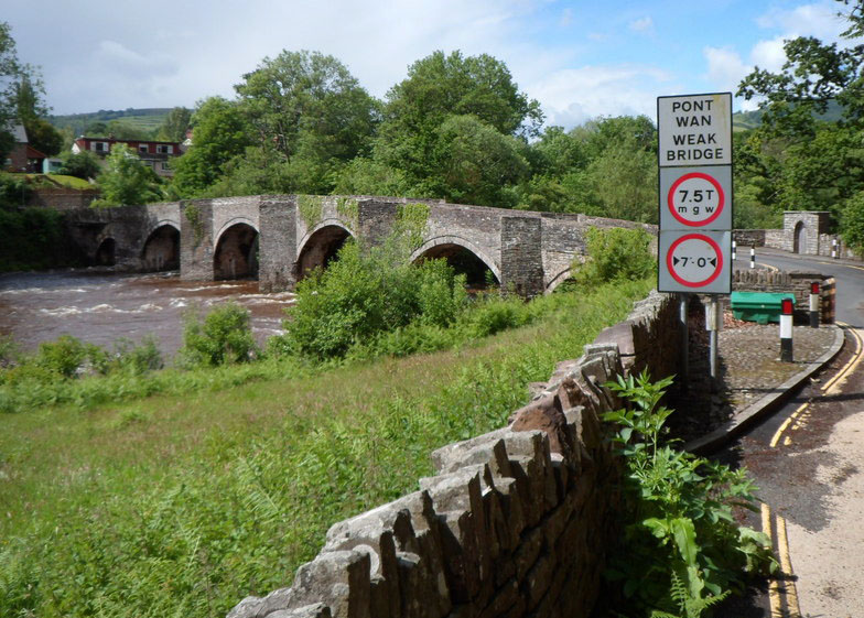
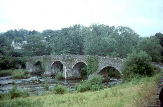
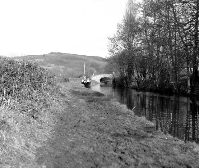
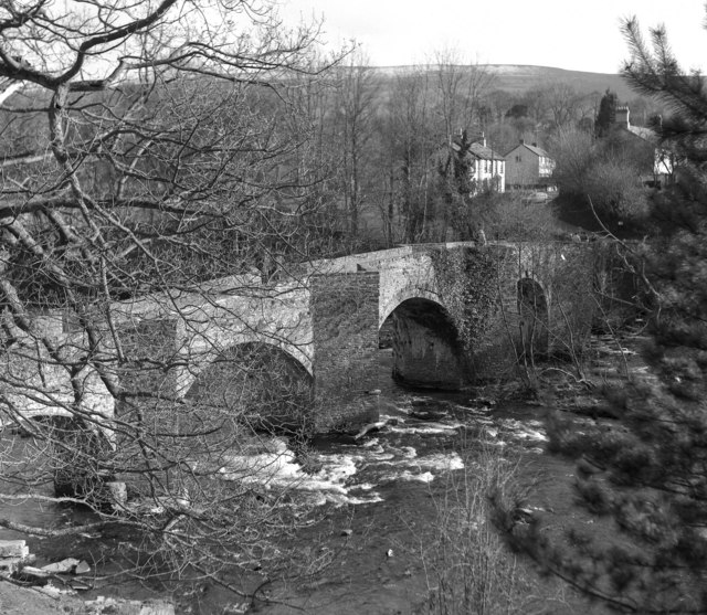
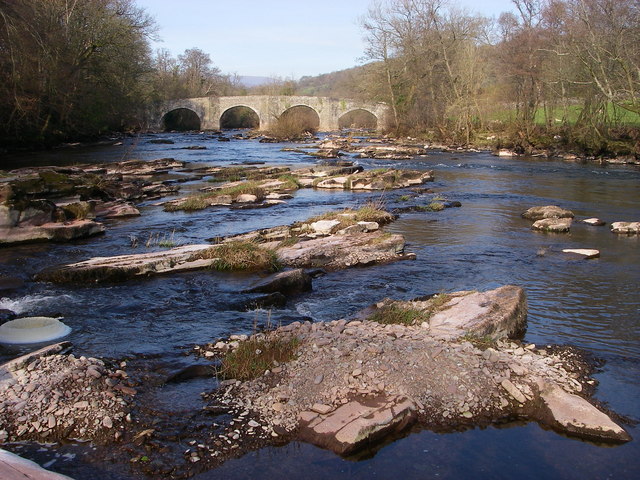
Llangynidr Bridge
Llangynidr Bridge, also known as "Coed-yr-Ynys Bridge", is an early 18th-century bridge that crosses the River Usk to the north of Llangynidr, Powys, Wales...

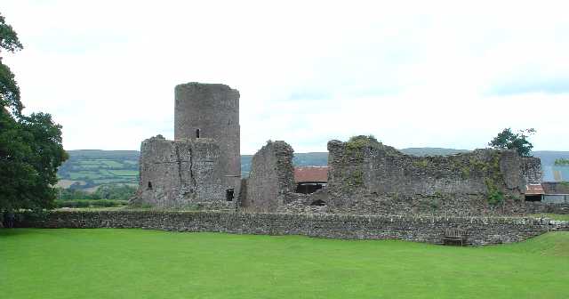
Tretower Castle
Tretower Castle (Welsh: Castell Tretŵr) is a Grade I-listed ruined castle in the village of Tretower in the county of Powys, Wales. It was built around...

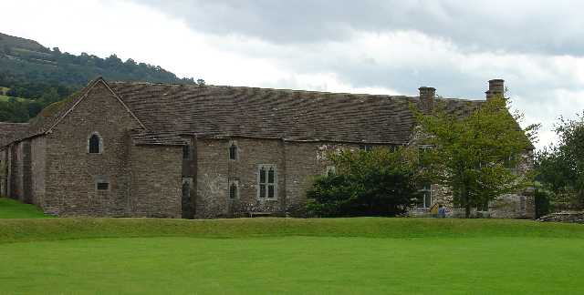
Tretower Court
Tretower Court (Welsh: Llys Tre-tŵr) is a medieval fortified manor house in Wales, situated in the village of Tretower, near Crickhowell in modern-day...
Tretower
Tretower (Welsh: Tretŵr) is a hamlet in the community of Cwmdu and District, in the southern part of the county of Powys in Wales. It lies on the A479...
Cwmdu, Powys
Cwmdu or Llanfihangel Cwmdu is a small village in the community of Cwmdu and District, situated in the heart of the Black Mountains in Powys, Wales. Its...
Nearby Amenities
Located within 500m of 51.885,-3.213Have you been to Pen-y-gaer ?
Leave your review of Pen-y-gaer below (or comments, questions and feedback).