Pen-y-gaer
Heritage Site in Montgomeryshire
Wales
Pen-y-gaer
The requested URL returned error: 429 Too Many Requests
If you have any feedback on the listing, please let us know in the comments section below.
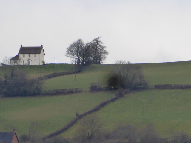
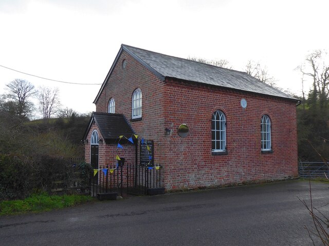
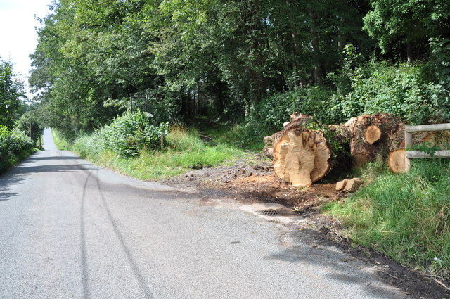
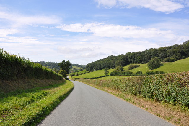
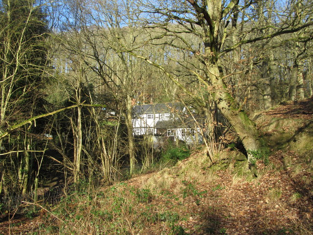
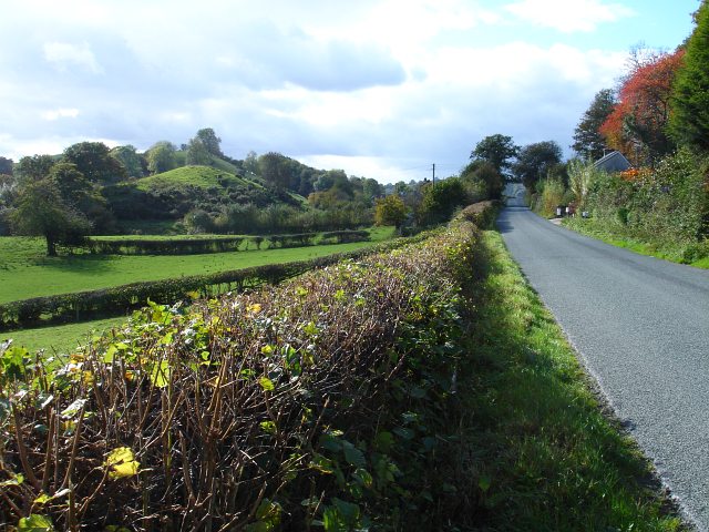
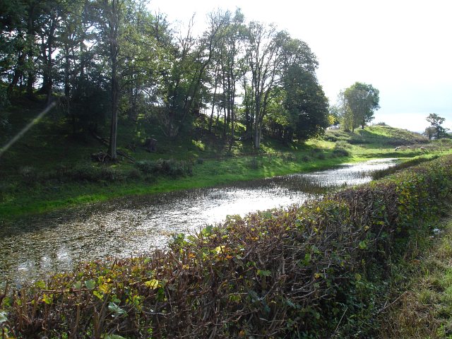
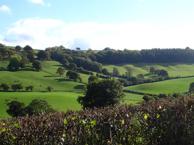
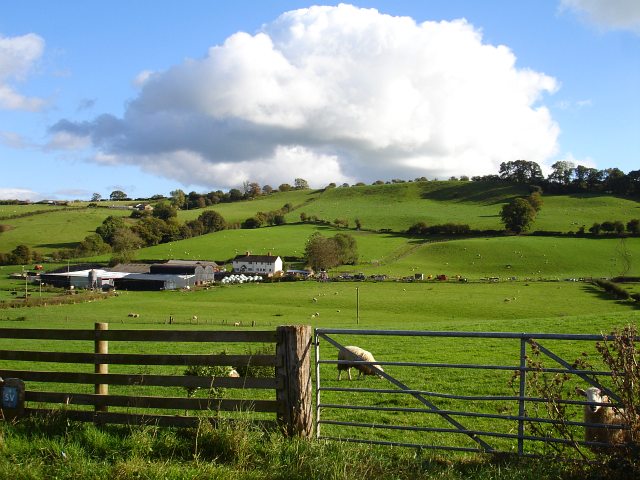
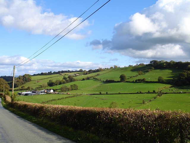
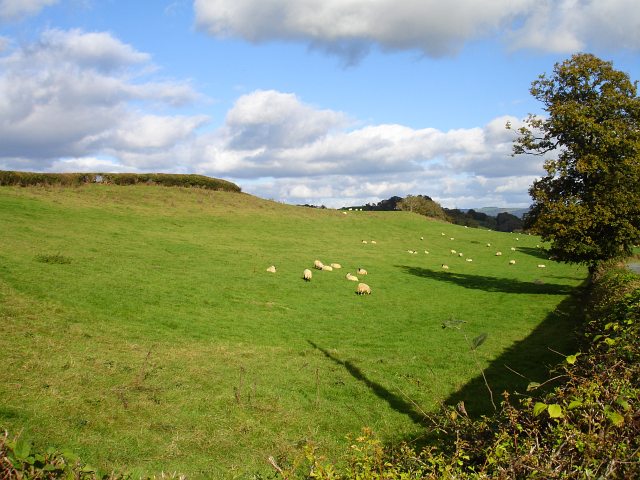
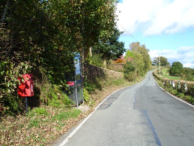
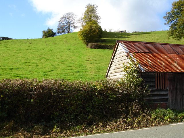
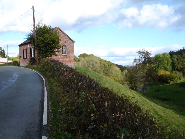
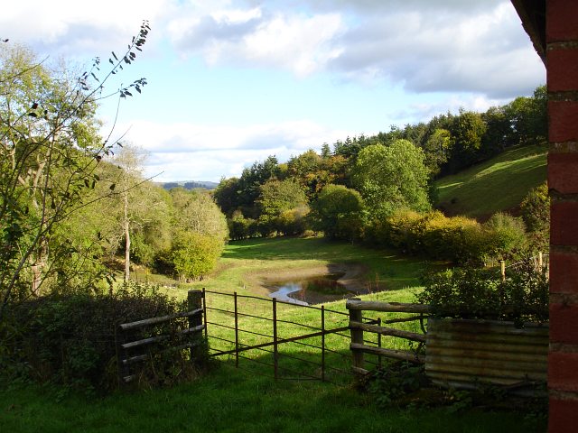
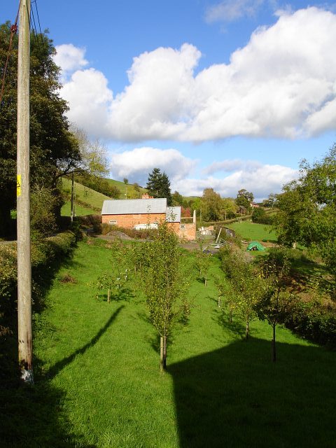
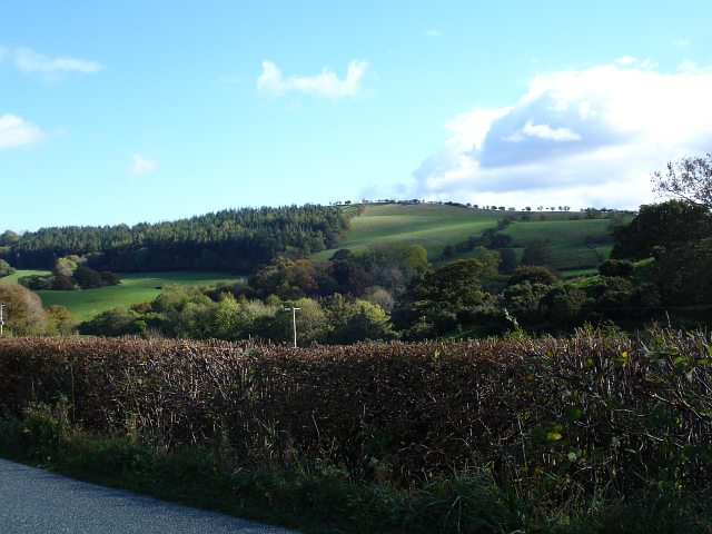
Pen-y-gaer Images
Images are sourced within 2km of 52.568/-3.262 or Grid Reference SO1497. Thanks to Geograph Open Source API. All images are credited.
Pen-y-gaer is located at Grid Ref: SO1497 (Lat: 52.568, Lng: -3.262)
Unitary Authority: Powys
Police Authority: Dyfed Powys
What 3 Words
///cricket.scribbled.besotted. Near Newtown, Powys
Nearby Locations
Related Wikis
Bettws Cedewain
Bettws Cedewain (Welsh: Betws Cedewain), also known as Bettws Cedewen, is a small village and community in Montgomeryshire, Powys, Wales. It lies in a...
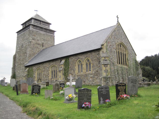
St Beuno's Church, Bettws Cedewain
St Beuno's Church, Bettws Cedewain lies within the historic county of Montgomeryshire in Powys. The church occupies a prominent position overlooking the...
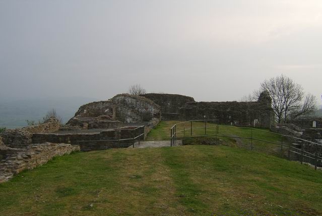
Dolforwyn Castle
Dolforwyn Castle (Welsh: Castell Dolforwyn) is a Welsh medieval castle above the village of Abermule, Powys. The fortification was established by Llywelyn...

Yew tree cottage
Situated under the ramparts of Dolforwyn Castle, near Abermule in the Welsh county of Powys in the United Kingdom, Yew tree cottage is a part 17th century...
Nearby Amenities
Located within 500m of 52.568,-3.262Have you been to Pen-y-gaer?
Leave your review of Pen-y-gaer below (or comments, questions and feedback).