Penygorddyn
Heritage Site in Montgomeryshire
Wales
Penygorddyn
The requested URL returned error: 429 Too Many Requests
If you have any feedback on the listing, please let us know in the comments section below.
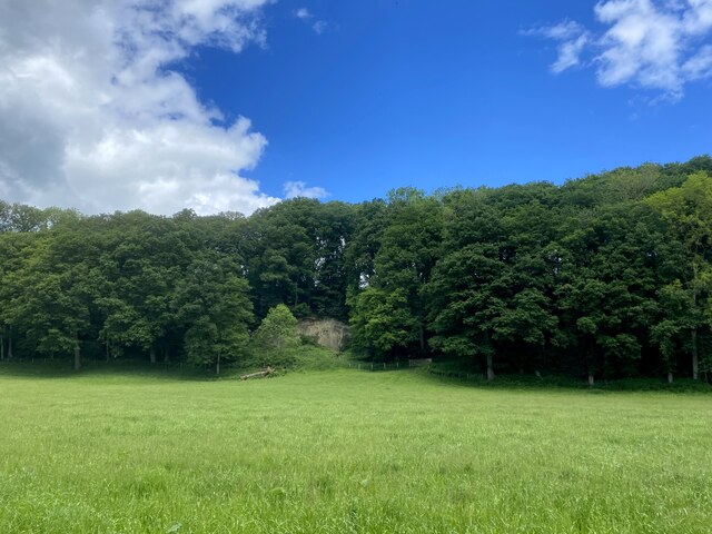
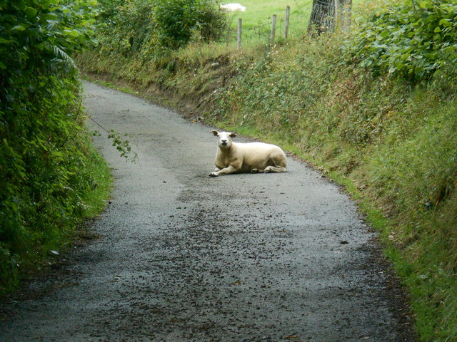
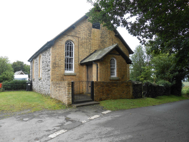
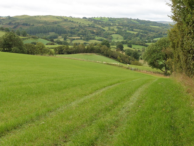
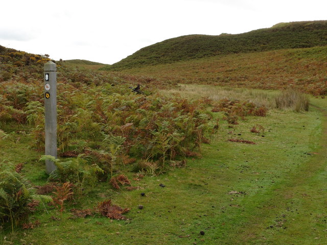
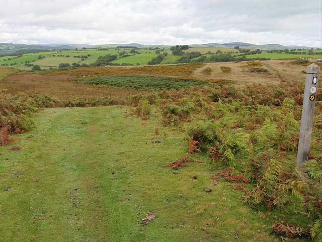
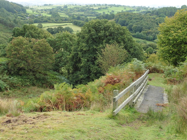
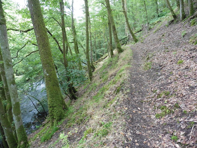
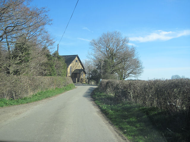
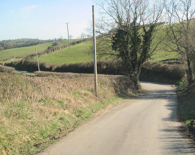
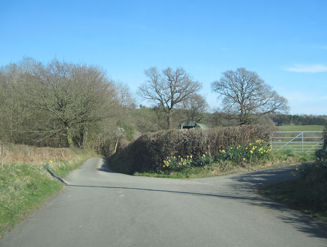
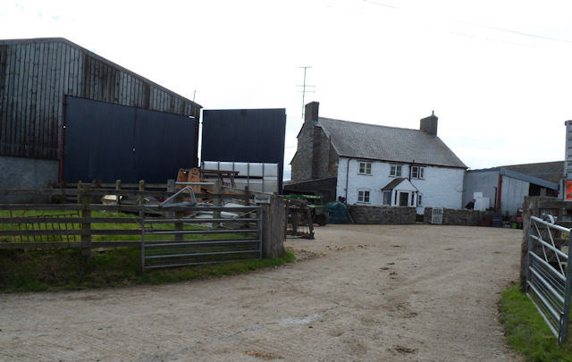
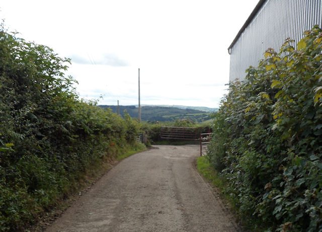
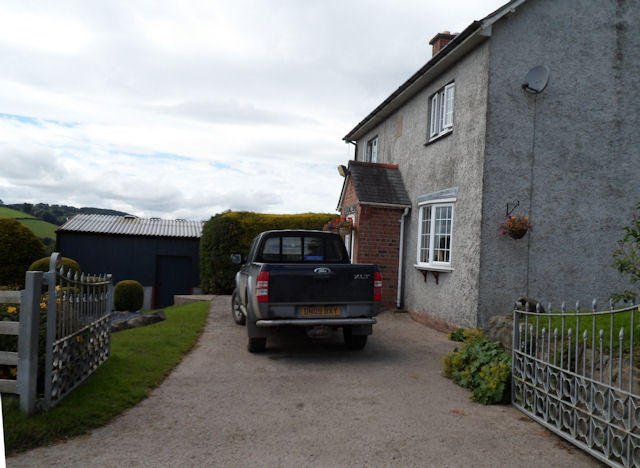
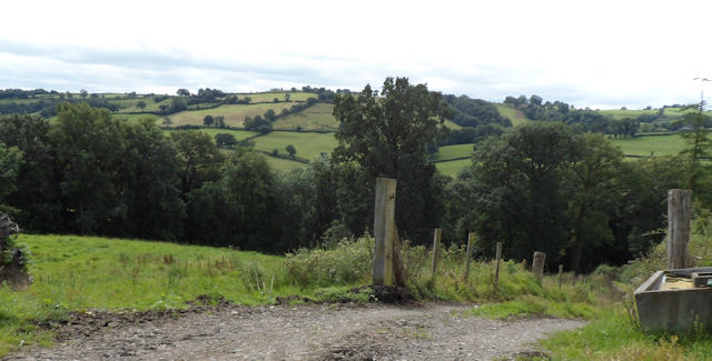
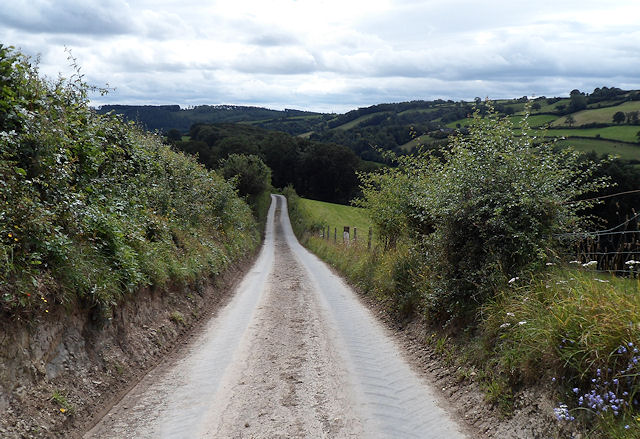
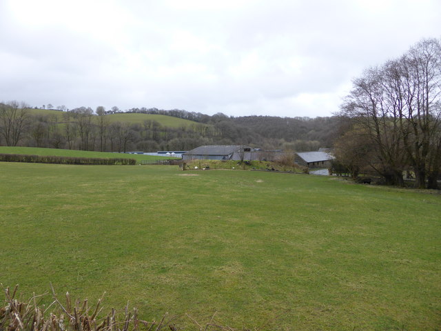
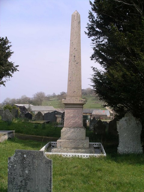
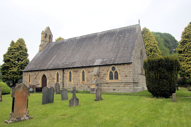
Penygorddyn Images
Images are sourced within 2km of 52.72/-3.355 or Grid Reference SJ0814. Thanks to Geograph Open Source API. All images are credited.

Penygorddyn is located at Grid Ref: SJ0814 (Lat: 52.72, Lng: -3.355)
What 3 Words
///pods.exists.staked. Near Llanfyllin, Powys
Nearby Locations
Related Wikis
Llanfihangel-yng-Ngwynfa
Llanfihangel-yng-Ngwynfa () was a parish within the former historic county of Montgomeryshire. It now forms a major part of the community of Llanfihangel...

Dolanog
Dolanog () or Pont Dolanog is an ecclesiastical parish or chapelry that was formed in October 1856. It comprises the townships of Dolwar in Llanfihangel...

Plynlimon and Hafan Tramway
The Plynlimon and Hafan Tramway was a 2 ft 3 in (686 mm) gauge narrow gauge railway in Cardiganshire (now Ceredigion) in Mid Wales. It ran from Llanfihangel...
Pontrobert
Pontrobert is an ecclesiastical parish that was formed in September 1854. It comprises the townships of Teirtref and part of Nantymeichiaid in the parish...
Nearby Amenities
Located within 500m of 52.72,-3.355Have you been to Penygorddyn?
Leave your review of Penygorddyn below (or comments, questions and feedback).