Paycocke's House and Cottage
Heritage Site in Essex Braintree
England
Paycocke's House and Cottage
Paycocke's House and Cottage is a historic heritage site located in Coggeshall, Essex, England. Built in the 16th century, it is a remarkable example of a timber-framed house, showcasing the architectural style prevalent during the Tudor period. The site consists of two distinct buildings, Paycocke's House and the adjacent Cottage.
Paycocke's House, the larger of the two structures, is a two-story building characterized by its intricately carved wooden panels and exposed beams. The exterior boasts a striking black-and-white design, which is typical of Tudor architecture. Inside, visitors can explore a series of rooms that have been carefully restored to reflect the house's original 16th-century appearance. The Great Hall, with its high timbered ceiling and large fireplace, provides a glimpse into the grandeur of the period.
Adjacent to Paycocke's House is the Cottage, a smaller, single-story building that was once used as a work area for the house's occupants. This charming addition to the site maintains the same architectural style as the main house, with exposed timber beams and ornate carvings.
Paycocke's House and Cottage offer visitors a unique opportunity to step back in time and experience the rich history of the Tudor era. The site is not only an architectural gem but also a testament to the craftsmanship and skill of the period. Open to the public, it provides guided tours, educational exhibits, and a chance to immerse oneself in the fascinating world of Tudor England.
If you have any feedback on the listing, please let us know in the comments section below.
Paycocke's House and Cottage Images
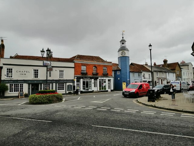
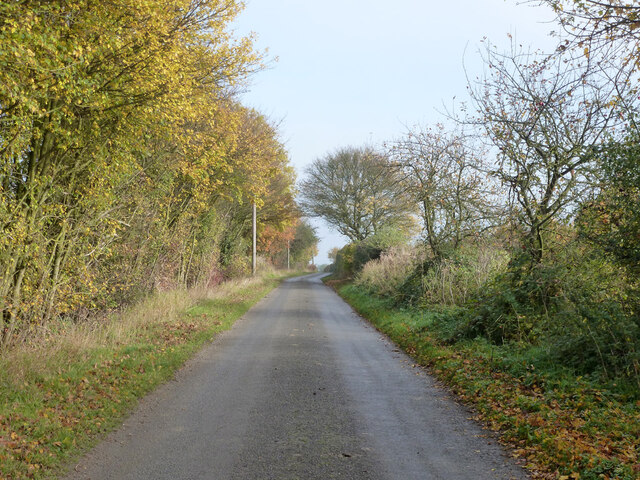
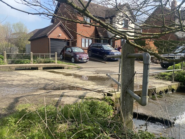
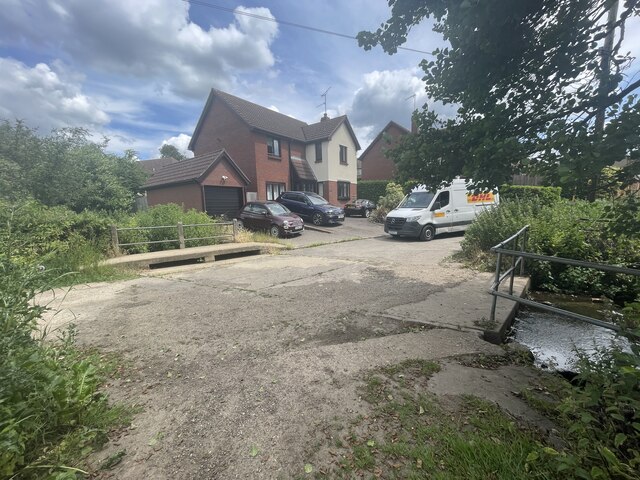
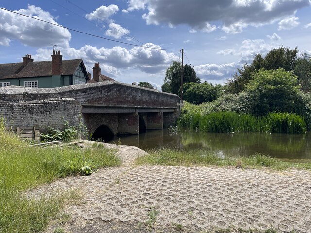
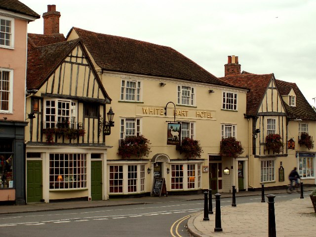
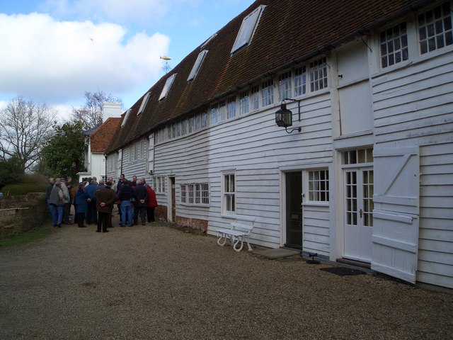
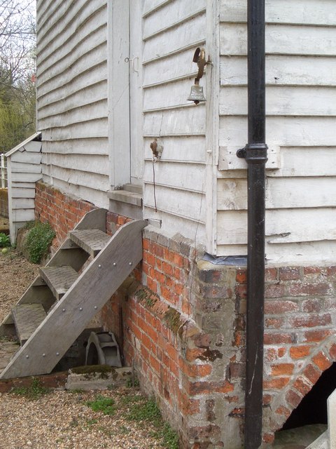
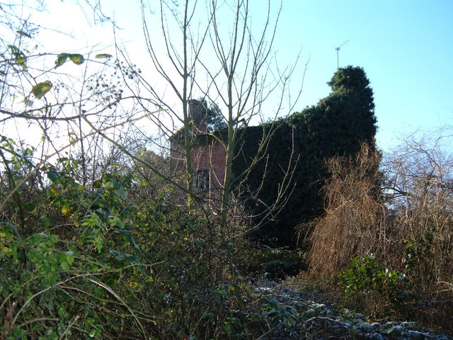
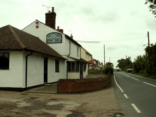
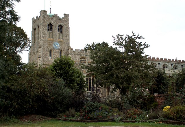
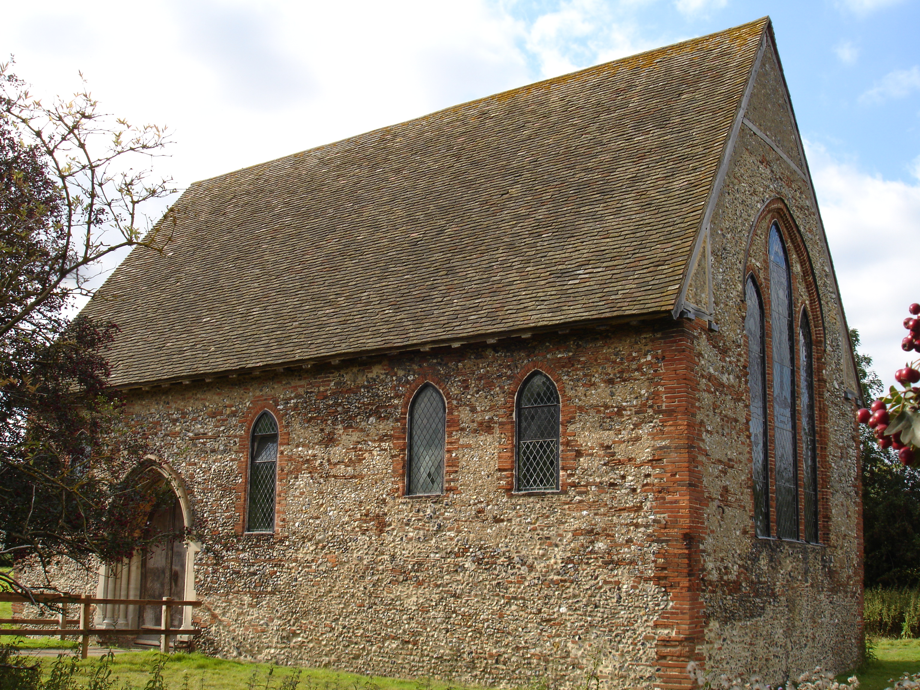
Images are sourced within 2km of 51.87/0.683 or Grid Reference TL8422. Thanks to Geograph Open Source API. All images are credited.

Paycocke's House and Cottage is located at Grid Ref: TL8422 (Lat: 51.87, Lng: 0.683)
Administrative County: Essex
District: Braintree
Police Authority: Essex
What 3 Words
///vandalism.loafer.user. Near Coggeshall, Essex
Nearby Locations
Related Wikis
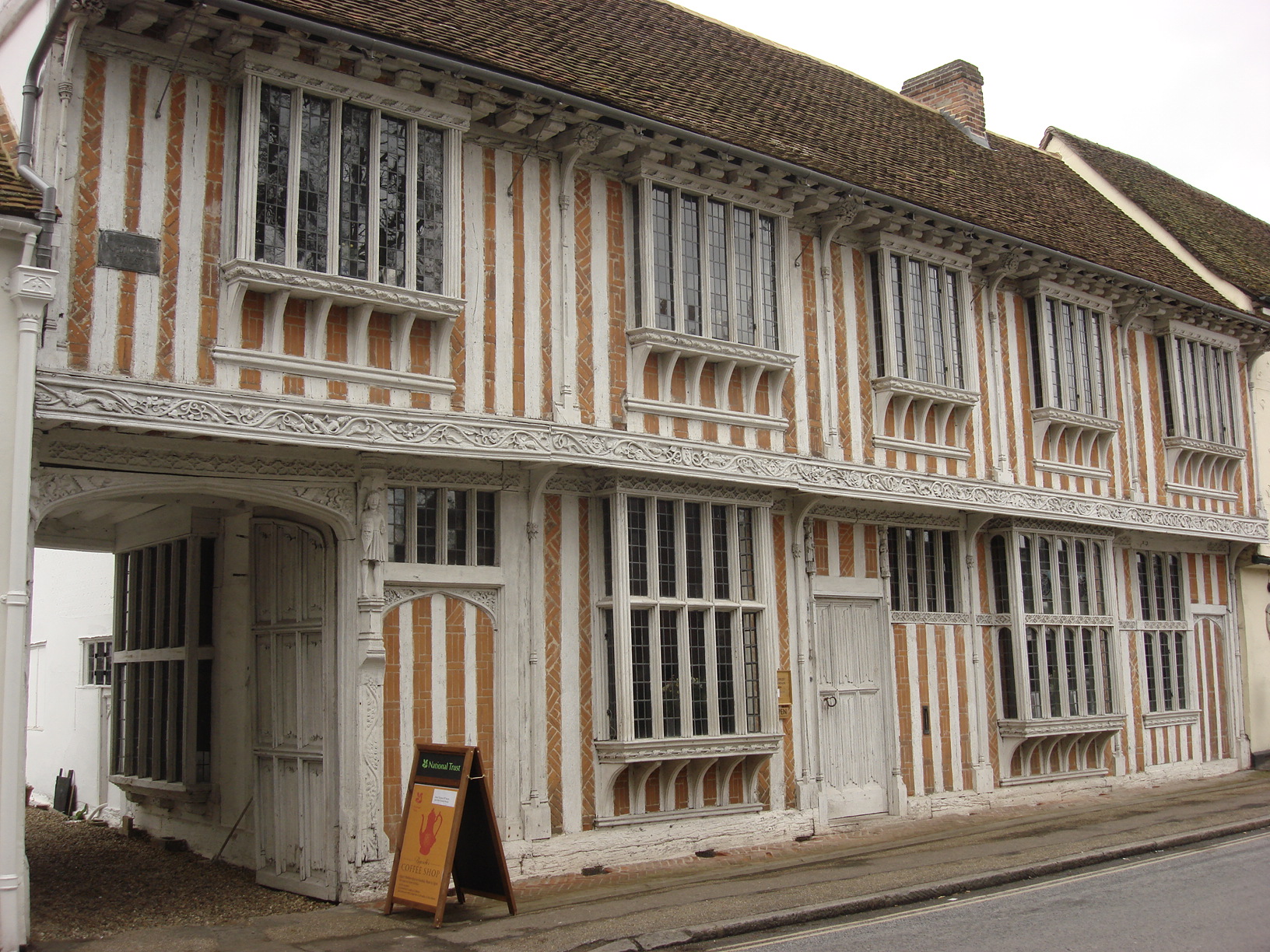
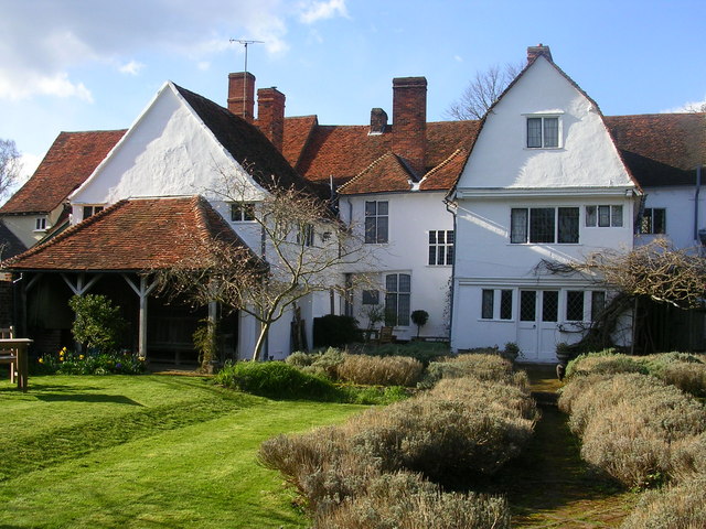
Paycocke's House and Gardens
Paycocke's House and Gardens are a surviving example of a Tudor merchant's house and garden in Coggeshall, Essex, England. The house was built for Thomas...

Grange Barn, Coggeshall
Grange Barn is a historic timber-framed building in Coggeshall, Essex, England. Grange Barn was built by the Cistercians in the 13th century to serve Coggeshall...
Coggeshall
Coggeshall ( or ) is a town in Essex, England, between Braintree and Colchester on the Roman road Stane Street and the River Blackwater. It has almost...
Coggeshall Abbey
Coggeshall Abbey, situated south of the town of Coggeshall in Essex, was founded in 1140 by King Stephen of England and Matilda of Boulogne, as a Savigniac...
Nearby Amenities
Located within 500m of 51.87,0.683Have you been to Paycocke's House and Cottage?
Leave your review of Paycocke's House and Cottage below (or comments, questions and feedback).