Paycocke's House
Heritage Site in Essex Braintree
England
Paycocke's House
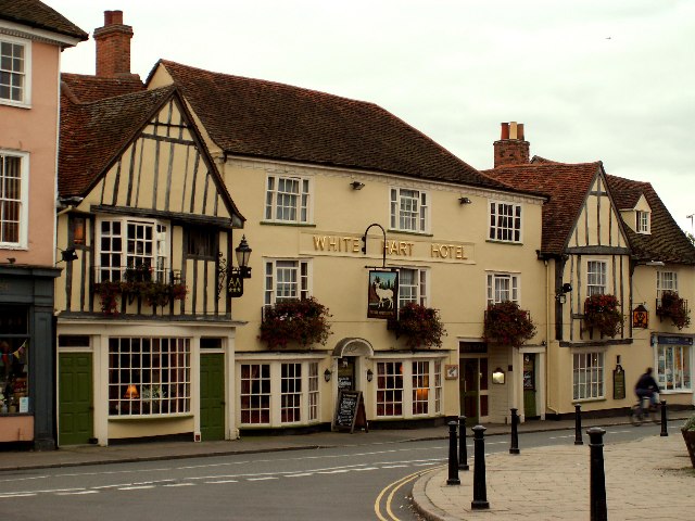
Paycocke's House is a historically significant heritage site located in Coggeshall, Essex, England. Built in the early 16th century, it is a fine example of a timber-framed merchant's house from the Tudor period. The house is named after Thomas Paycocke, a wealthy cloth merchant who owned it in the late 15th century.
The exterior of Paycocke's House is characterized by its striking black and white timber frame, a traditional design popular during the Tudor era. The house features two stories, with a jettied upper floor projecting over the ground floor, supported by intricately carved wooden brackets. The timber framework is exposed and filled with wattle and daub, a traditional building technique using woven wooden strips and a mixture of mud, clay, and straw.
Inside, Paycocke's House showcases original features and period furnishings that provide visitors with a glimpse into the lives of the wealthy merchant class of the time. The rooms are adorned with oak paneling, ornate plasterwork, and decorative painted ceilings, showcasing the craftsmanship of the era.
The house also boasts a beautiful walled garden, which was restored to its original Tudor design in the 20th century. The garden features a variety of plants and herbs commonly used during the Tudor period, including roses, lavender, and herbs for culinary and medicinal purposes.
Today, Paycocke's House is owned and maintained by the National Trust, which opens it to the public as a heritage site. It offers visitors a unique opportunity to immerse themselves in the rich history and architectural beauty of Tudor England.
If you have any feedback on the listing, please let us know in the comments section below.
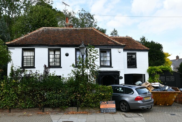
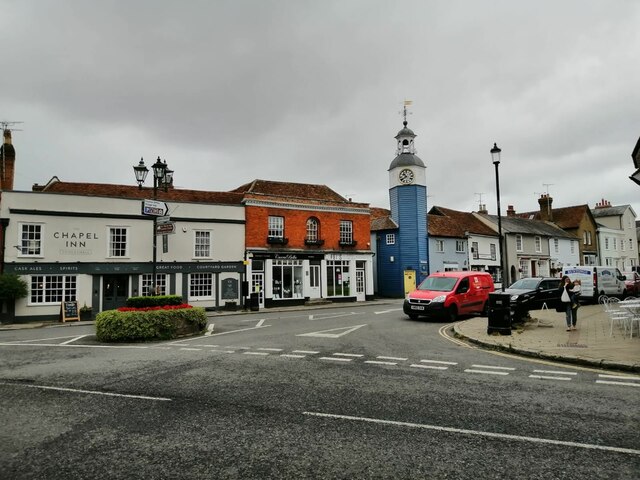
Paycocke's House Images
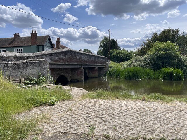
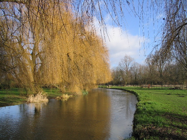
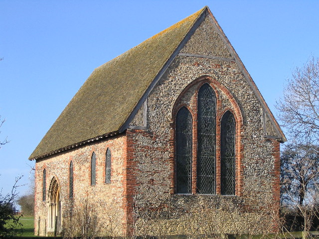
Images are sourced within 2km of 51.87/0.68 or Grid Reference TL8422. Thanks to Geograph Open Source API. All images are credited.

Paycocke's House is located at Grid Ref: TL8422 (Lat: 51.87, Lng: 0.68)
Administrative County: Essex
District: Braintree
Police Authority: Essex
What 3 Words
///property.crunched.yard. Near Coggeshall, Essex
Nearby Locations
Related Wikis
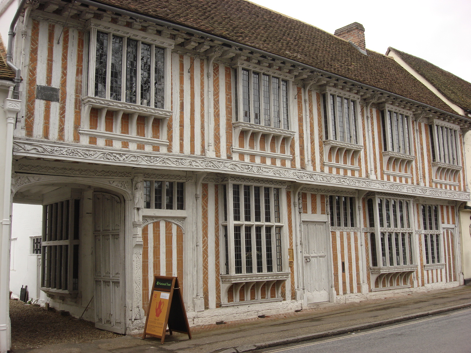
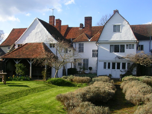
Paycocke's House and Gardens
Paycocke's House and Gardens are a surviving example of a Tudor merchant's house and garden in Coggeshall, Essex, England. The house was built for Thomas...

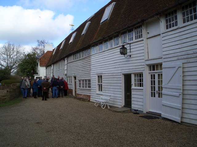
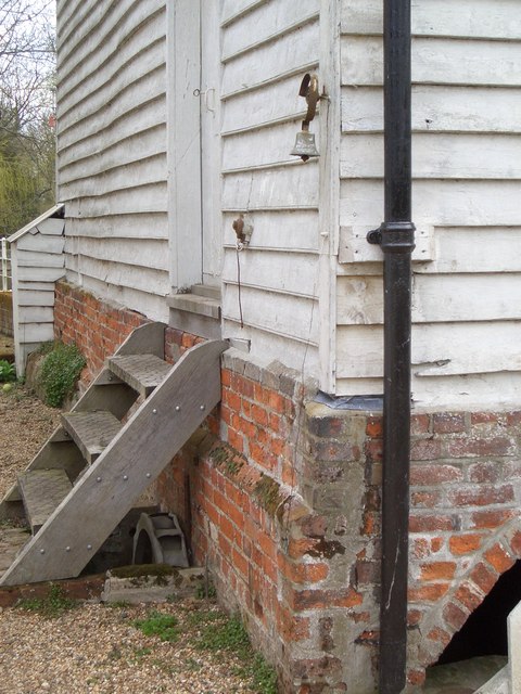
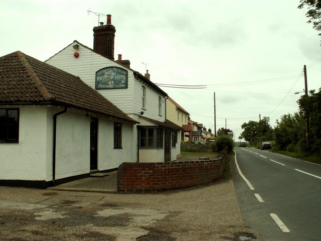
Grange Barn, Coggeshall
Grange Barn is a historic timber-framed building in Coggeshall, Essex, England. Grange Barn was built by the Cistercians in the 13th century to serve Coggeshall...

Coggeshall Town F.C.
Coggeshall Town Football Club is a football club based in Coggeshall, Essex, England. The club are currently members of the Essex Senior League and play...

Coggeshall United F.C.
Coggeshall United Football Club was a football club based in Coggeshall, Essex. They were founded in 2017 by former footballer Cliff Akurang. == History... ==
Coggeshall
Coggeshall ( or ) is a town in Essex, England, between Colchester and Braintree on the Roman road Stane Street and the River Blackwater. It has almost...

A120 road
The A120 is an A-road in England, which runs between Puckeridge in Hertfordshire and Harwich in Essex. Along its route, the A120 bypasses the towns of...
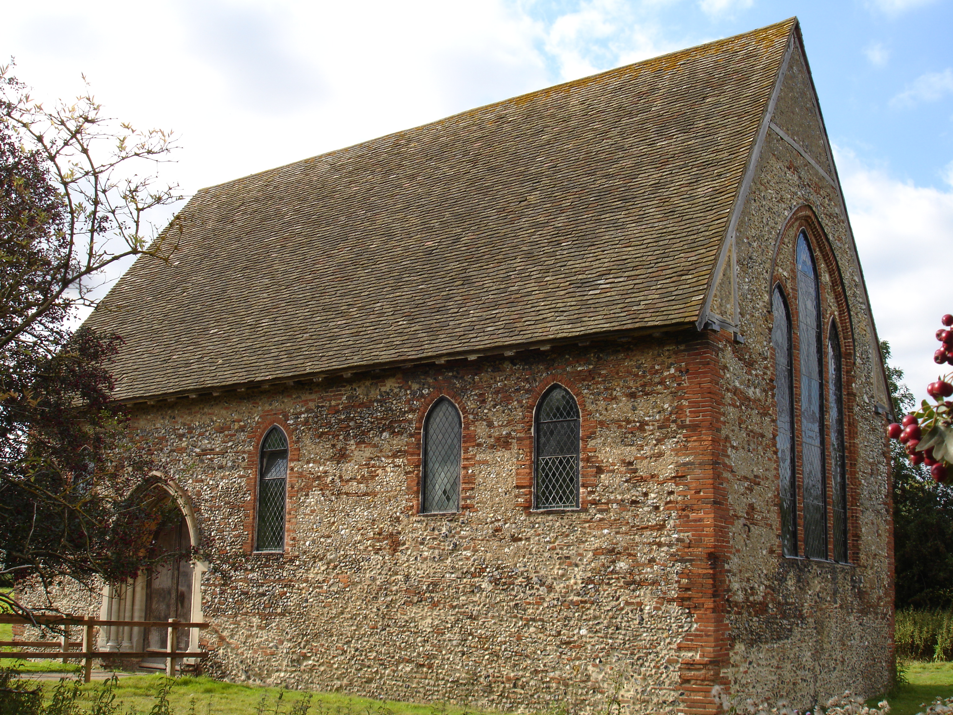
Coggeshall Abbey
Coggeshall Abbey, situated south of the town of Coggeshall in Essex, was founded in 1140 by King Stephen of England and Matilda of Boulogne, as a Savigniac...
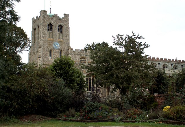
St Peter ad Vincula, Coggeshall
St Peter ad Vincula ('St Peter in chains') in Coggeshall, Essex, is one of a group of oversized churches built following the success of the early wool...
Nearby Amenities
Located within 500m of 51.87,0.68Have you been to Paycocke's House?
Leave your review of Paycocke's House below (or comments, questions and feedback).